Click on pictures to view in full-screen. A map can be zoomed using the buttons and dragged within its window.
I expect most people jump off the train From Fort William at Lochailort and start walking eastwards along the road as soon as possible.
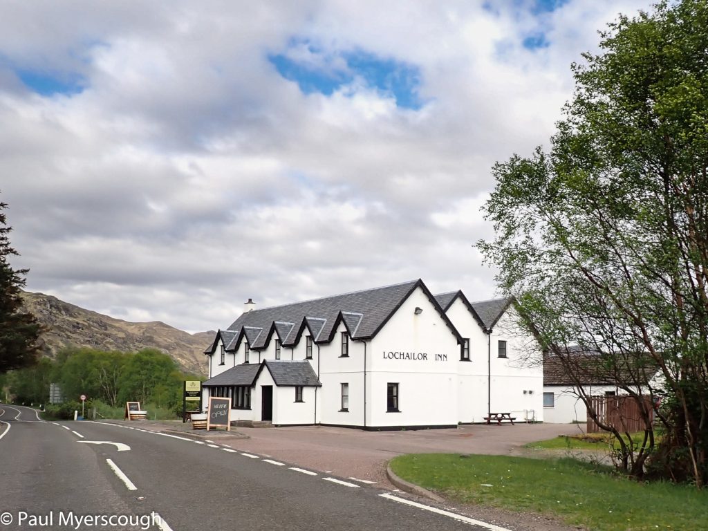
The sign-out point is the Lochailort Inn which had been closed for a few years. It reopened in May 2024, just in time for the TGO. The discounted room rate was £160 for a single, so I was not surprised that only two starters joined me on Wednesday night. Roger Thomas and Sabine Z enjoyed an evening in the bar as the drizzle turned to rain outside. Sabine made a quick excursion down to the Loch before saying goodnight.
We had reflected that Brexit has probably changed the hospitality industry in Scotland for good. The service level is down while prices have rocketed. The picture of the Inn with a ‘T’ missing from the name reminds me how my room had a kettle but no tea or milk. The room was not made-up after the first night of my two night stay. It was the cook who helped me dry my clothes and boots after a wet day out.
John Ferrari appeared in the morning having camped nearby. The three of them headed off down the road; no-one it seems was planning to use the hillside path shown on the map. Except me, that is.
There is information about my ‘acclimatisation day’ in Lochailort here. Without a recce it would have been a difficult start. The path is on the other side of the railway reached through a gap underneath the track a few hundred metres along the road from the Inn.
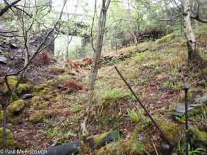
It had been an unseasonably dry in this part of the country so the light rain throughout the night and as I headed off did not dampen my optimism about an early river crossing this Thursday morning.
The map below shows the plan in blue and the walk as recorded by my Spot tracker in red.
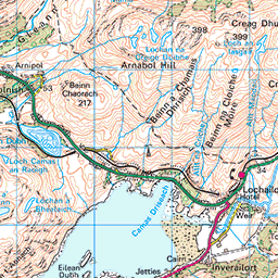

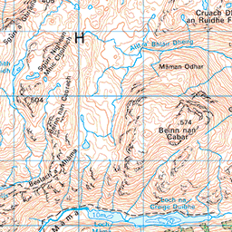

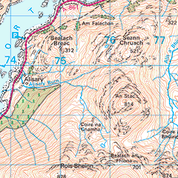


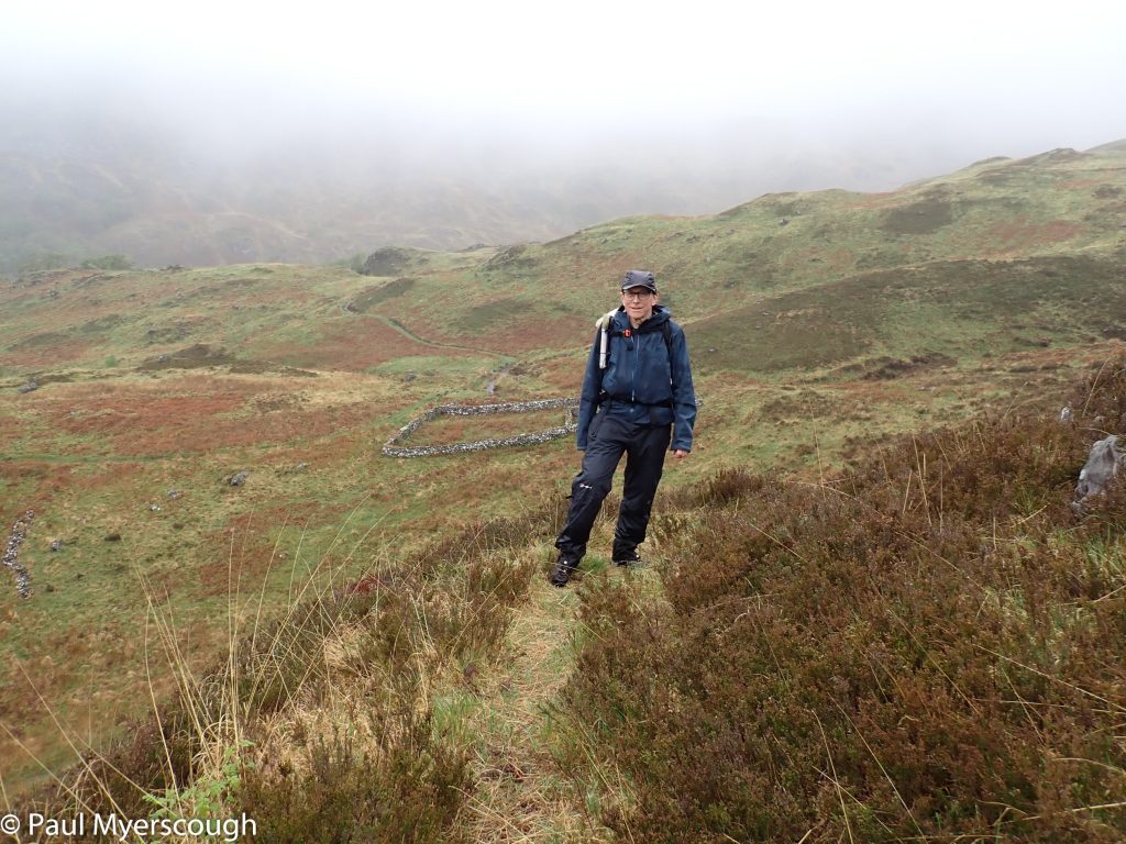
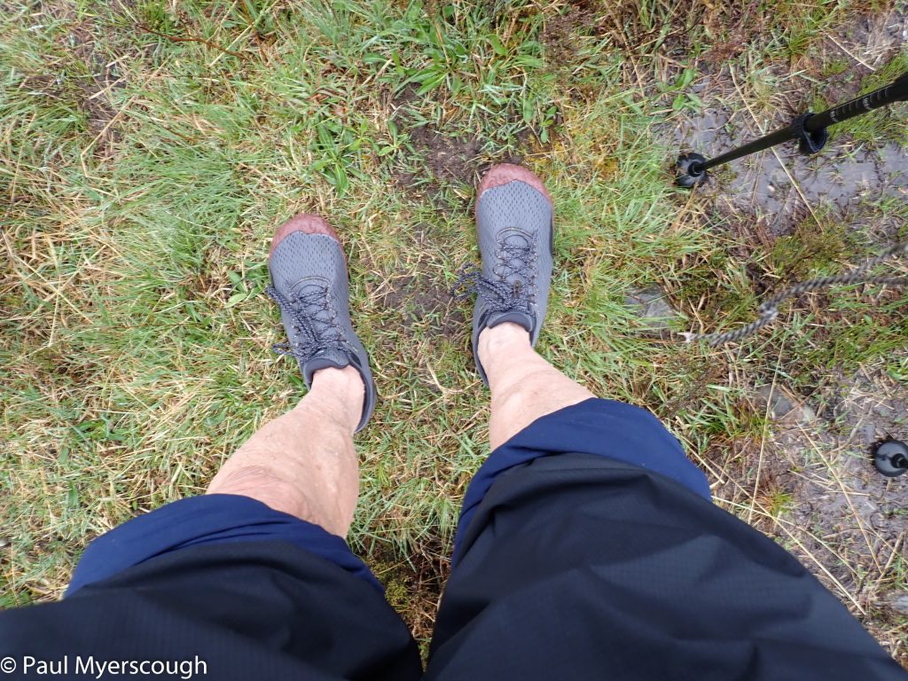
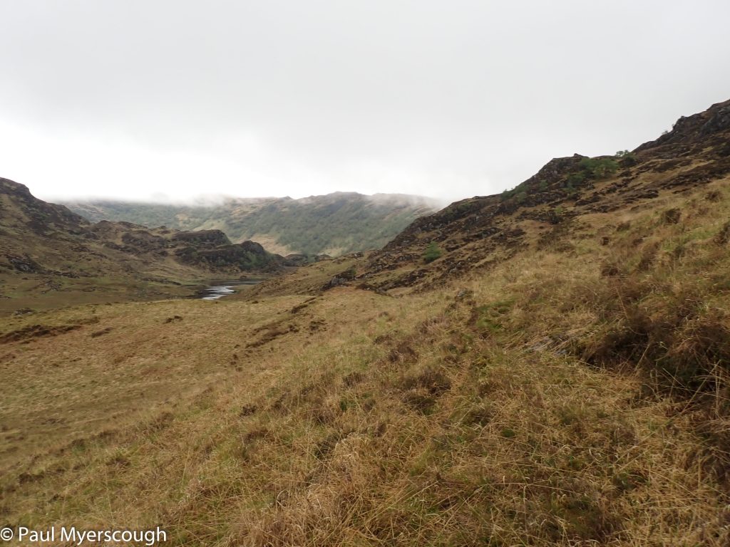
The ground was very wet underfoot and I reflected on my vetter’s demand for an alternative route in case of high water in the river. The path was the sort that is easier to see from a distance; as you reach it, it disappears. An irregularity in the hillside which, without traffic, blends in perfectly with the grass and rocks on either side.
very wet underfoot!
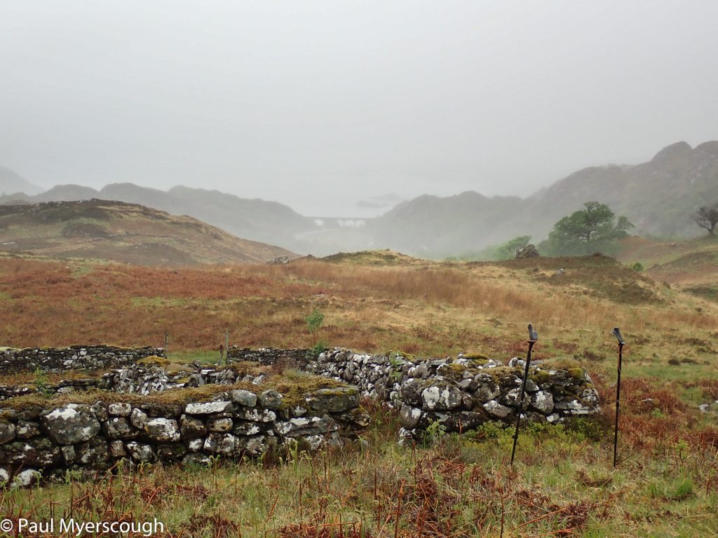
view to the coast
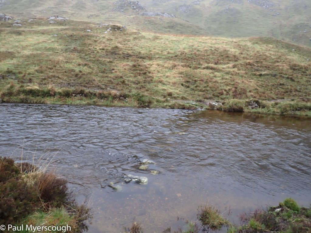
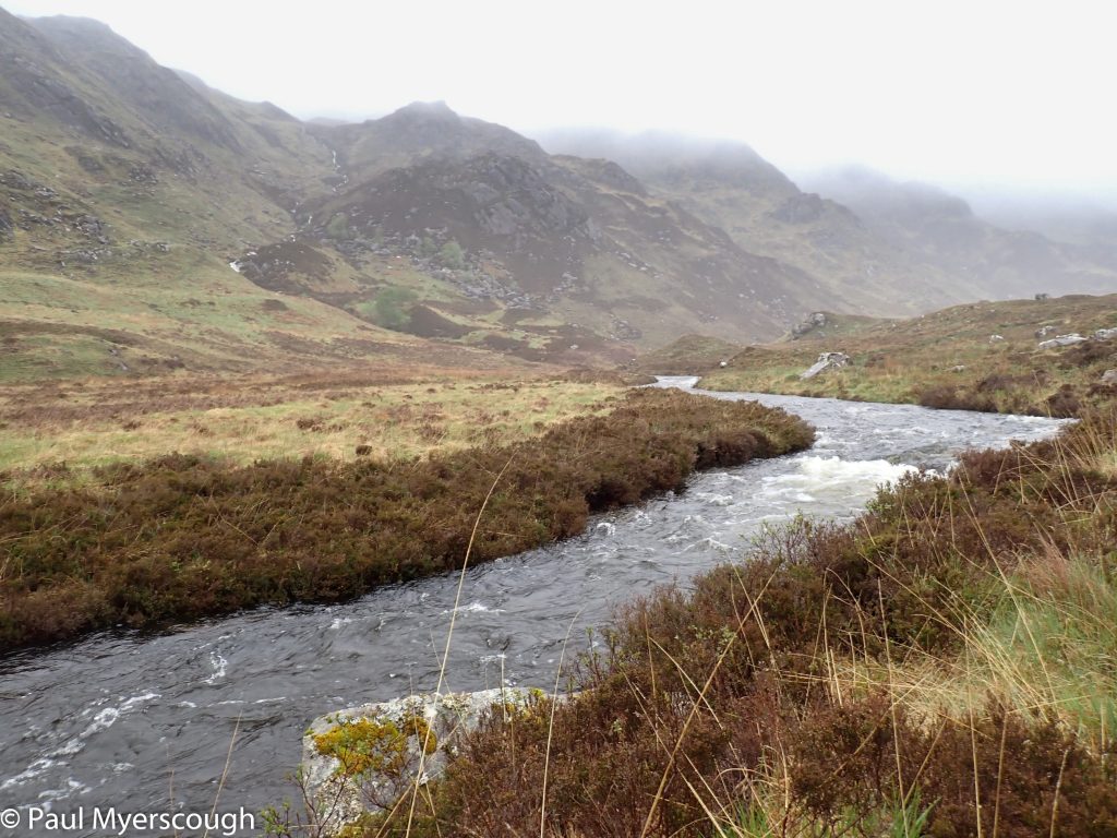
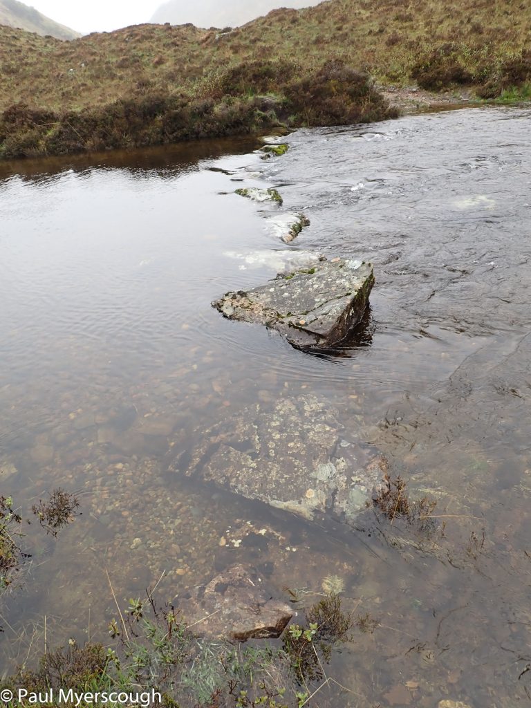
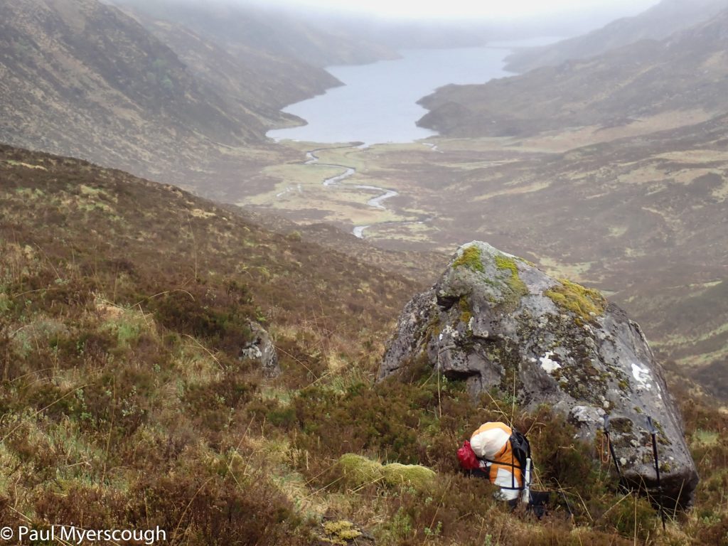
The target is Gleann Mama, and the path traverses across the hillside with views to the coast obscured by mist. Two hours in I reach the spot on the map marked “stepping stones”. The river is wide, flowing fast, probably quite deep near the middle although I can’t see because of the turbulent water surface, and the stepping stones are well under water. What a wise man, my vetter!
submerged stepping stones
fast flowing and turbulent
There were several options for me now. The most sensible was to head down stream a kilometre or so to a bridge and then head up the other side of the river. My brain was resistant to heading in the wrong direction however and I wanted to check the possibility of keeping on the south side of the lochs – it looked uncomfortable walking on the map, but how was in reality?
a new ford
ready to cross!
stepping stones
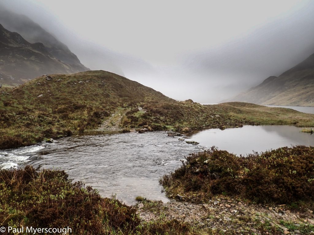
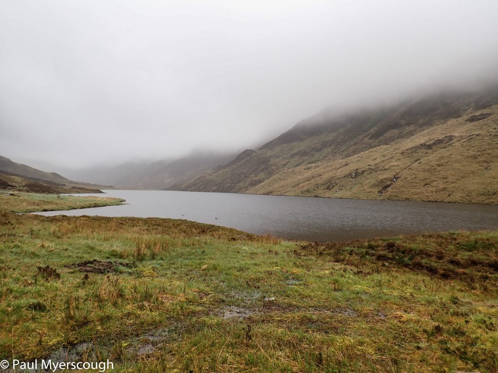
I followed an unmarked track which took me to the outflow of Loch Mama. Here I found a new ford and some giant stepping stones. The river was narrower and less turbulent that at the crossing point show on the map. Walking on the stones was possible even though they were underwater, and it was safe to wade on the upstream side.
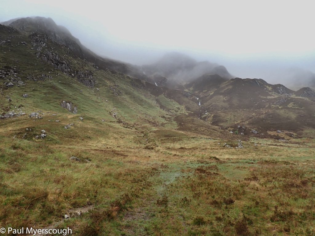
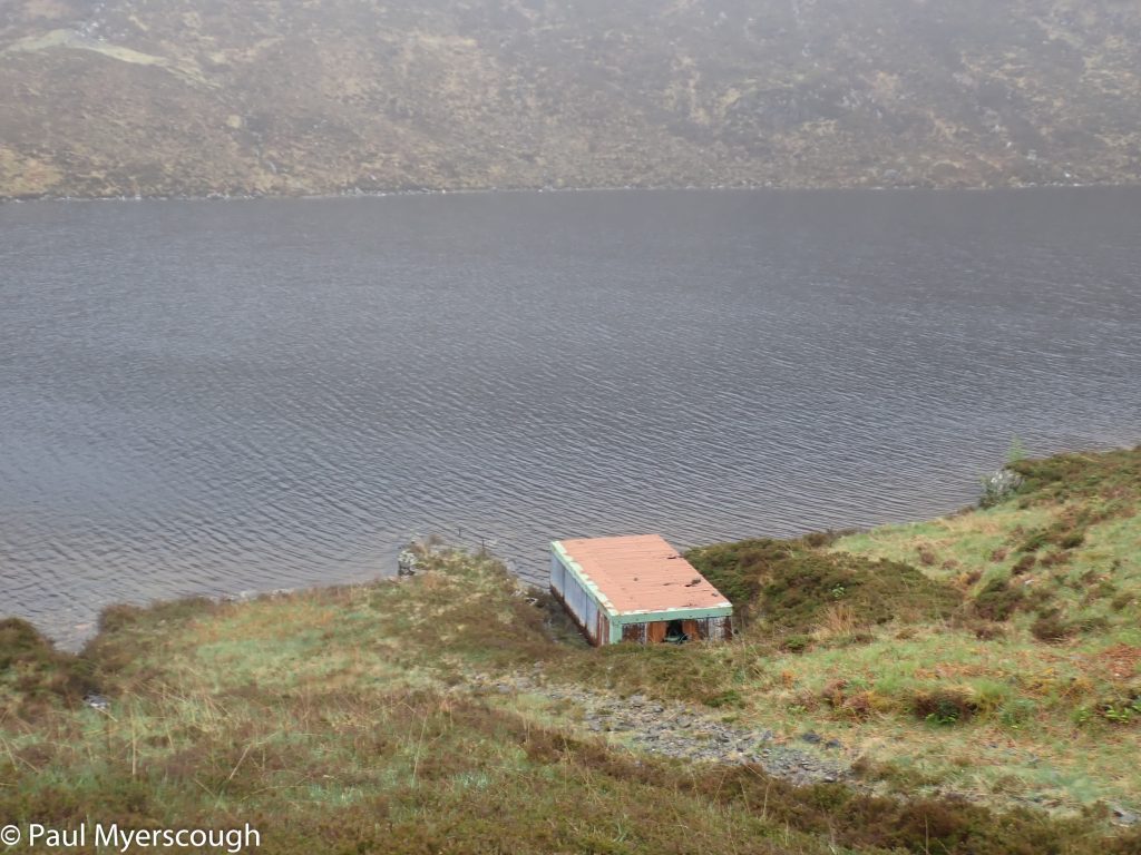
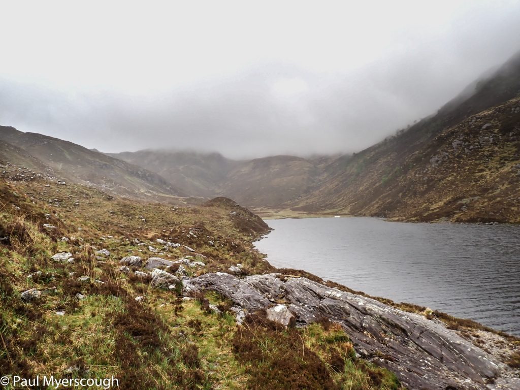
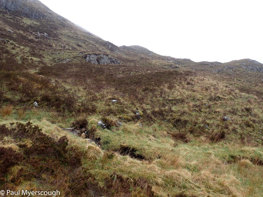
Once across the river the roar of water cascading down the hillside came into focus. High above streams and waterfalls had their origins obscured by cloud cloaking the ridge. The path, shown so clearly on the map, was intermittent and not well used. A small boathouse and a beached dingy at the top of the Loch indicated that others did visit here from time to time.
Loch Mama
'boathouse'
top of Loch na Creige Duibhe
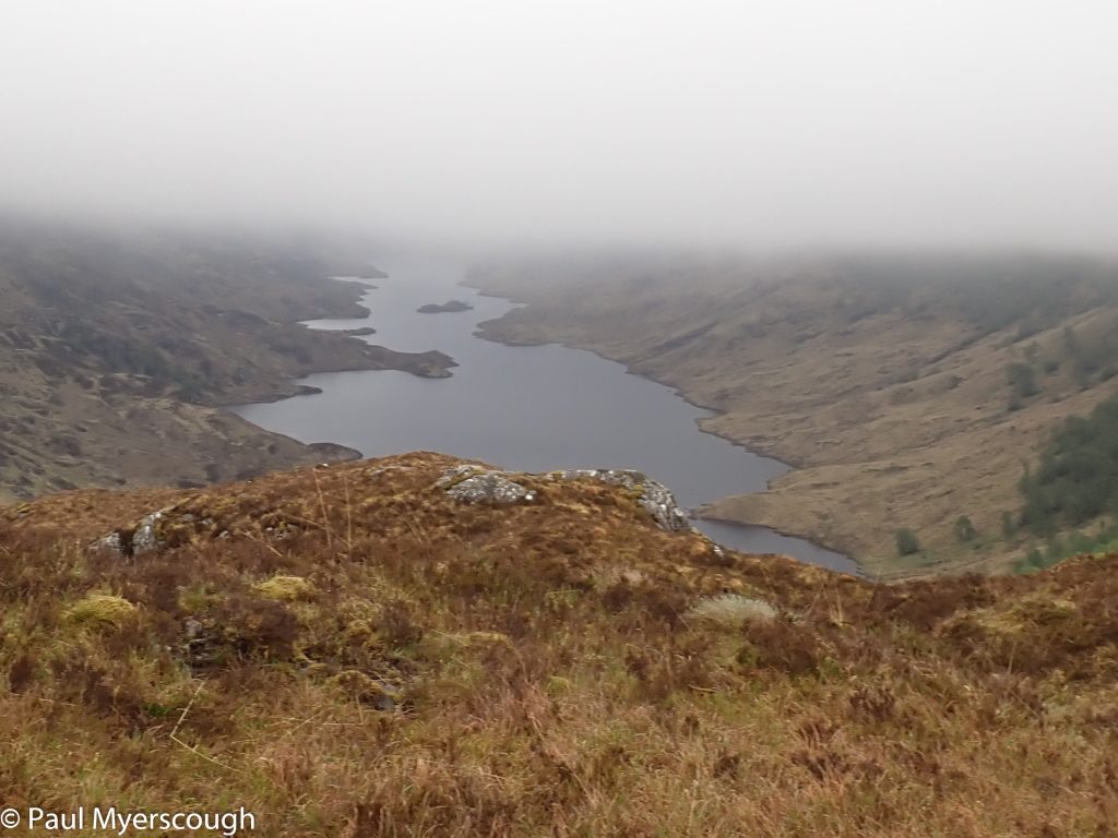
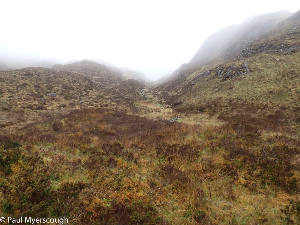
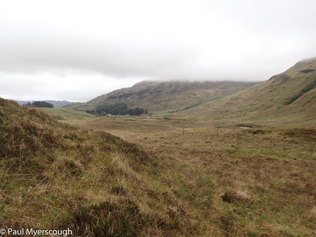
Behind the hill at the top of the glen lay the routes of my fellow Lochailort starters. Several were following the side of Loch Beoraid on another ‘intermittent’ path. The highest point was in mist which makes difficultly in judging distances and for navigation, but before long I had the dark waters of Beoraid in view.
West to Glean Mama
East to Beoraid
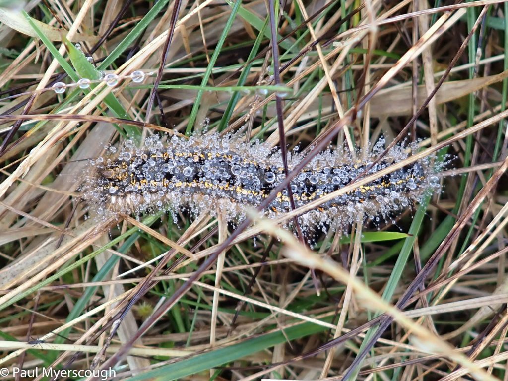
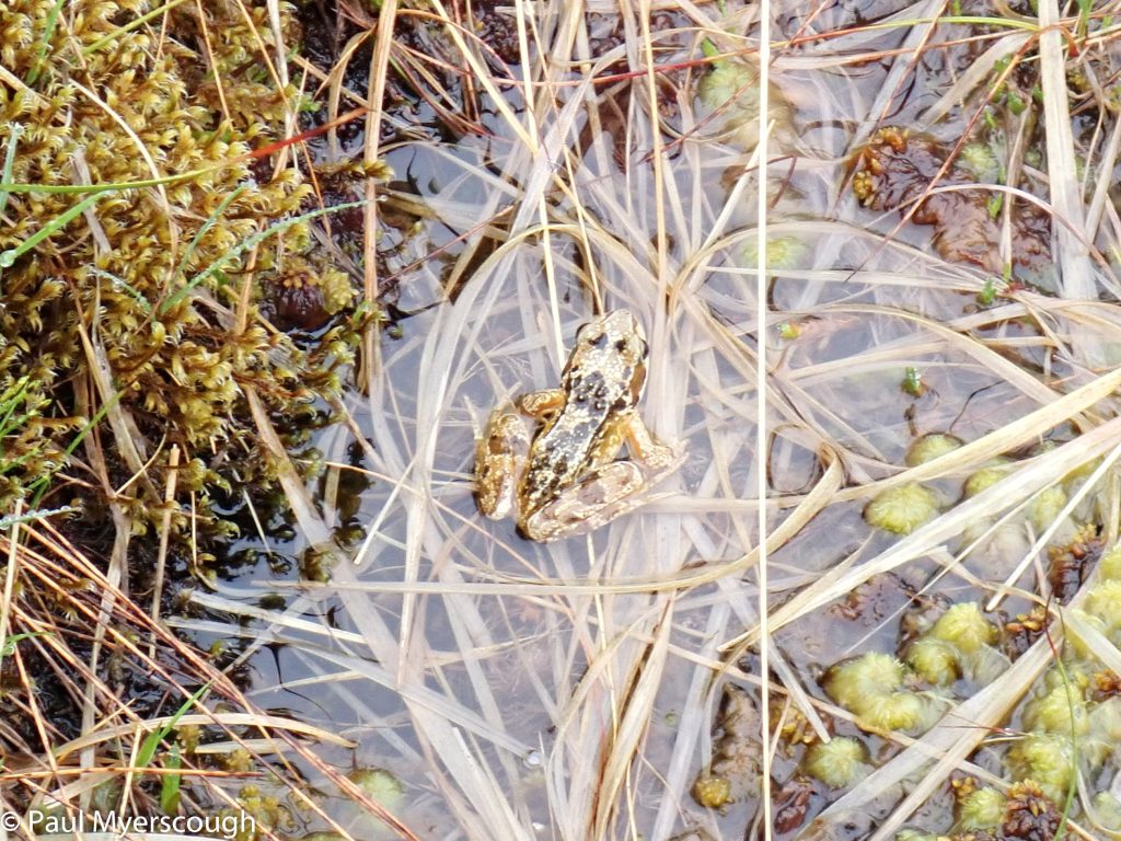
On this hillside the brown grass was alive with these large caterpillars and small frogs.
I headed north towards Meoble on a downward sloping path to cross the river. It was 3 in the afternoon. The rain had stopped and I could take my waterproofs off for the first time. There was no sign of human life among the modest buildings ahead.
visible path?
a faint line on the hillside
Meoble
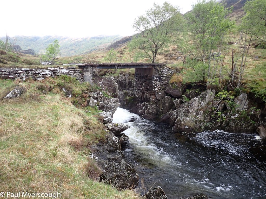
The bridge across river Meoble
As I reset my path to the east again I found two deer hiding out in a sheepfold.
The route up Slaite Coire was pathless and attractive with easy ground underfoot. I was skirting Meith Bheinn to reach my target Lochan a Bhrodainn. After a few false turns I found a way through without loosing too much altitude.
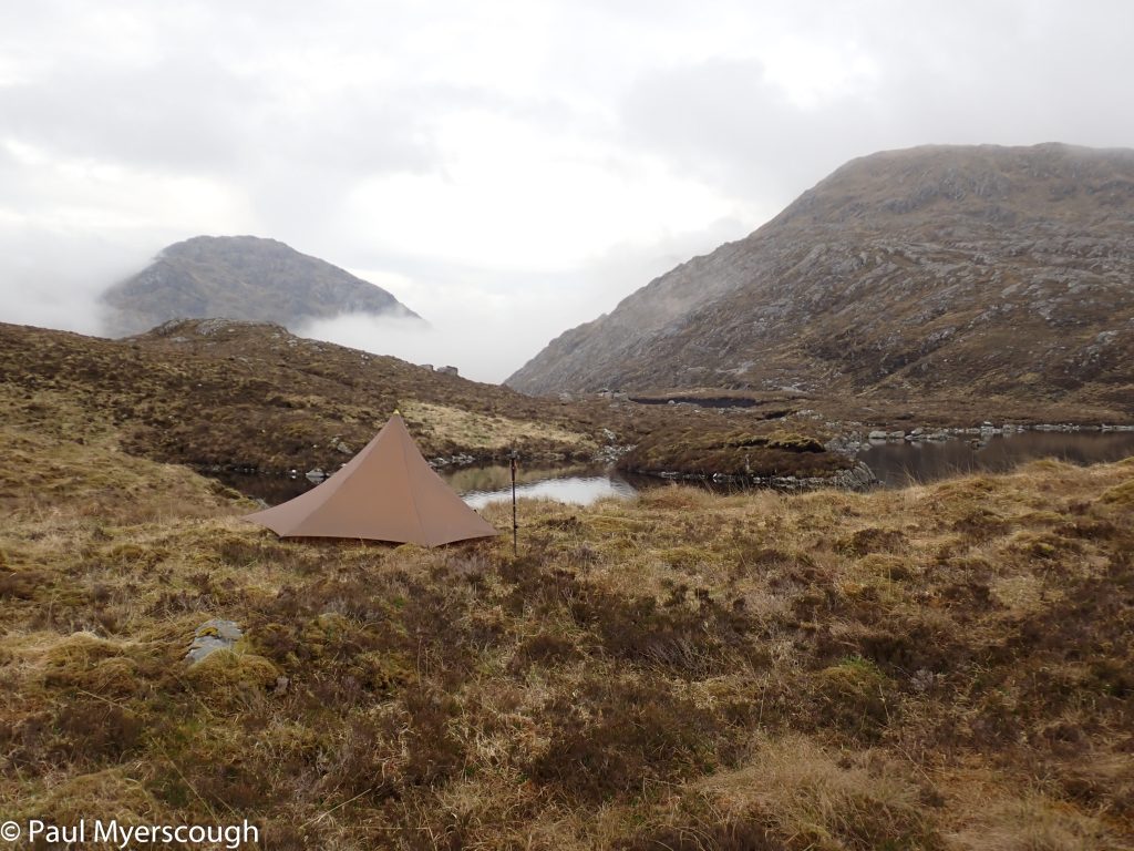
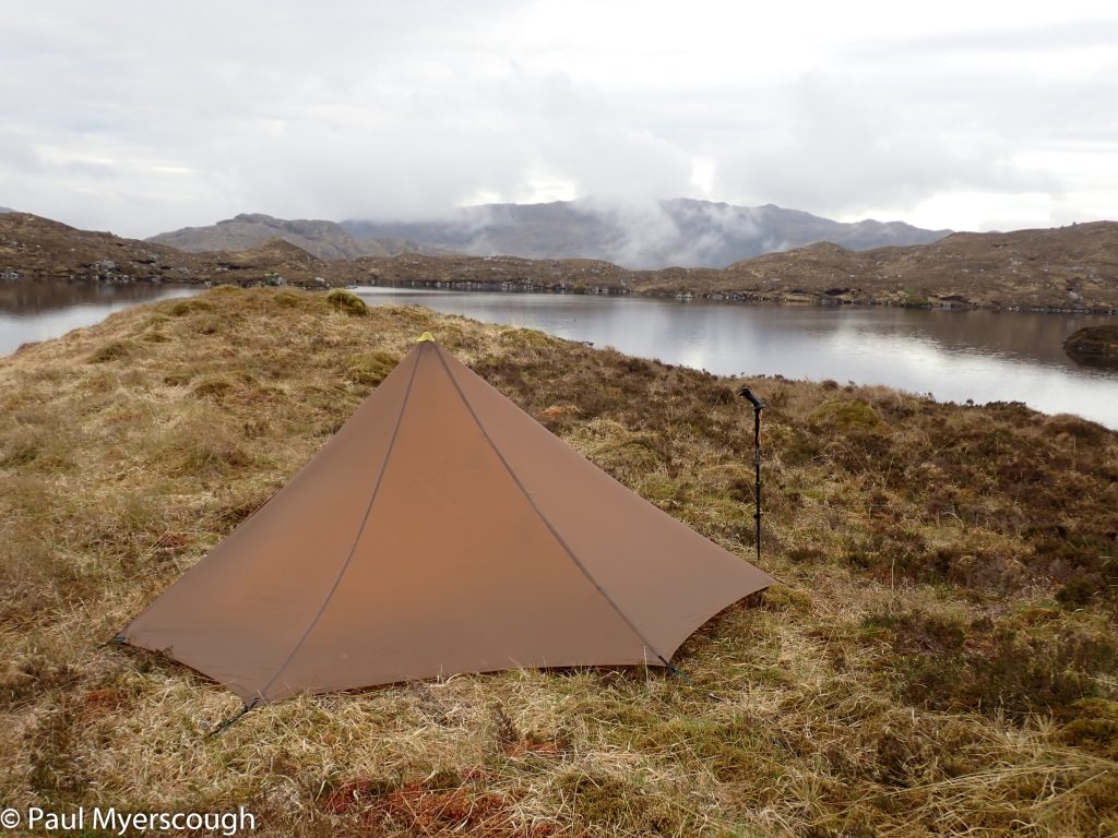
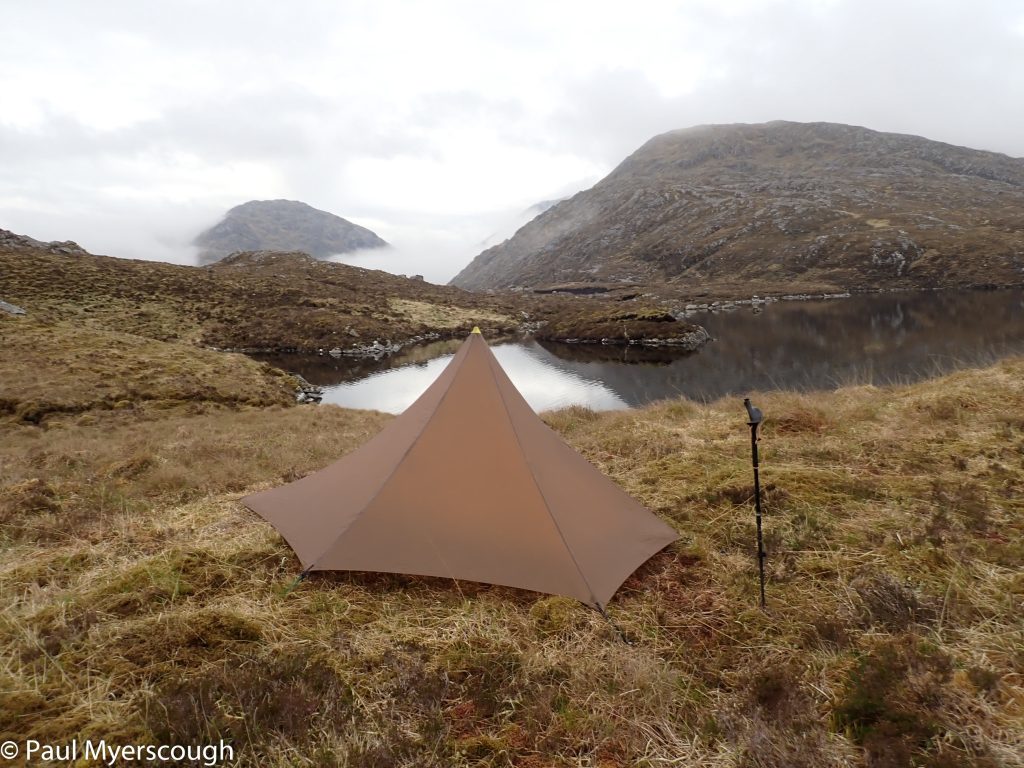
TGOC 24 - day 1 Lochan a' Bhrodainn
TGOC 24 - day 1 Lochan a' Bhrodainn
TGOC 24 - day 1 Lochan a' Bhrodainn
TGOC 24 - day 1 Lochan a' Bhrodainn
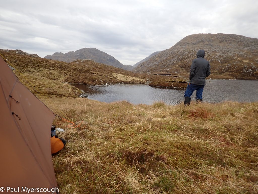
Soon after 7 I had established camp – to be shared with a lonely grebe on the water nearby. Given the weather, the day could not have been better. On the other side of the lochan was the promising start to my walk for tomorrow – a pathless twisting ridge leading to munros above Glenfinnan.
