The interactive maps on this site use an App provided by the UK Ordinance Survey. OpenSpace was made available 7 or 8 years ago. When married with a gpx file of location coordinates it provides a great illustration of a route superimposed on the standard OS maps. These can be zoomed in or out or panned in any direction.
Licensed users are allocated a key which is associated with the website. Although I have updated my key with the new website, it seems the information is not being synchronised with the App.
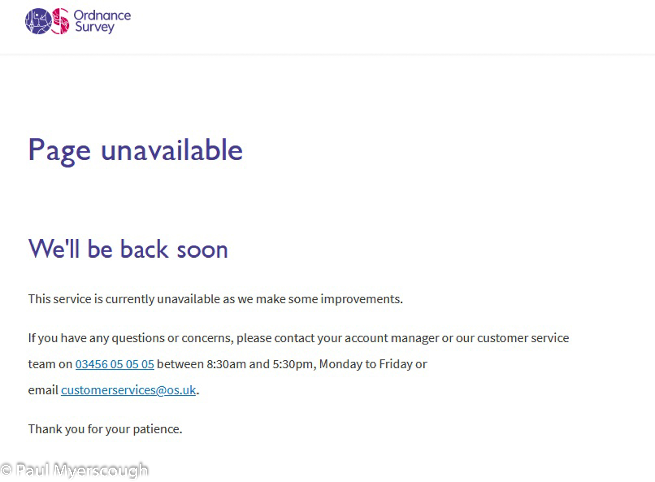
Several of the facilities associated with OpenSpace are missing – this page appears when you try to access the user forum. New user are advised to look at other options.

Leave a comment if you know how to stimulate a response from the Ordinance Survey!