Plockton to Redcastle Lunan Bay
Here’s the plan made in advance! You can click on a image to zoom in.
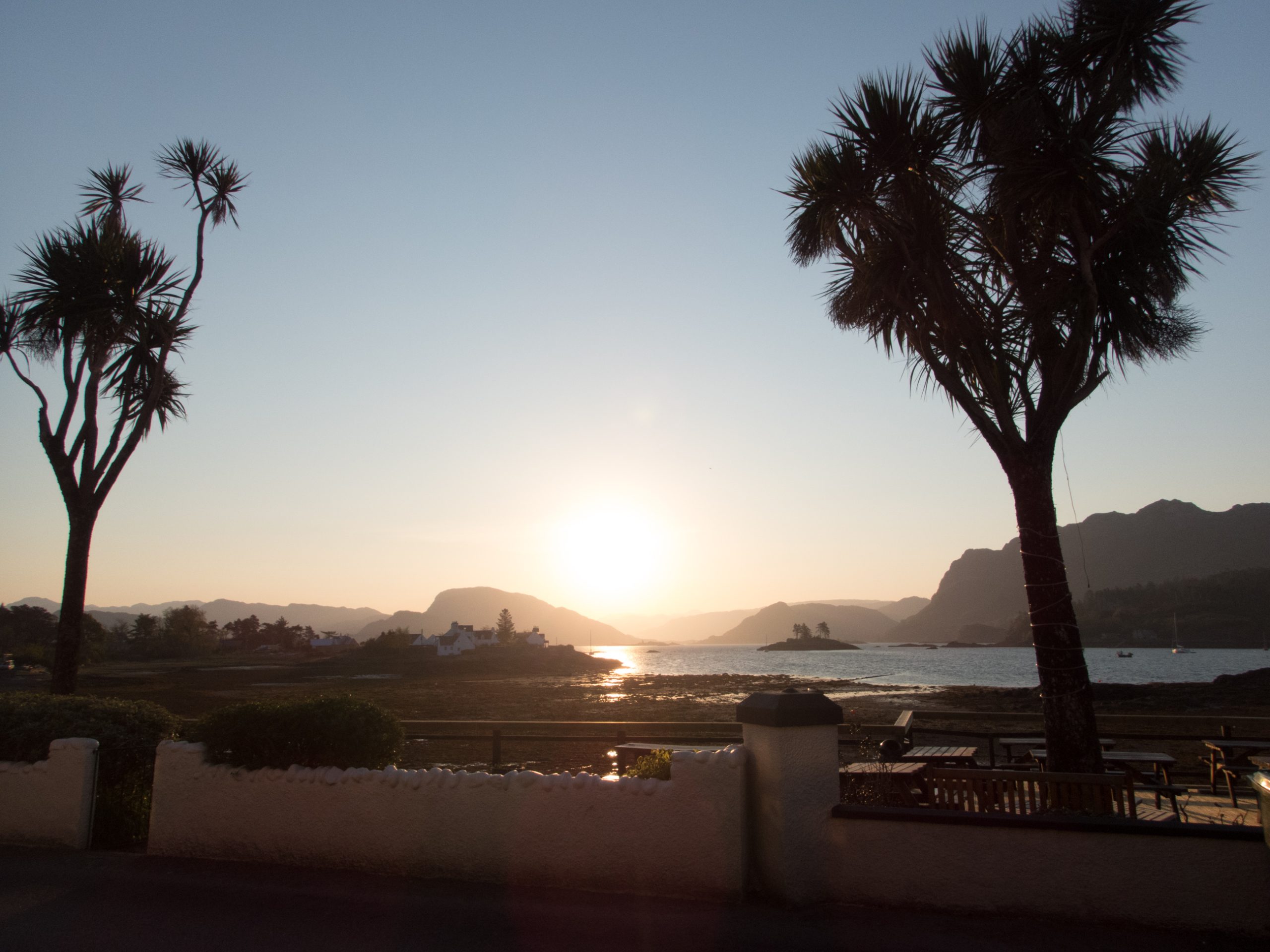
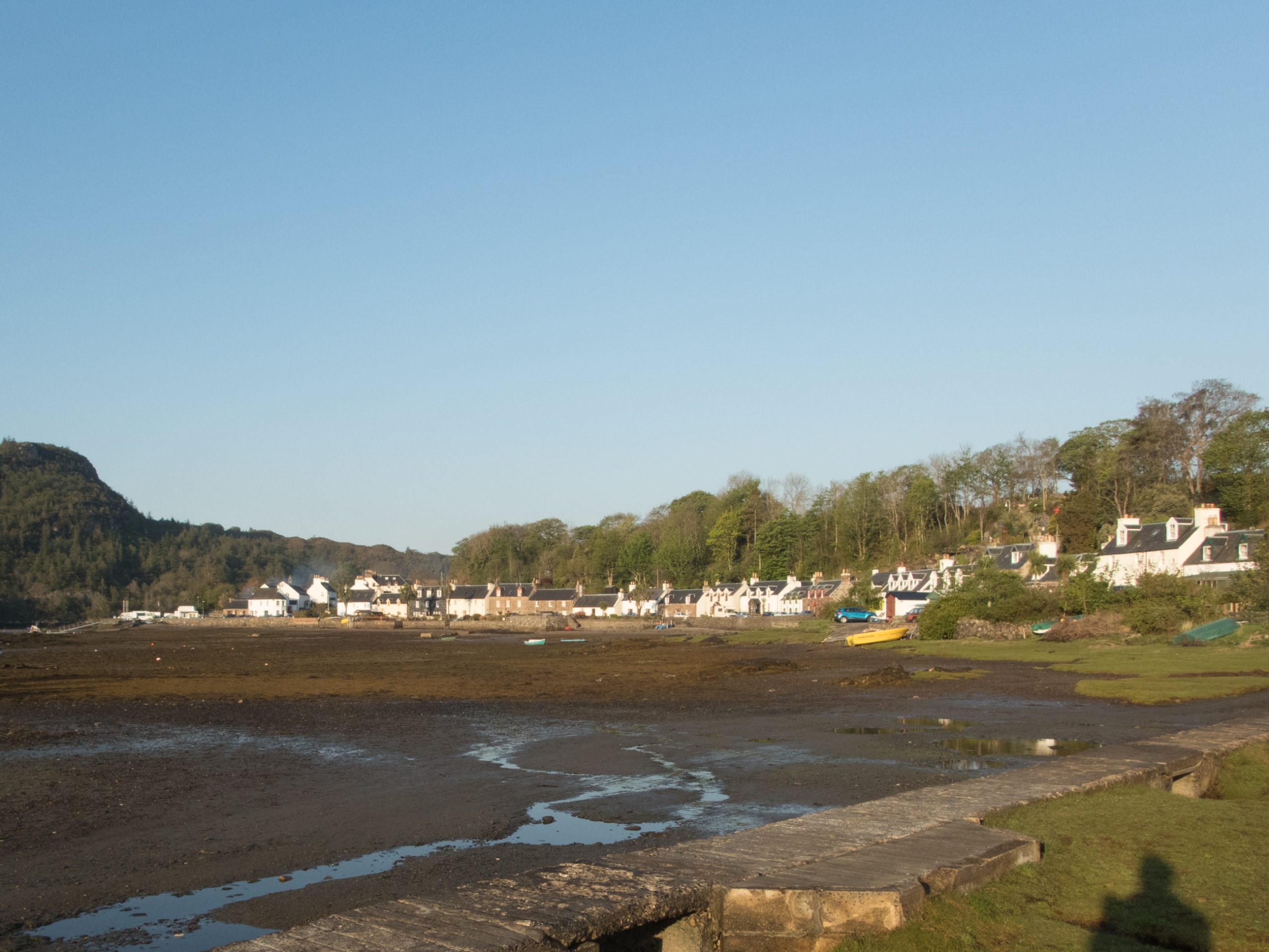
Plockton village is in an enclosed picturesque bay facing across the water to a bulky and barren rocky mass hiding Applecross. Easily accessible by train on the Inverness to Kyle of Lochalsh line and handy for excursions to the Isle of Skye, this is a popular tourist destination.
Download file for GPS
The outstanding excursion on foot from Plockton is to the ‘TV mast’. And this provides a good enough TGO start, a short section around the shoreline then upwards through woodland rich with primroses to reach about 350m – with spectacular views.
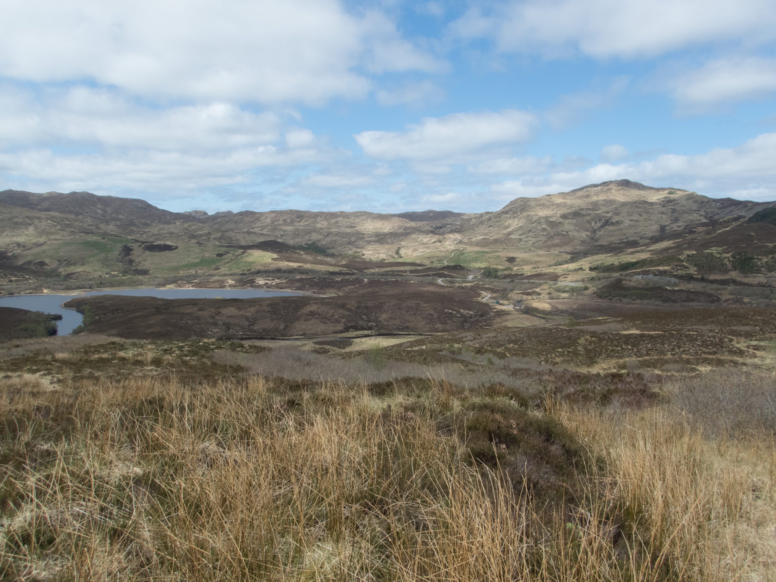
From here there’s some cross country via some unexplained ancient buildings – to reach the A890. The ridge beyond is pathless and not high, so heather dominates the landscape.
Its nice to look down on Dornie and the impressive intersection of lochs below.

I came down to Loch Long a little earlier than planned and enjoyed some interaction with local school children before marching along the side of the Loch in the sunshine.


This is a beautiful valley and towards the end of the loch there were glimpses of snow patches on the ridge which was part of tomorrow’s route. Camas Luinie was tonight’s target. There is a bunkhouse here, but my plan was to camp on the land beyond the end of the road.
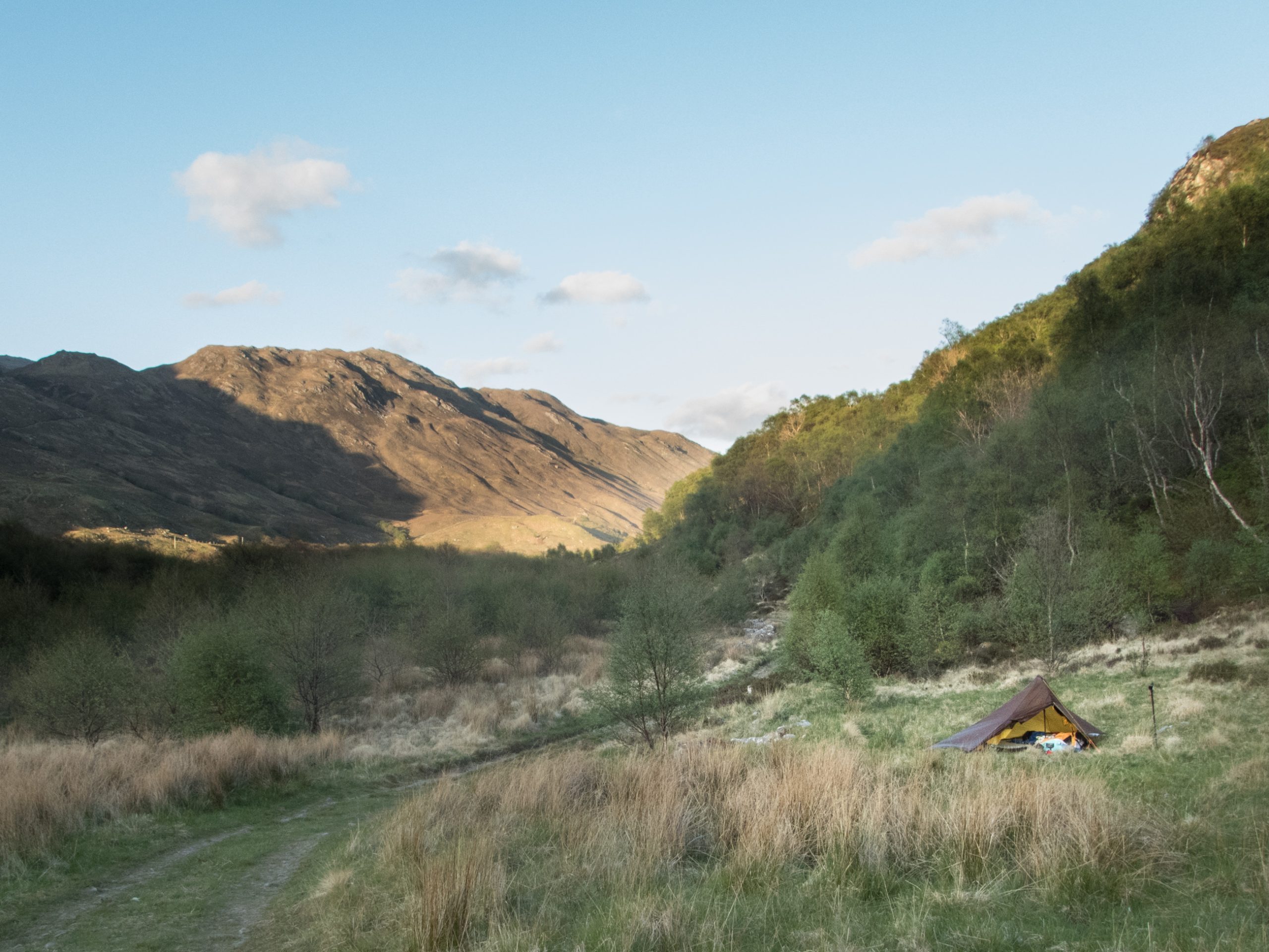
The streams from the hillside crossing the path were completely dry, but there was a trickling sound above and with a bit of a scramble I could find enough for my needs. Despite uneven ground a good first night.
Download file for GPS
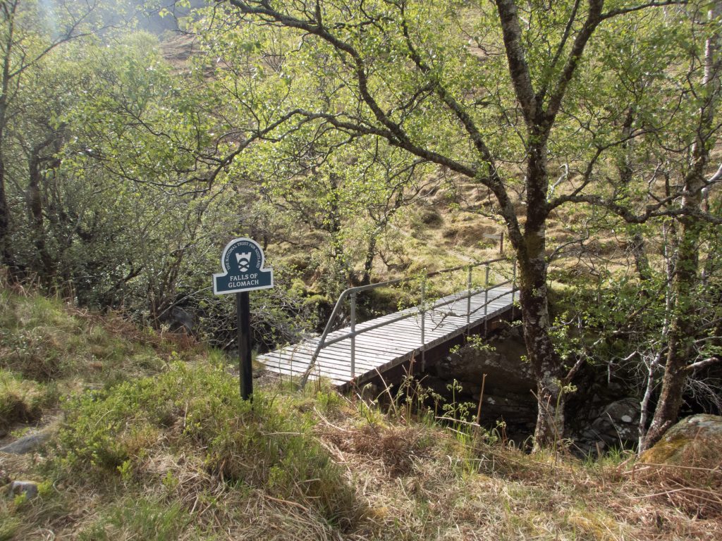
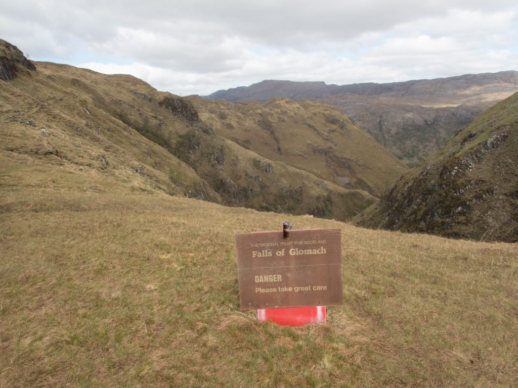
The path by the Falls of Glomach is narrow and high above the river and dramatic with one or two scrambly bits. I was happy that the weather was fine. Following the obvious route I did not come very close to the falls; I learned later that there is a closer approach – probably best taken back from the top without a pack to a viewing point.
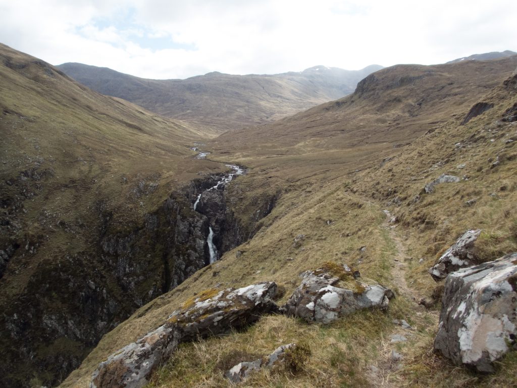
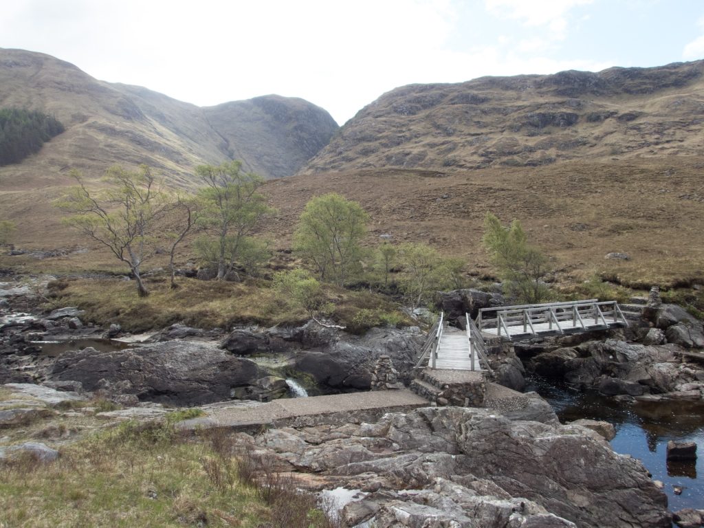
The river was quite low, much lower than on my last visit at the same time last year. Crossing was possible anywhere above the falls, but for a dry passage I moved up further a few hundred metres beyond where the river divided in two. Heading up the ridge I was attracted by about 30 deer that moved in stages up a sloping terrace in front of me. This took me onto Creag Glass.
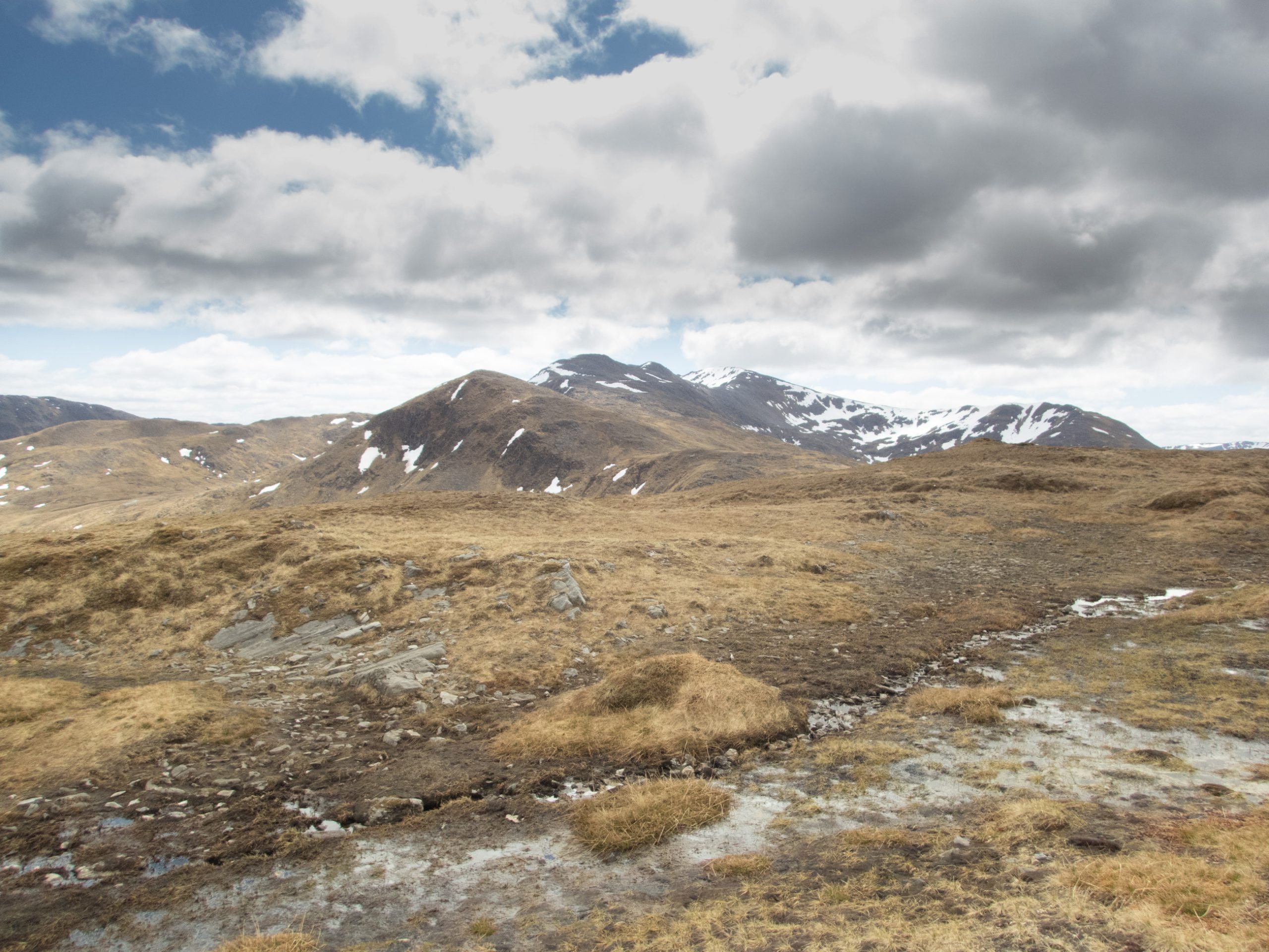
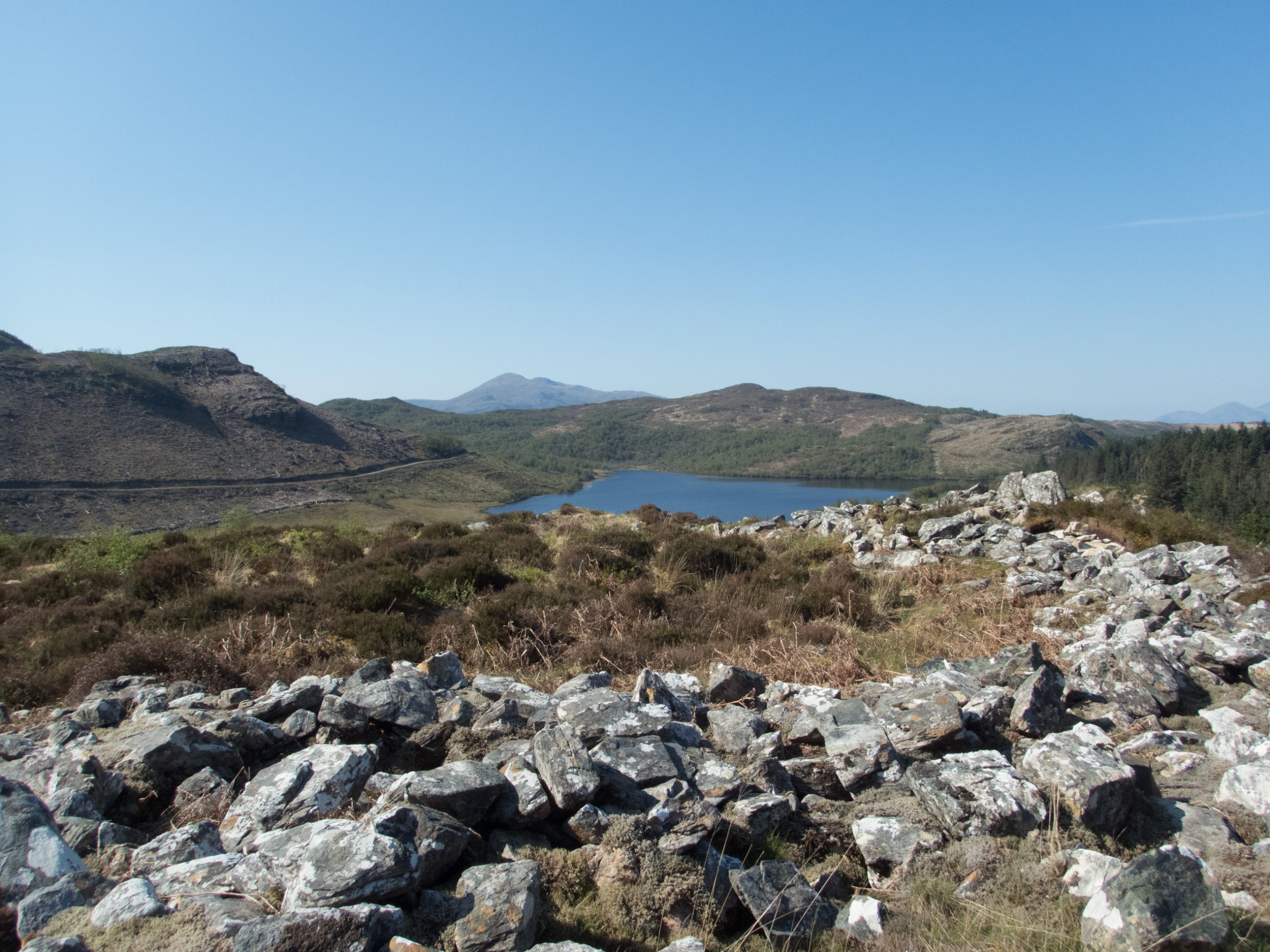
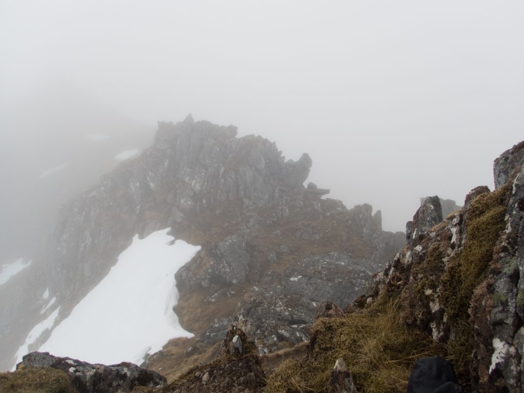
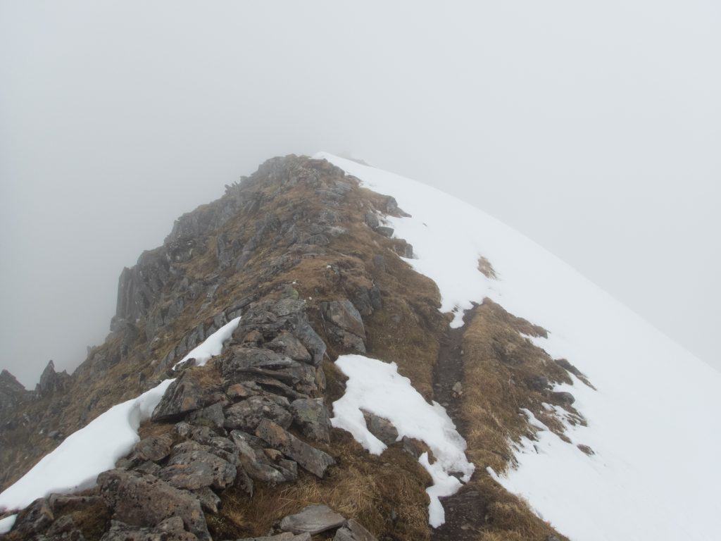
From here the route to the main Glen Affric ridge is straight forward – with the three tops Stuc Fraoch Choire, Stuc Mor, and Stuc Bheag high enough to be Munros, it is only the last Sgurr nan Ceathramhnan which qualifies. At the West Top the direction changes from south to east and the narrow path to the summit is pleasantly airy.
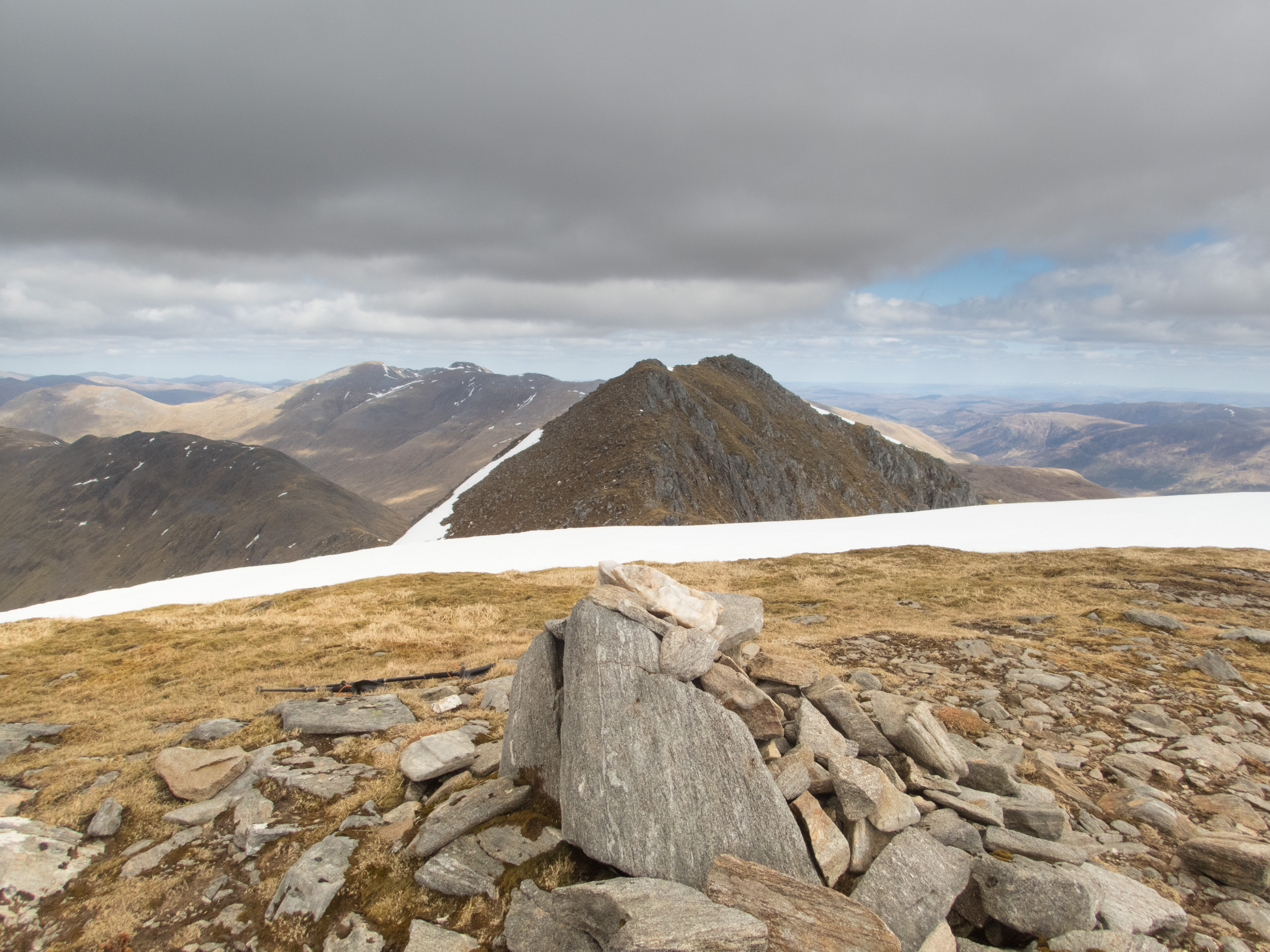
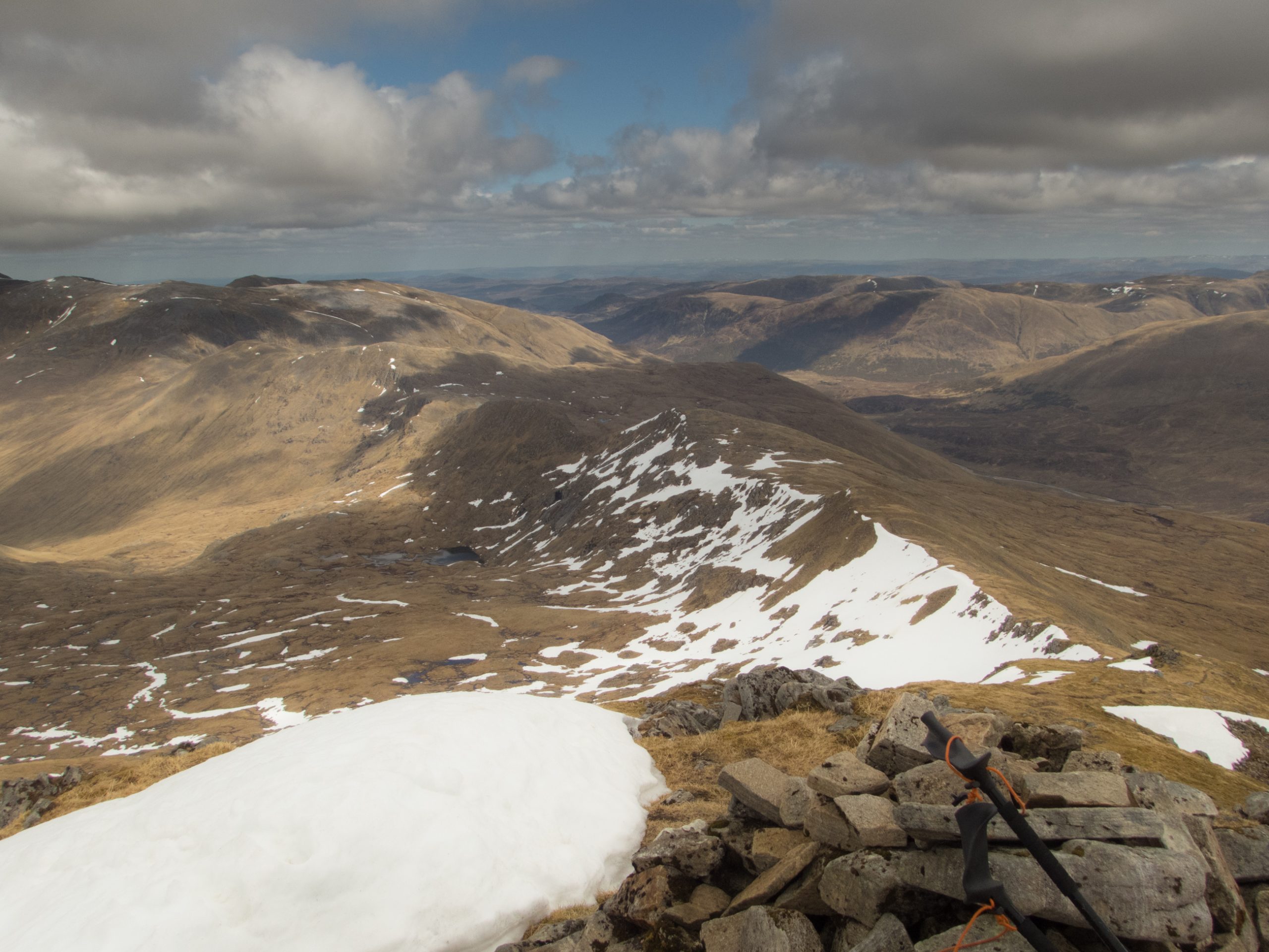

A full 3 km in this direction brings you to the far side of Stob Coire na Cloiche where the path heads down to the Altbeithe youth hostel in the valley below. From studying the map it looked like this was the best place on the ridge to camp. I spent a full hour looking for the ideal spot – in vain – eventually using a small piece of level ground quite close to the top of the ridge. Water possibilities were not attractive – with a few algae covered pools and trickly streams fed by snow melt.
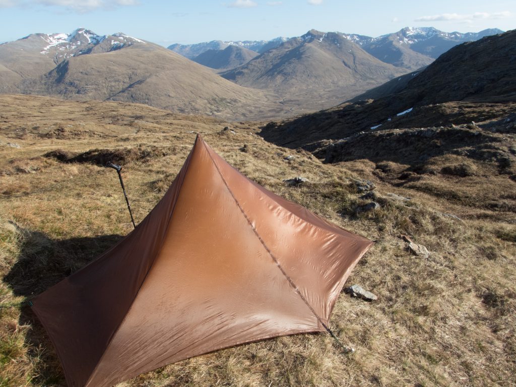
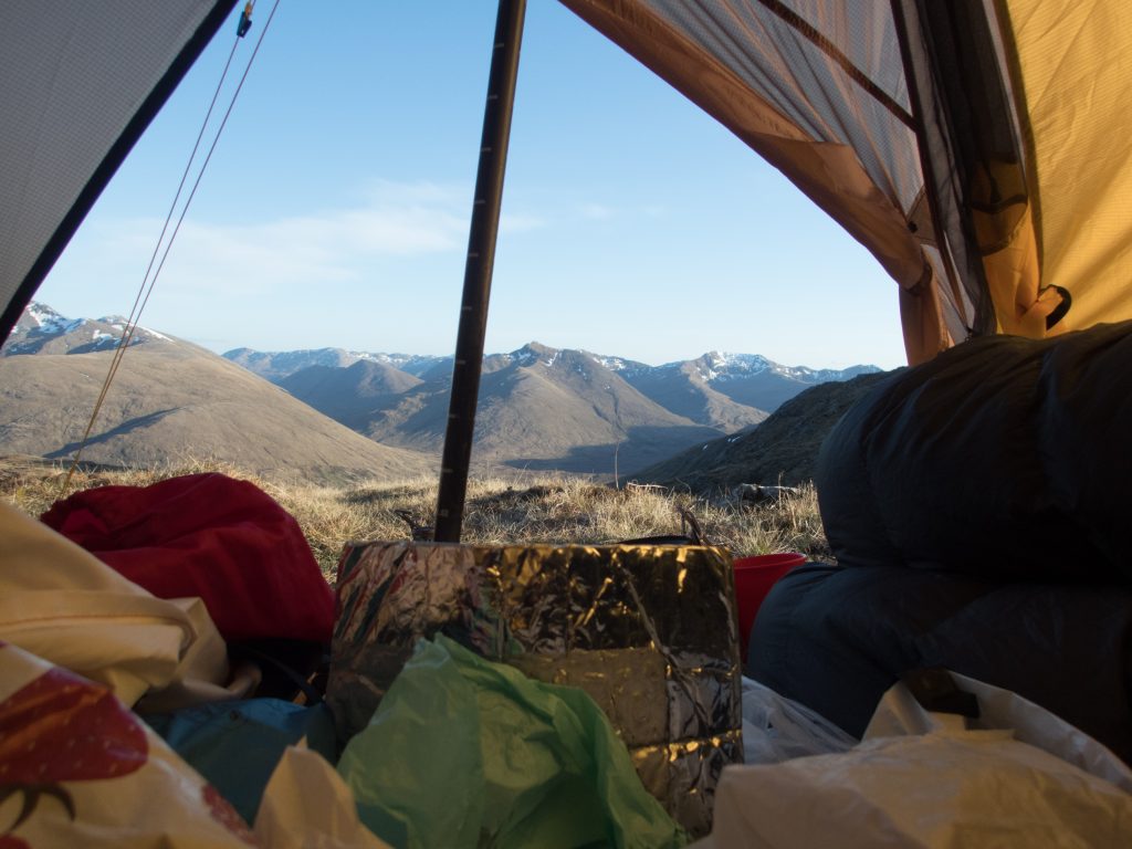
My pitch was small – just the right shape to back my tent into the wind from the north. An hour later this turned 180 degrees and my tent began to flap and inflate and became very cold. With no possibility to change orientation I was nervous about how this might develop – fortunately the wind dropped and I had a quite night.
Download file for GPS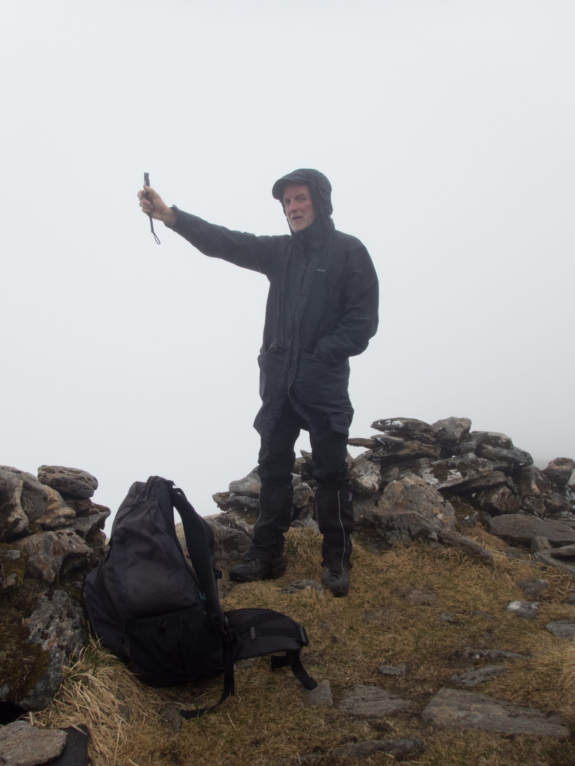
He appeared again out of the mist as I took a sandwich on the top of Carn Eighe. A quick check indicated a temperature of 2-3 deg celsius and a wind speed between 12 and 16 mph. He headed north while I went east following a route that despite the cloud was full of interest with many twists and turns down to Sron Garbh.
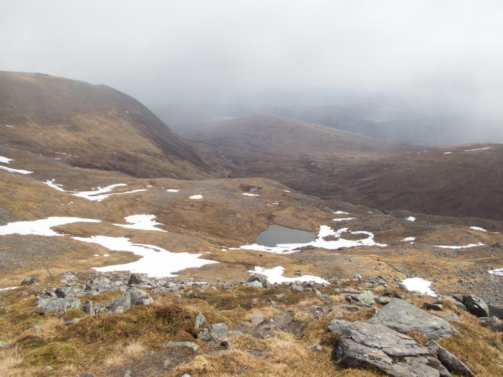
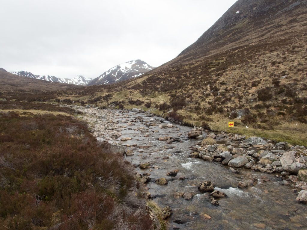
From here a direct route to the river below, circumnavigating snow patches and only in the lower reaches finding the hint of the path marked on the map. The river crossing was highlighted by signs placed by the local mountain rescue team. On the other side there is a well-made track heading over the hill and down to Glen Affric Lodge.
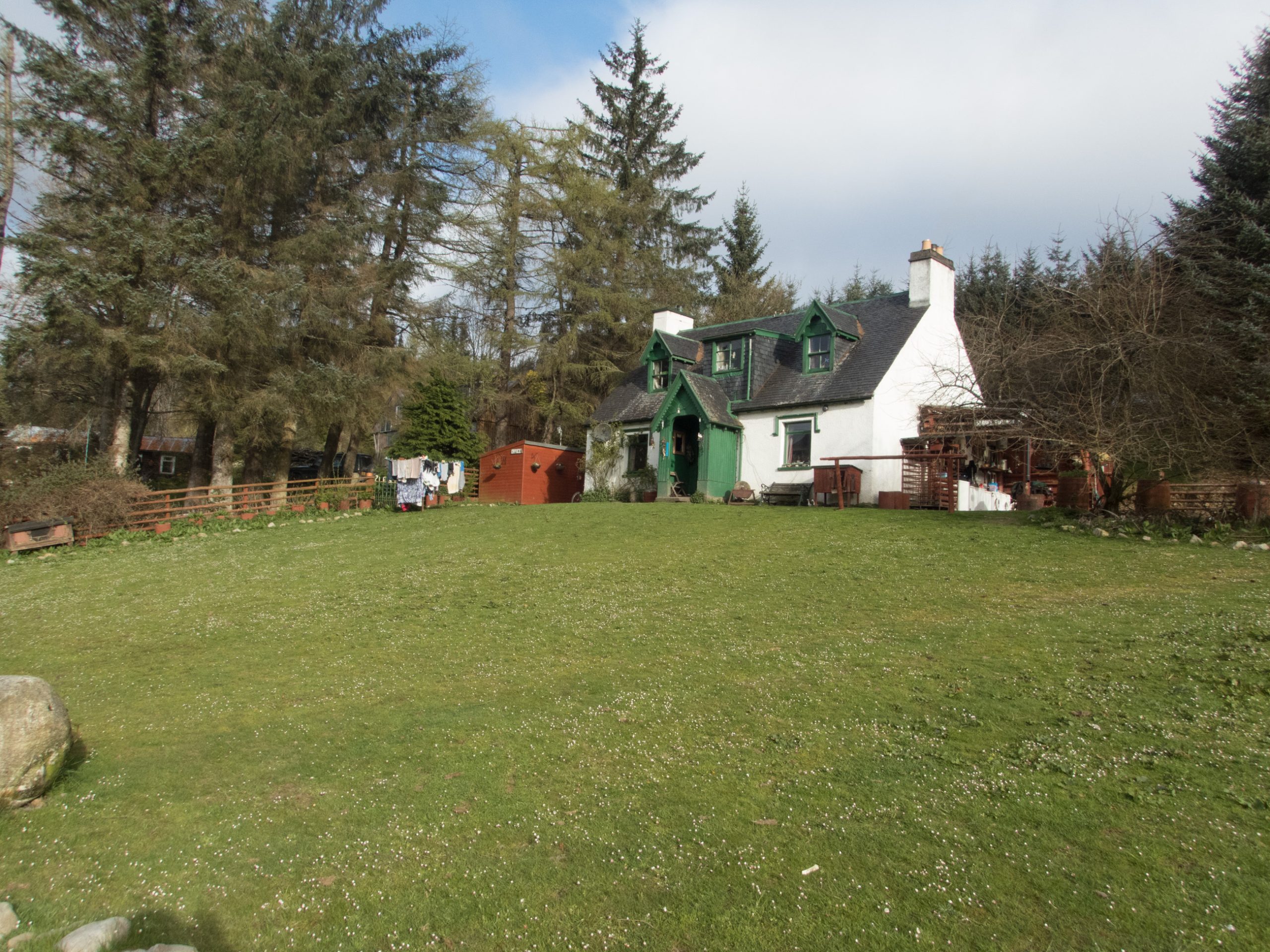
The way to Cougie requires a bit of cross country from the shore of Loch Beinn a’ Mheadhoin to the track which runs past Loch nan Gillean. This is tough going, soft underfoot and subject to a long diatribe by Iain at Cougie who maintains that the west side of the river is firmer ground but because of complaints by walkers the right of way was moved to the east side of the river. As far as I could see there was no path on either side and I was please to pop out of the undergrowth to join Stephen Rouse and Dave Stokes on the track for the last 3 or 4 km to Cougie.
Stephen took B&B at the Lodge while Dave and I camped at the Keepers Cottage. Having ordered a meal I joined the other visitor Brad Williamson at the impressive elm table and collected a resupply package which Iain and Sasha kindly held onto for me. This was Sunday night and some young people were drinking beers by their cars with sound systems blaring out.
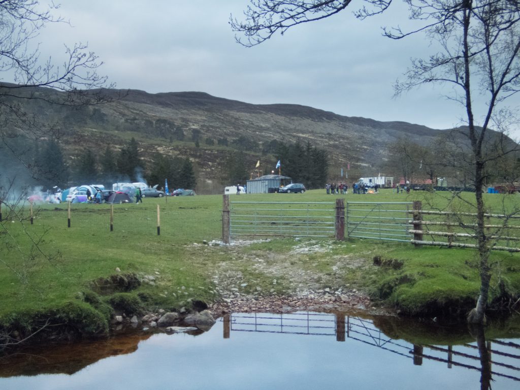
Later, at around 9pm, many cars arrived in the next field, fires were lit, and a band started singing on a stage set up with a sound system. A party started and went on until about 1am. This was a bizarre SNP rally which apparently started in a big way on Friday then moved to the north for Saturday night only to return as we were getting into our sleeping bags on Sunday.
You can see the next episode here!
And, we're off!
🙂
I always enjoy your write-ups and am invariably in awe of your routes!
Thanks Alan – of course the routes are always informed by the long-termers like your good self! I'm wondering about the Cape Wrath trail for next year – to avoid that flat bit at the end of the TGOC. What do you think? Have you been up there>
I did the CWT as part of my LEJOG in 2007 (you can find it on my blog) and adored it. The further north you go the more spectacular it becomes.
There are some long stretches without resupply (well, there was on the route I took, which was from "North to the Cape") but I would do it again like a shot.
Look on my blog for the label "The Cape Wrath Trail"