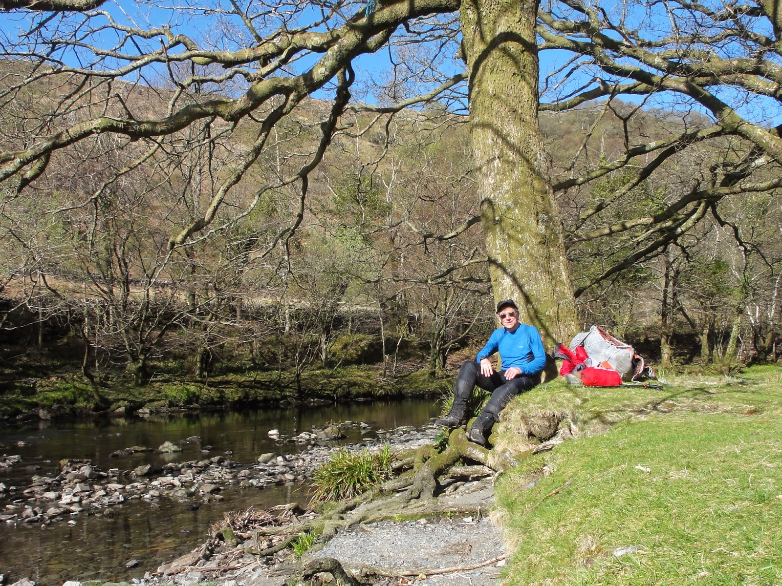
Easter week brought fine weather – blue skies and sunshine. I dashed to North Wales for my first expedition of the year and the last before I move to Scotland for the TGOC.
This was a chance to test equipment and review fitness. North Wales is a popular destination at school holiday time, but more by luck than planning I avoided the crowds and in 3 days walking spent many hours without seeing a soul.
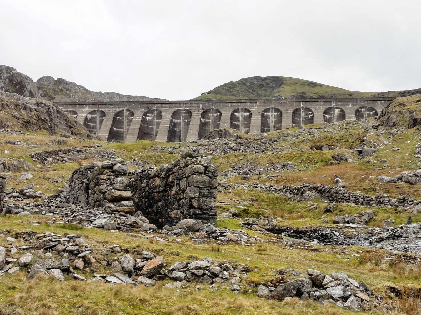
Blaenau Ffestiniog is at the eastern boundary of the mountain area of the Snowdonia National Park. In every direction the slopes above the town are marked by the jagged grey slate which has be quarried here since the 1750s.
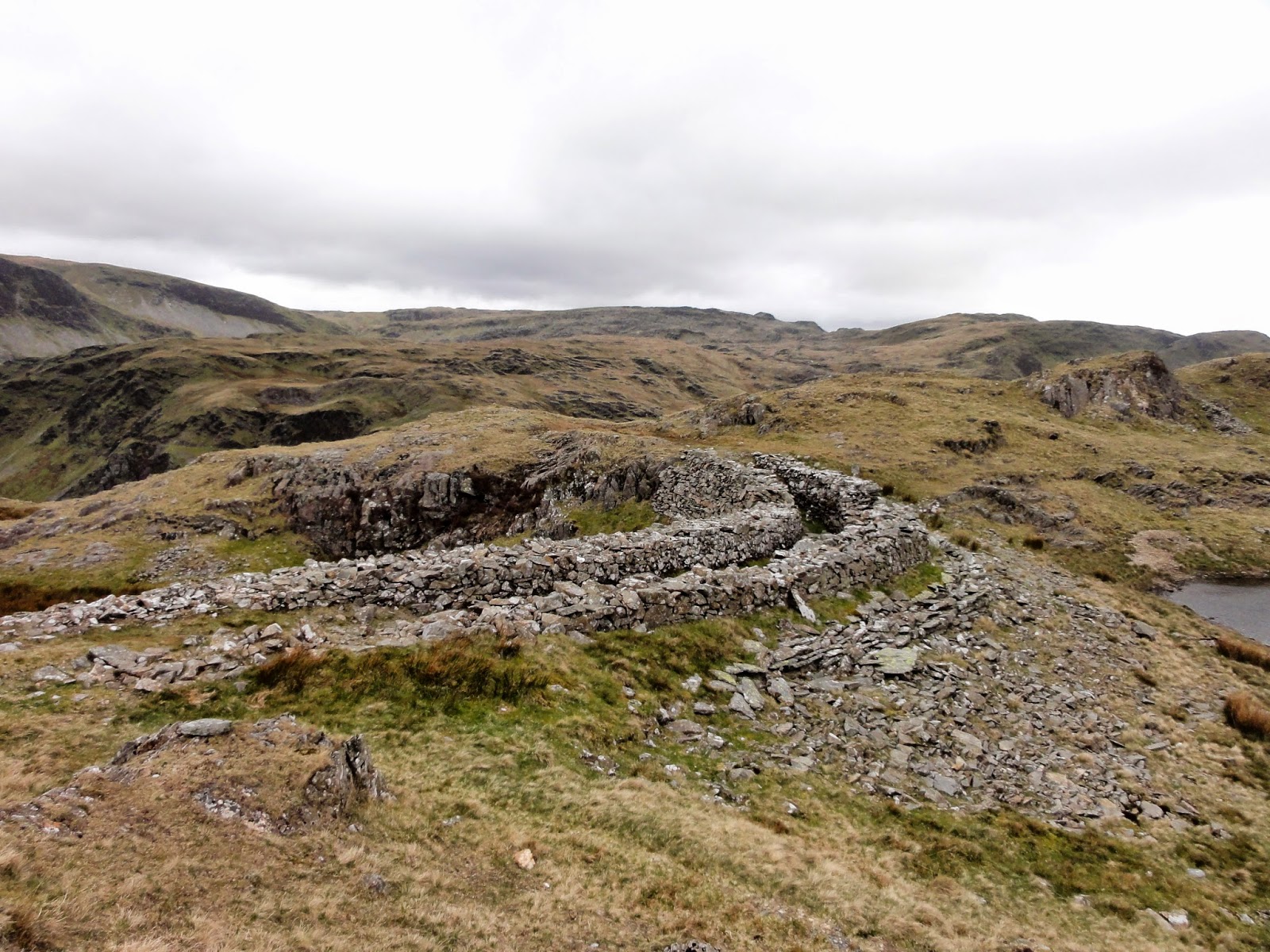
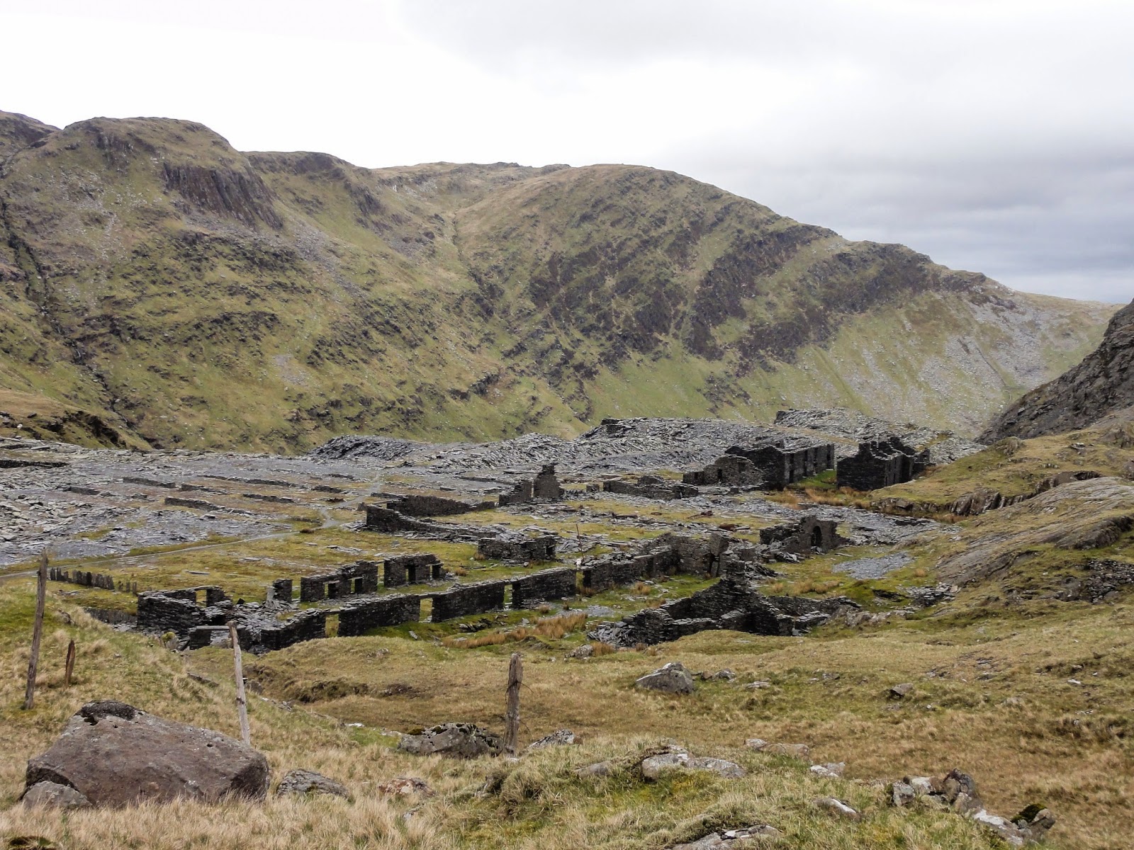
History has sculpted the hills with heaps of spoil from the mines, and with curious shapes buried beneath the grass where old equipment and structures have been abandoned. Grey buildings part dismantled dot the landscape without path or access road.
Download file for GPSThe twin tops of Moelwyn Bach and Moelwyn Mawr rise up above the town. Having arrived in the middle of the day I arranged with the local cafe to leave the car in their carpark.
A path leads up to the small reservoir above the town. From here I skirted south and scrambled up on Moelwyn Bach. I missed the route down towards Moelwyn Mawr by being too far to the west leading to an uncomfortable scramble. The main path descends on the side closest to Blaenau (seen on the picture below).
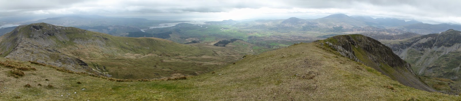
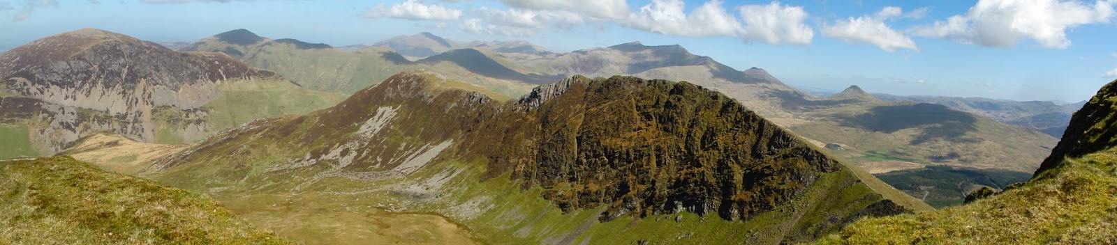
Moelwyn Mawr provides dramatic views westwards towards the Snowdon range with the sea around Porth Madog to the south. In the forground is a vast pathless area with many remnants of the mining past. Traversing across here in good weather, navigating by sight, diverting to structures of interest – hours without a person in sight is a joy.
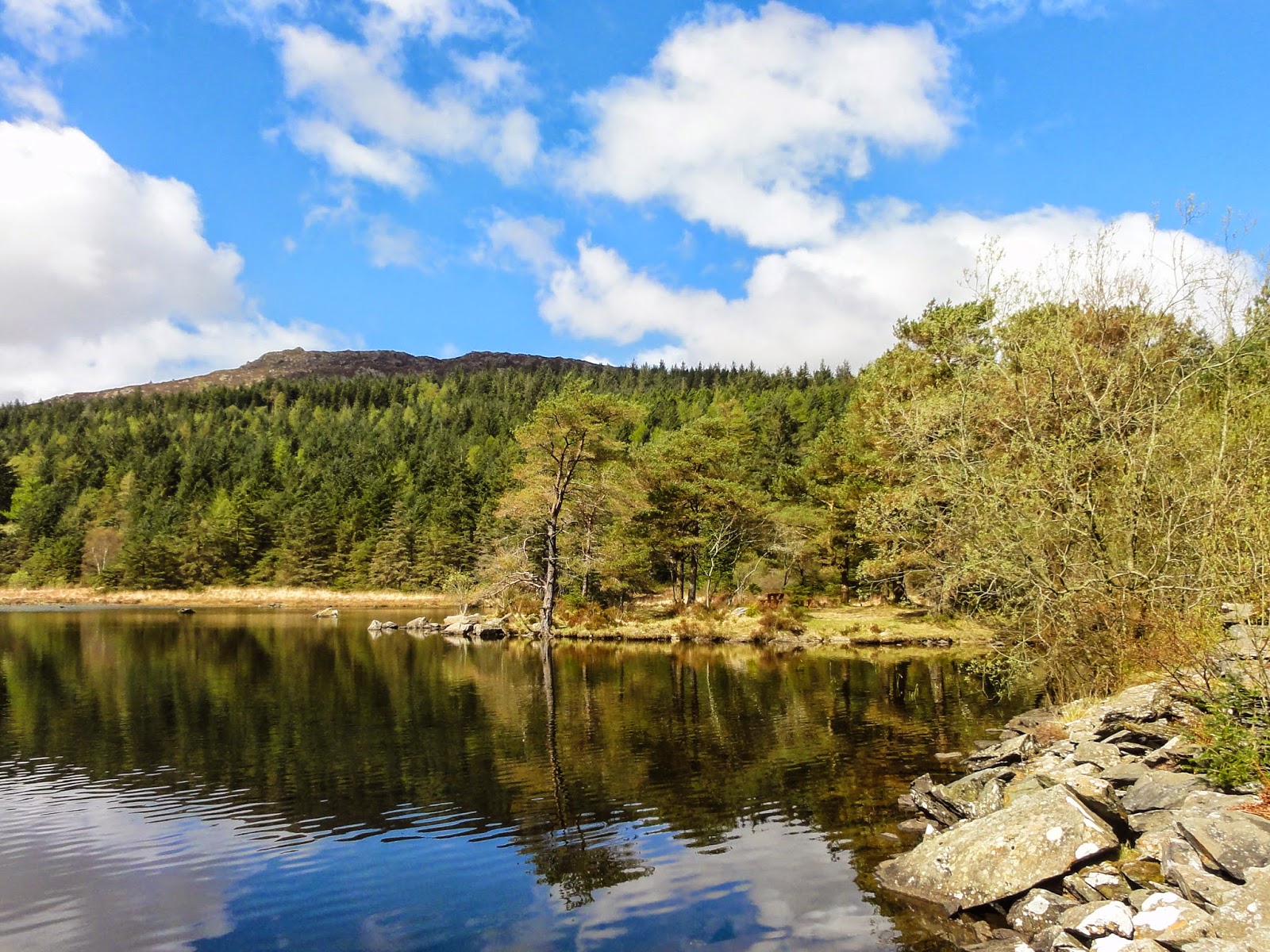
This is a favourite small mountain. For years I’ve intended to camp near the water on the west side with views across to the sea in the south. For the first time in many trips I spied two tents beside the small lake below.
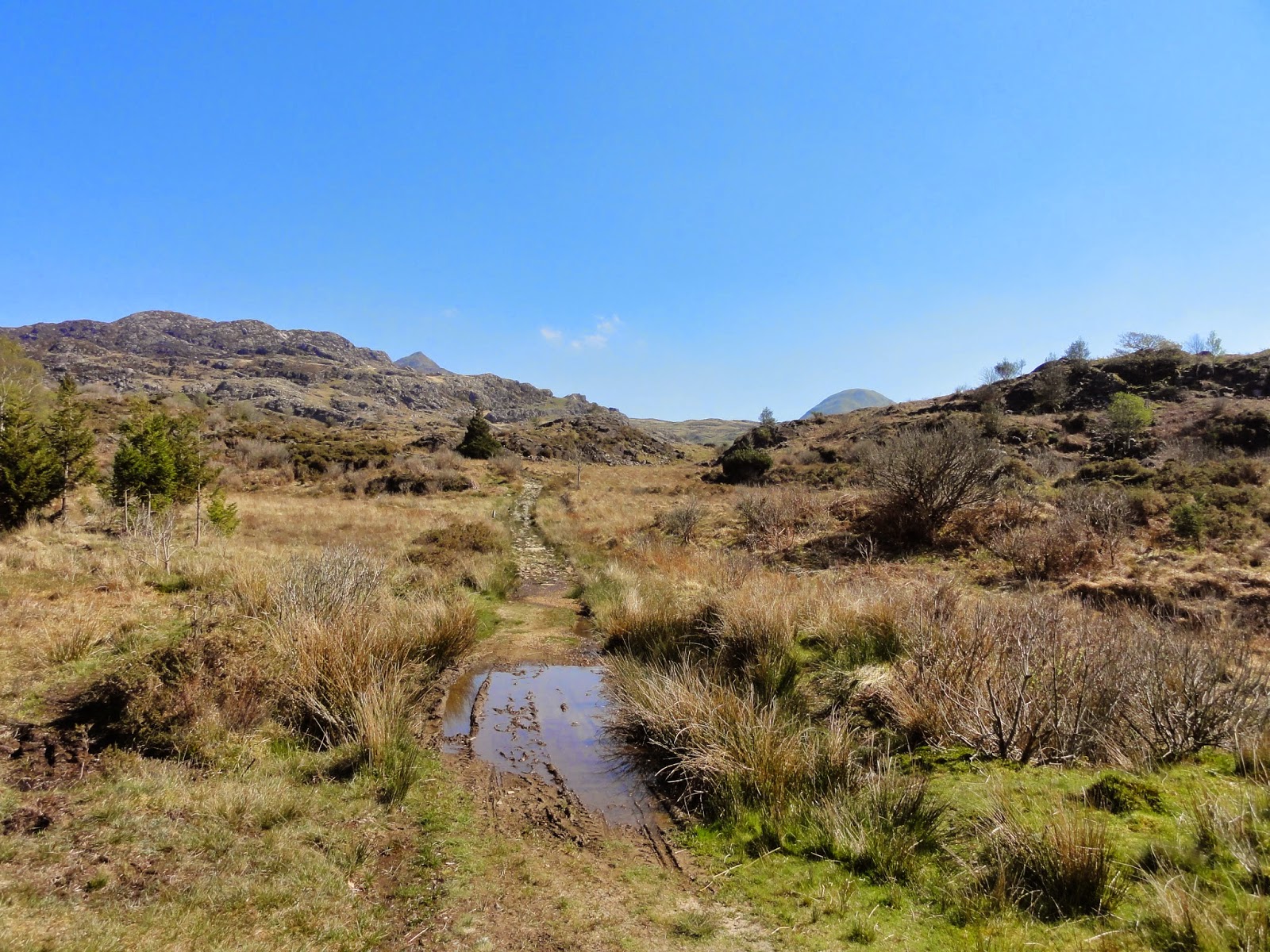
The next morning I headed south on a good path to Croesor. From here an old paved route heads west to the Nantmor road. From the bridge at Nantmor a rough path follows the Aberglaslyn gorge across the river from the A498 to join a pleasant paved river side path leading to Beddgelert.
02 in here
Suddenly there are lots of people. Tea rooms. Cars.
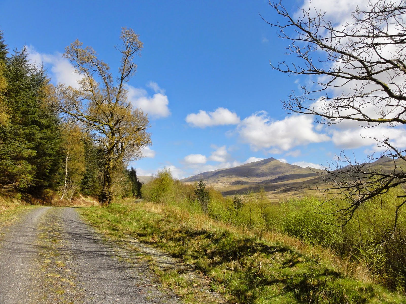
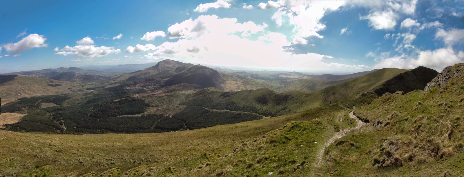
A short way out of the town a track leads towards the forest. This extensive plantation is has many tracks, some paved for biking, others reserved for walkers. As plantation walking goes this is not too bad and by following one path, then another is it possible to reach the end of the ridge that dominates the skyline to the West.
After emerging from the northern edge of the forest a path traverses the hillside to reach the end of the ridge shown as Y Garn on the map (there are several places with this name in the area). A short haul up and we’re in mountain area again.
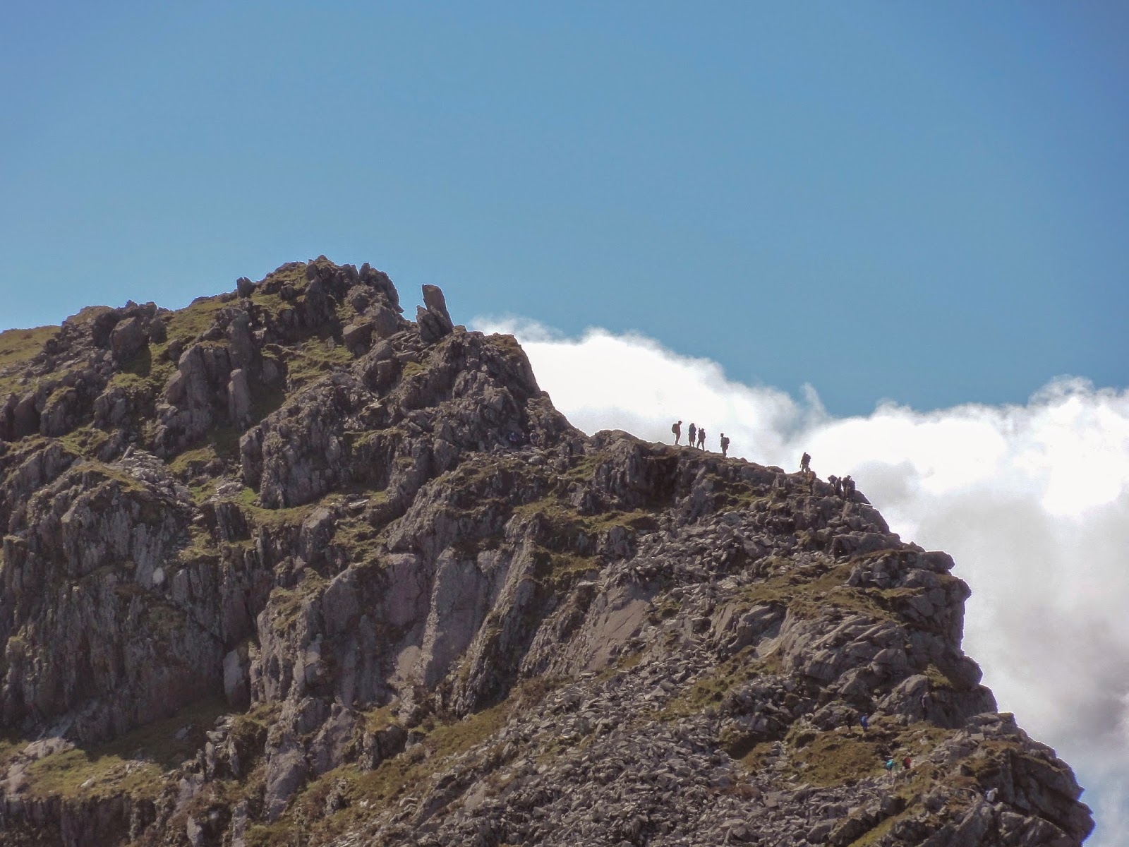
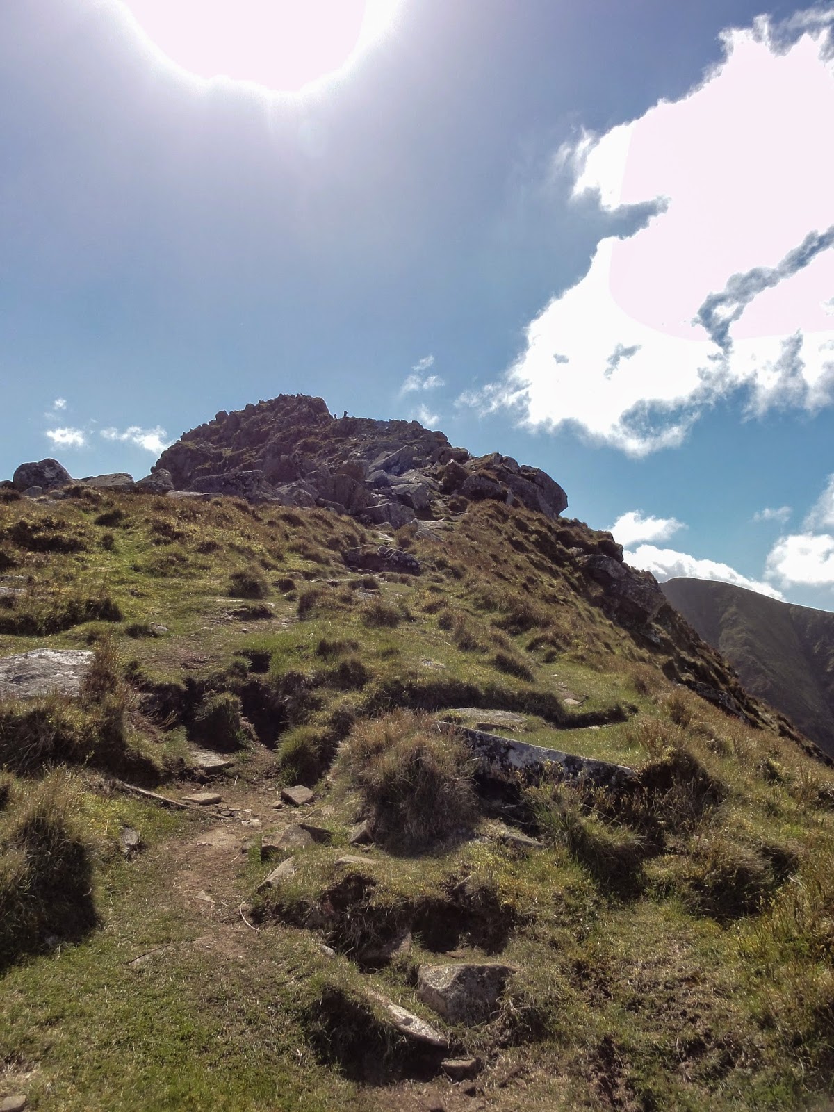
This striking ridge demand a bit of a scramble. Remarkably, after the Beddgelert tea rooms this was the most busy part of my trip. ‘Like a motorway’ complained one runner with a dog in tow.
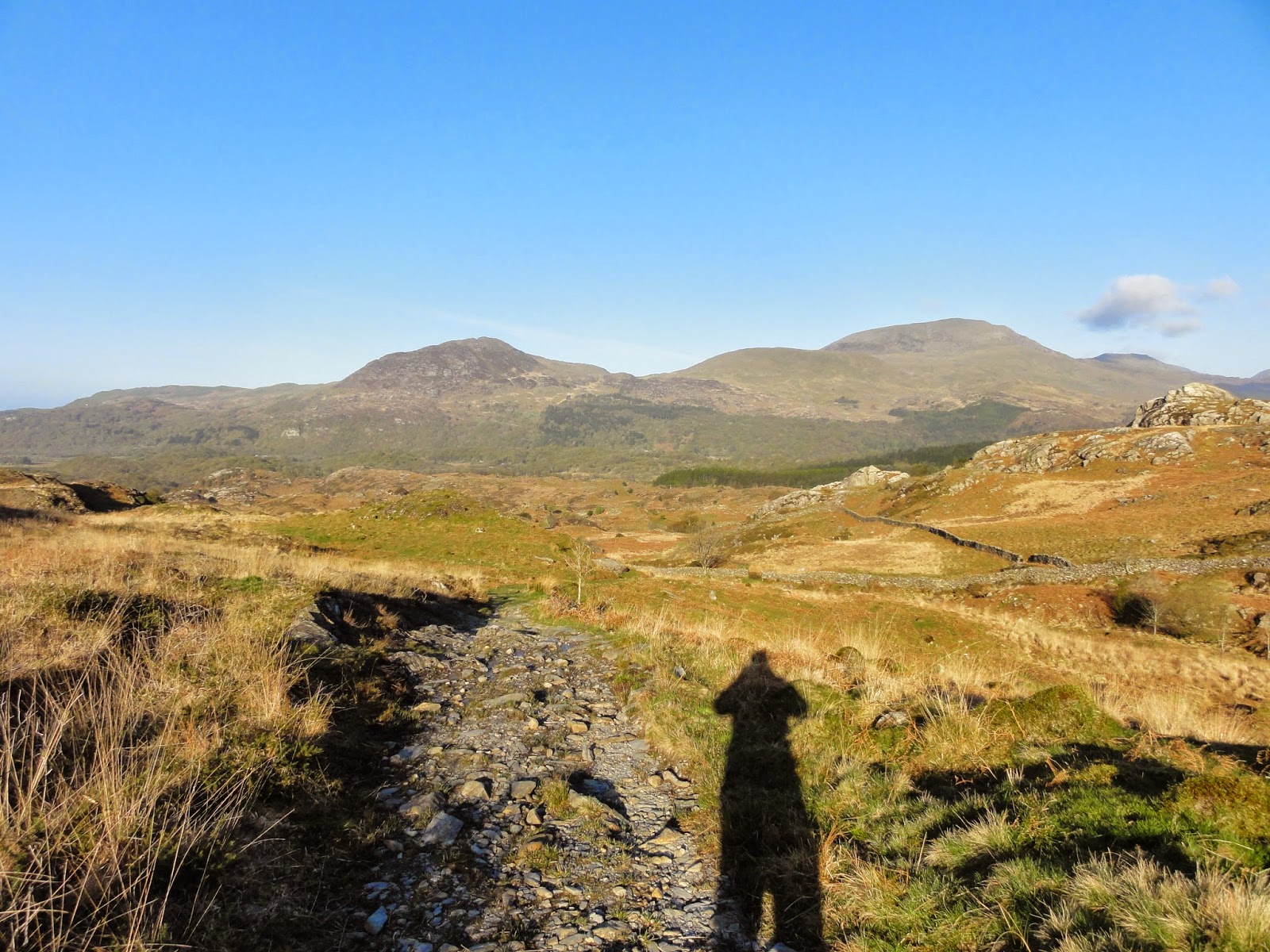
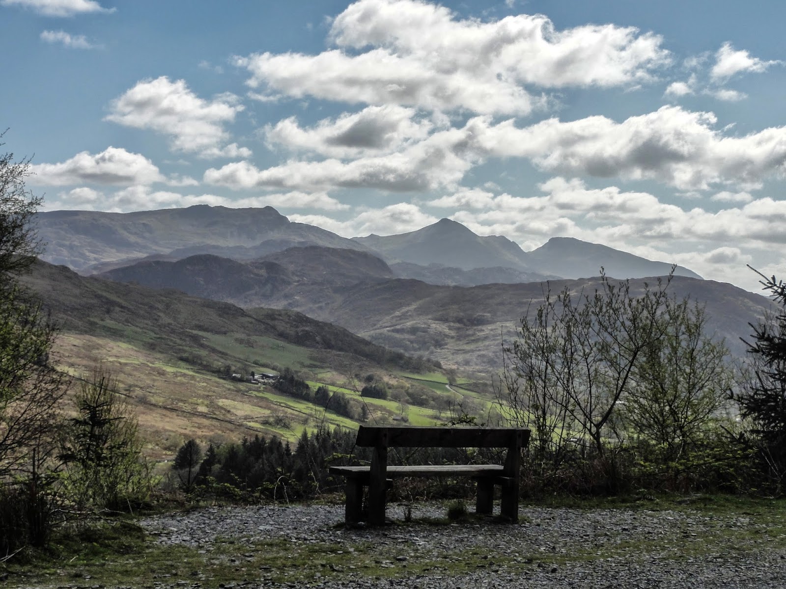
The picture above looks all the way back to the mountains above Blaenau to the left. The forest tracks below are busy with a few holidaymakers but even on this beautiful Easter Friday the route towards Moel Hebog is almost deserted.
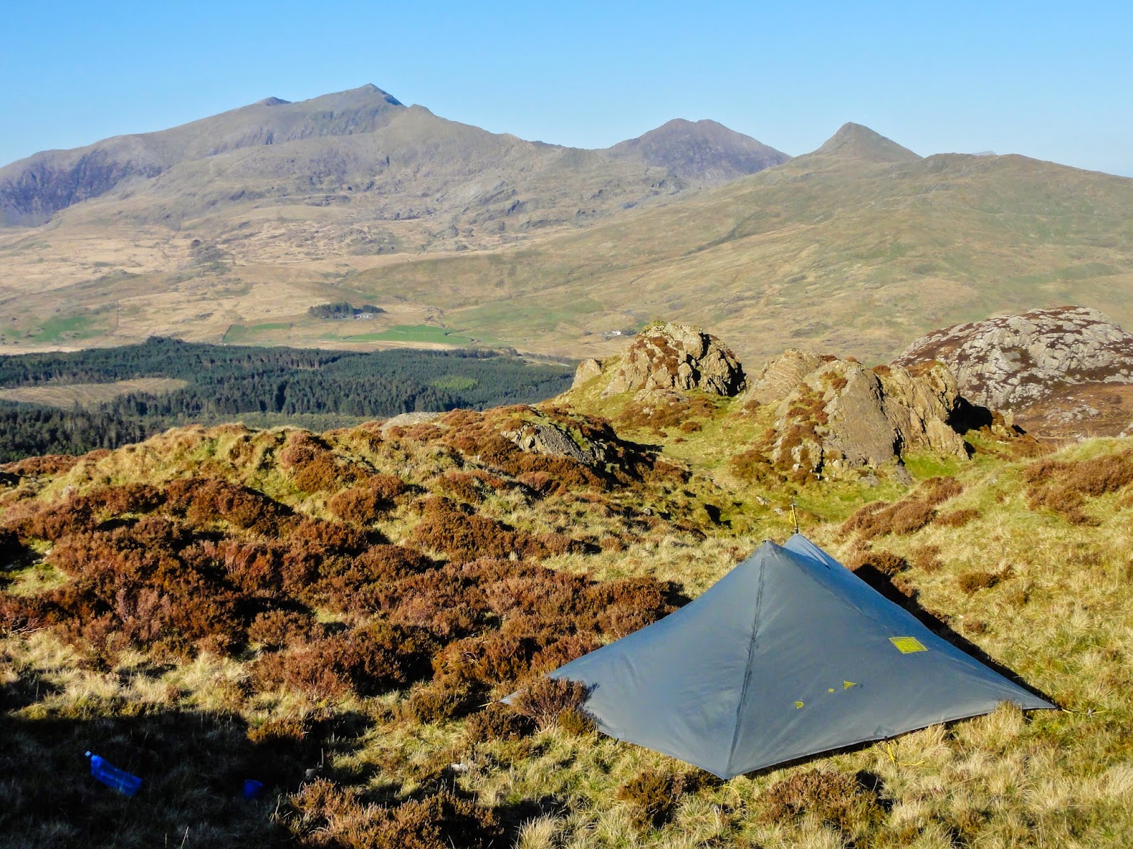
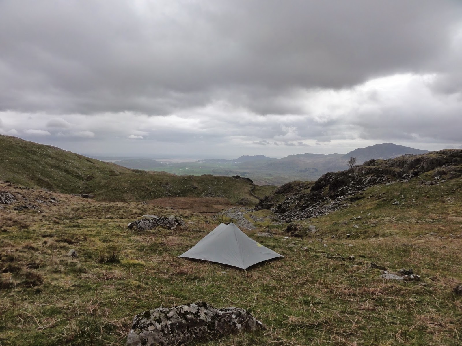
The ridge is not a great place to find water, but with a bit of planning it can make a good camping spot. As is often the case with trailstar camping in the UK I shared my tent with some clumps of heather.
On Day 3 I could follow my nose back eastwards to Blaenau.
03 in here
For a spontaneous trip this worked well. The distances felt long, although in reality they were not ambitious. But recovery was quick which means my level of fitness is adequate for the Scotland next week, although my planned distances will need to be cut on the first few days. Weather conditions in Wales were ideal, and this is unlikely for the whole of a traverse of Scotland.
The gear was fine, although not tested by heavy rain – that has been done before for all but my boots. I need to make some small modifications to my pack if I can. The Ospey EXOS 45 has a large frame which often slips from my hips so I hope to shorten the hip belt.
Unfortunately cannot convert the above classic block to ‘blocks’ so cannot insert maps below in original place.
Download file for GPS
Download file for GPS