The plan was explained here. Target was to complete last week. Result – the plan remains a dream waiting for better weather.
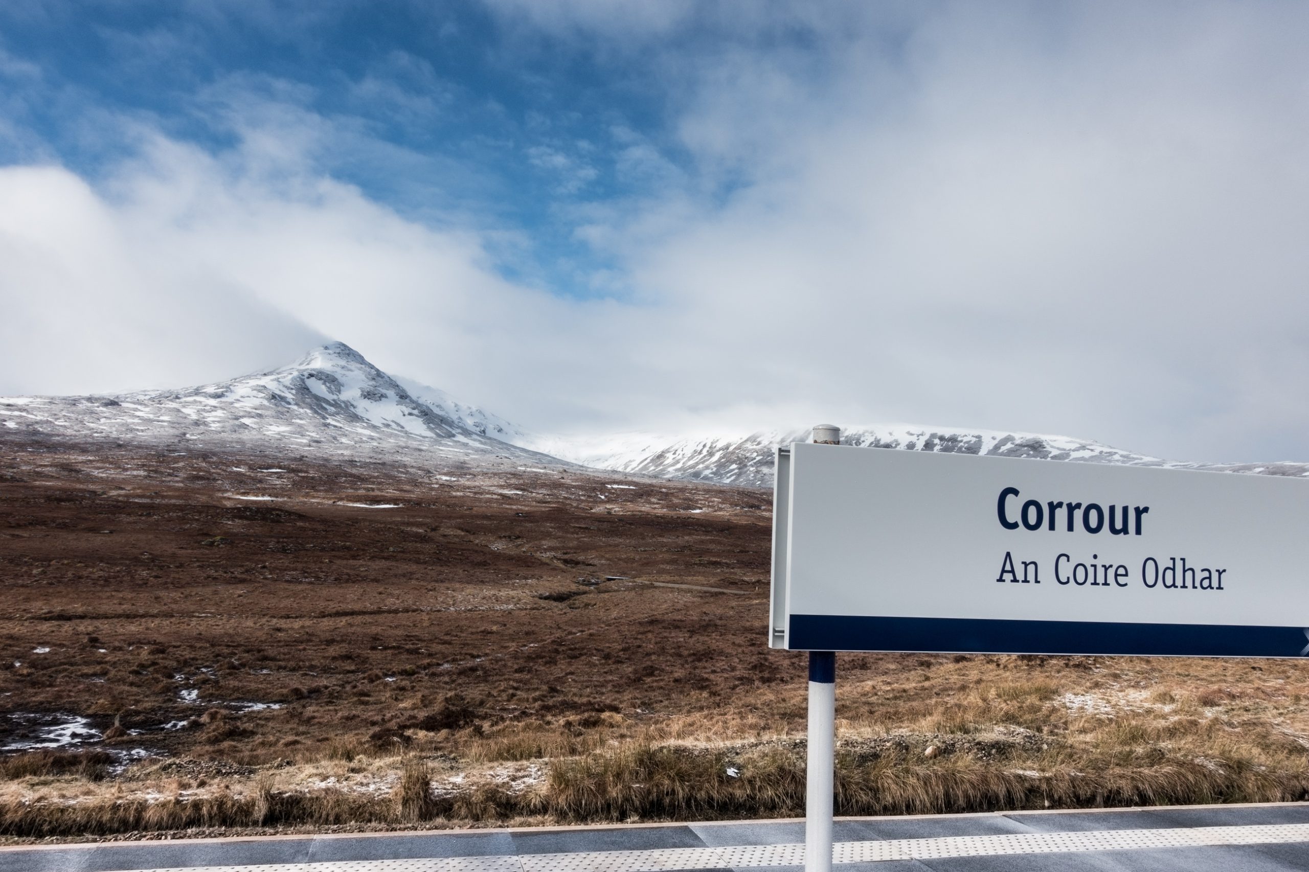
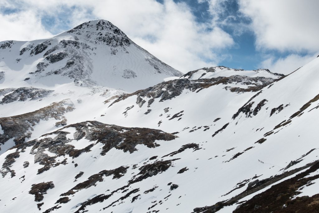
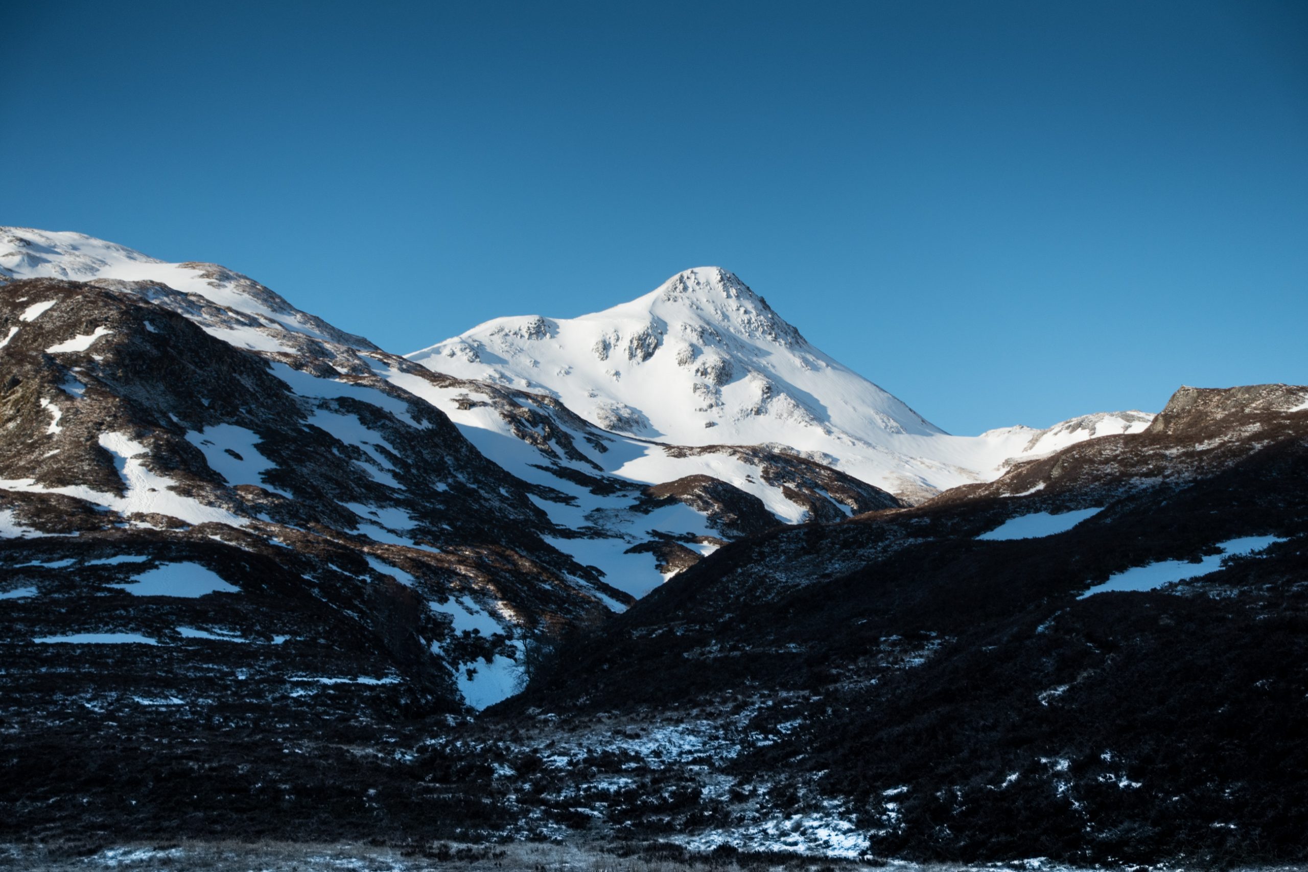
Corrour station is the highest point on the line – at 400m. The night train from London arrives at 9am. The sun was shining on the snowy tops.
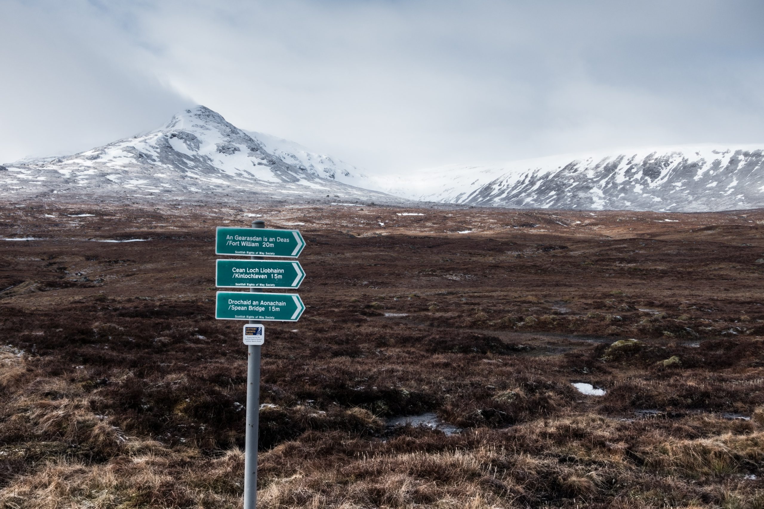
The path down to Loch Treig was mostly good. The peace interrupted by the building of a dam on a seemingly insignificant stream that follows the slope down to the water.
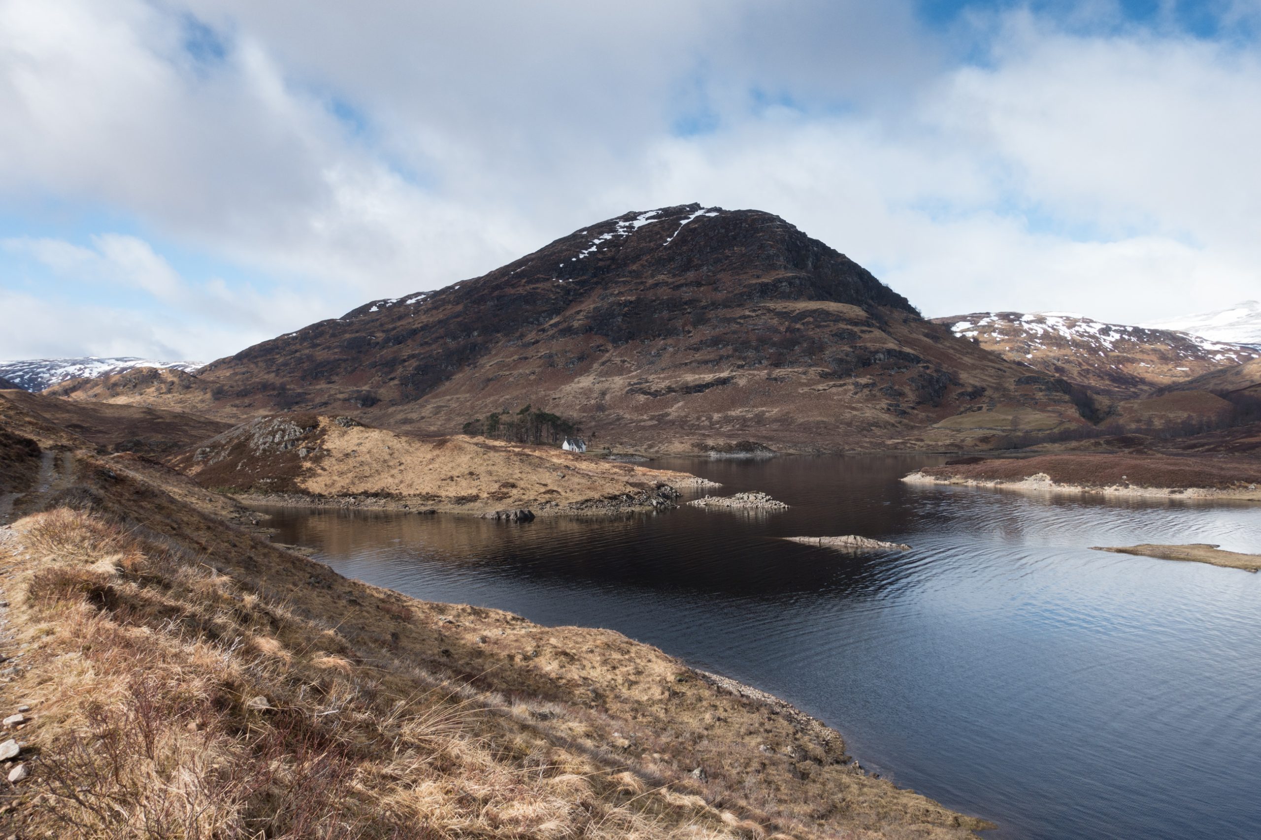
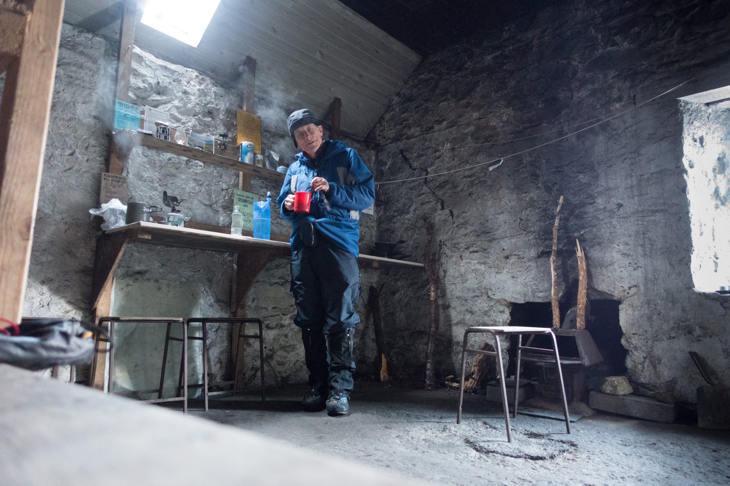
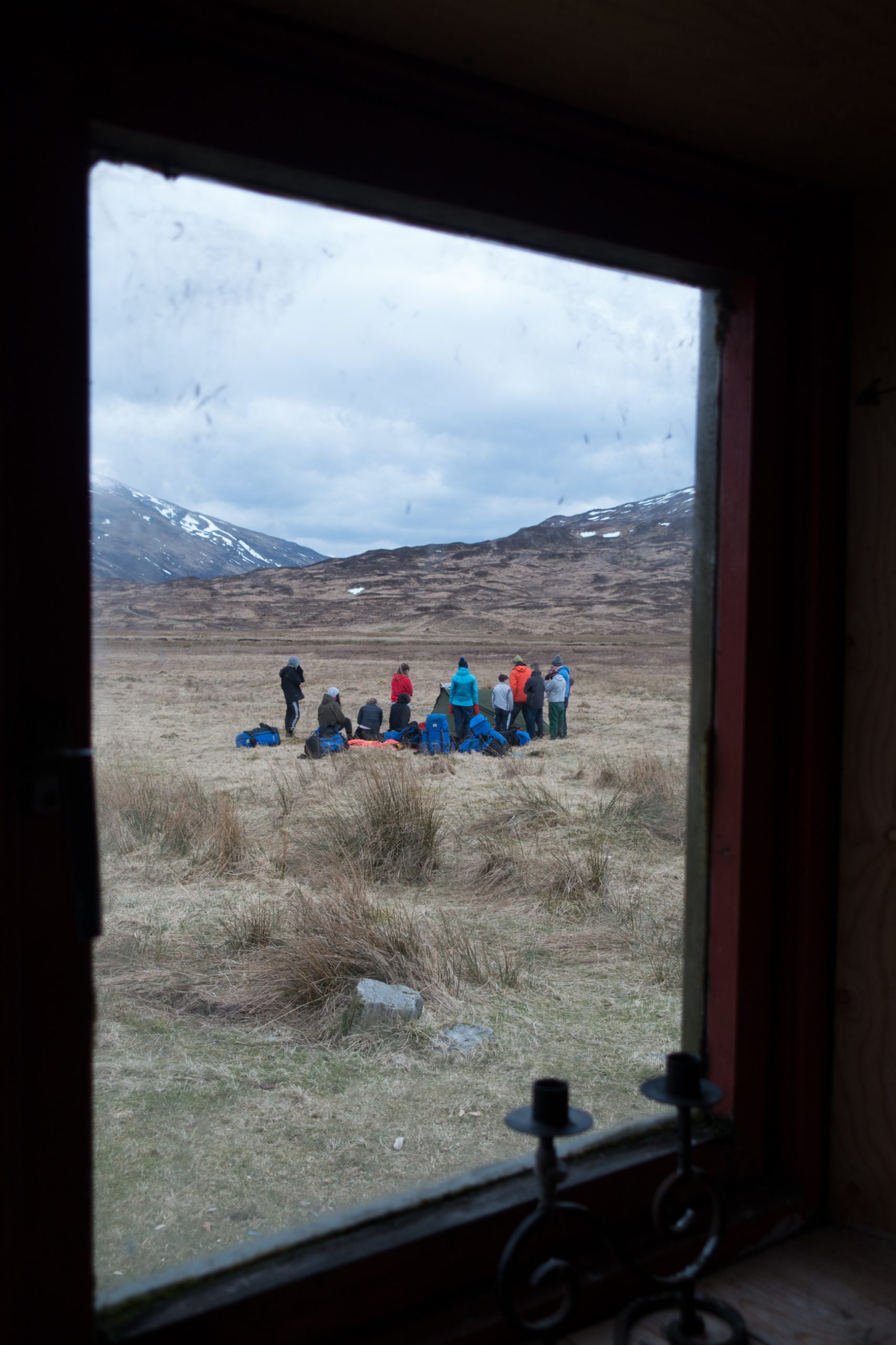
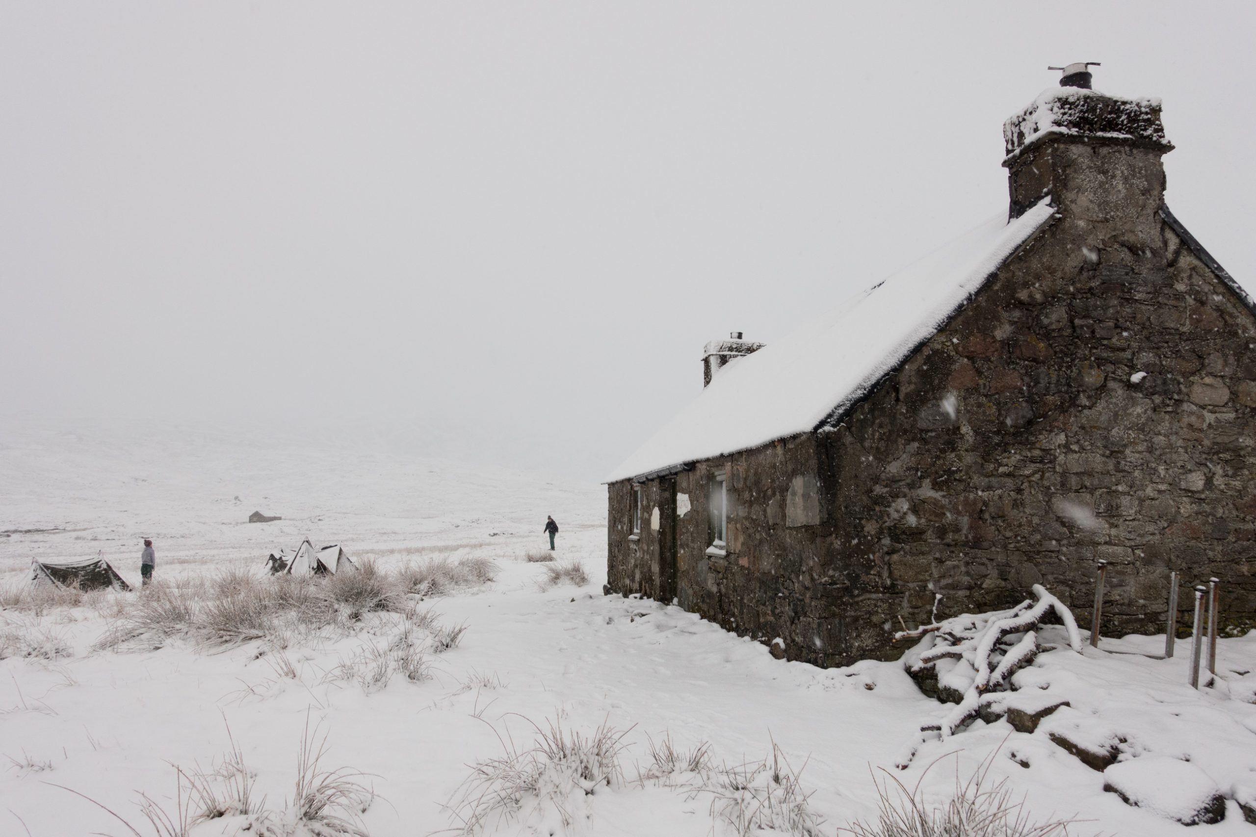
The abandoned house at the top of the loch provided a good site for a tent or two. In place was a long-term camper (‘been camping for 7 years – I come here every spring time!’) and his two tents 7 mousetraps and washing line.
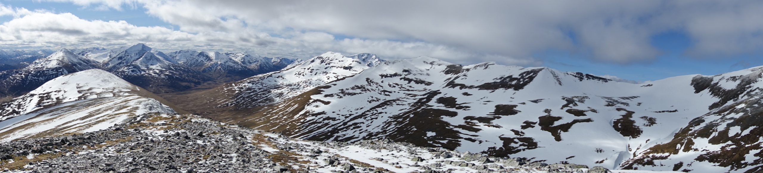
I crossed the river to the north, then headed along the valley looking for somewhere to leave my pack. In the end I decided to carry it up with me, but by then I’d travelled a few hundred metres further on than planned. This gave me access to the Easain ridge and not the lower route towards the next top Mheadhoin. When I realised my mistake I was already at around 750m and I was reluctant to backtrack down to take the two tops by a anti-clockwise route. At this level there was snow and ice on the ground, and a little higher I was climbing through cloud to reach the top.
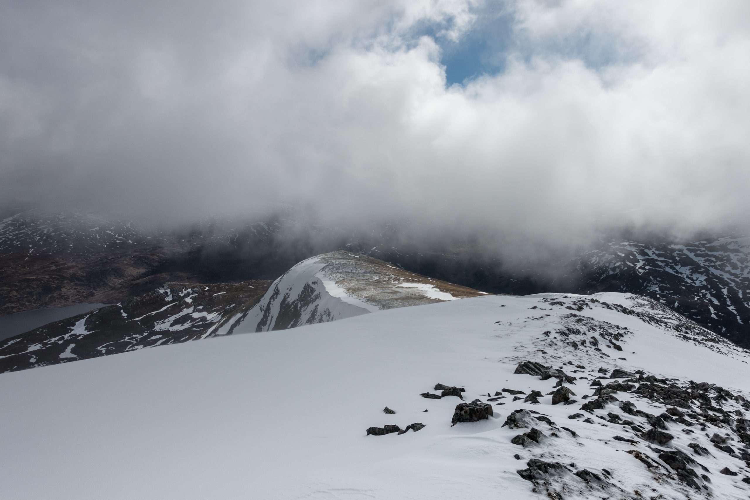
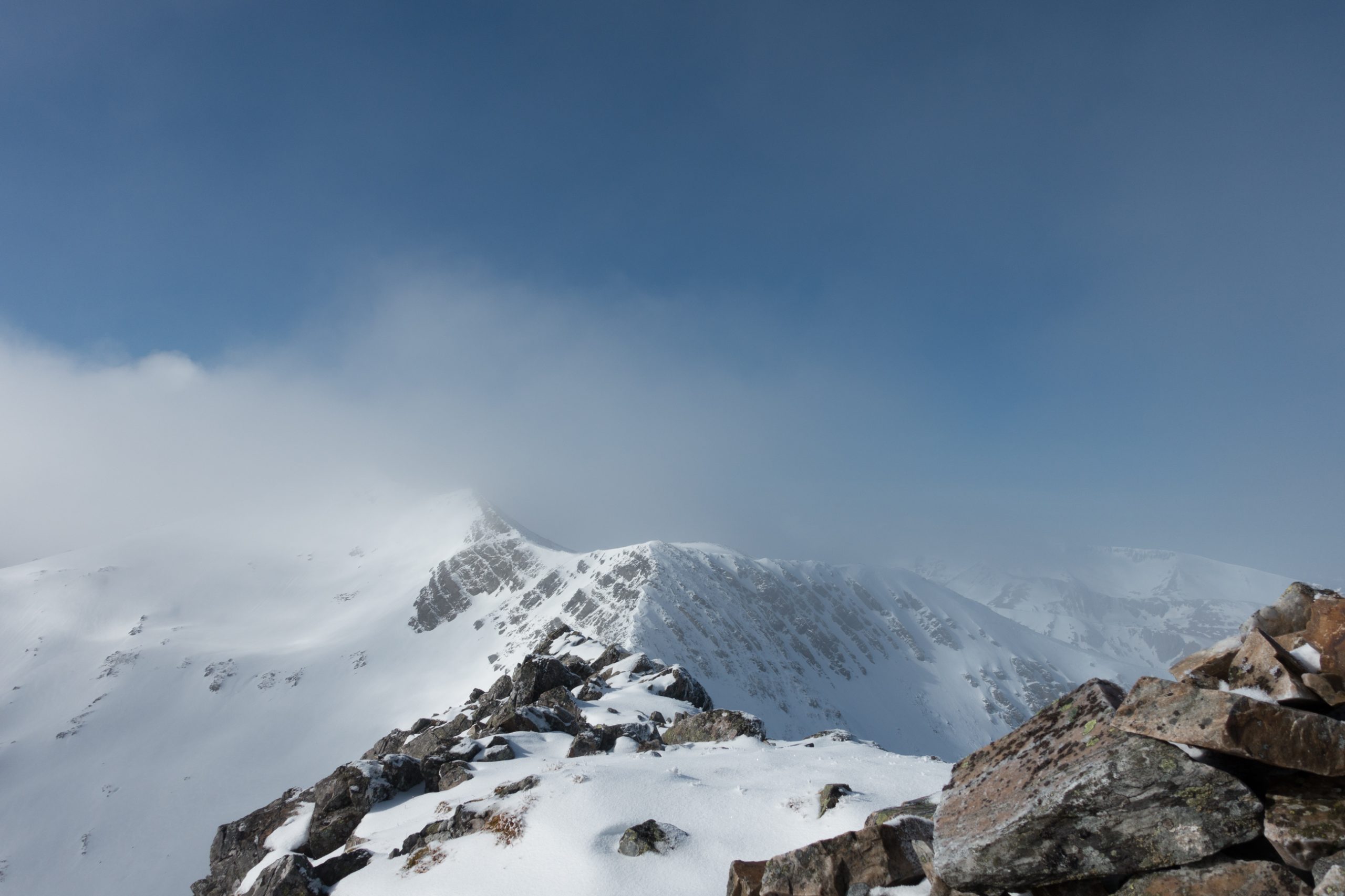
Through the swirling cloud the route to the next top Stob a’ Choire Mheadhoin seemed steep and corniced. I turned about and retraced my steps, and soon below the cloud base the vista to the south opened up again.
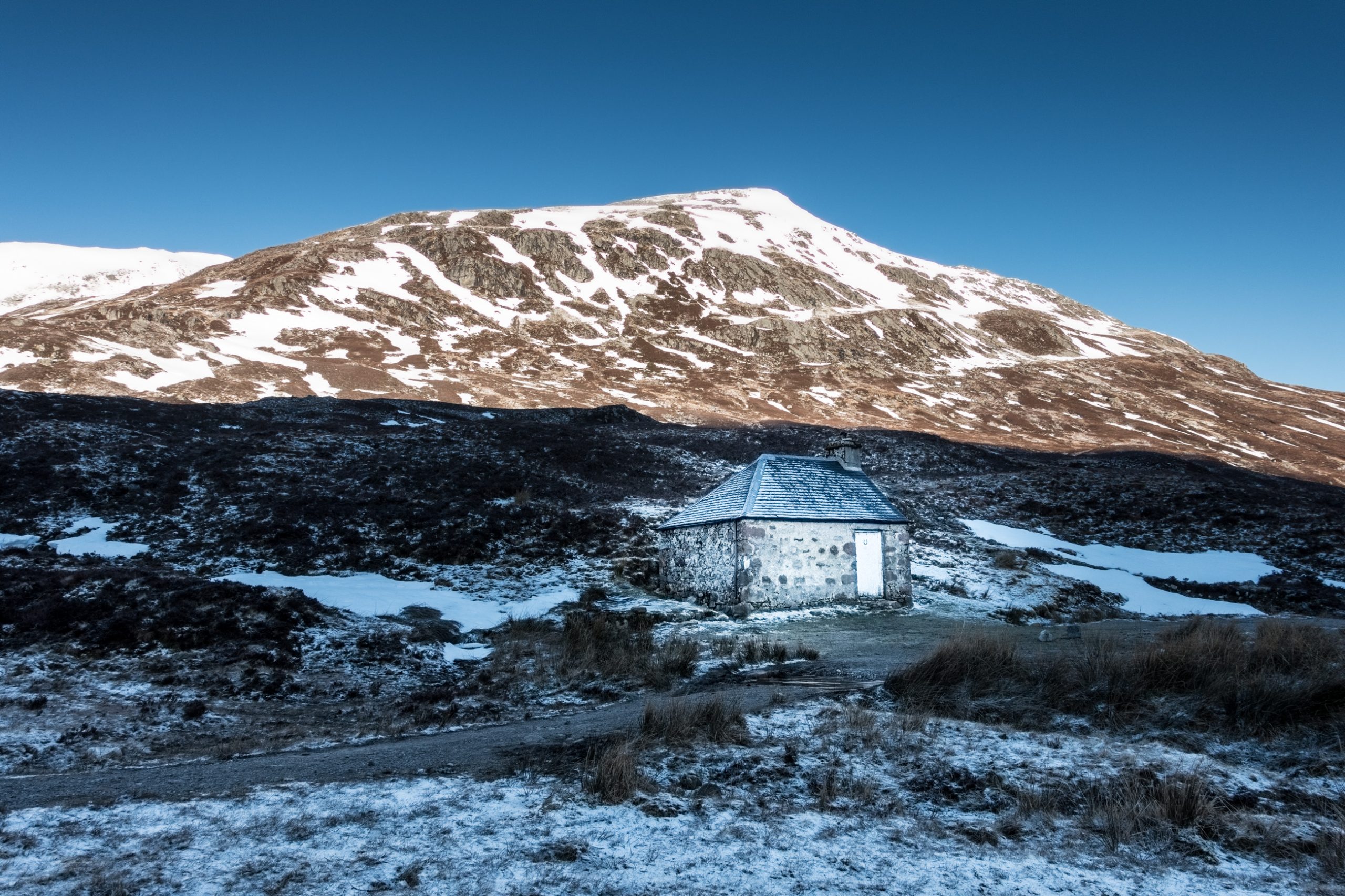
A tramp of a few km up the valley bottom to the watershed brings access to the bothy at Lairig Leacach. This small stone room feels cold and dark, but a sleep here saves the trouble of pitching a tent.
The morning brought a cloudless blue sky looking down on glistening white snow. I followed the planned route disturbing first one lone stag then another on my way up Stob Coire na Ceannain and the easternmost end of the Grey Corries ridge.
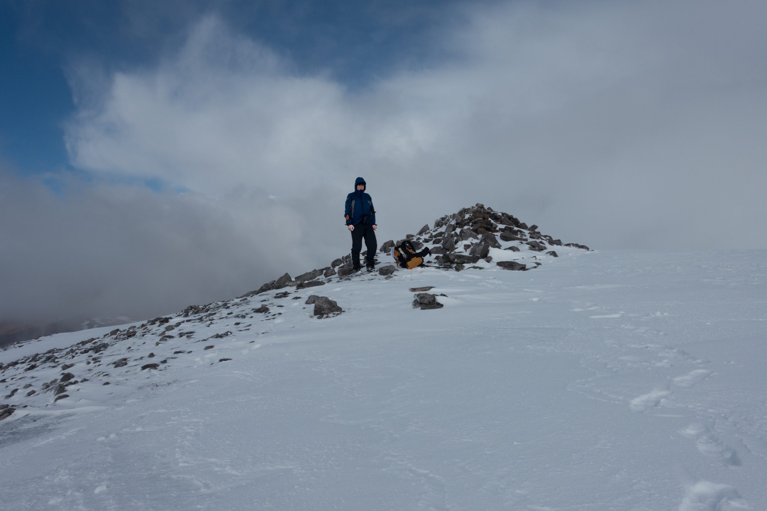
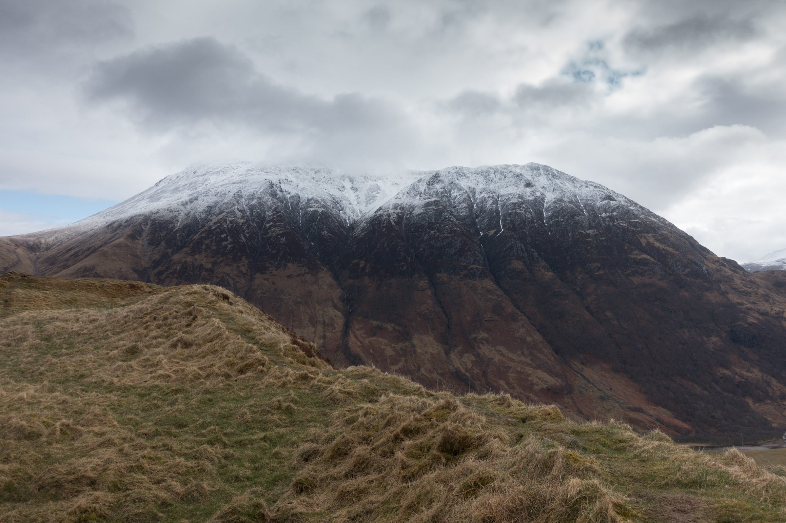
As I reached the top, the wind rose up and some stray cloud scooted in from the South. The narrow arête leading to Stobh Choire Claurigh, the first munro on the ridge, was edged in snow and without a close inspection looked forbidding. Further on was more snow and I decided to wait for more summery weather.

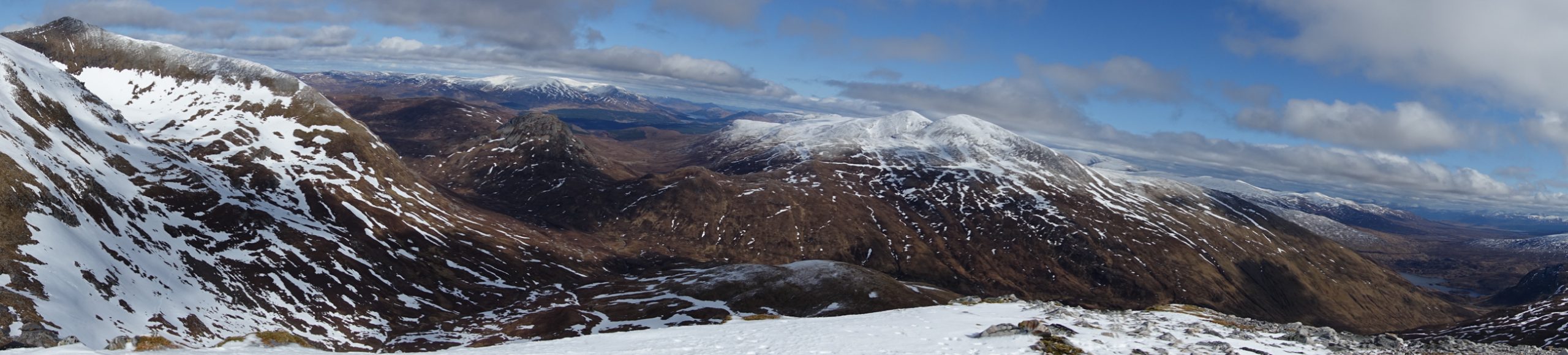
The route across to Stob Ban looked more enticing – with avenues of white snow between black rock. As I traversed the slope I disturbed three small deer taking the same line as me and struggling a bit in the softening snow on this SE face.
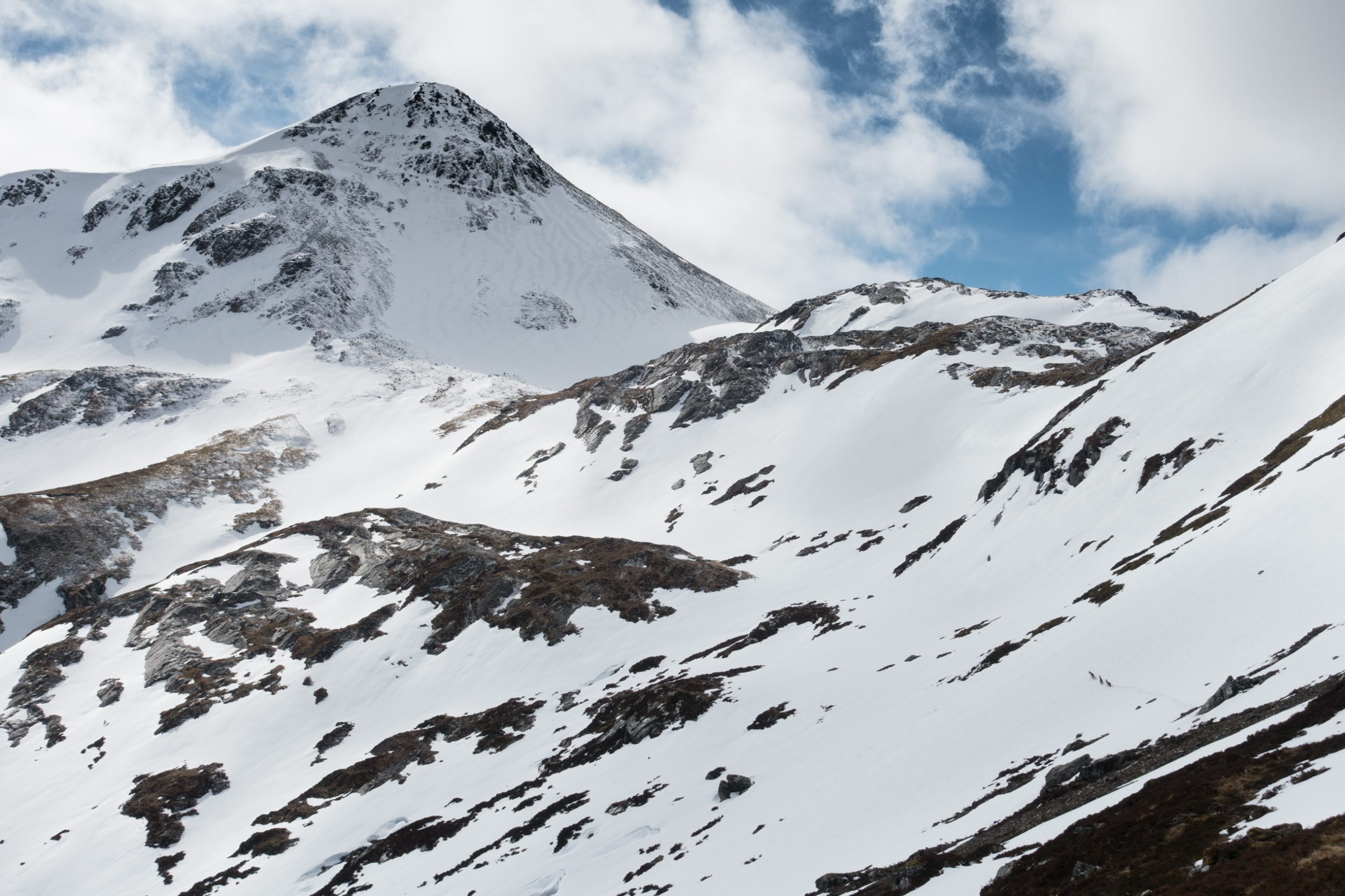
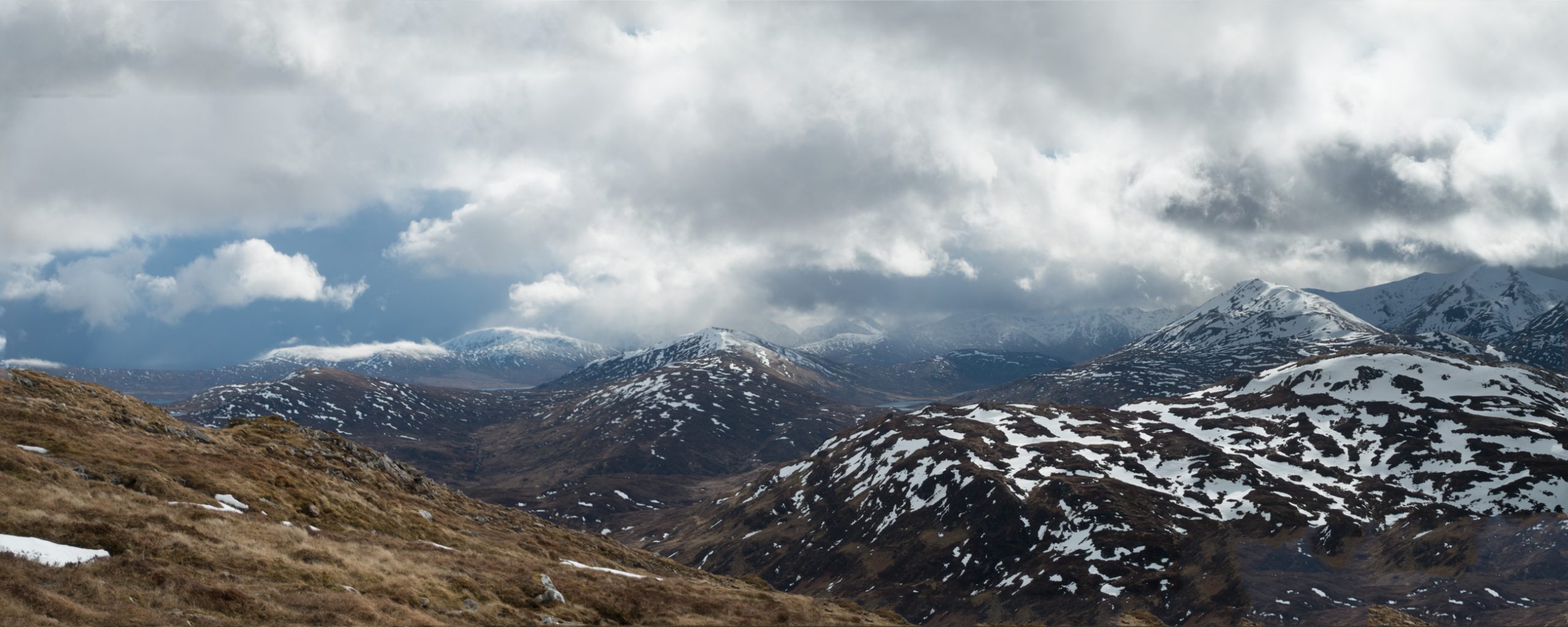
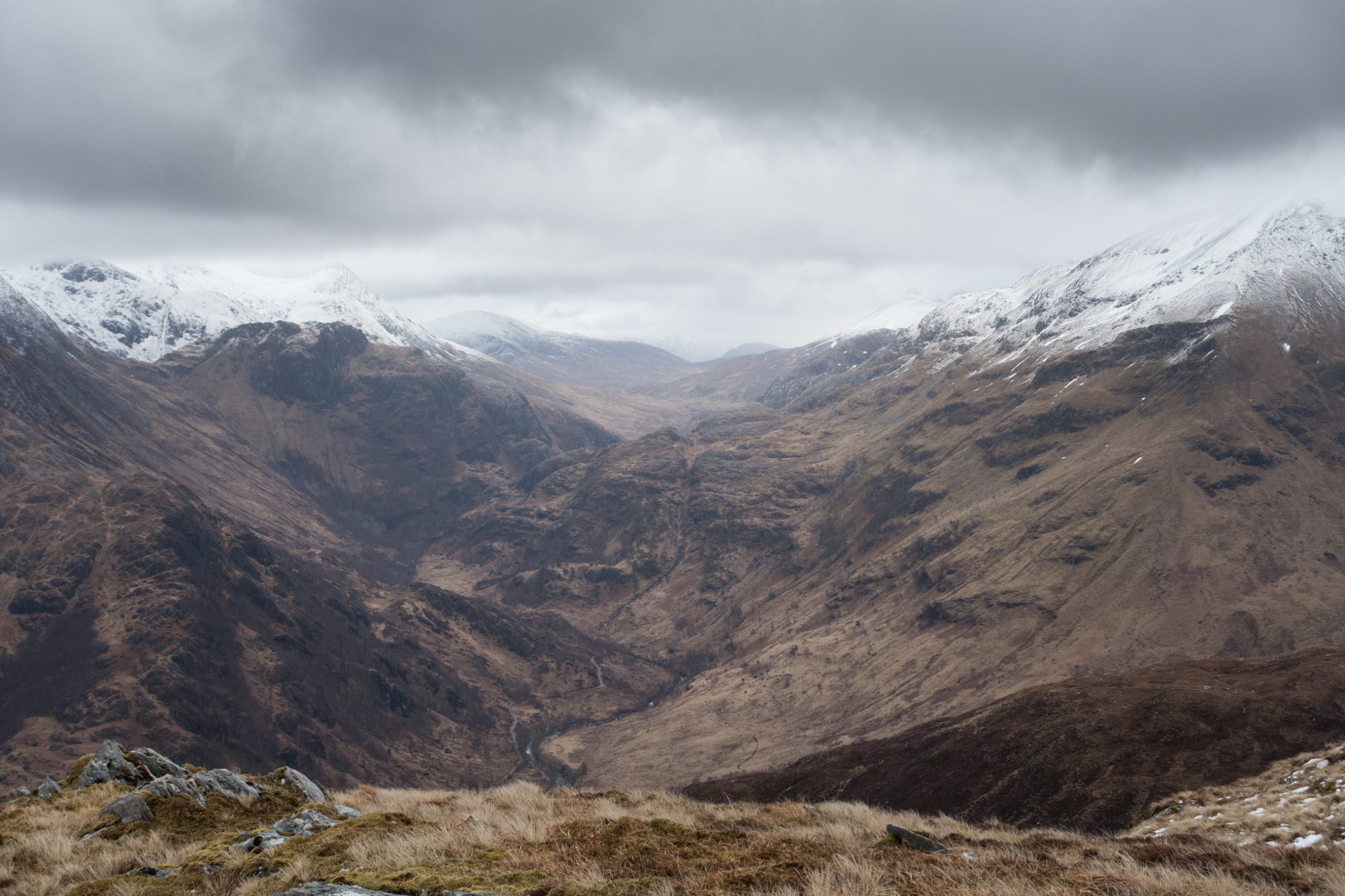
Stob Ban is a munro and an outlier of the Grey Corries. The views from the top are spectacular in every direction – the main ridge to the north and west; the Mamores to the south west and Stob Coire Easain and other mountains to the east.
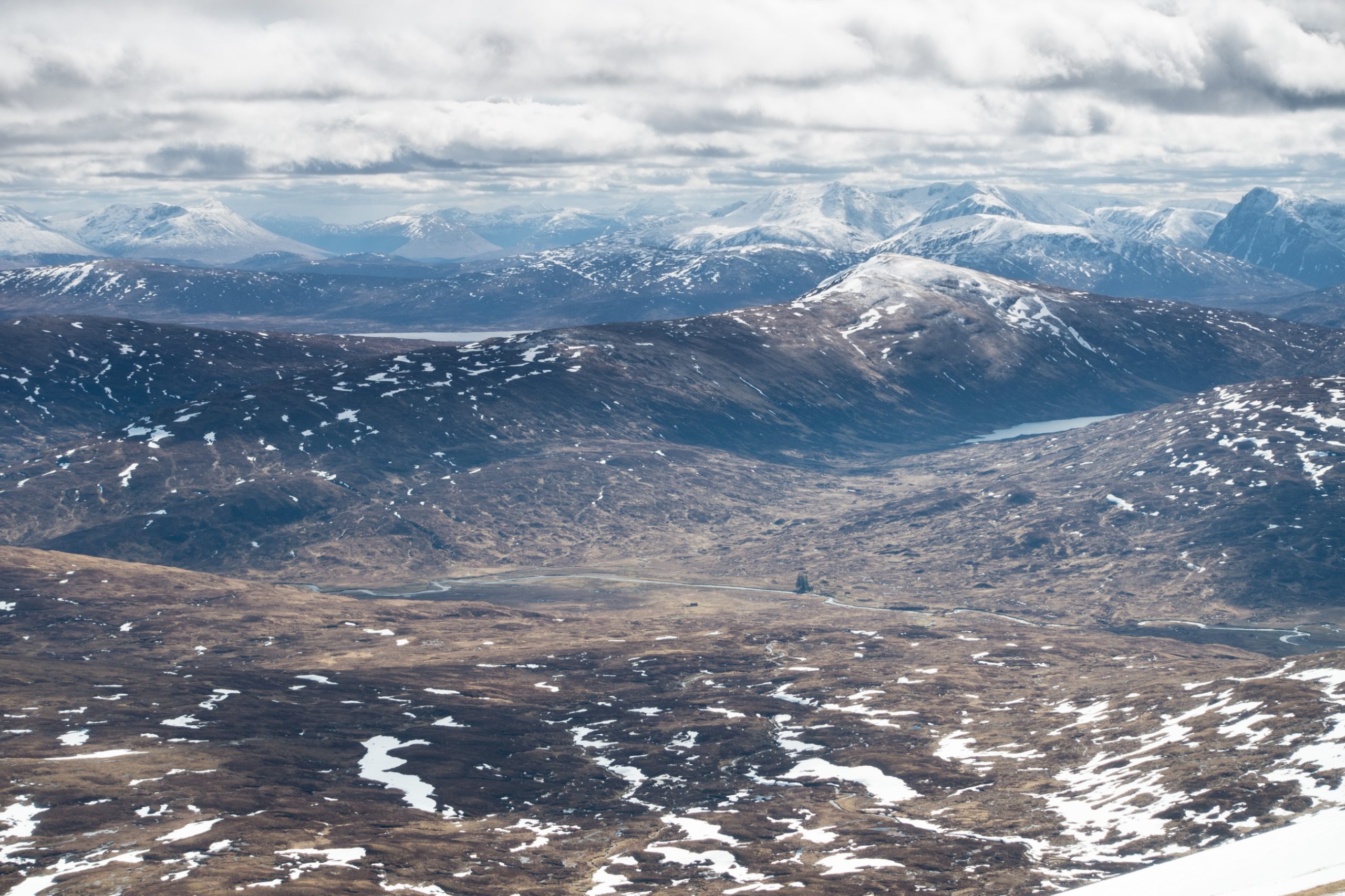
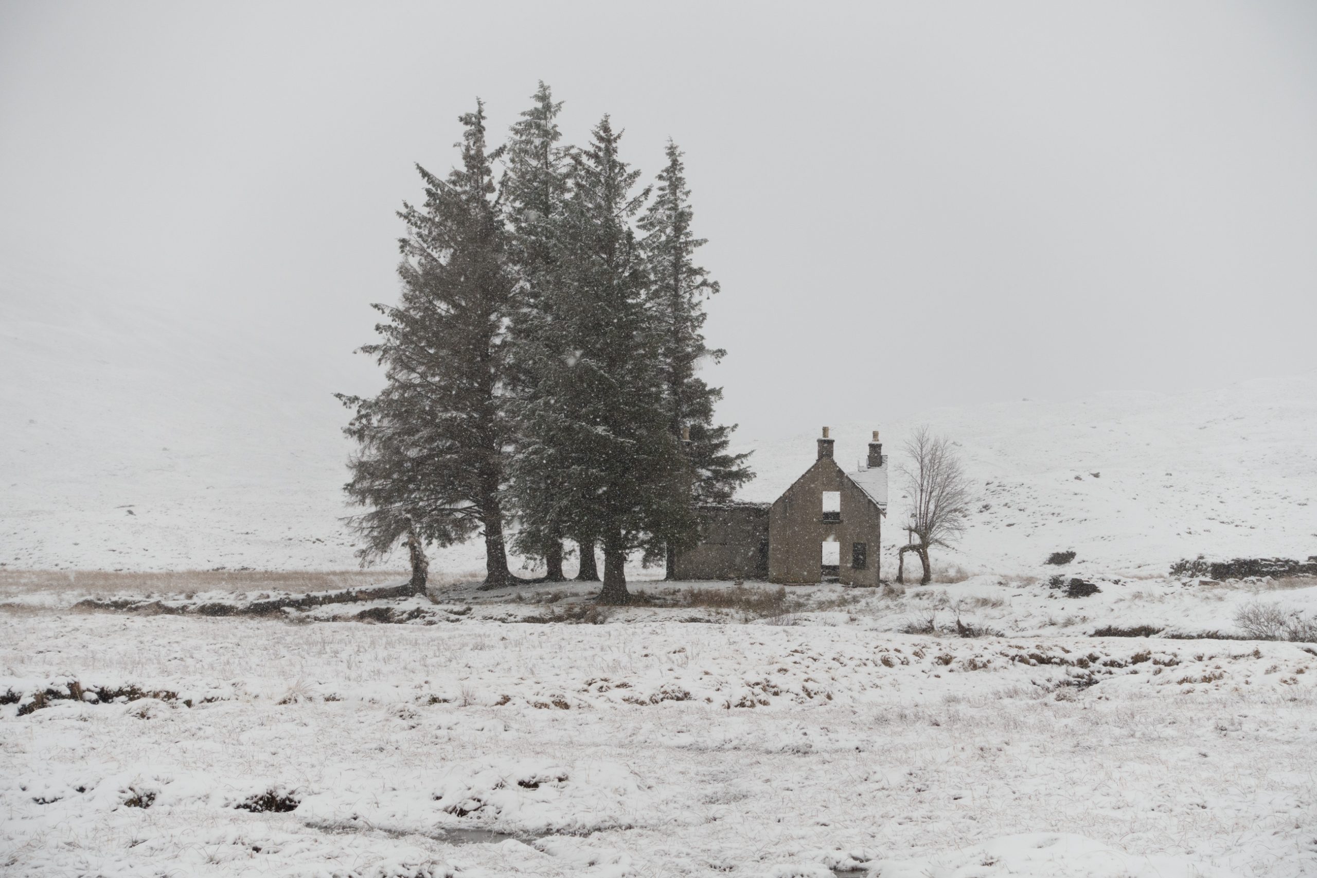
Below to the south is the wide plain with the landmark of the abandoned building at Luibeilt with its trees in view and, on the near side of the river, the small black shape that is Meanach bothy.
The forecast for the next day was not good and I determined to head towards Glen Nevis, with the possibility of overnighting at the bothy. Heading down from the ridge eventually I reached a path going south to the river Abhainn Rath. Although still only 4:30 I had been walking for more than 8 hours and the bothy pulled like a magnet.
An hour later a school party arrived to camp on the flat ground in front of the building. And later two groups of bothy goers arrived with food, alcohol, and fuel. That miserable cold and dark space became enlivened with flickering candles and a warming fire and the party went on to the middle of the night.
I was first out. My socks and boots were still wet despite the fire. And the land outside was transformed by a thick layer of damp snow.
I headed west towards Glen Nevis. As I lost altitude the falling snow turned to rain. There were 3 or 4 groups from Harrogate School walking the path along the valley having camped out for the night. Managed by a local Outward Bound team it seems this is a regular part of their curriculum.
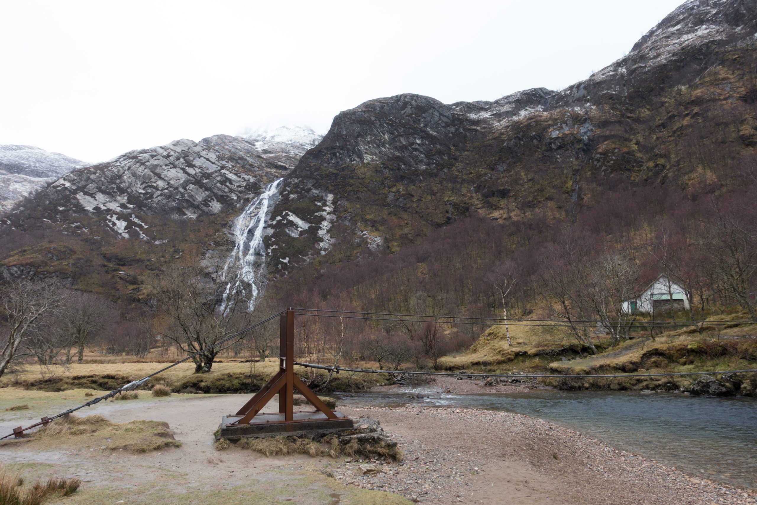
I came level with Steall Falls. Still it rained and the cloud was low. And I knew up above there was snow, so the possibility of jumping to the end of day 3 of my planned itinerary was not on.
I continued down to the forestry tracks which took me along Glen Nevis parallel to the road until I reached the Youth Hostel. This a pleasant place to stay right opposite the most frequented route to Ben Nevis. At times it seems too far from Fort William – about an hour’s walk – and it is even further from the valley head where most of the interesting mountain walks start, but the facilities are fine with a number of rooms and dorms, prepared food with beers and wine, a good kitchen for self catering, and a warm drying room.
I woke on my last day to more rain. I had a 7:50 appointment with the night train, the sleeper, at Fort William – leaving a full day available for walking. I decided to follow the West Highland Way towards Kinlochleven and the head up the first big hill – Mullach nan Coirean.
Access is via a long spur which points north to Glen Nevis – starting by a remarkable ancient fort Dun Deardail which seems to lie just under Ben Nevis – although this is actually on the other side of the valley.
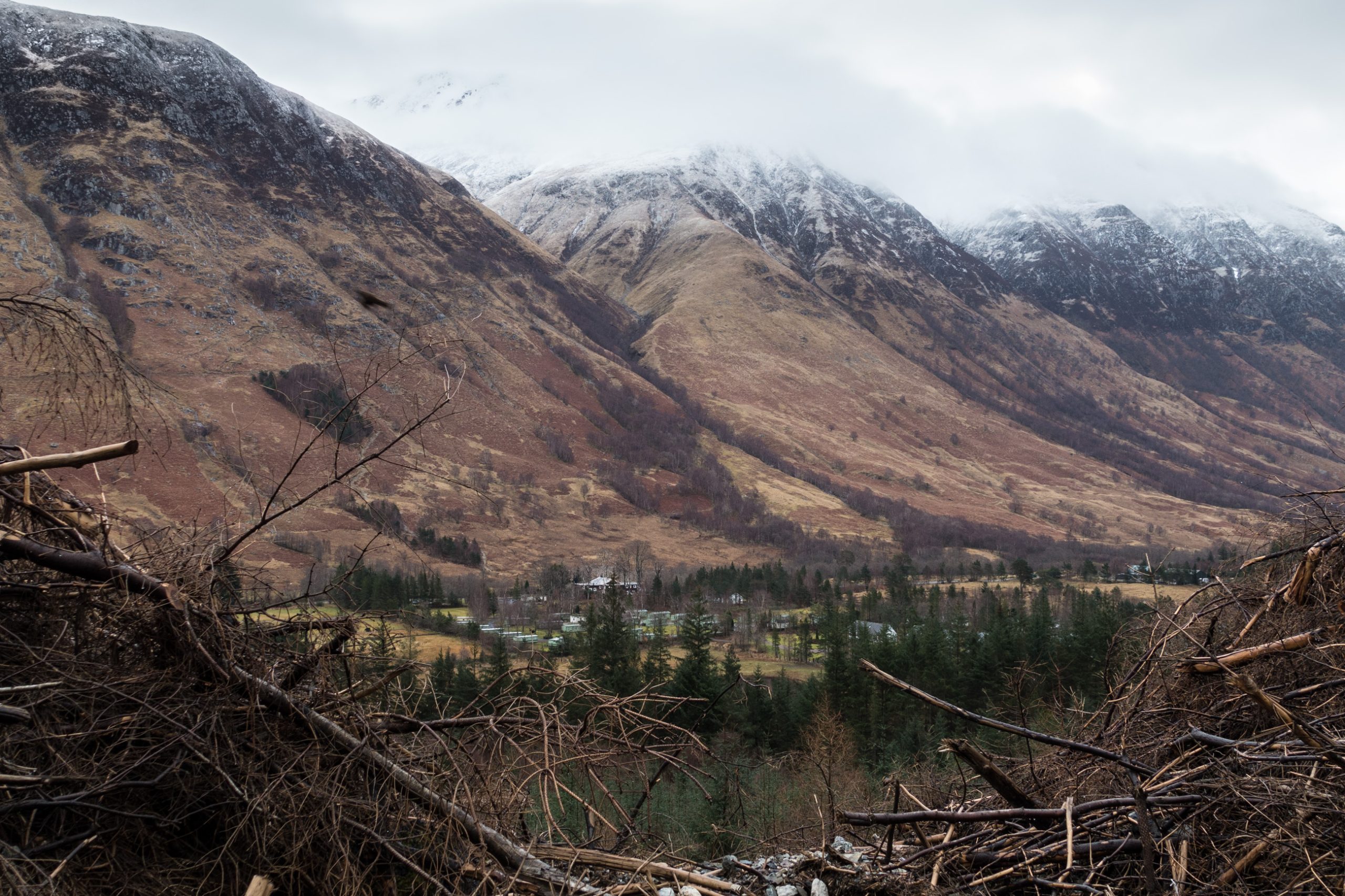
The ridge provides an excellent view of the upper part of the glen, the cloud obscuring the peaks on either side. The top itself snow and cloud bound with a giant cairn was not a place to linger on this day, and I gave up the idea of the potential circuit over the next top Meall a Choarainn and turned back the way I came.

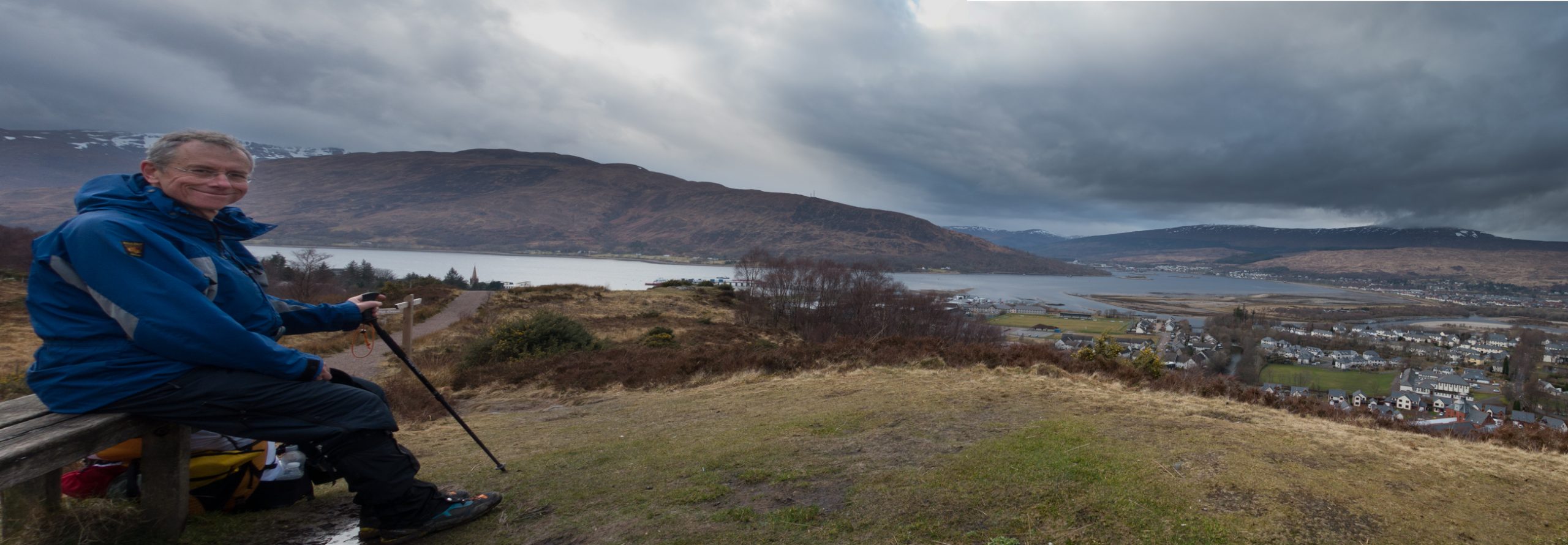
On the return the forest track leads eventually to a large car park at the end of the glen. From here a smaller path goes up and over the side of Cow Hill to deposit me by the leisure centre in Fort William – just five minutes from the station.
| Plan | Actual | ||||||
| distance | climb | high point | distance | climb | high point | ||
| day | km | m | m | km | m | m | |
| 1 | 19 | 1157 | 1091 | 17 | 1010 | 1091 | |
| 2 | 16 | 1724 | 1224 | 13 | 960 | 1074 | |
| 3 | 17 | 1900 | 1345 | 20 | 340 | 394 | |
| 4 | 16 | 600 | 962 | 19 | 1219 | 927 |
The track taken turned out to be very similar to my previous trip described here.