
It’s October. Daylight appears at 7am and lasts until about 6 pm. This makes for a relaxed backpacking plan:- a core of 7 hours walking, topped and tailed by 2 hours for breaking and making camp. [route map at end of post]
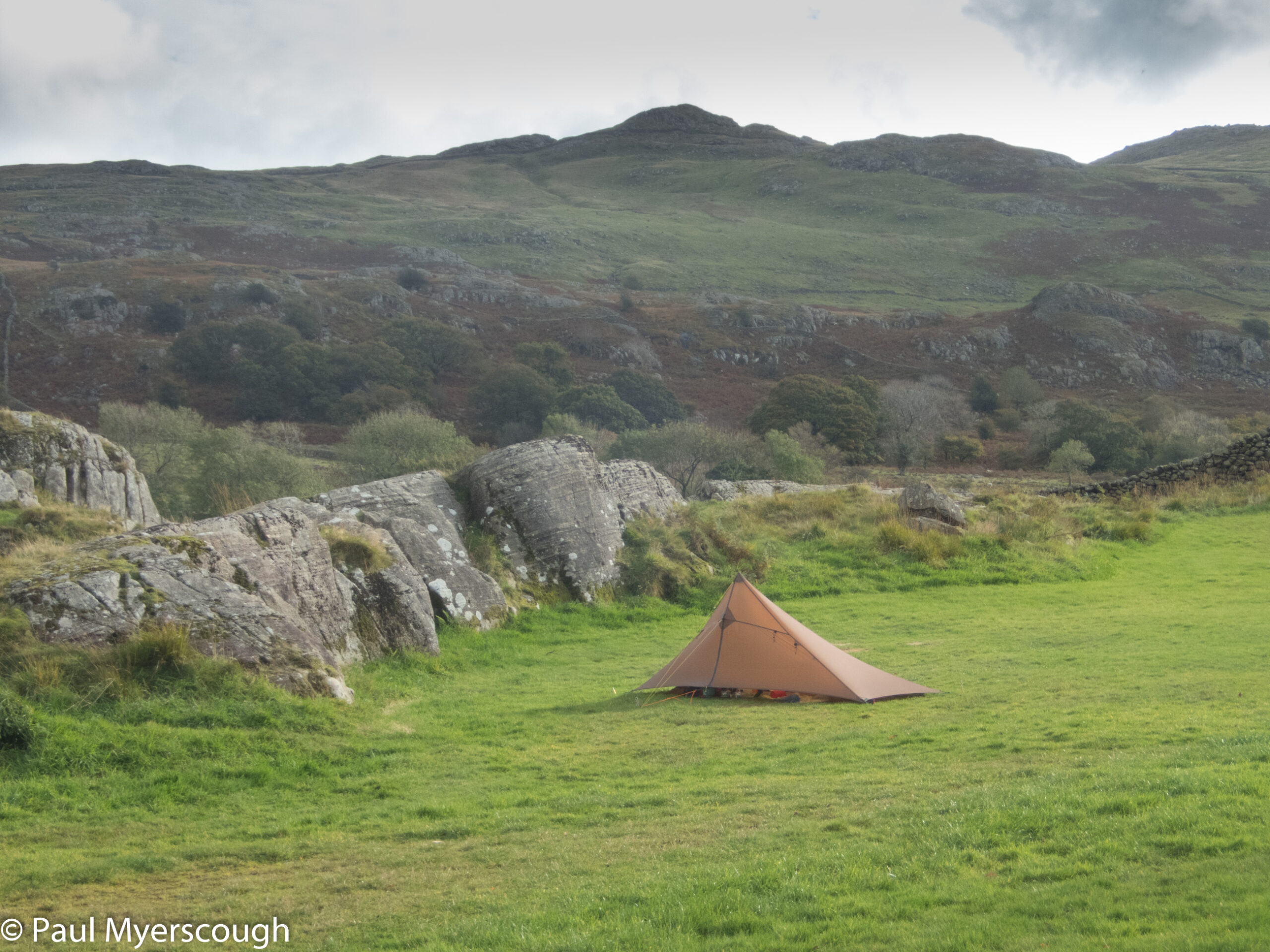
Arriving late on a Tuesday evening, I had the campsite to myself – and no-one to see my pitching efforts in the failing light and rain.
This was the first trip for more than a year and I needed to try out the legs and the equipment before heading off with a large pack.
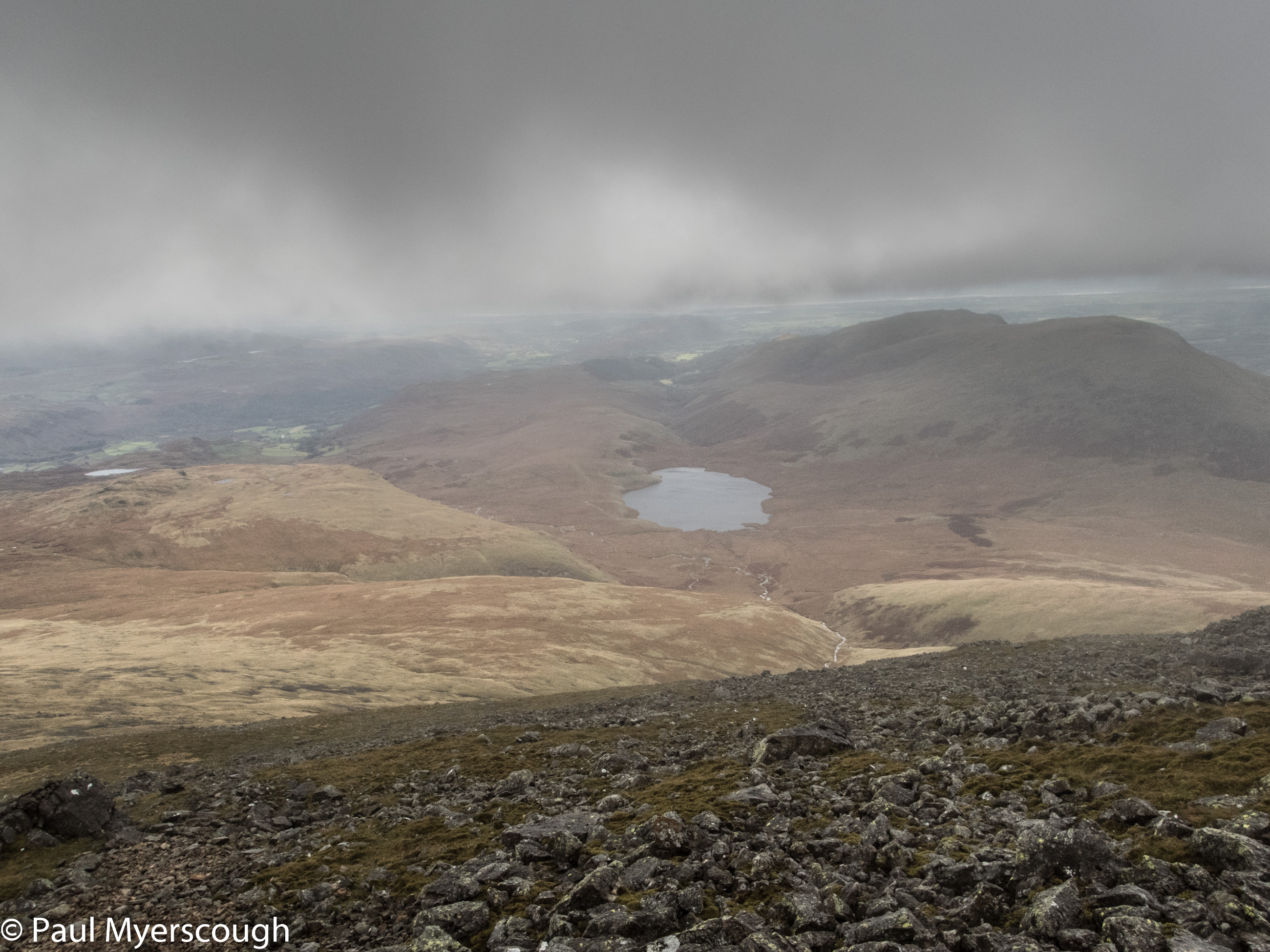
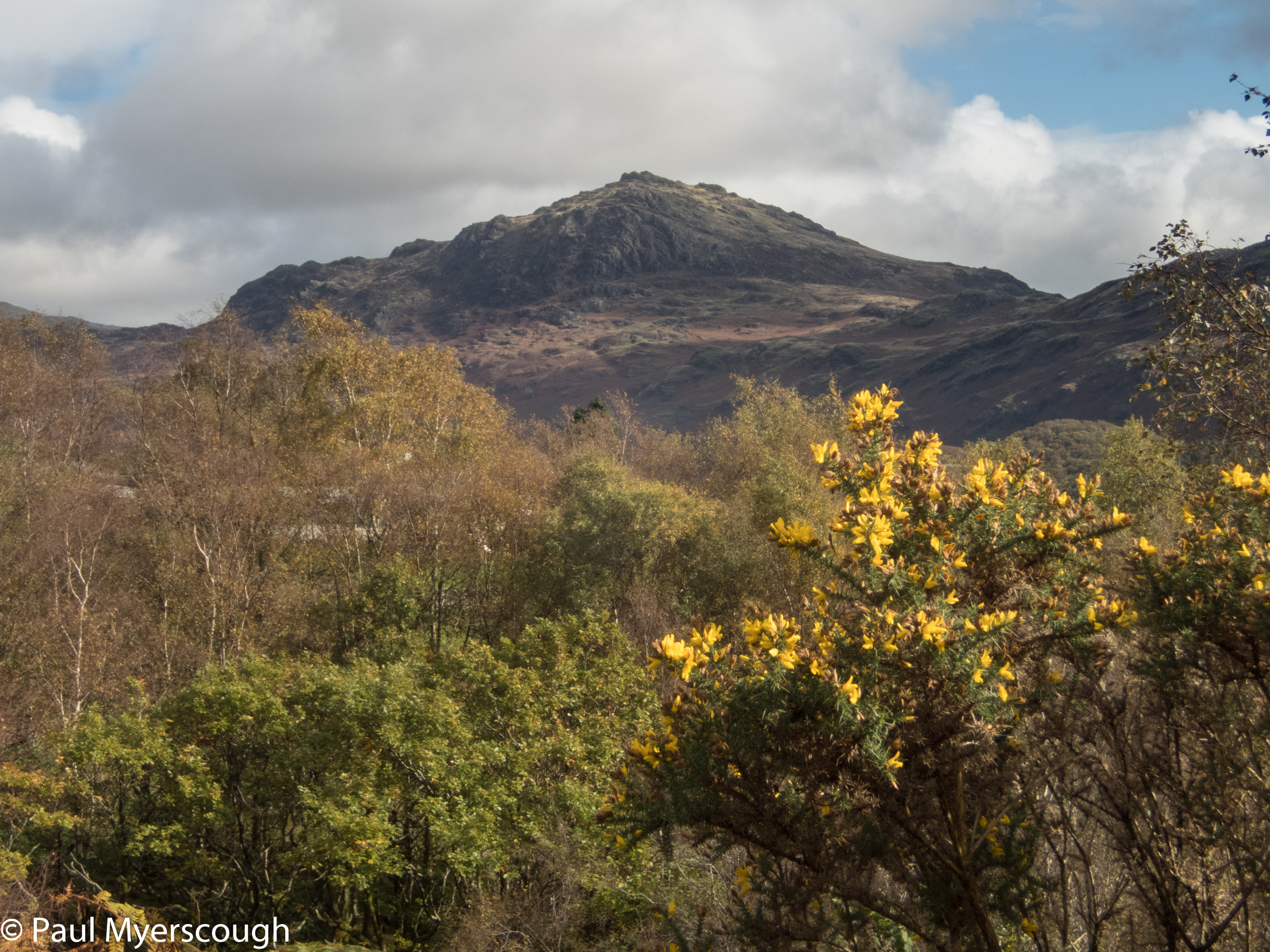
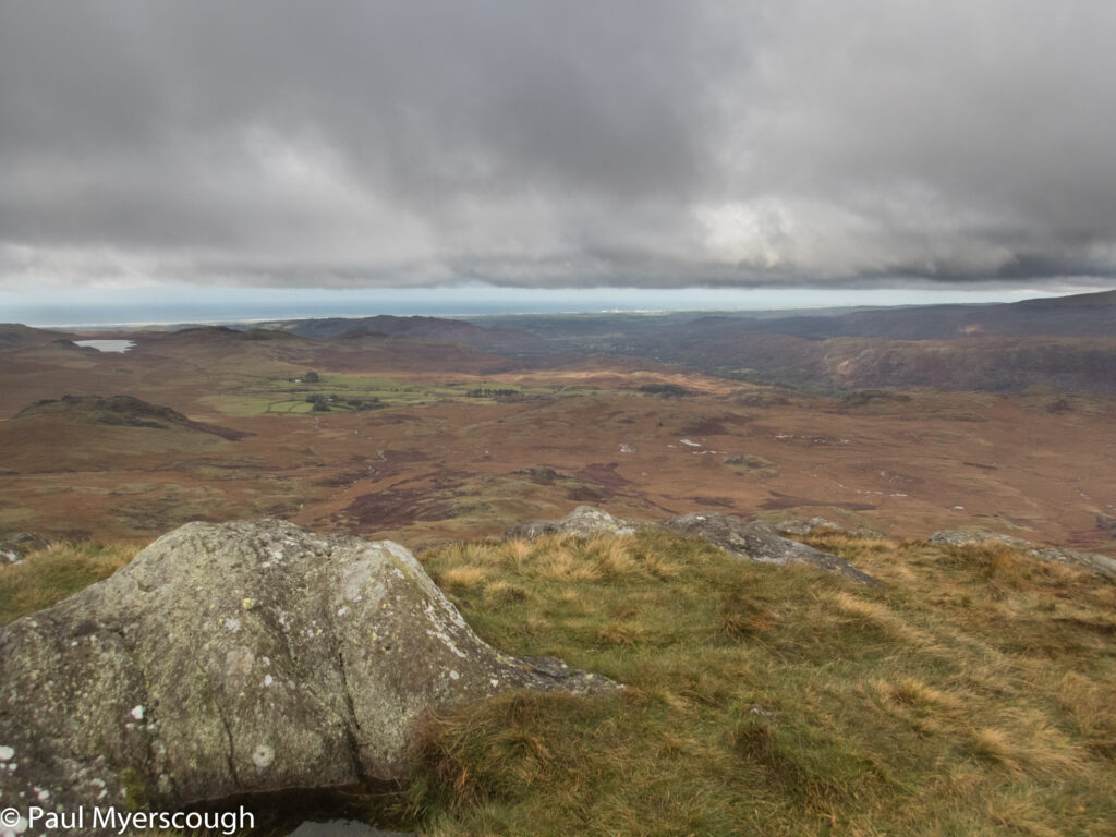
The Walna Scar Road starts nearby goes over the ridge to Coniston. The highest point provides access to the ridge path leading round via Dow Crag to Coniston Old Man. I headed off in the drizzle and chased a couple of walkers up into the cloud and cold wind. For a while it was tempting to extend the walk by going out to Swirl How but in the mist everything looks much the same and, reminding myself this was a try-out and not a test, I turned back over Brim Fell and reached the summit of Coniston Old Man. On the way I say just two elderly walkers on the path and a stocky shepherd striding up and down through the mist gathering up some sheep near the fell top.
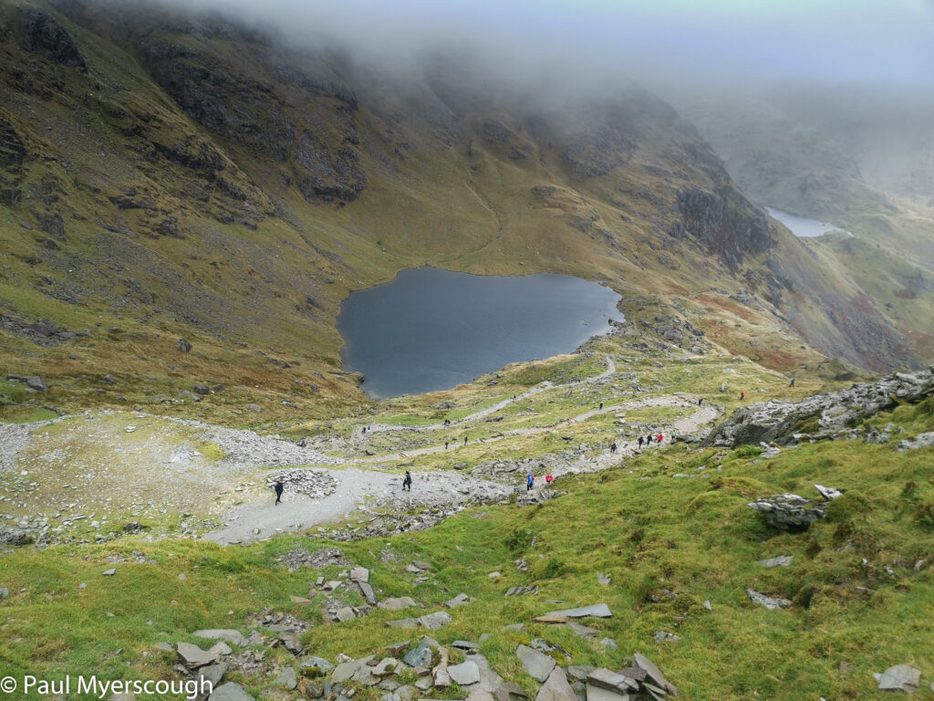
At the summit there were a few walkers that had ascended from the other side. I headed down towards Coniston and through the mist there appeared more and more people. And dogs. As I came out of the cloud I could see multitudes before me. Toiling up the rock path. Maybe 100 people, maybe more and many, many dogs. Down below the sun was shining on Coniston village and the walkers had suites and mini skirts and sandals as well as walking boots and anoraks.
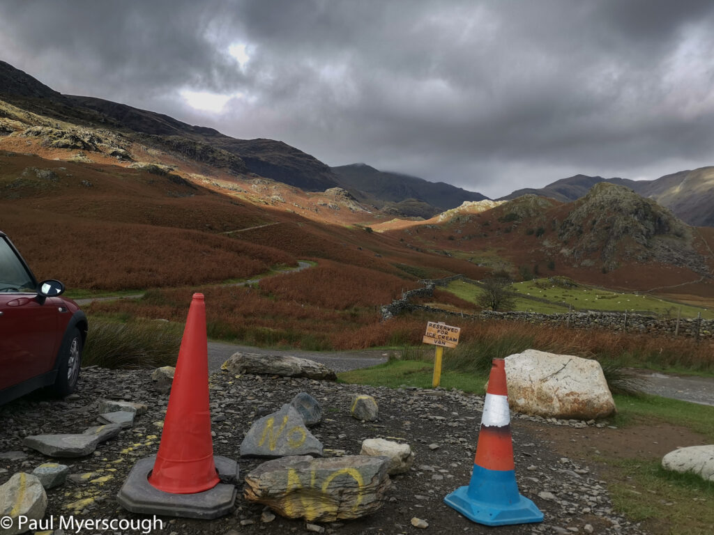
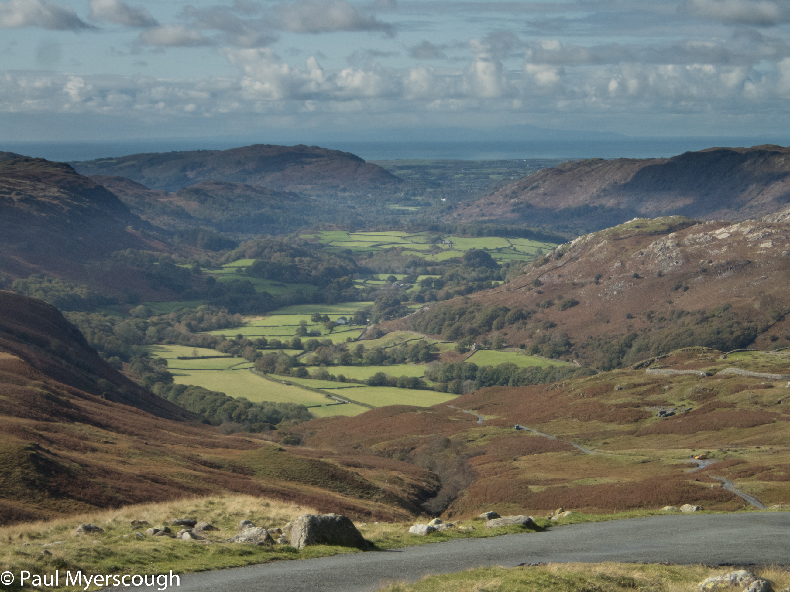
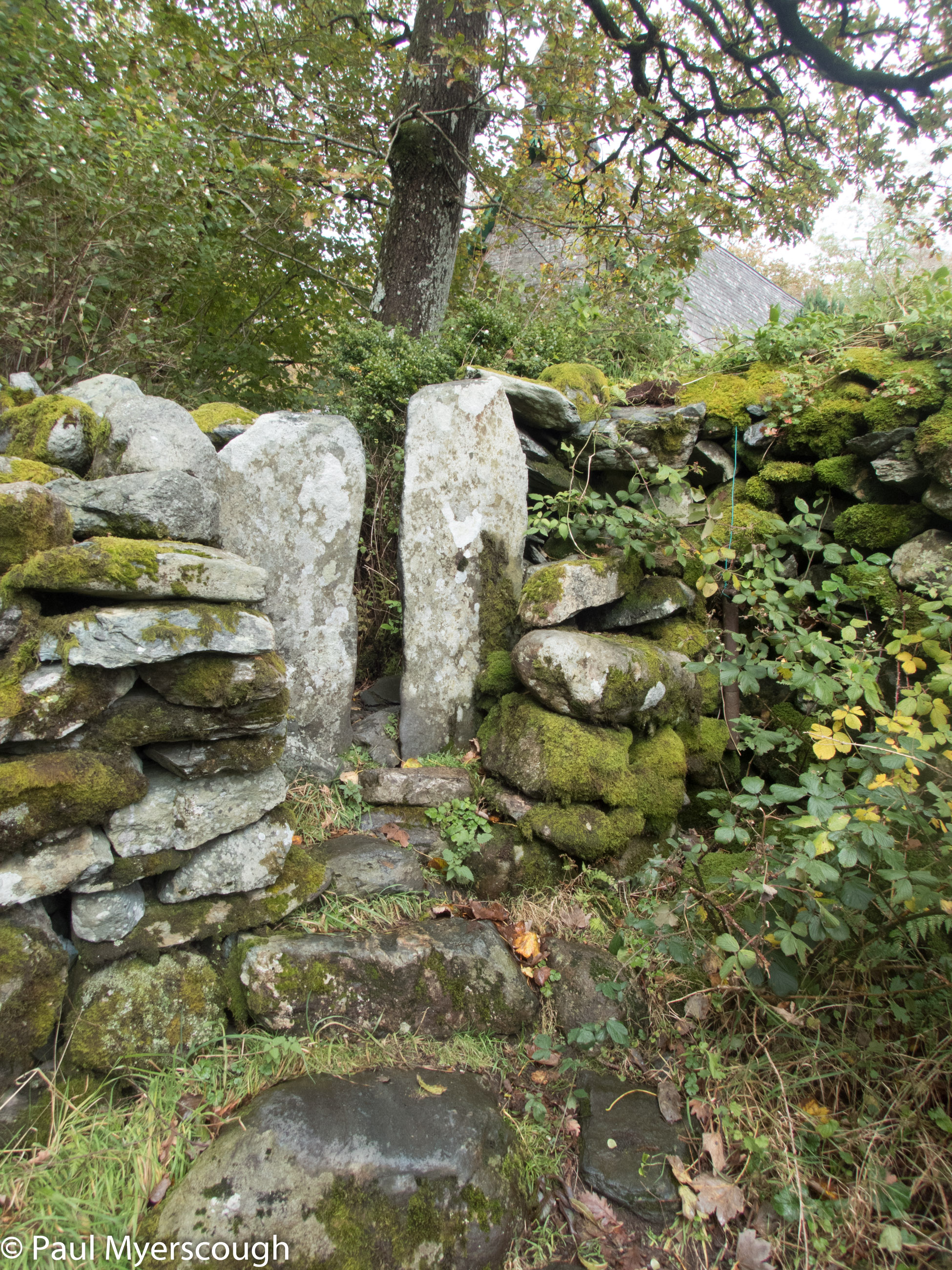
My route down took me to the far end of the Walna Scar road and on the steeper parts there was a lot of stop-start as people practised social distancing. There’s a car park here – with maybe 60 cars and just one empty space protected by cones and rocks and shown in the picture below.
As I headed west back towards the Duddon valley I met fewer and fewer people until there were just a couple of figures I recognised from earlier who were doing my route in reverse.
I reached my tent soon after 3pm. Six hours walking was a good enough re-introduction to the mountains, no problems with the legs or the equipment!
The planning for a few days backpacking was done in two stages. First plotting routes that looked good, but not too ambitious. And then again, heading in the same direction but cutting back on distance and elevation to make a more relaxed day. So, for example, day 1 with 17km distance and 1400m of ascent became 13 km and 900 metres of ascent.
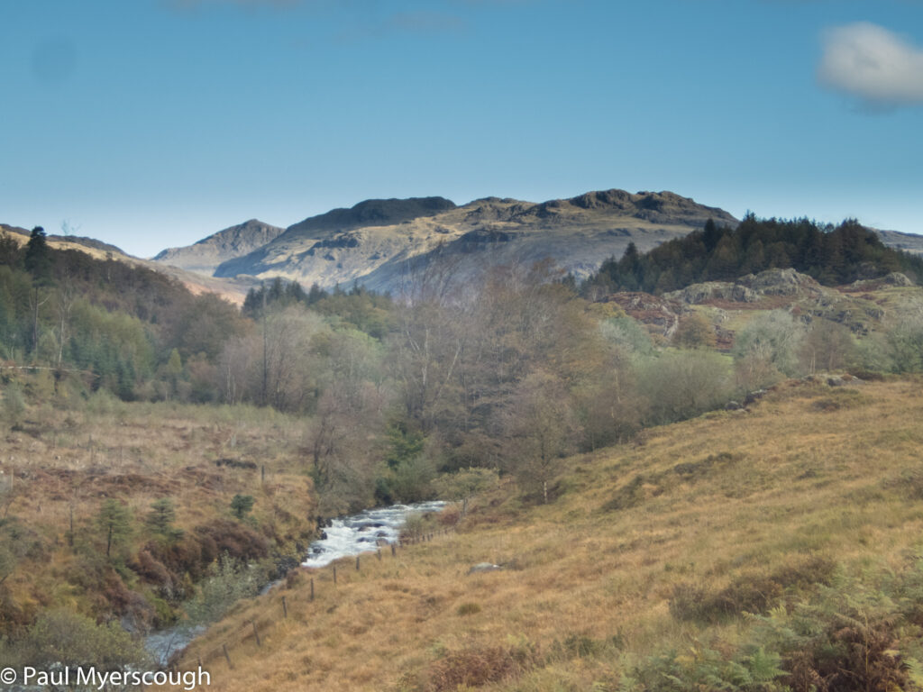
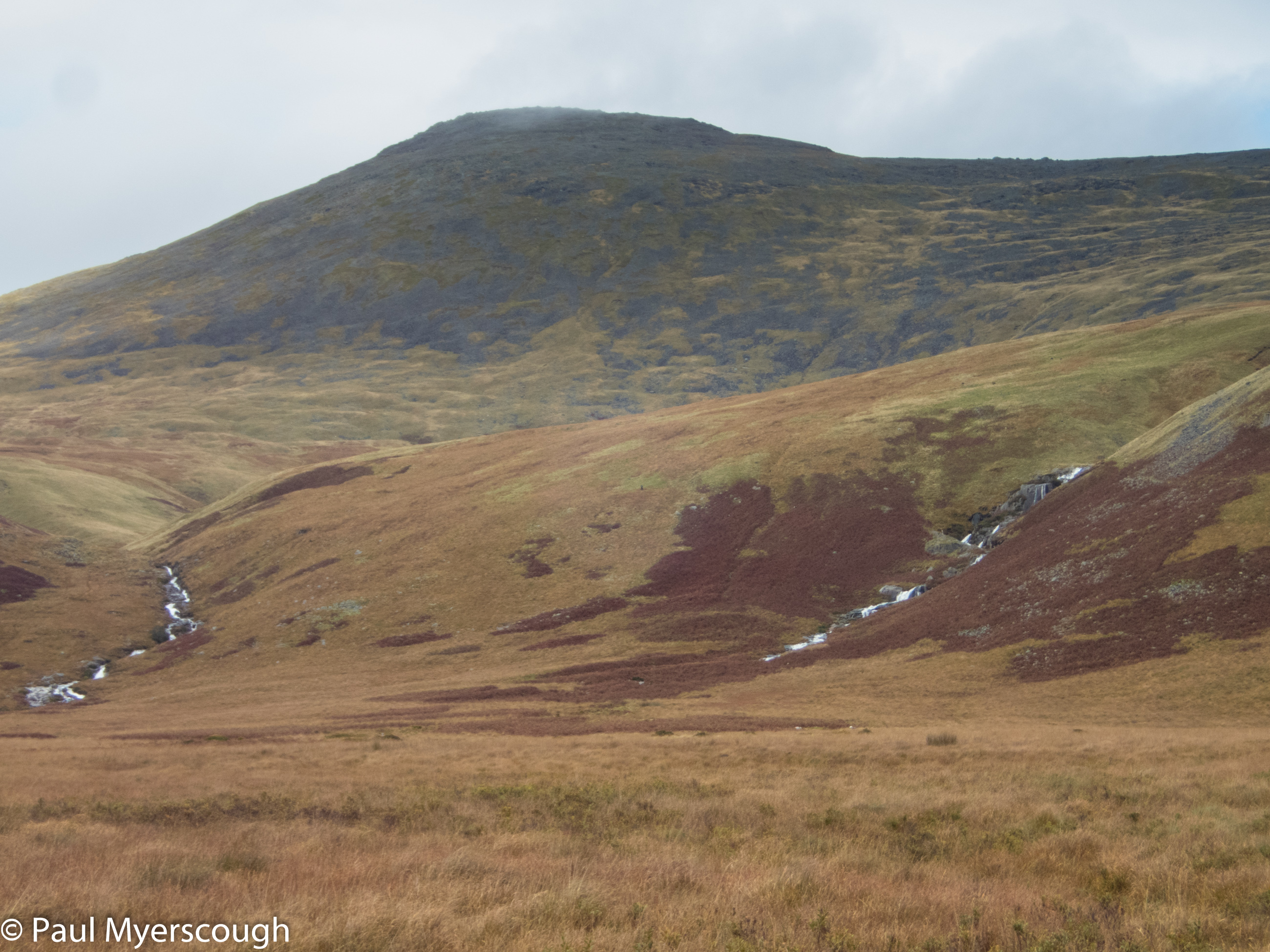
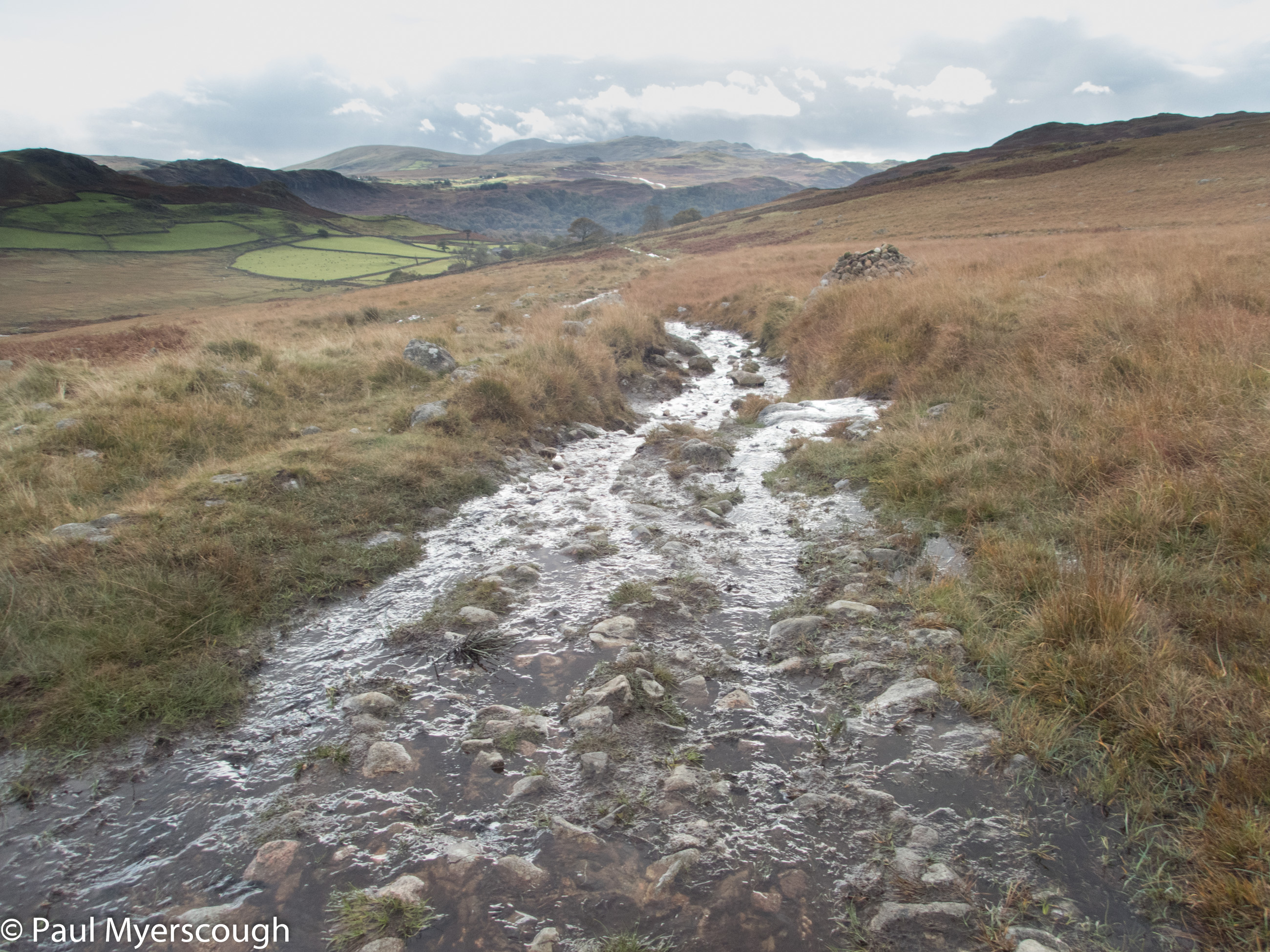
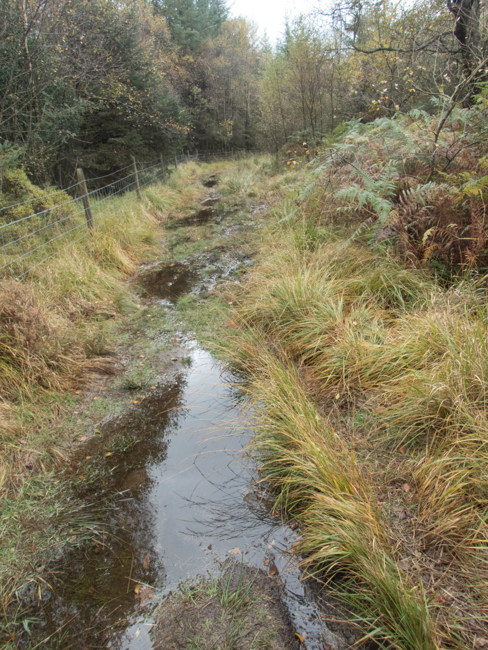
It was another rainy night – noisy on the surface of the tent – and I reached for earplugs to help my sleep. By 9 I was all packed-up and on the way. The Duddon valley is criss-crossed with paths. I headed north for Birks to gain access to a direct route onto Harter Fell. It was easy to not follow the plan and take alternative paths in the right direction. Everywhere was wet underfoot.
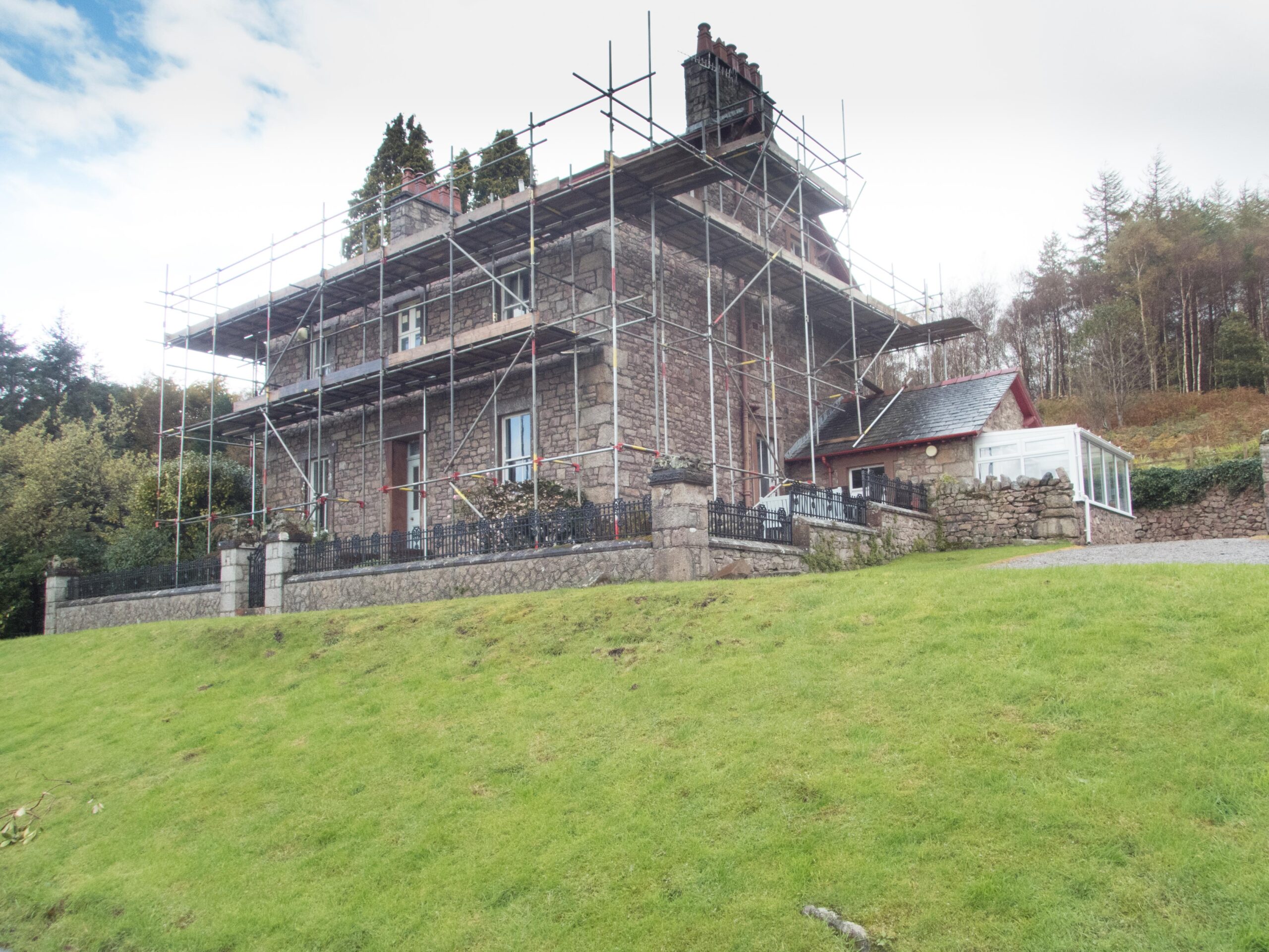
I expected a farmhouse at Birks, but it was another conversion, it looked like an outdoor centre or possibly a number of separate self-catering units. A short distance beyond the hillside rose out mire and a steep direct route headed up to the top of Harter Fell. This is one of the hills that required some hand-on-rock to get to the highest point. Not a very dramatic climb to a slightly uncomfortable spot, before clambering down again for somewhere comfortable to sit.
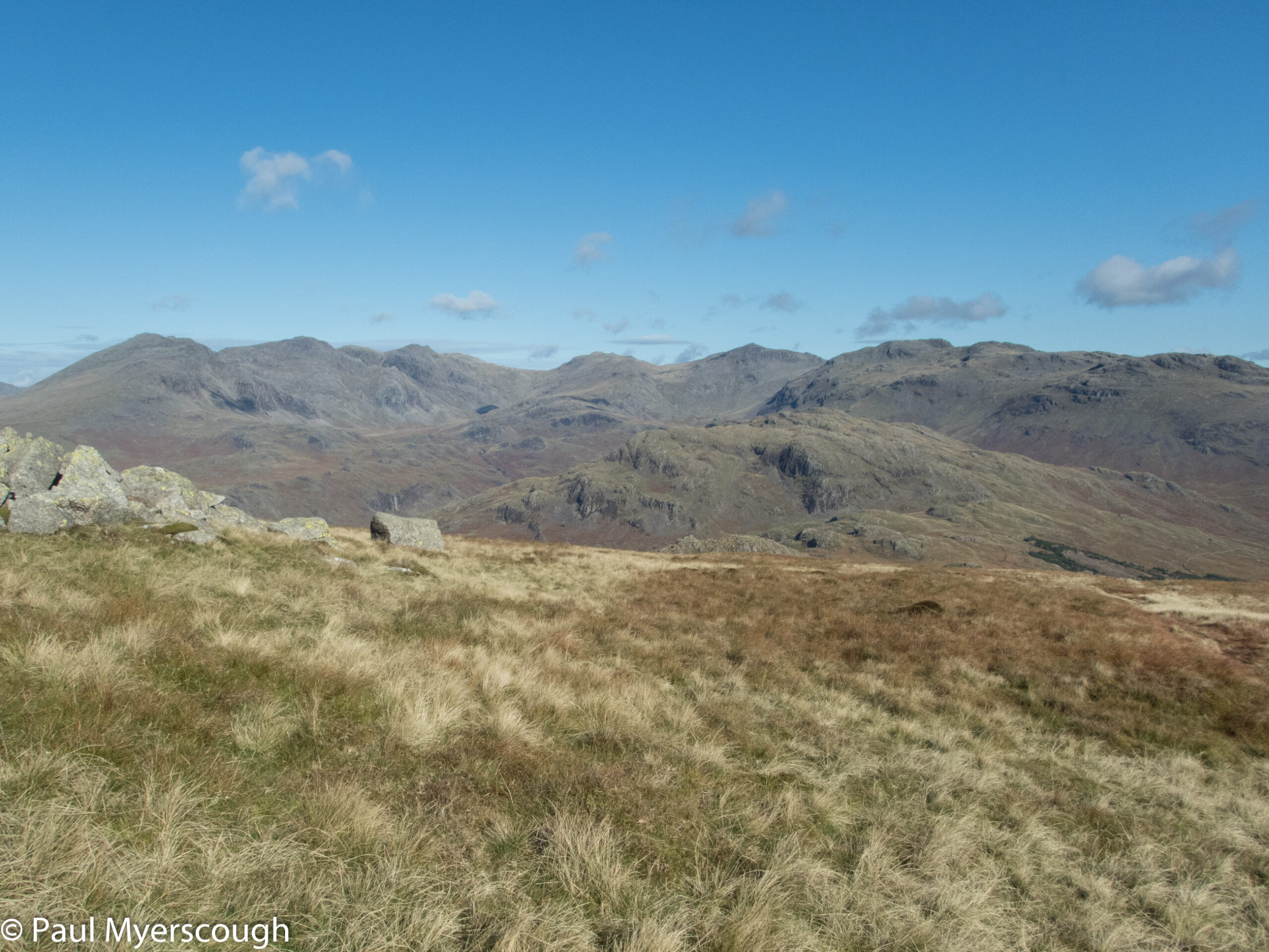
By now the sun was shining and lighting a stunning panorama. To the north the Scafell range including Bow Fell and the Crinkle Crags, and to the west, lower Eskdale and the the beaches near Ravensglass and Sellafield and beyond, the Irish sea, and the Isle of Man
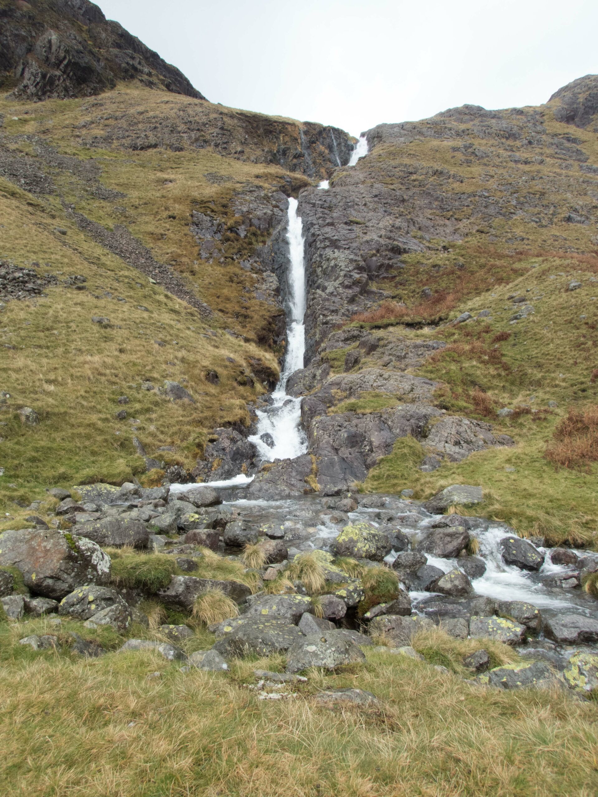
My target for the day was the fell opposite Cam Spout, the waterfall at the east side of Scafell. I just had to walk into the picture in front of me.
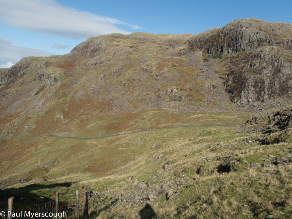
Going pathless can be hard work, but the distance isn’t far and following a ridge is always an attractive option. There are some OS dots on the map heading north towards Hardknott Pass, but this is probably a parish boundary. There’s a couple of fences to be crossed before reaching the road.
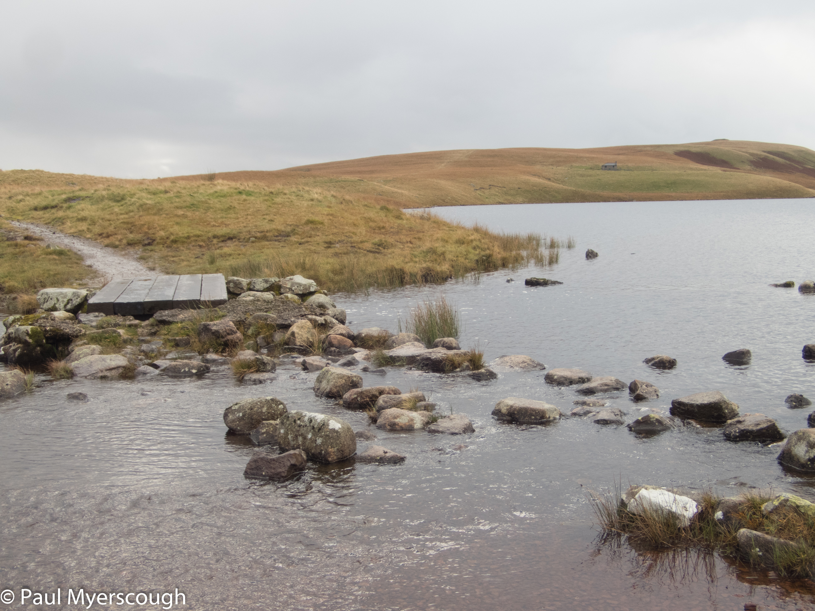
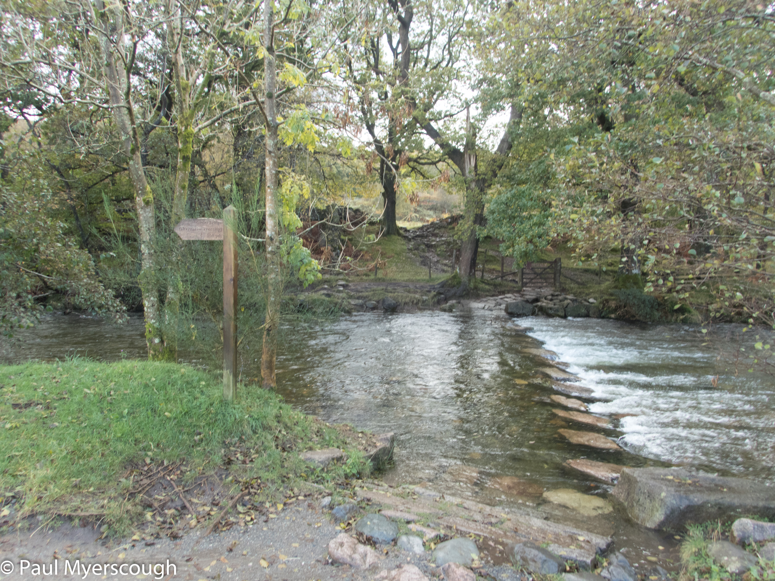
An easy but steep slope leads up from the other side to Border End and Hard Knott itself. Despite being on the ridge the walk down to Lingcove Beck is wet underfoot and a straight trajectory is not possible as I weave between the boggy bits. There’s been a lot of rain recently and I was nervous about a difficult river crossing, but I managed to hop across the rocks without getting water over the tops of my boots.
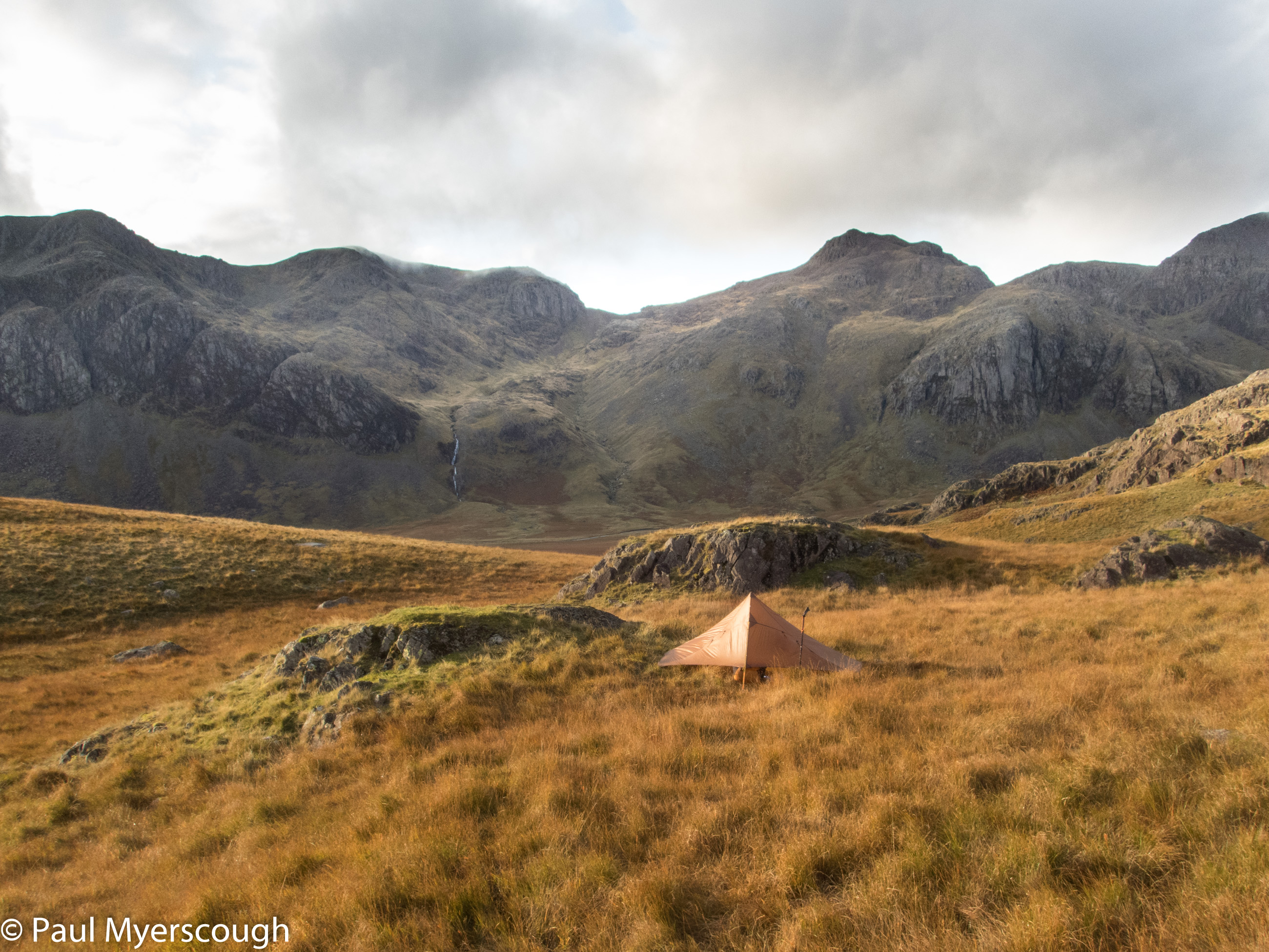
Across the river is an attractive ‘cirque’ to traverse round before climbing up the slope to Scar Lathing. This is the end of a wedge of rock that reaches down from Esk Pike and on the map looks relatively flat and an attractive pitch from which to study the eastern aspects of the Scafell hills.
Sloping ground gives all sorts of problems when tenting. Getting a good taught pitch can be difficult. Sleeping without rolling of the mat can be problematic. And there is a tendency for everything to move down to the lowest point which make organising stuff and keeping dry gear separate from wet stuff impossible to manage.
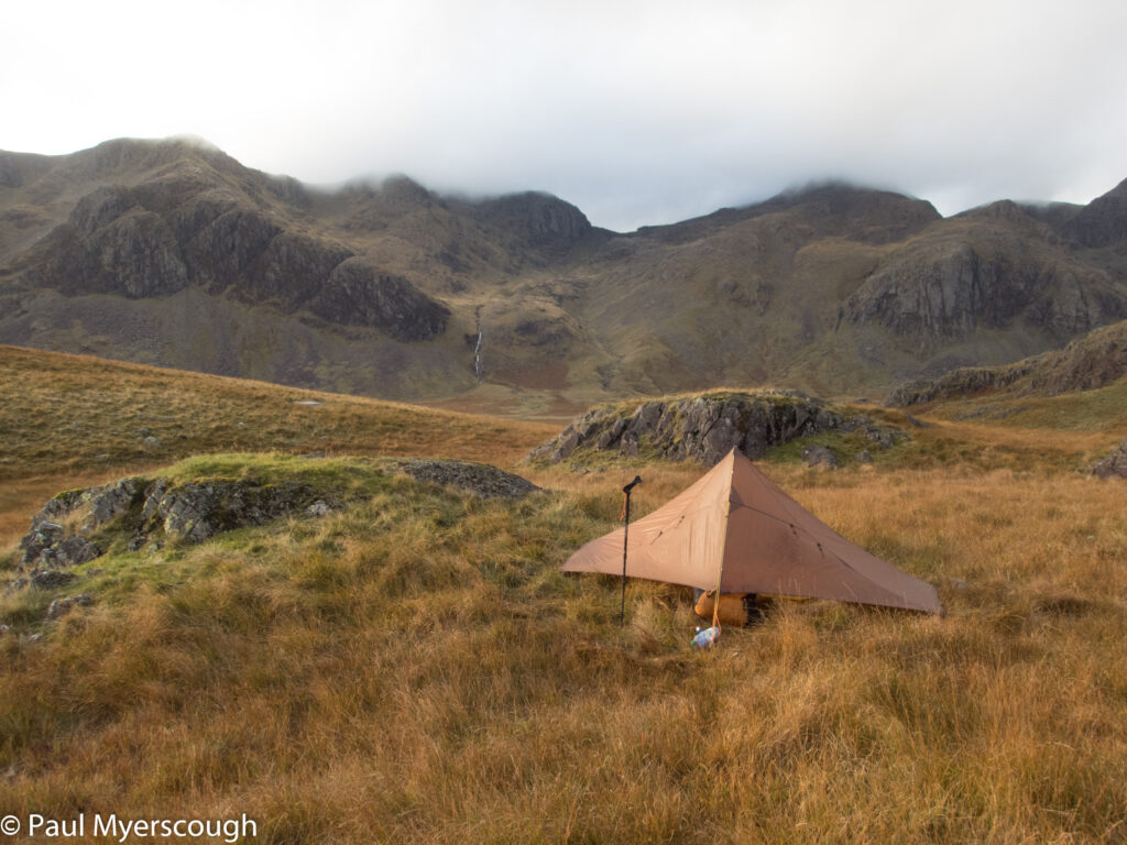
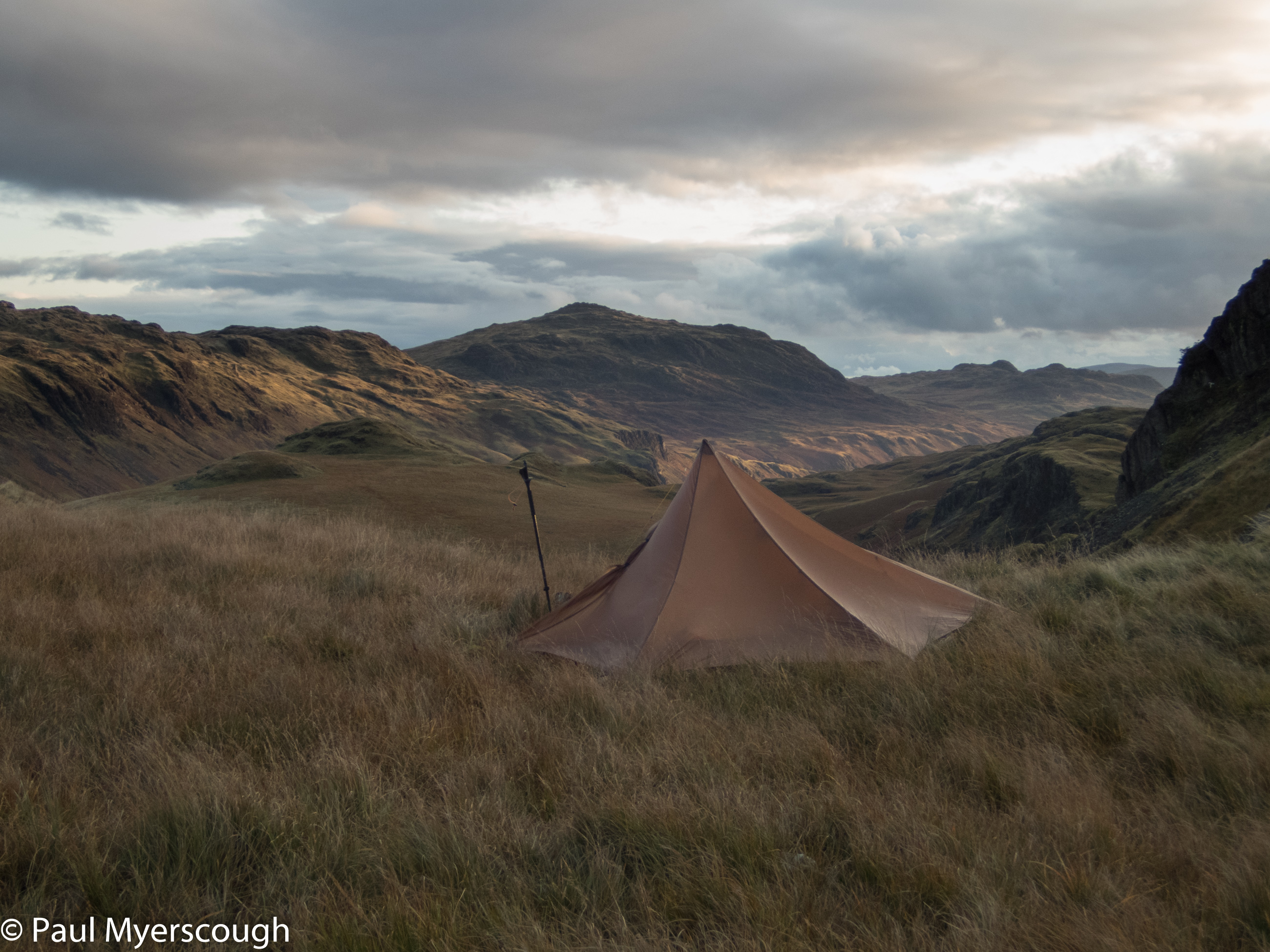
But when the ground is wet, the flat ground is the wettest. So deciding where to put the tent was difficult. I spent an hour walking back and forth. I expected wind and rain in the night. Sadly I had to turn my back on Scafell as the wind was blowing from this direction, and eventually I chose some wet ground which looked like it would drain enough to stop it getting wetter.
I saw the last walkers a couple of hours before, but here I was not completely alone with some small bats flitting around and a low long creature – could it have been a polecat? – heading home at the end of the day across the grass a few meters in front of me.
Following a noisy and worrisome night, it felt auspicious to wake up and not hear the pitter-patter on the tent or the roar of the wind.
After a small breakfast, the bag was packed and I headed down to the dark line etched across the Great Moss. With some caution and helped by probing walking poles which also spread my load I crossed the boggy valley bottom to reach the crossing point on the River Esk and then the bottom of Cam Spout.

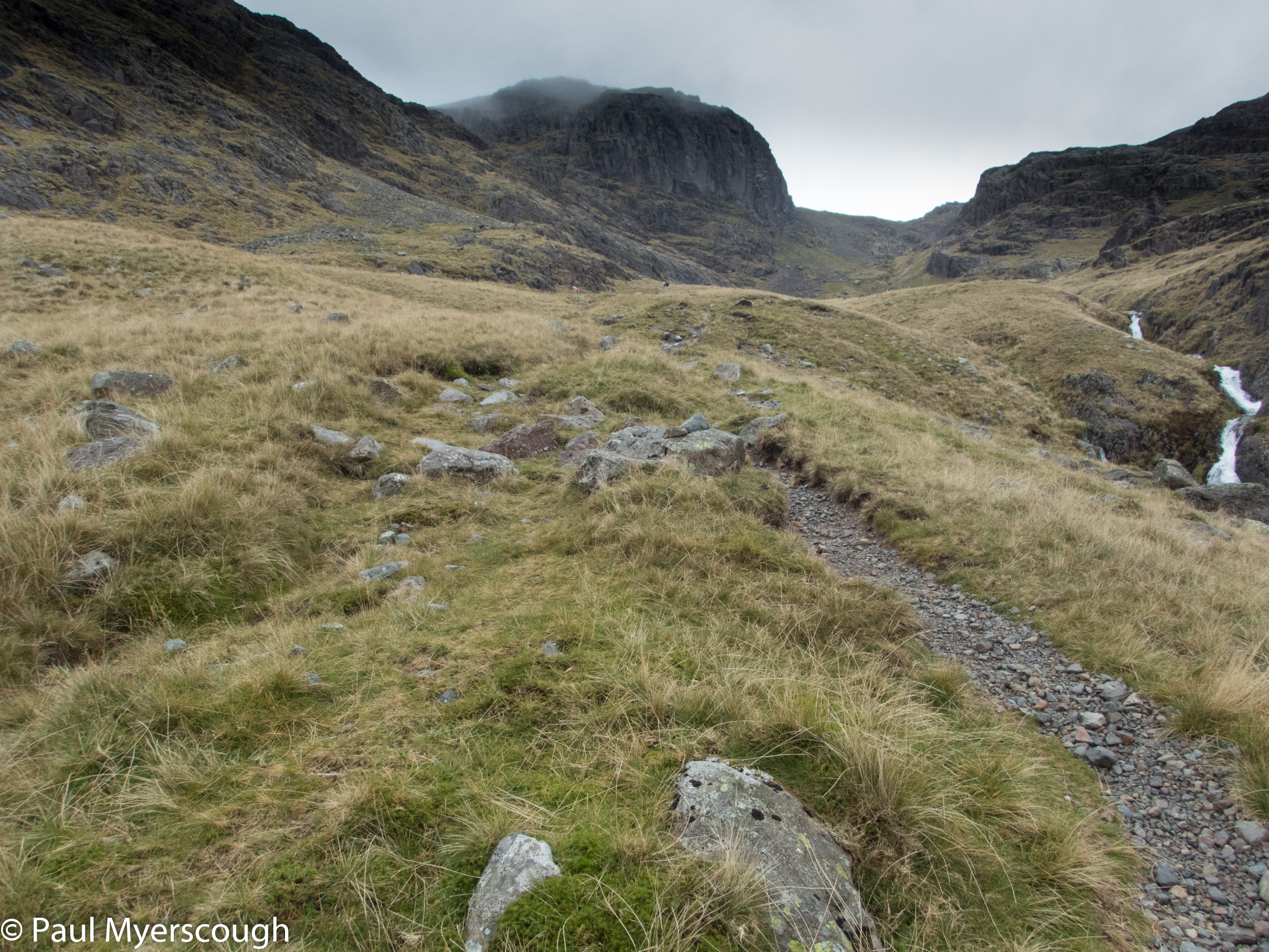
At 9:30am there were no others in sight as I headed up the steep path. I had in mind to take off to the left on a path I’d seen on the OS online map which ascends up to the ridge about half-way between Slight Side and the top of Scafell. My paper map did not show this however and there was scant evidence on the ground, so I continued up towards Broad Stand. The route to Scafell takes a left in front of the East Buttress, with a scramble up a gully to Foxes Tarn down which a stream sends icy water.
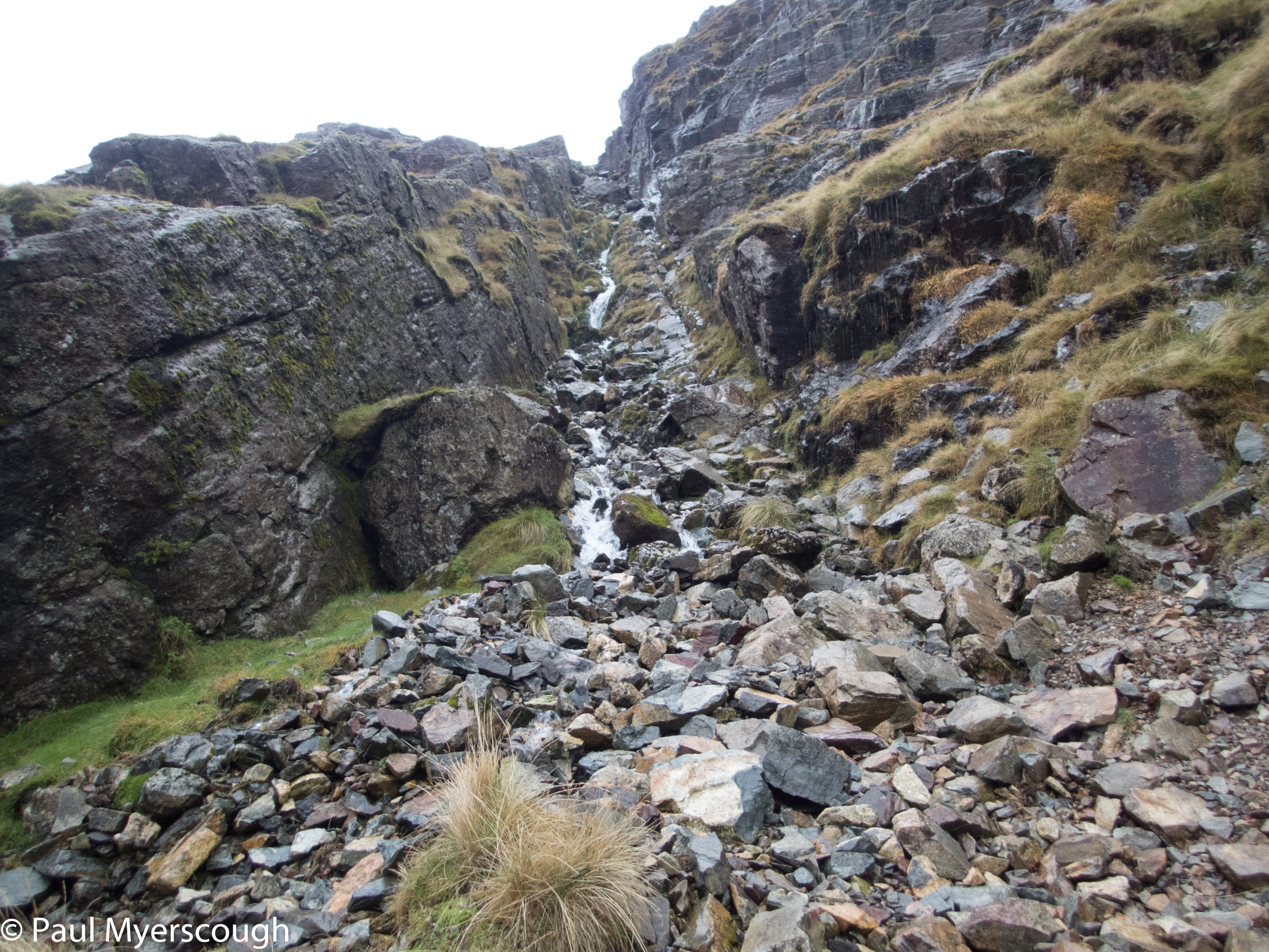
This tarn seems to get smaller year by year. From here a slope of scree and stones leads up to the ridge, where once again I was on top of Scafell in cloud and rain – in fact today it was hail.
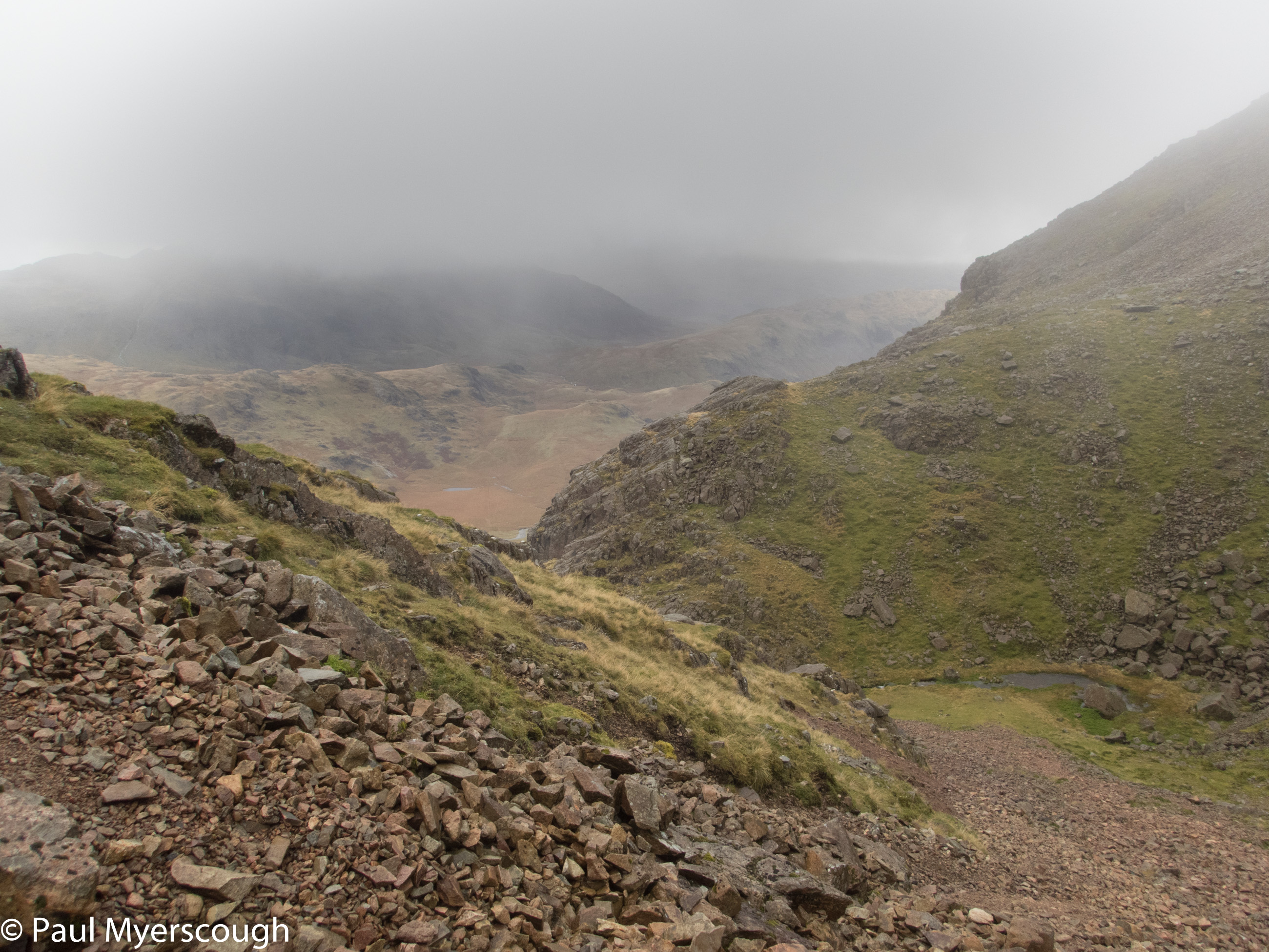
I was heading next to Burnmoor Tarn en route for Boot in Eskdale. On the OS map there’s a clear path west from the summit that descends to Burnmoor. Unfortunately what is clear on the map is not always so on the ground, and my trajectory took me a bit south of the path providing me with the challenge of cross Hardrigg Gill when I reached the bottom.
Here I spotted the first person of the day who seemed to materialise out of nowhere and strangely, seemed to be reversing my route – crossing the Gill a little further up, then zig-zagging up the hillside.
This area is known as Eskdale Moor and as I got closer to the village of Boot more and more people appeared. While the awkwardly stoney path down the valley has been the same for years the part away from the fell looks all very pretty, well maintained, with many brand new signs. A long way from how it figures in my memory from the 1960s.
I had planned a gathering here earlier in the year which was cancelled because of the Covid-19 pandemic and I wanted to see some of what we were missing. Esk View was a guest house in the 60s where I stayed with my family. In 2020 I’d rented the whole place in order to share some of my memories with family and friends.
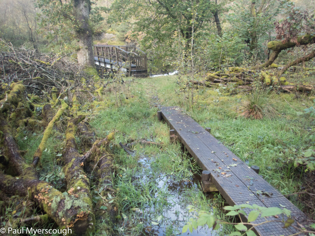
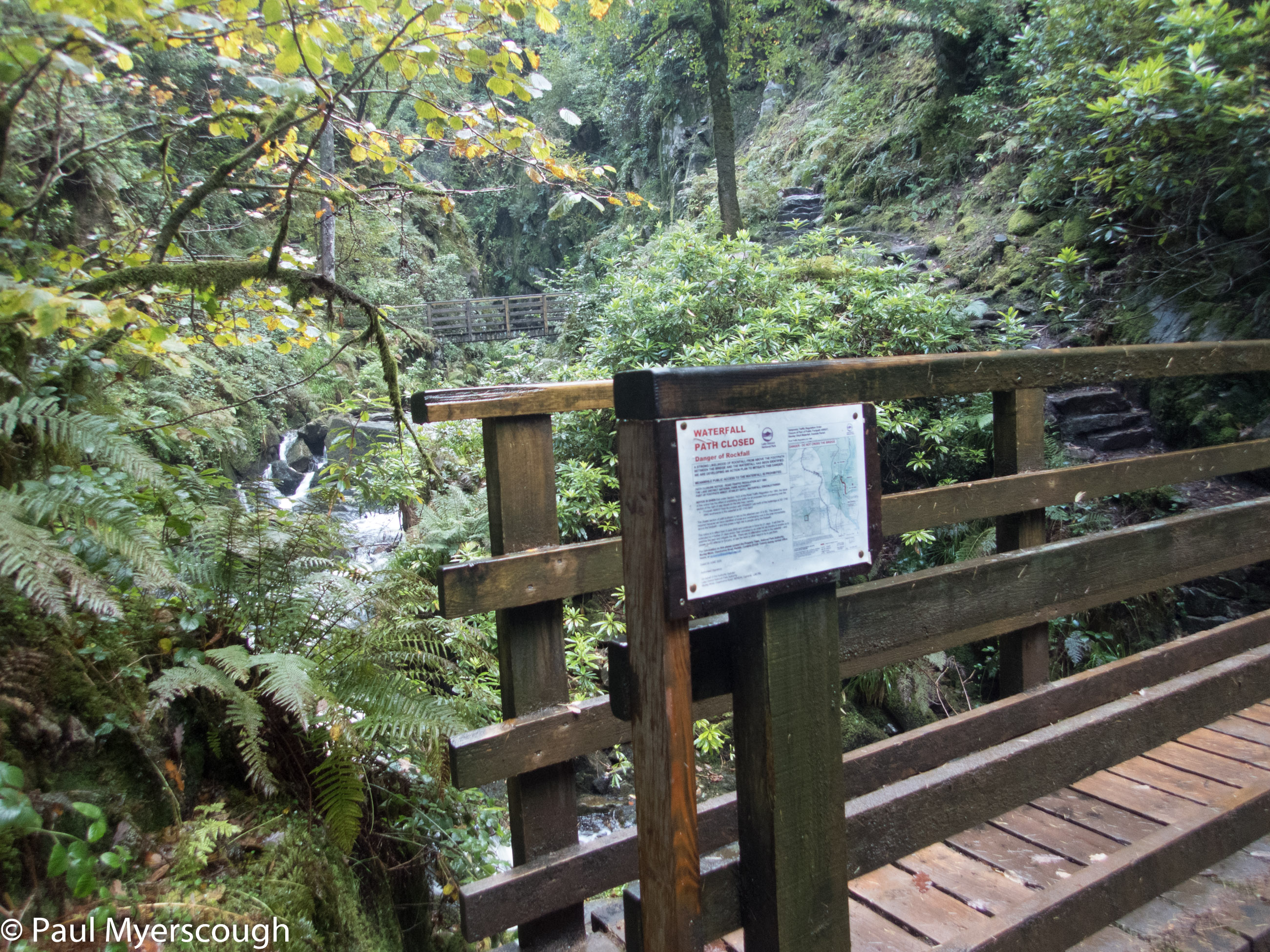
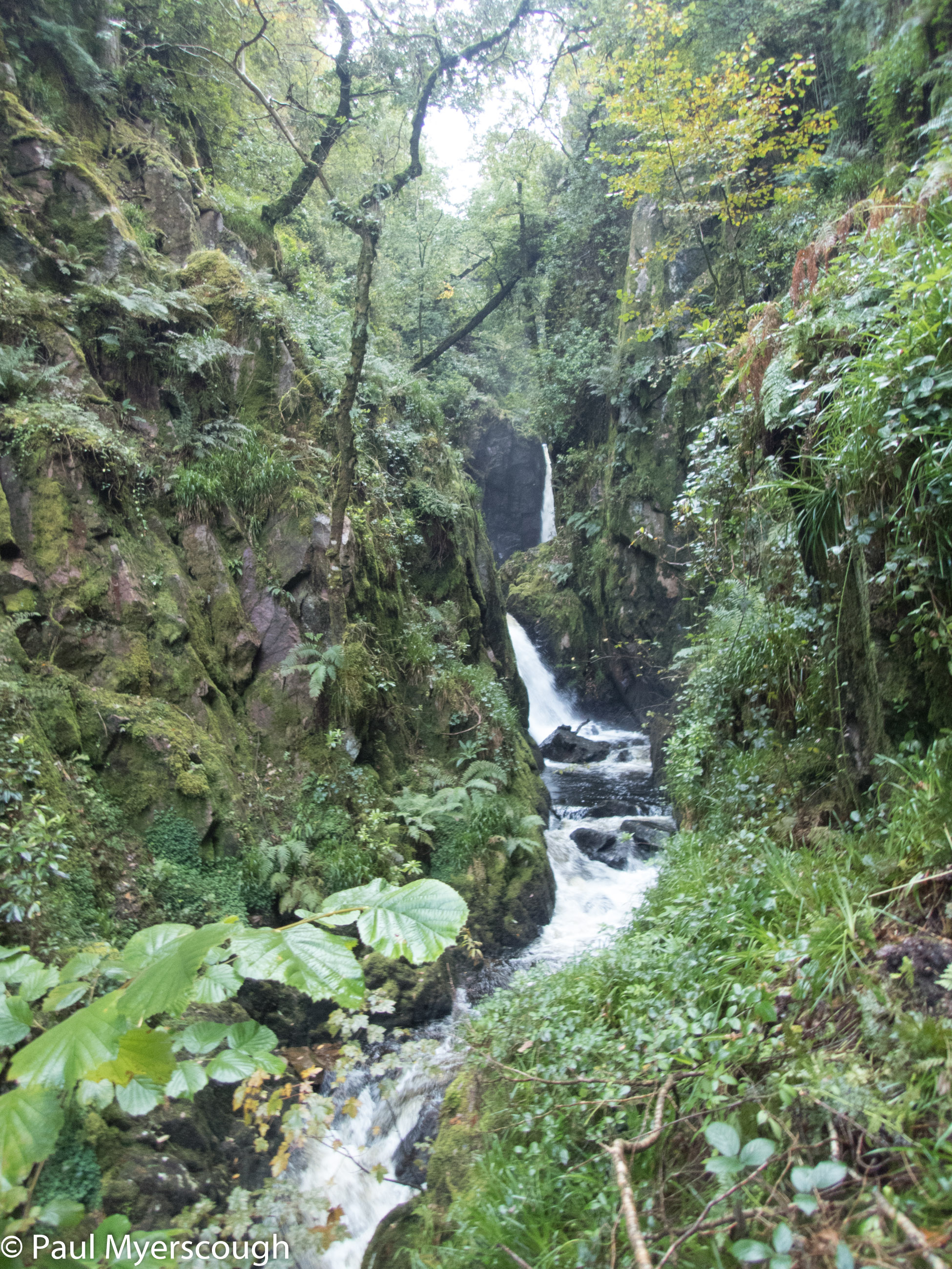
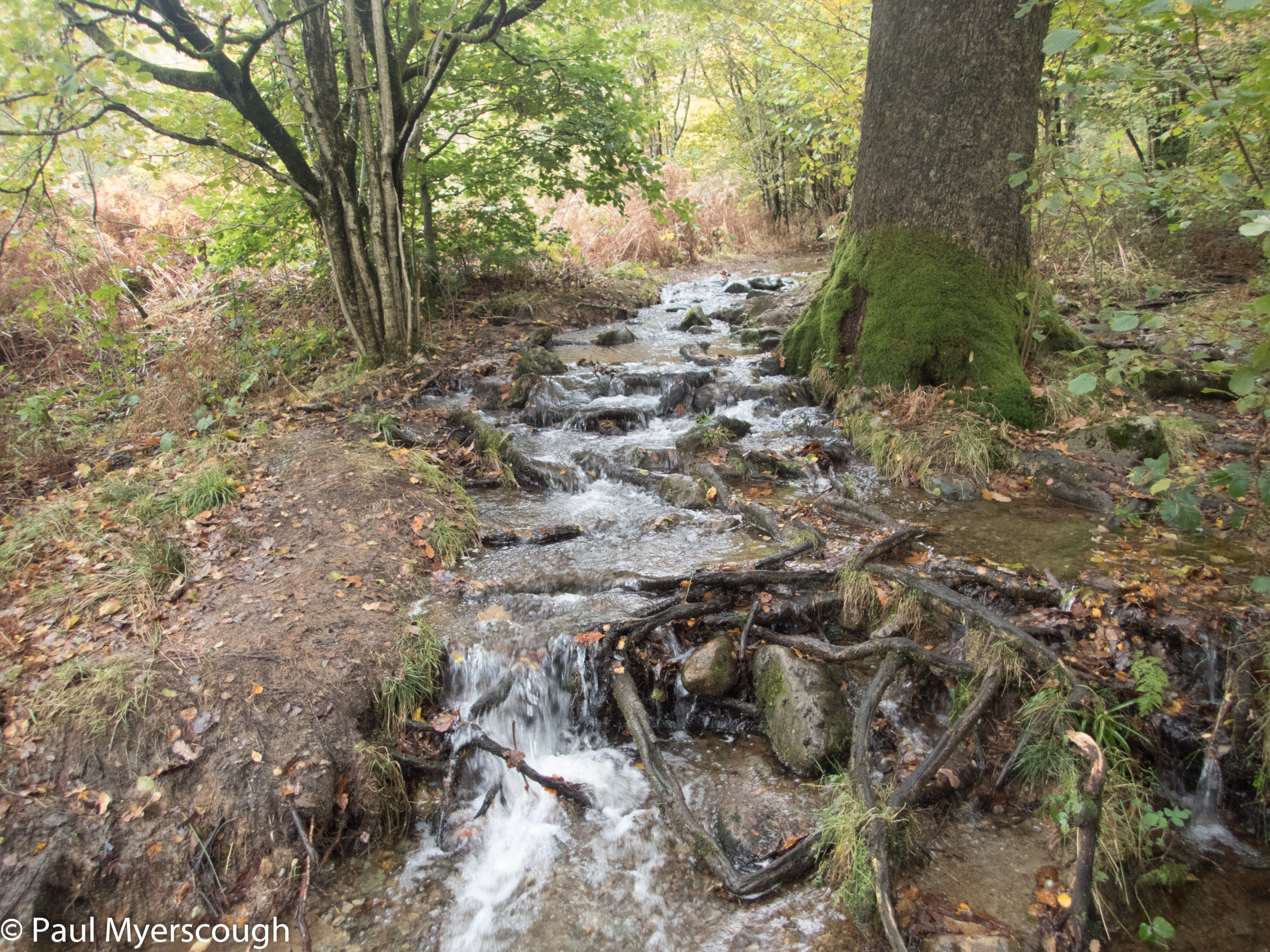
After admiring the many new signs pointing in all directions and the smart barn conversions I headed up to a wilder spot for the night. There’s been an attempt to rename Stanley Force to Dalegarth Waterfall. Whatever its name, the path up there through woodland along the steep beck remains quite special. This time the view-point for the falls was fenced off as too dangerous because of loose rock and I diverted out of the gully and up onto the open fell.
I intended to camp near Devoke Water, but on the way I was tempted by level ground in a small plantation near a stream. It was a good time to stop.
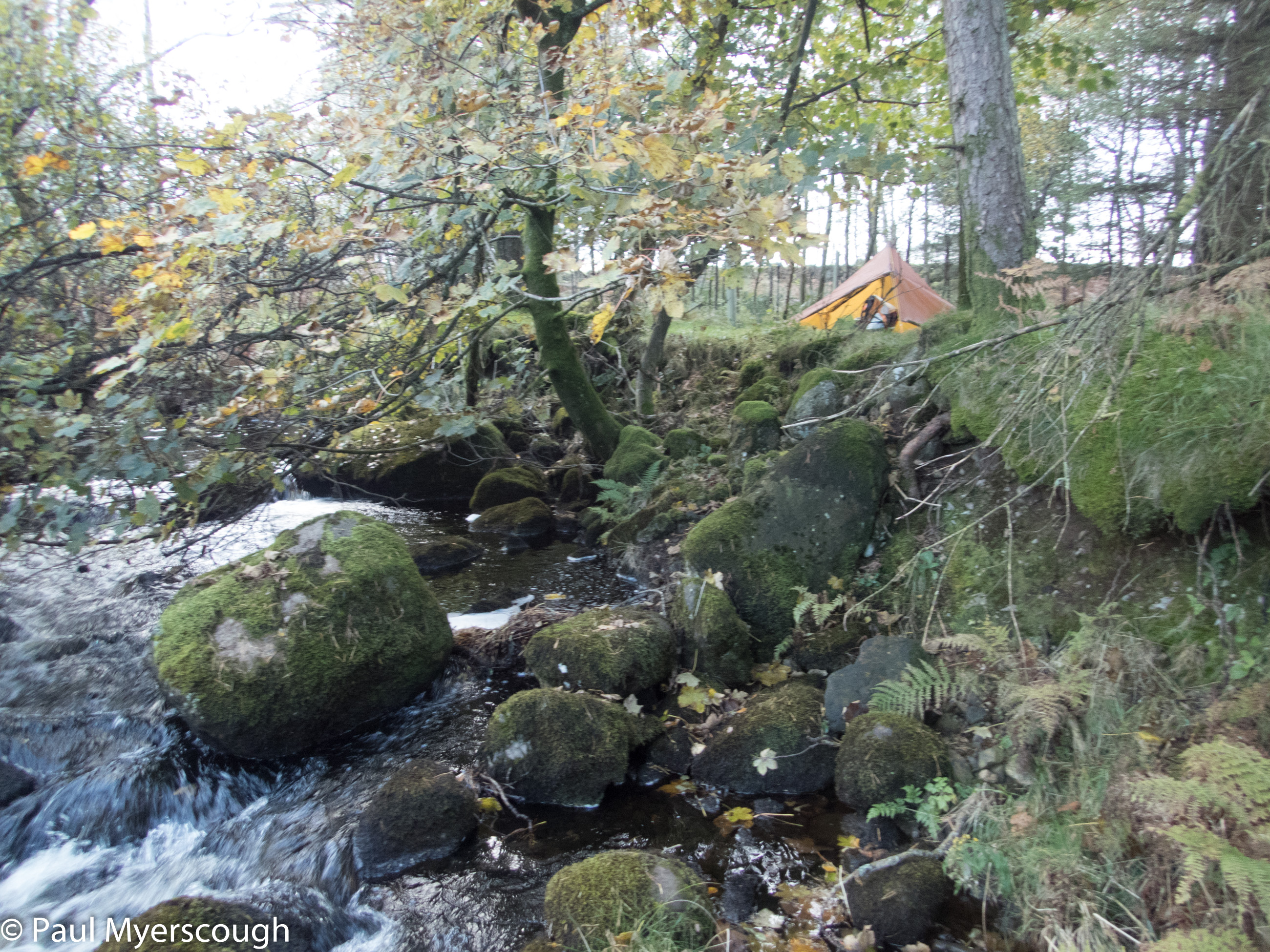
The night rain had stopped by daylight and I packed the wet tent for the last time this trip.
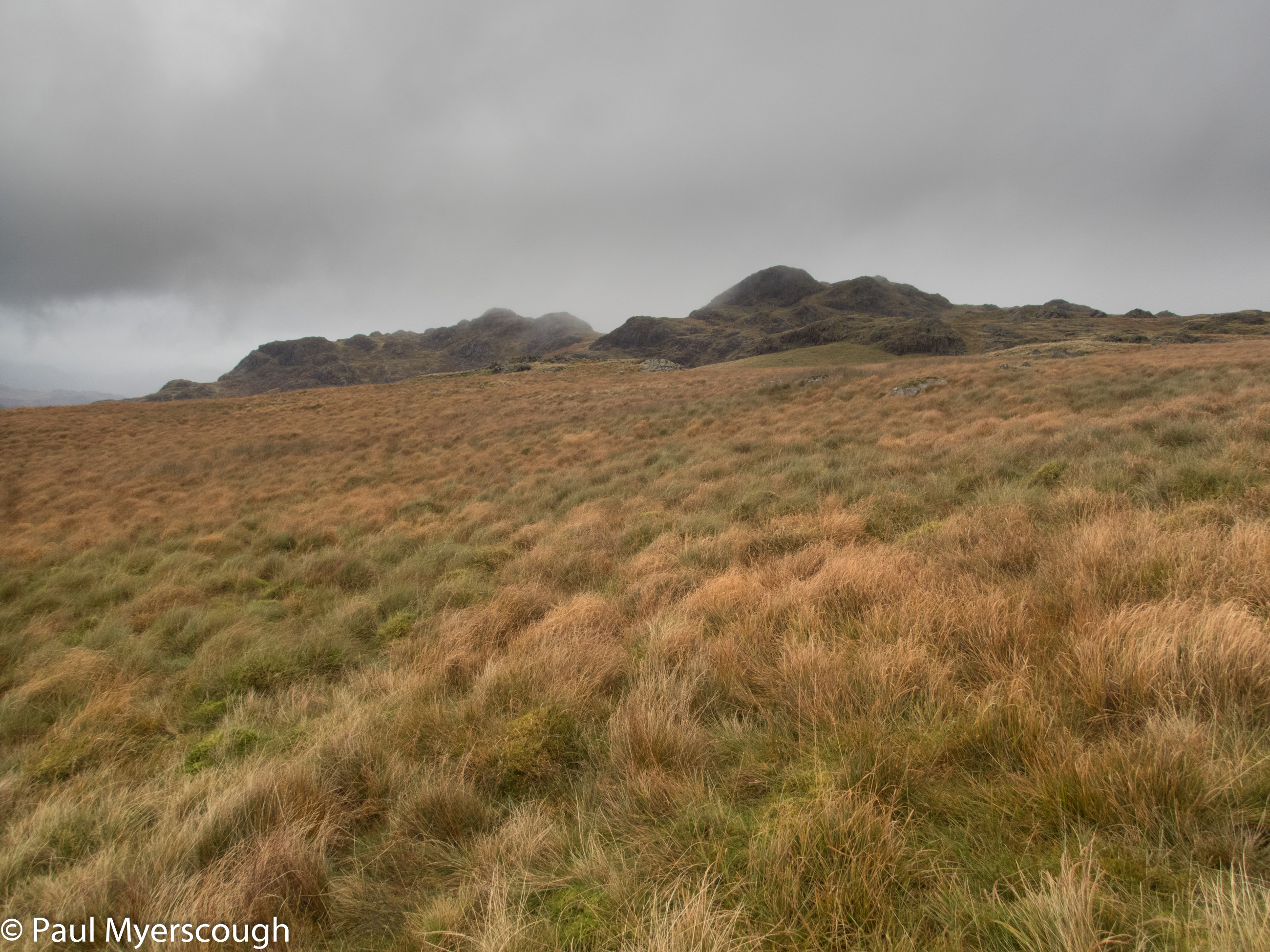
I was heading to a small top, Green Crag, which seemed to have paths from the north and from the east. For me on the west side it was cross-country line-of-sight navigation. Without seeing a soul I worked my way up to the craggy top. Cloud swirled around. In a gap to the east I could see two tiny figures on a path heading my way. To the north-west the coast where the breakers made a gleaming white line, it looked as if the sunshine over there would blow towards me with the west wind.
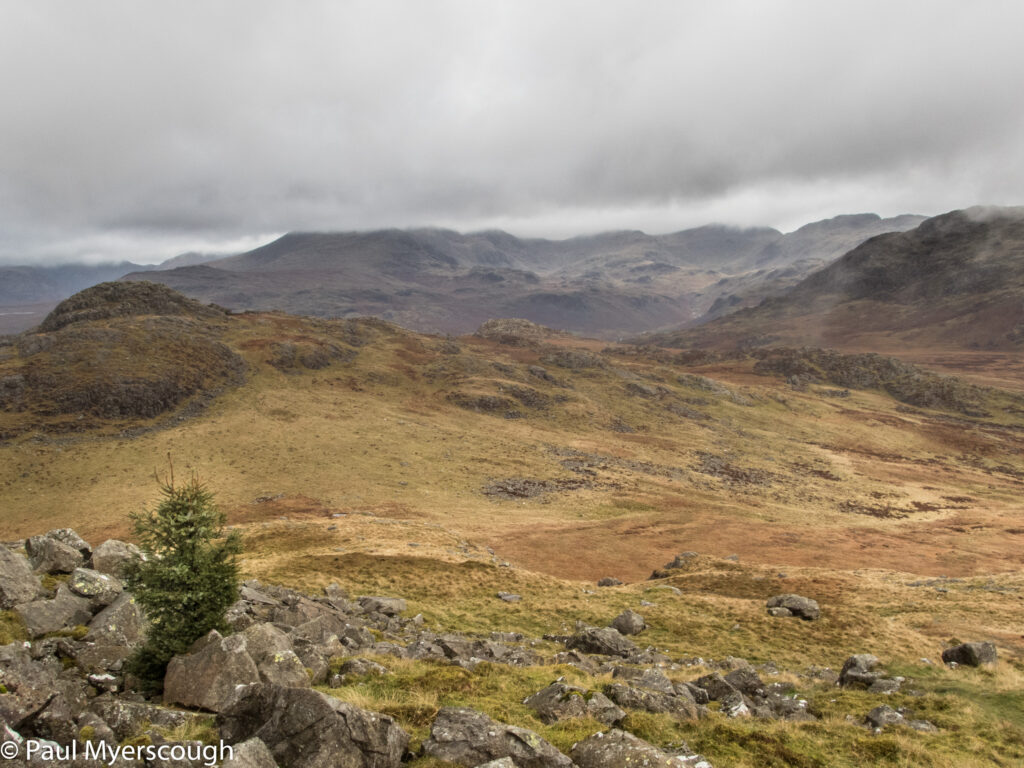
I gave it 10 minutes to clear. Within that time the distant figures arrived to join me. The cloud parted, but did not disappear. The view is splendid – with sea in 3 directions and the rest of the panorama encompassing many of the western fells of the Lake District. From another path a runner appears. And then the gentlemen that features in my panorama movie:- a Wainright bagger who had his camper van parked at the Woolpack Inn in Eskdale.
Now 30 minutes past my deadline, and the chatter distracting from my enjoyment of the environment, it was time to move on. In the distance was Grassguards Gill, a nicely named beck with a path alongside leading down to the Duddon Valley.
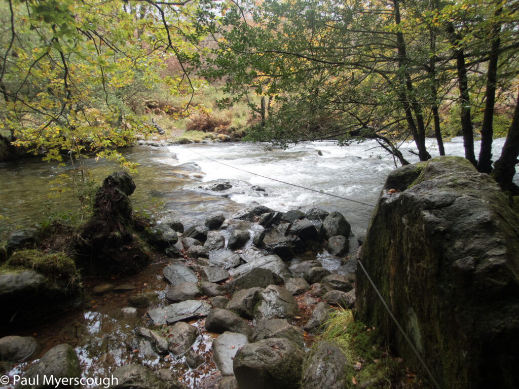
The stepping stones across the Duddon where the beck drains are supported with a wire rope to hold on when crossing. The big stones were 20 cms or so under the racing water, so it was an easy decision to take a more roundabout route following a path downstream to Seathwaite.
And suddenly lots of people once more. Most seem completely unbothered by the water underfoot.
There are more Lake District reports. For example look here!