Acharacle to Montrose the TGOC 2021 notes: days 4-6
[Viewing the blog – in case you hadn’t noticed pictures are zoomable if you click on them. Maps can be pulled and pushed to follow the route in blue. Maps can also be zoomed in and out and viewed full-screen.]
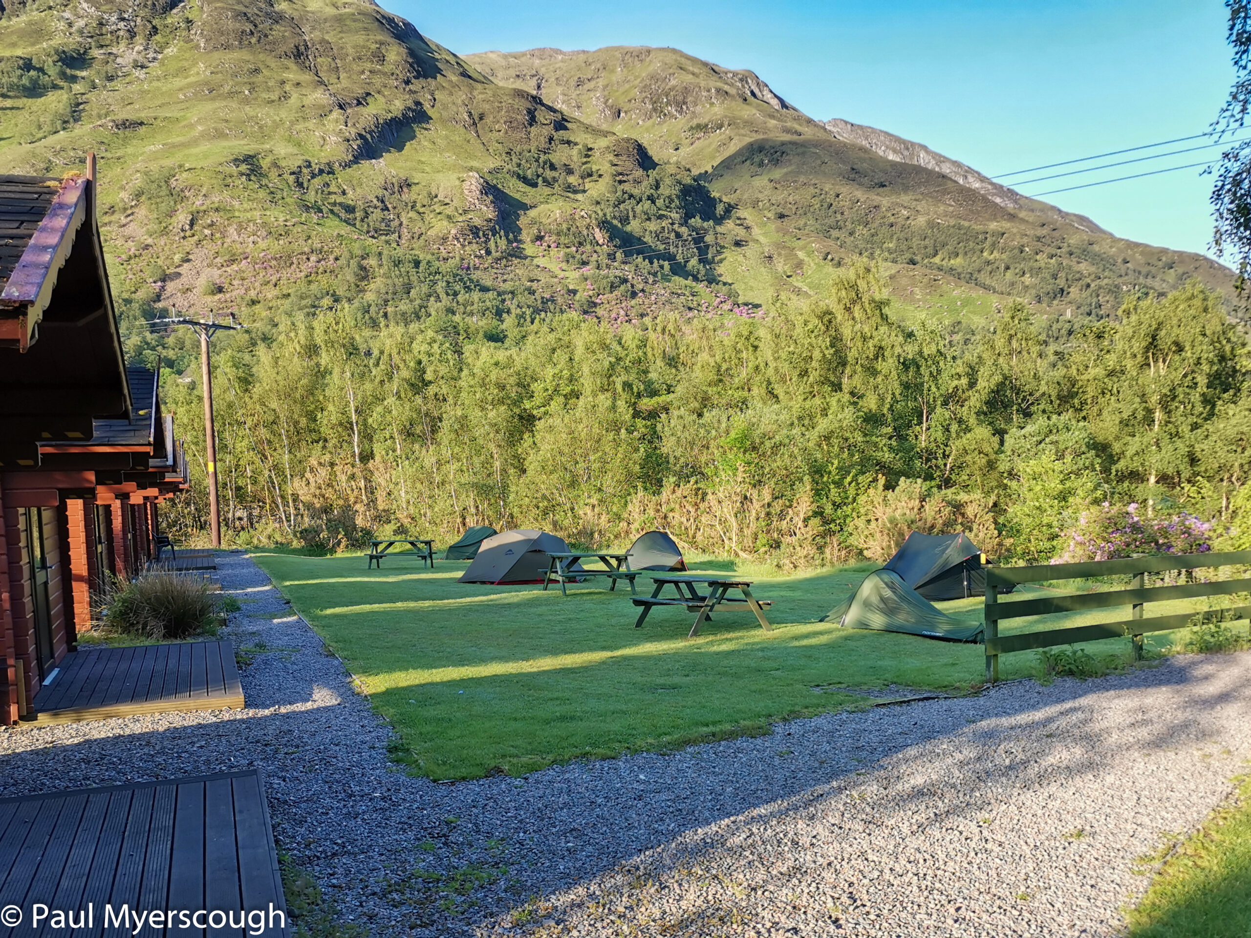
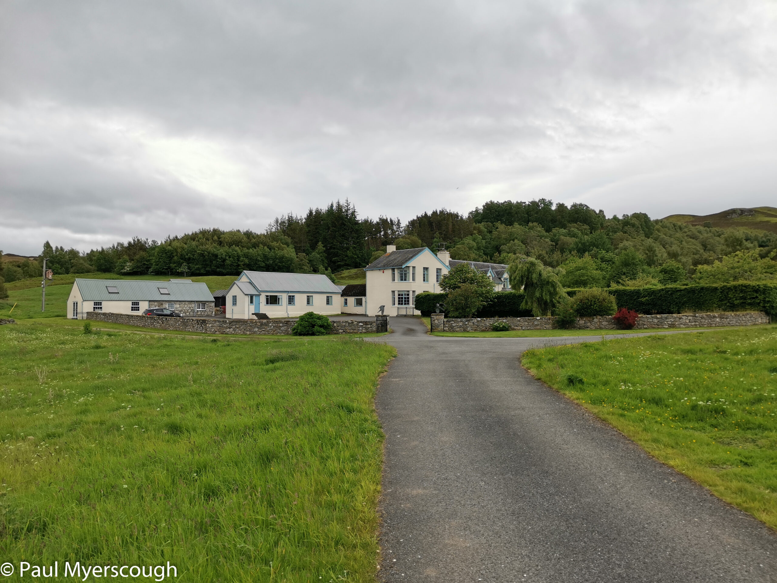
The Macdonald hotel makes a pleasant stop. It is on the edge of town, exactly where the West Highland Way northbound leaves the road for the hills, and looks over the loch to the west. The camping area is limited – some flat grass surrounded by small wooden cabins. I sensed midges again and upgraded my camping spot for a cabin. A comfortable night for me!
My TGO compadres were going east through the valleys toward Dalwhinnie. So in the morning I headed alone to the Mamores.
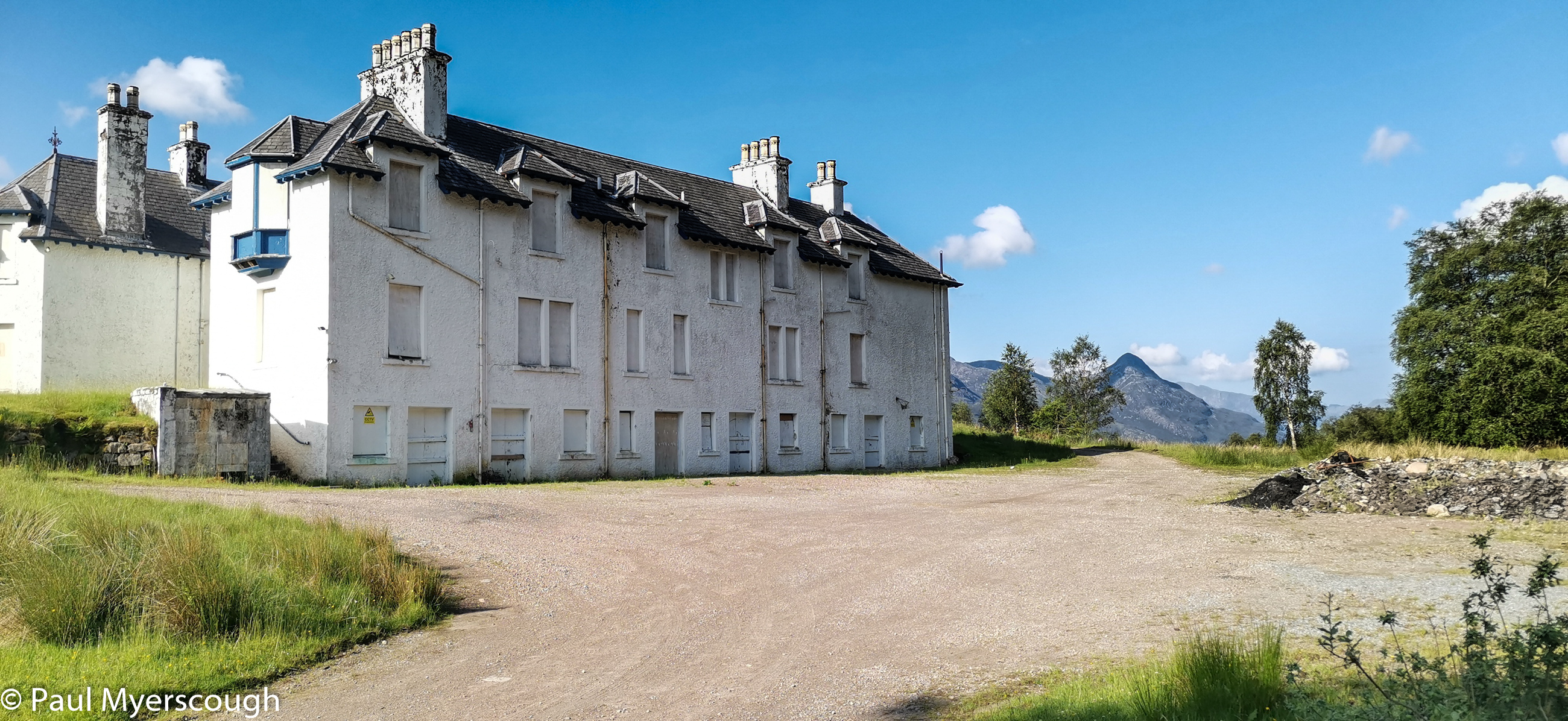
Mamore Lodge is one of those spooky highland residences with all the windows blanked out. A little beyond, the road ends at the stalkers cottage – still in use – and then the open countryside with not a walker in site.
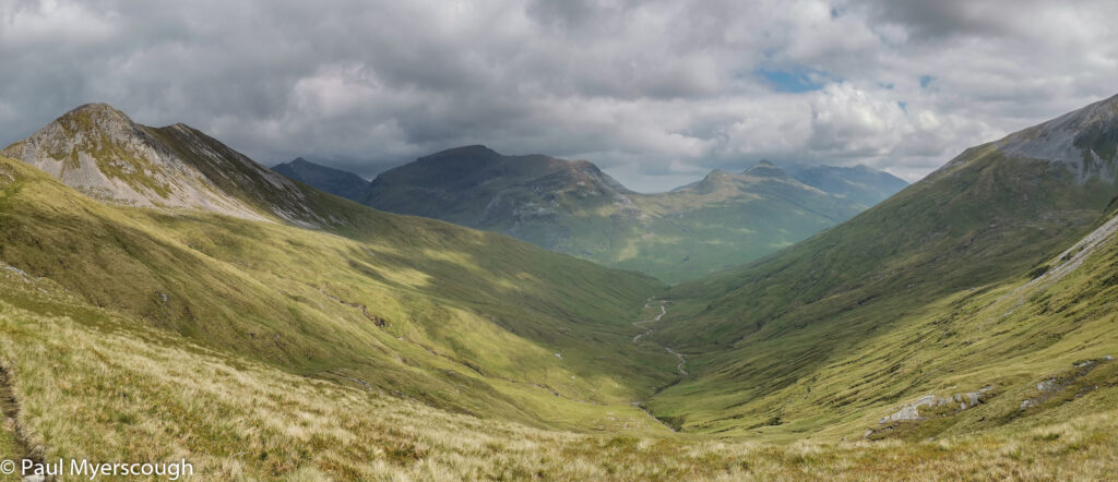
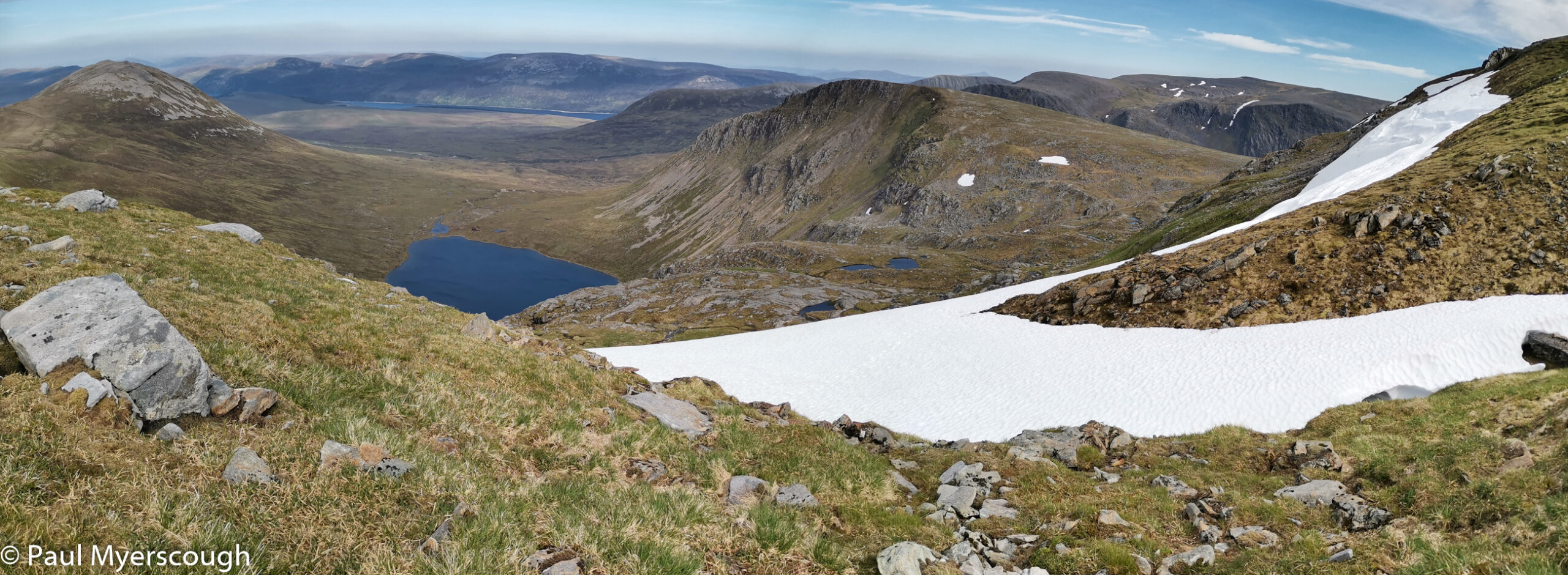
There’s a fine path leading to the ridge from where I could see a fast traveller following my footsteps below. This group of mountains is quite compact and the views of nearby hills and ridges is spectacular.
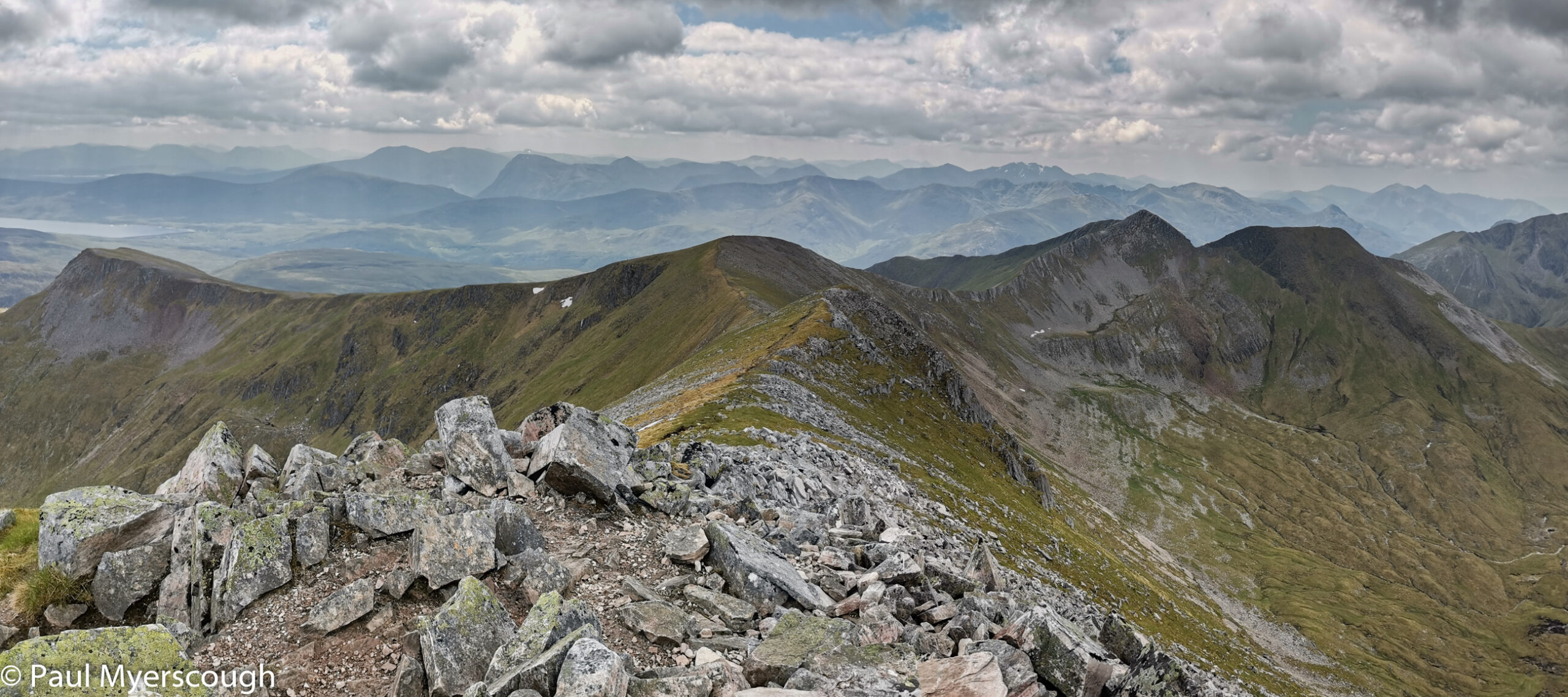
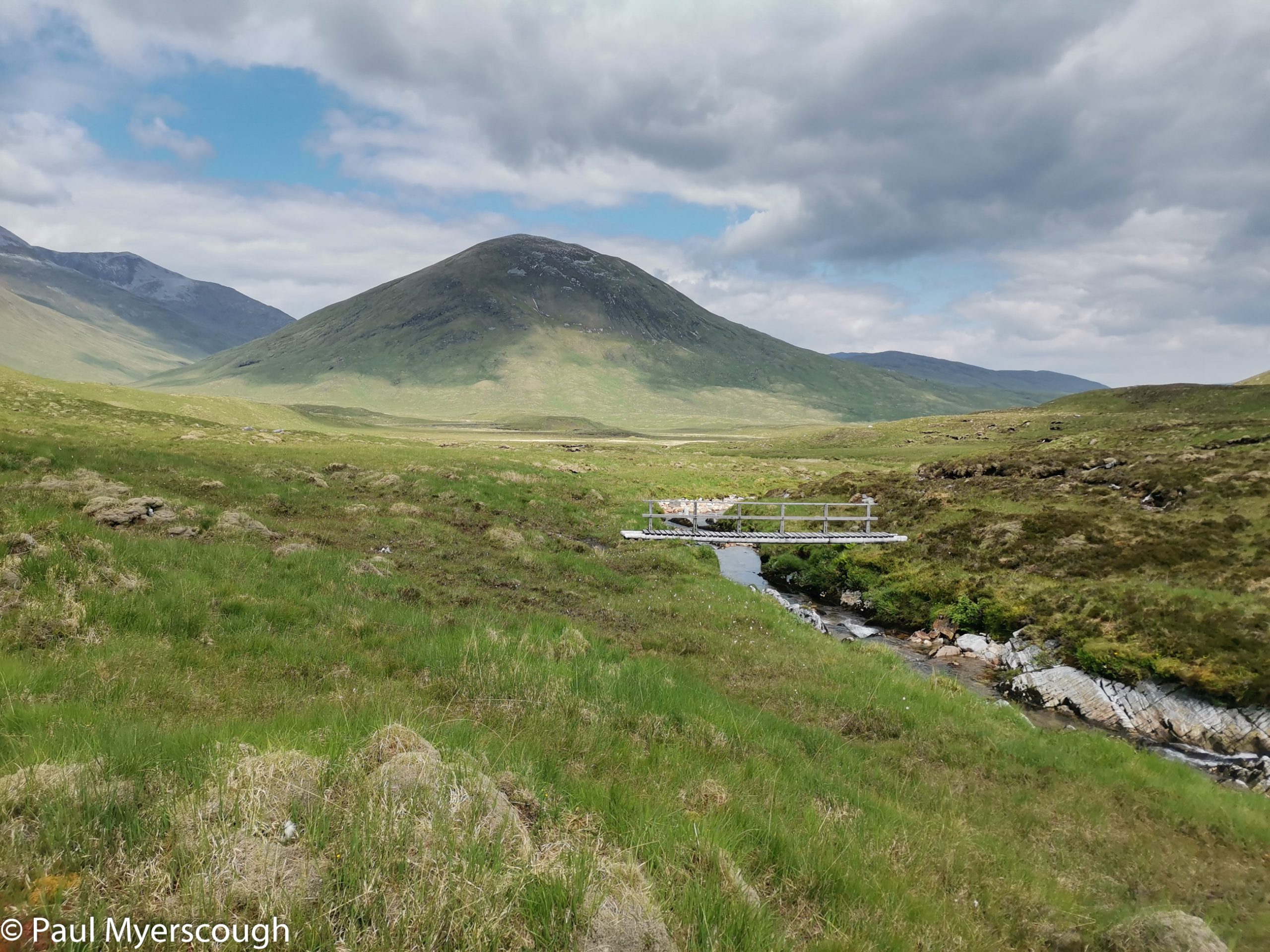
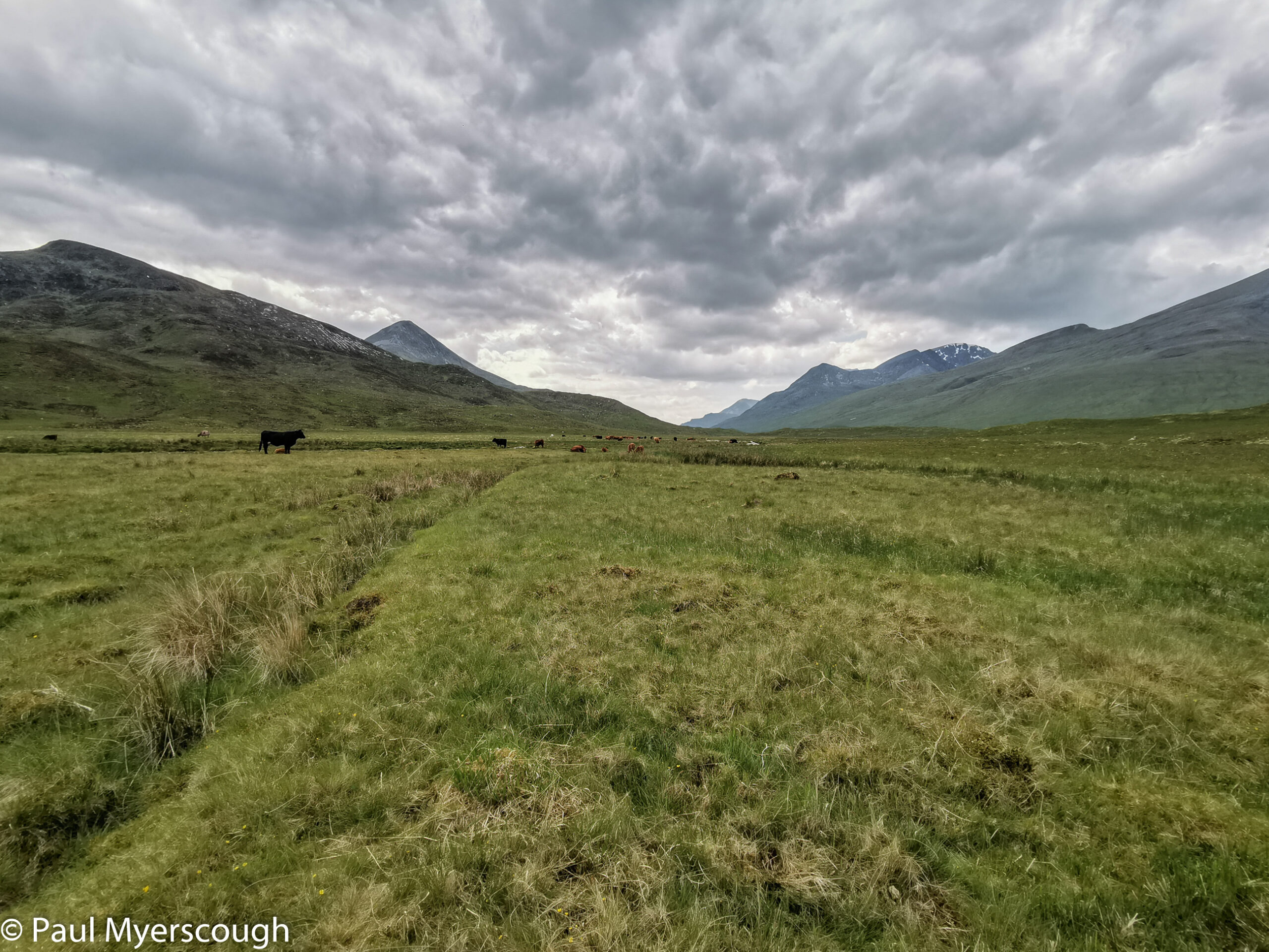
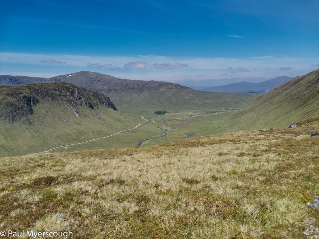
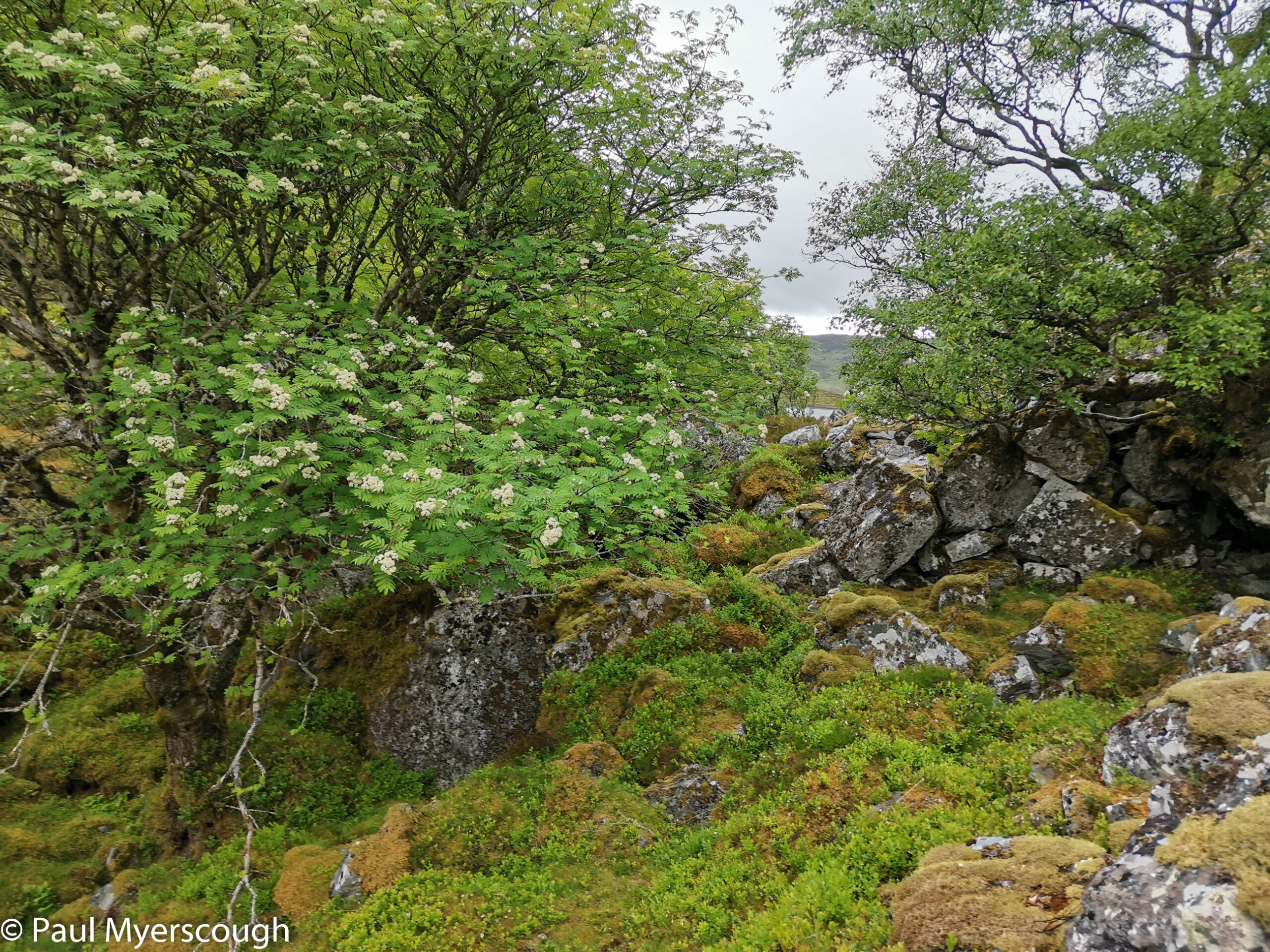
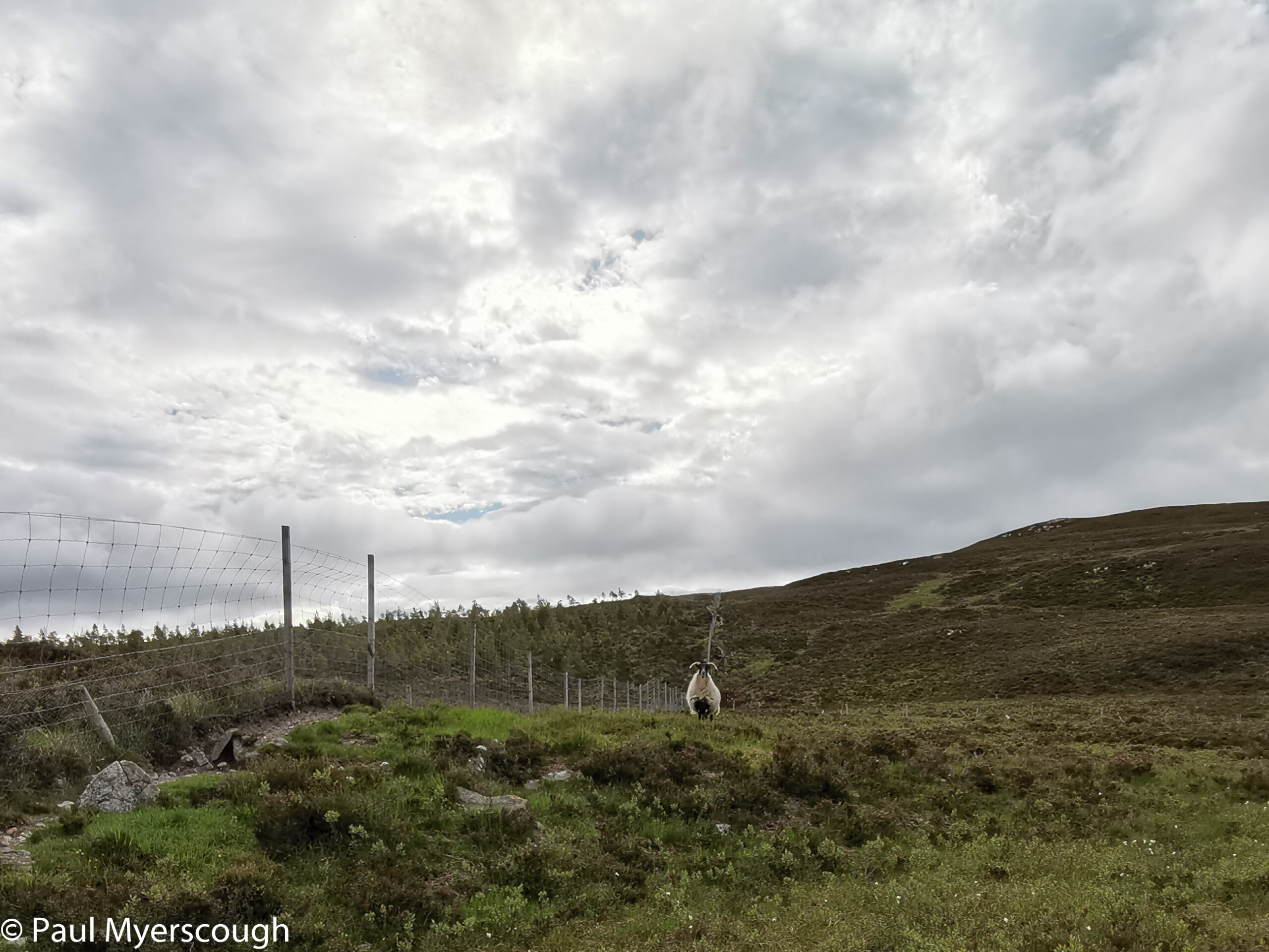
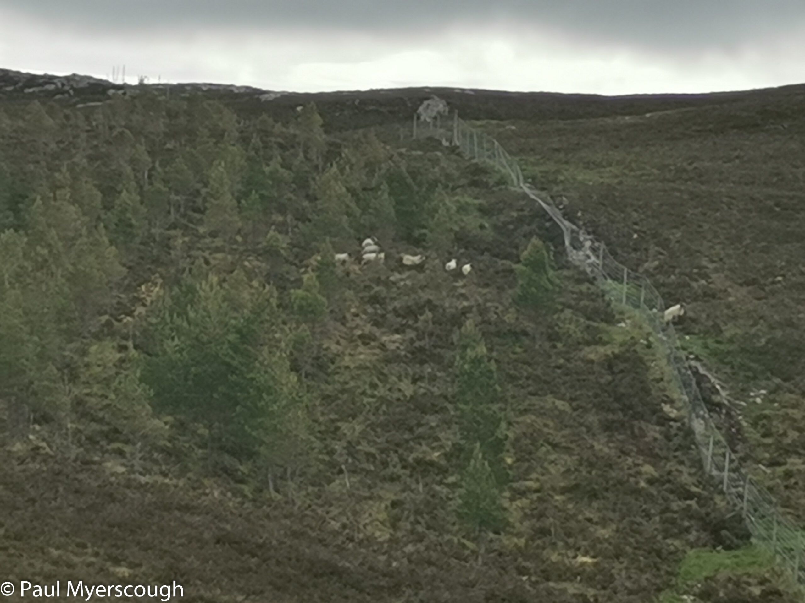
I dropped down to the glen on the north side overlooked by a brooding Ben Nevis whose diminishing prospect would follow me for some hours as I travelled eastwards. Waters of Nevis leads into Abhainn Rath which drains into Loch Treig over 11km or so. This is the first time I have seen cattle in this valley; they have walked every bit of path and made some pleasant walking distinctly uncomfortable.
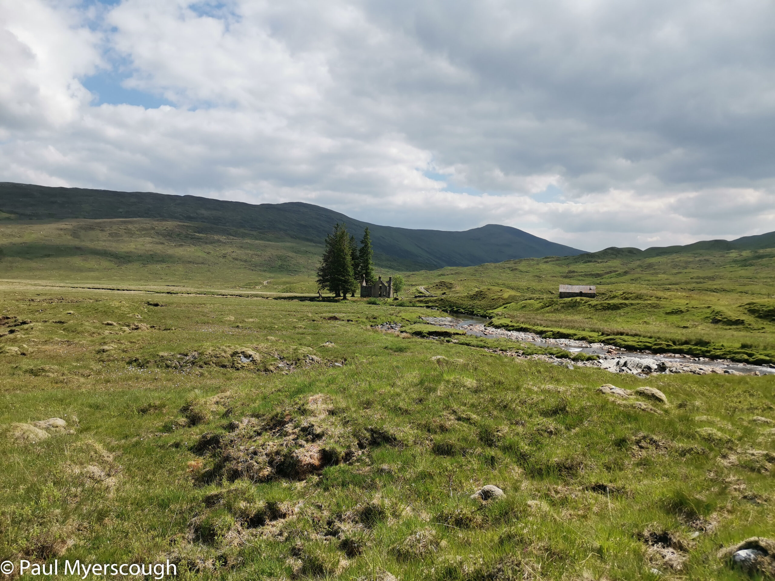
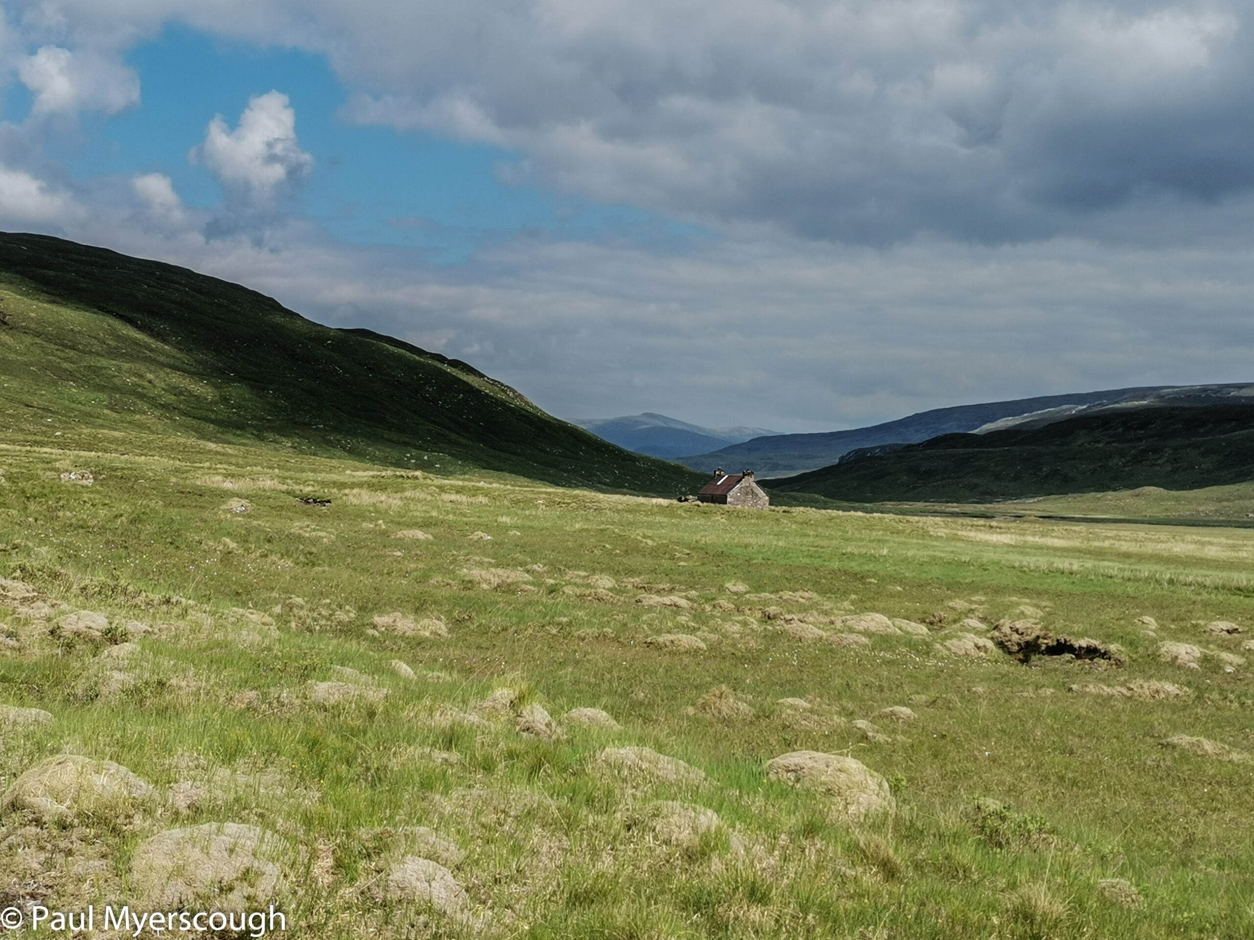
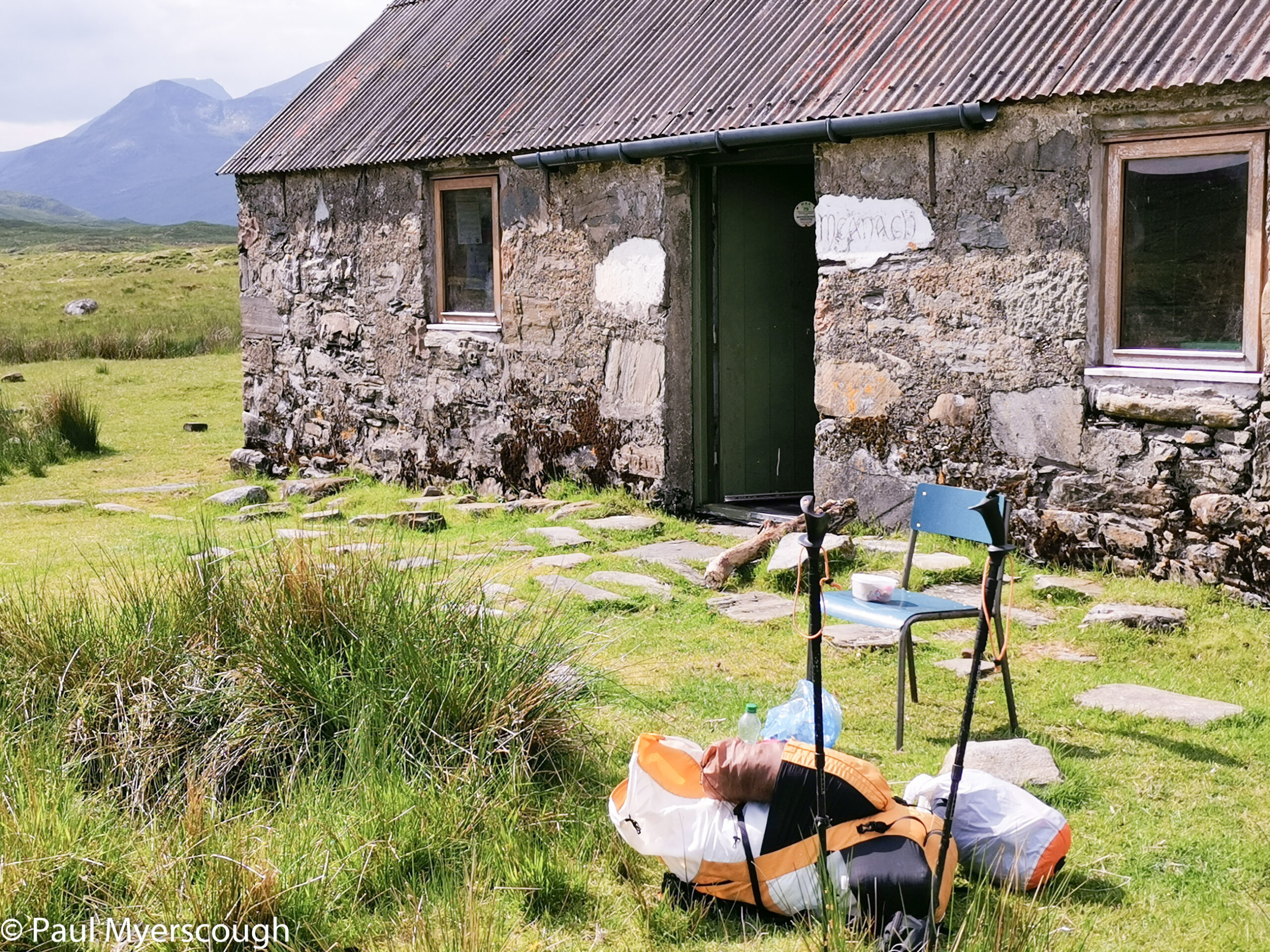
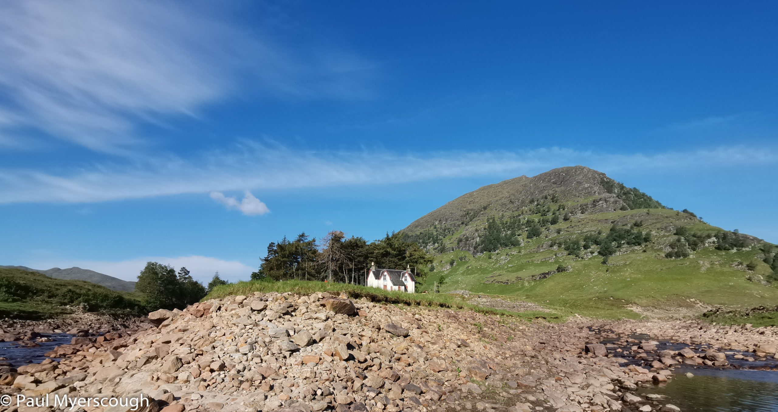
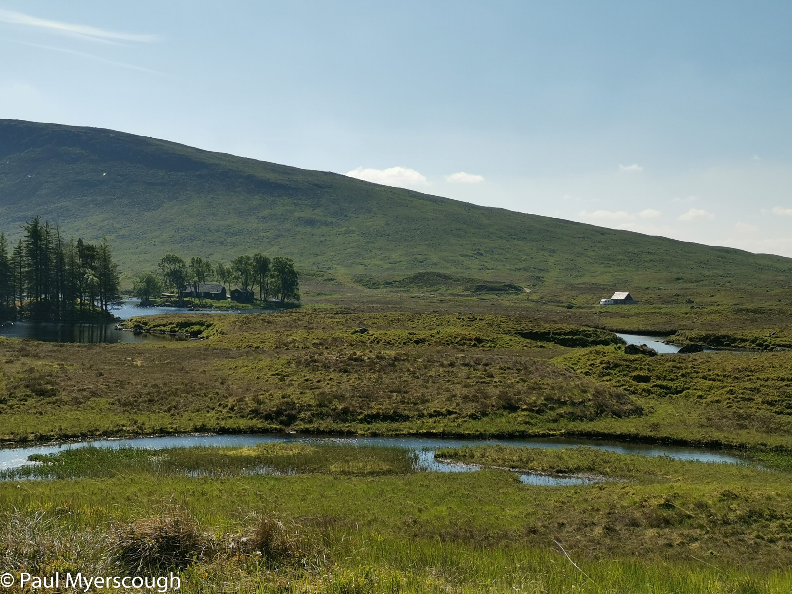
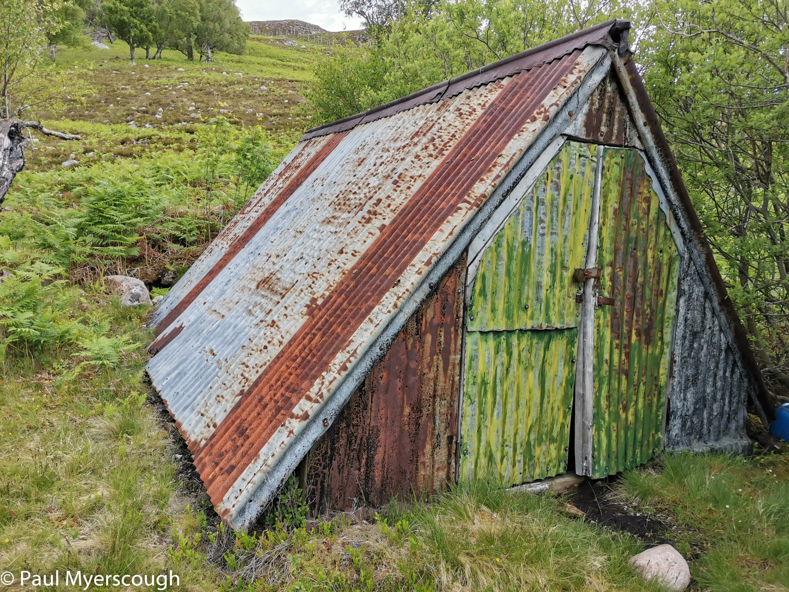
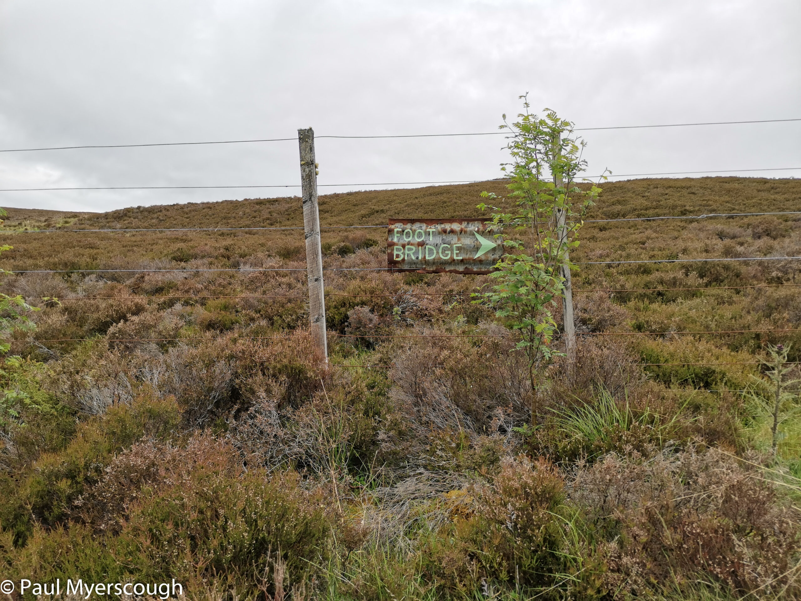
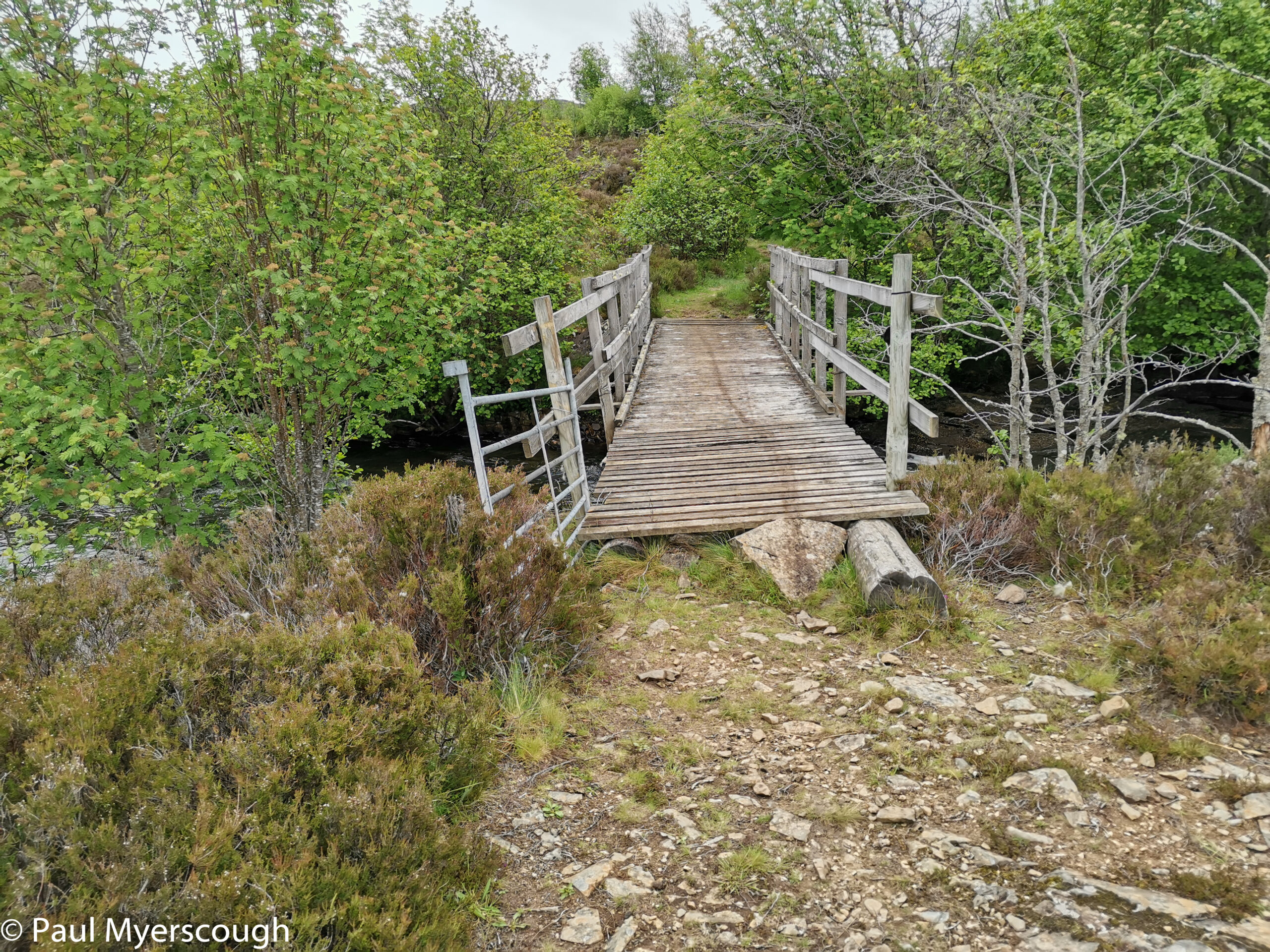
At the mid point is the distinctive landmark Luibeilt an abandoned building with a small group of pine trees. On the opposite north side of the river is the path with Meanach bothy, deserted today, but good for a short rest sitting in the sun and supping a brew.
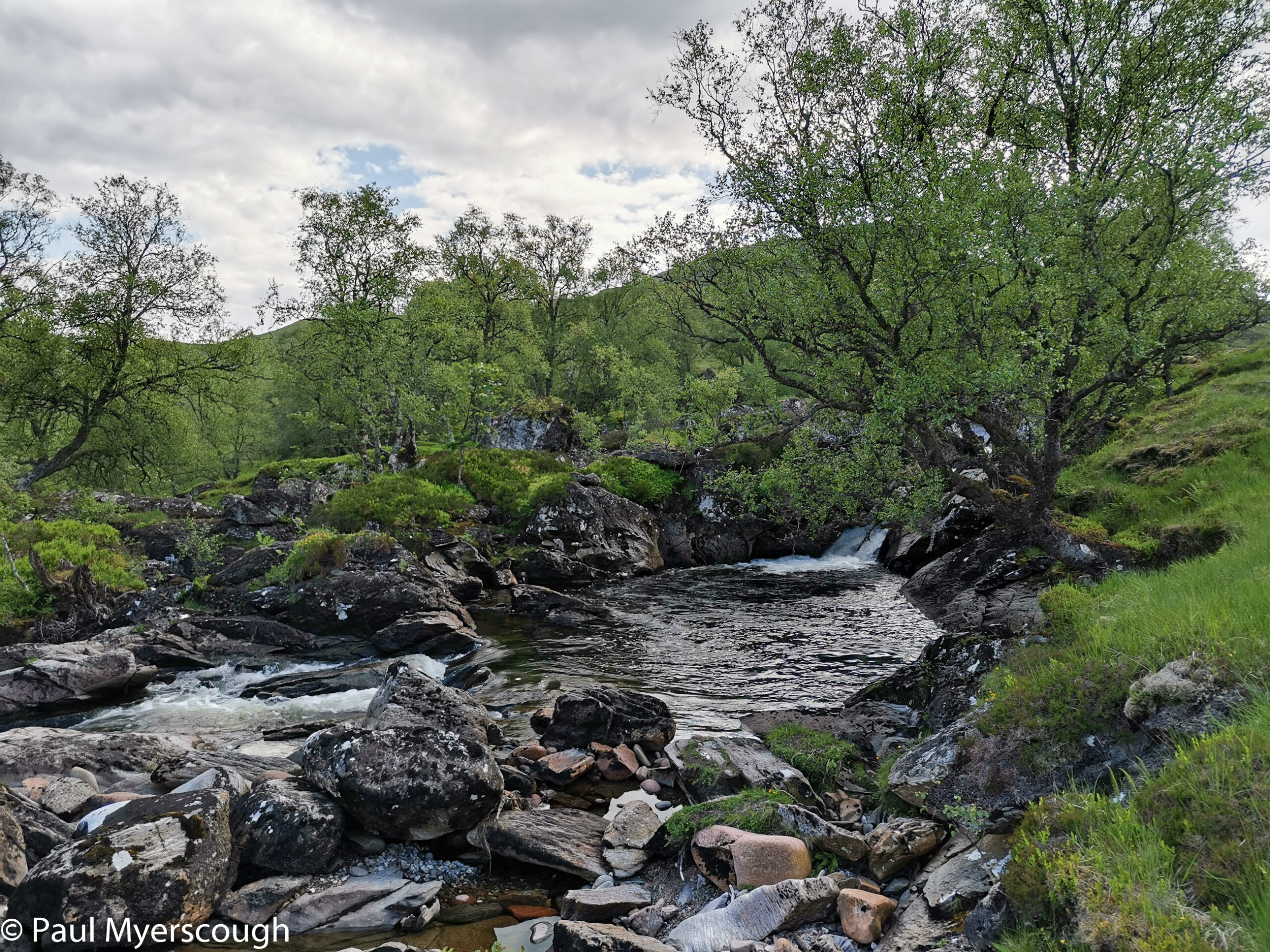
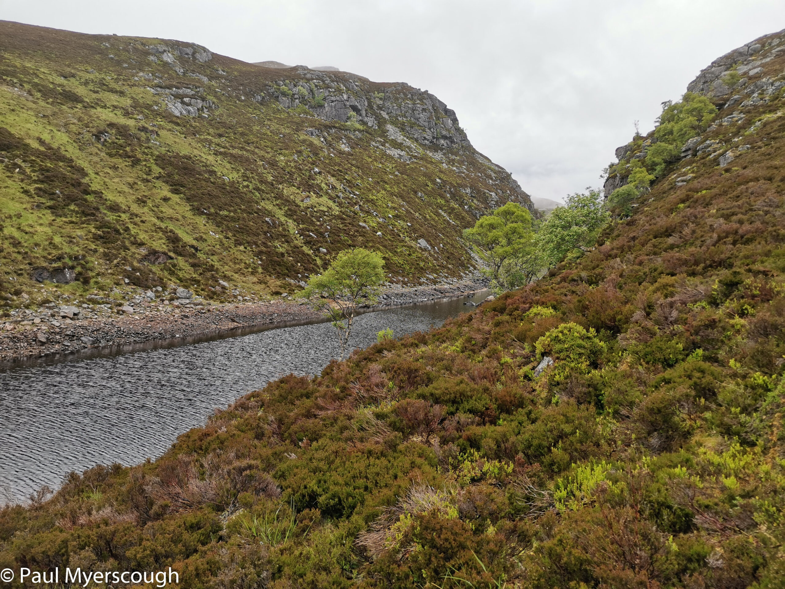
The river further east becomes more entertaining with wide pools and narrow rocky races. Bathing would be good, but I resist, anxious to reach my camp spot.
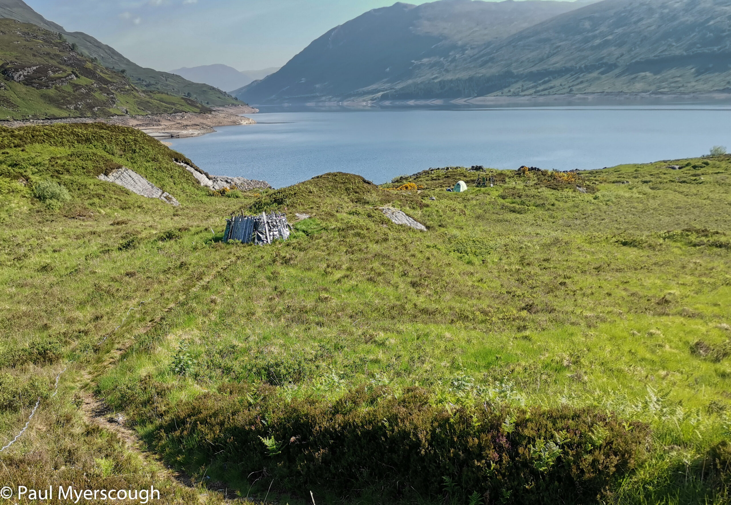
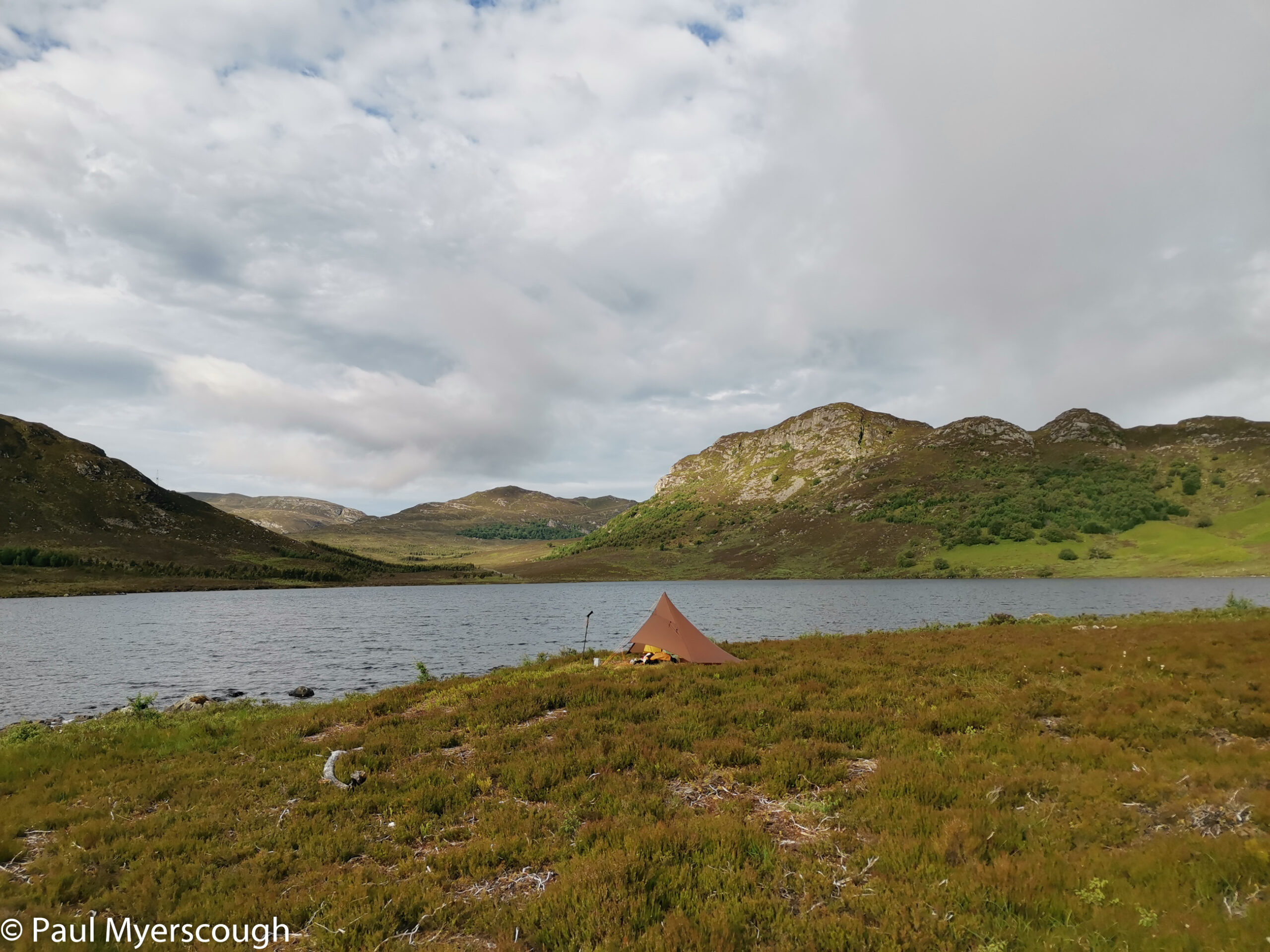
I planned a place where, some years ago, I’d met someone who claimed to had lived there for 6 months or so with his two tents strung with dead mice on the guy ropes. He took the train into Fort William regularly to collect his benefit. Would he still be there?
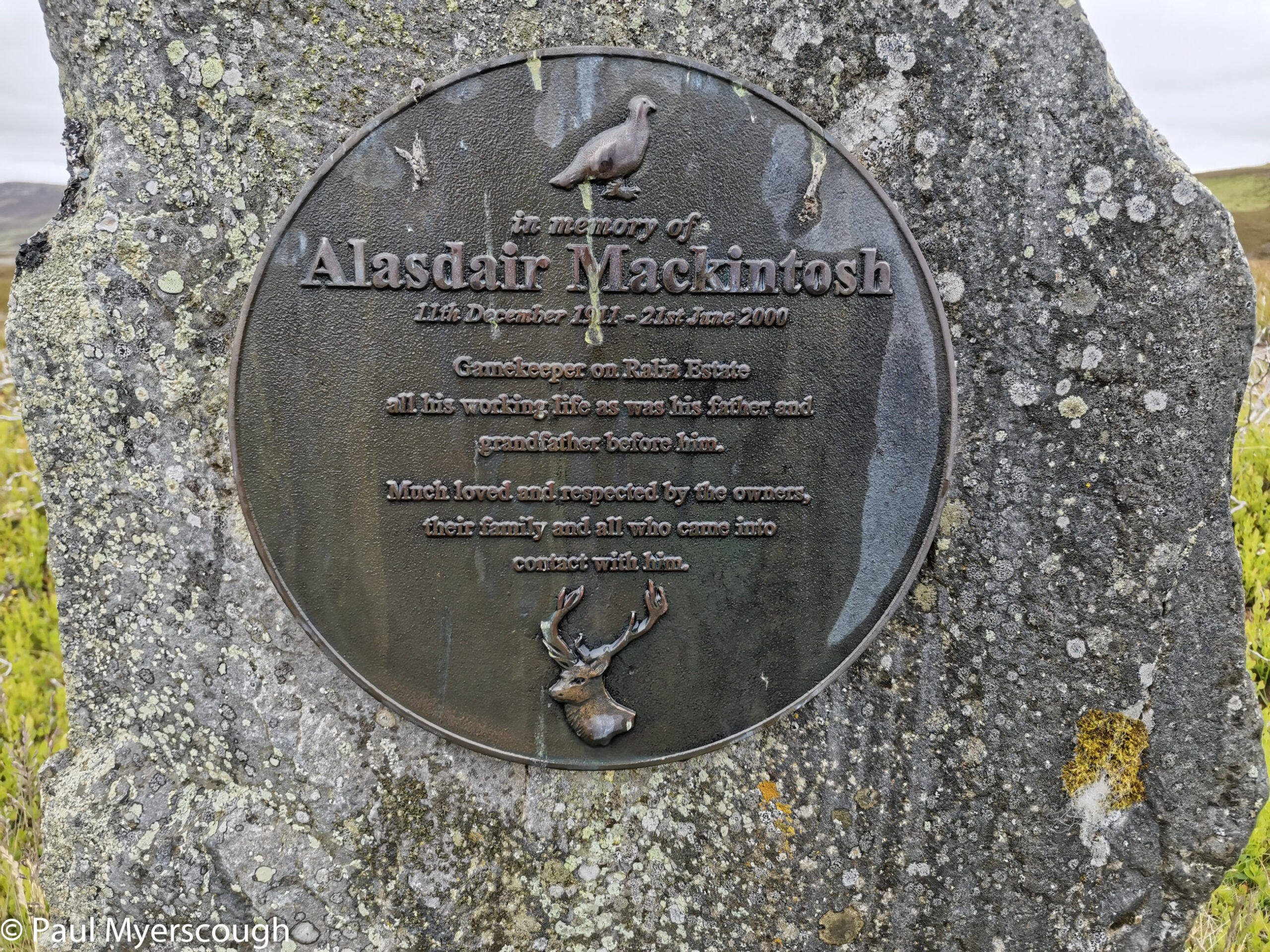
Well, of course things were different. The small lodge was boarded up and partly vandalised. A new small memorial had been added to the wall of the building. The plot was empty and I had time to choose my spot and pitch my tent and then re-pitch it without embarrassment when the wind direction changed. What should have been a peaceful sleep however was disrupted by noisy birds all through the night. Thanks goodness for earplugs!
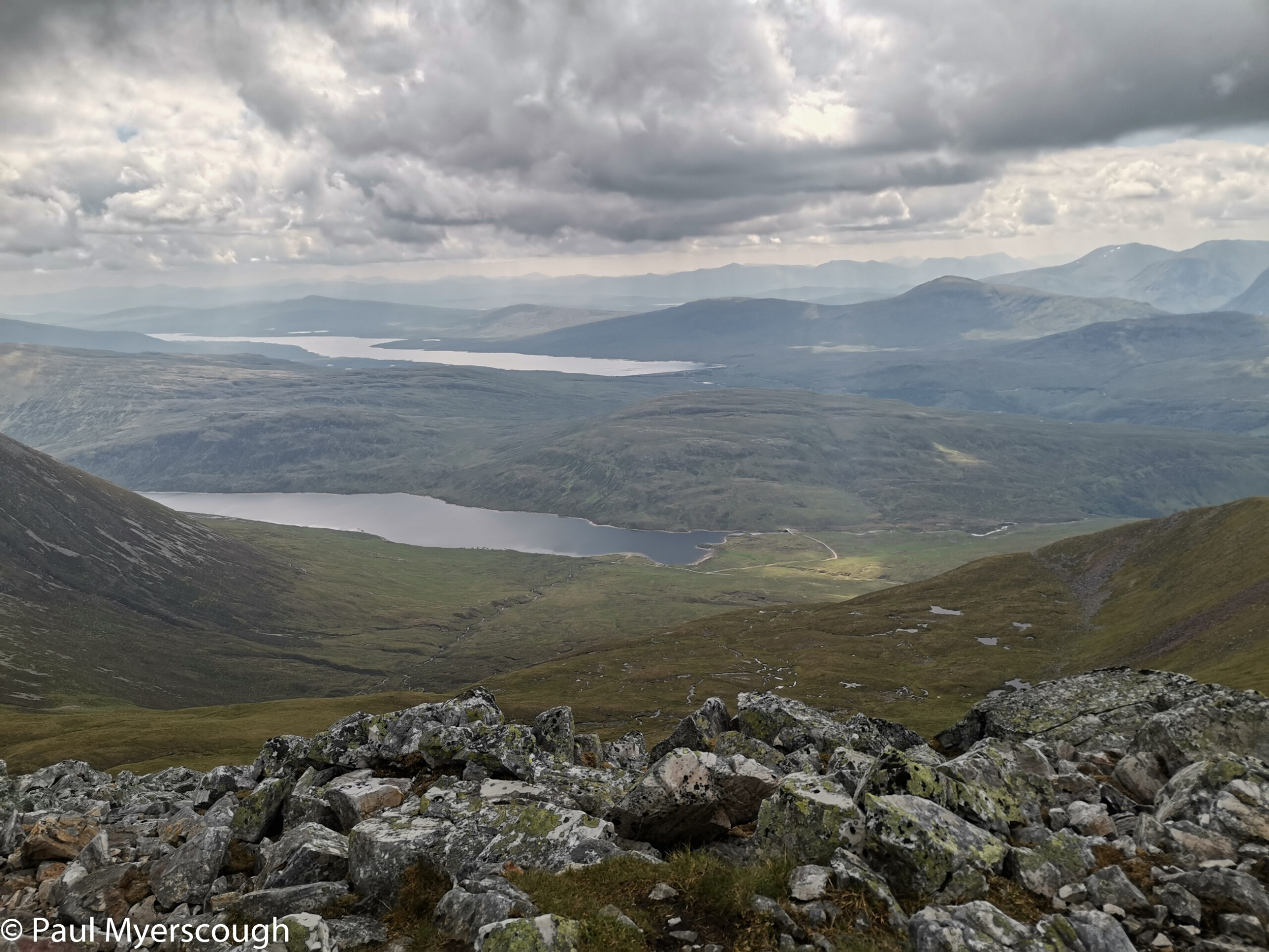
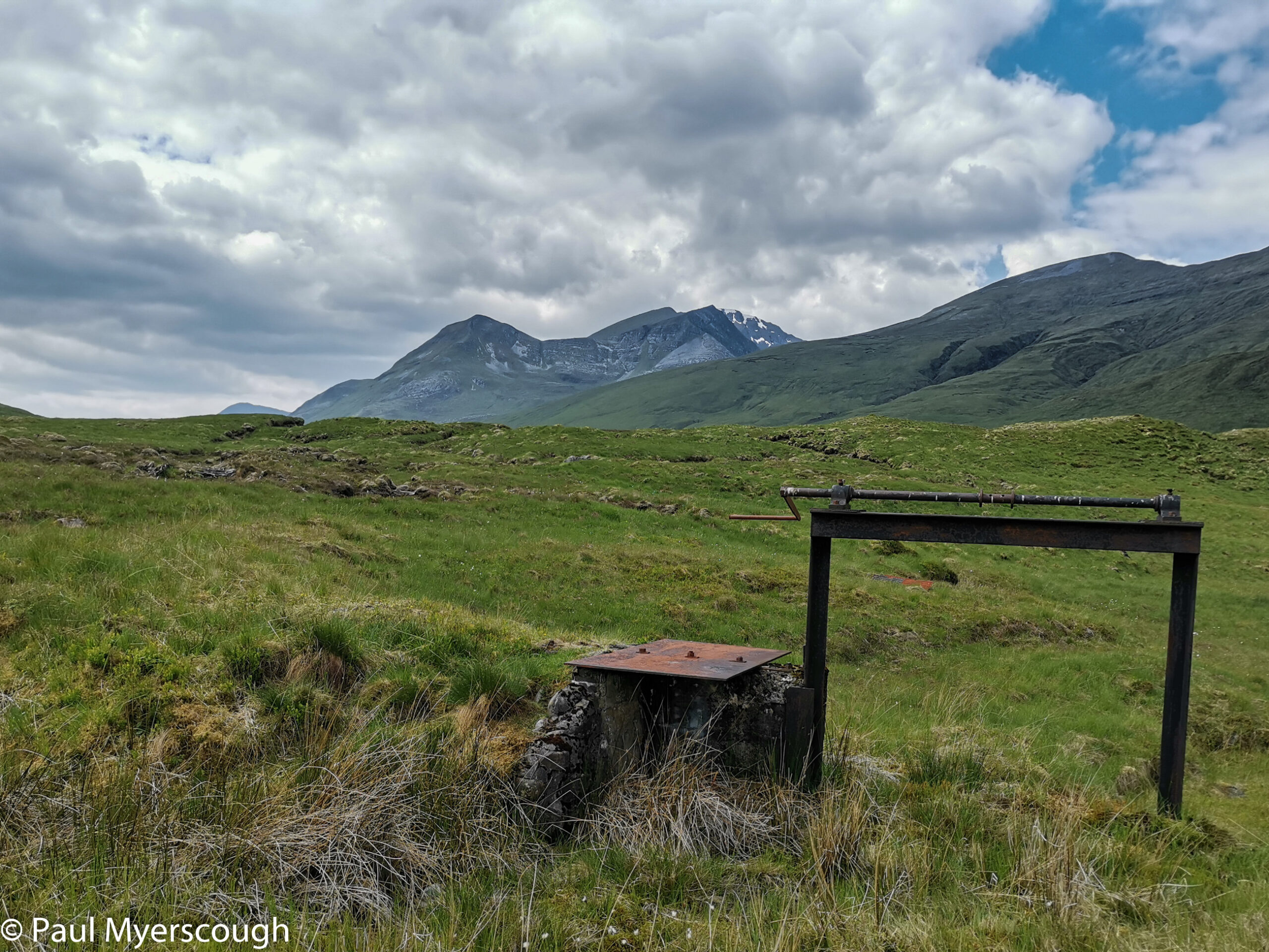
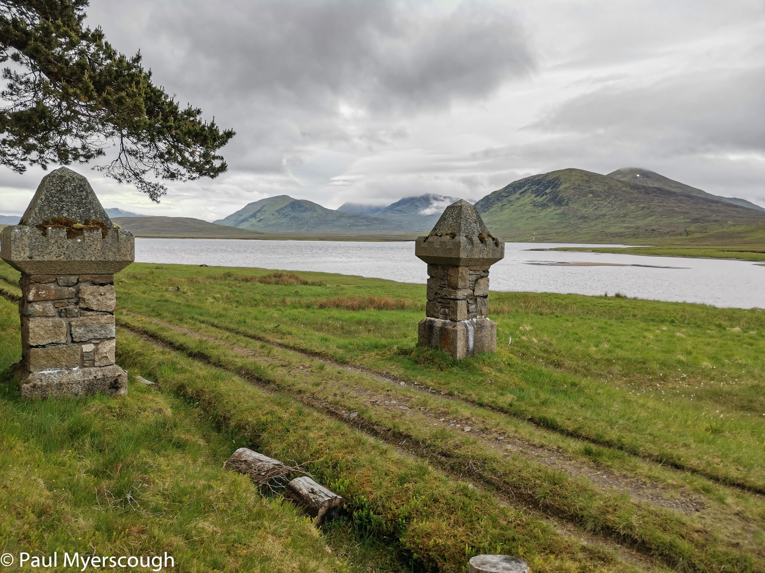
The next day a pleasant start in the warm morning sun led me past an encampment at the top of Loch Trieg. There was a couple walking to Fort William who had just left the train at Corrour Station.
About 3 hours later I’d reached the top of Loch Ossian by the seemingly invisible Corrour Lodge.
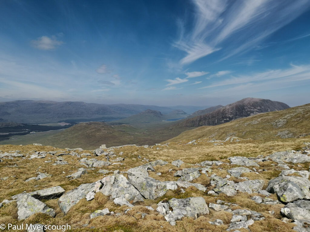
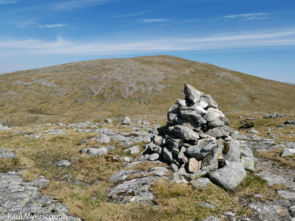
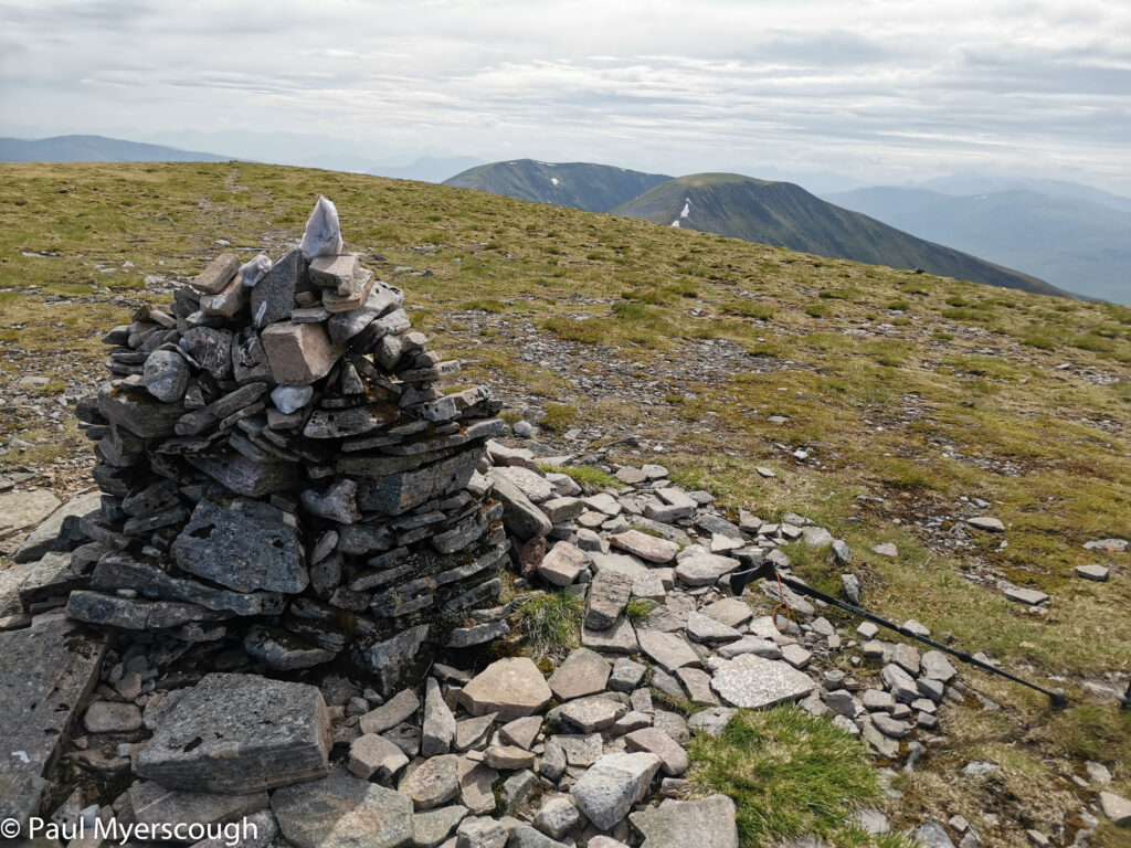
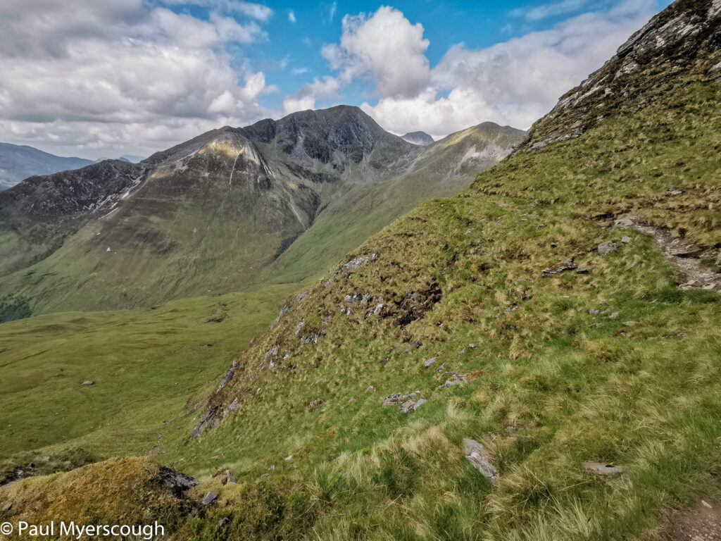
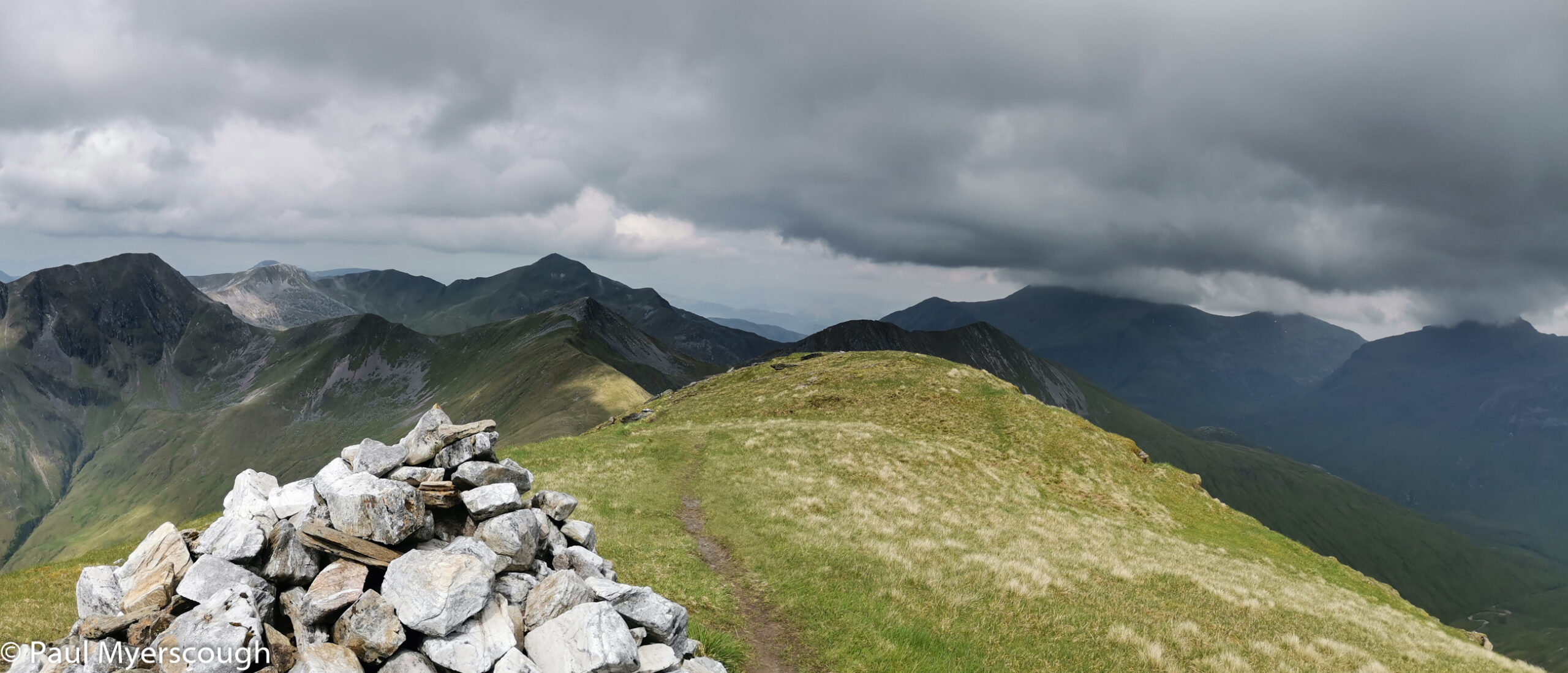
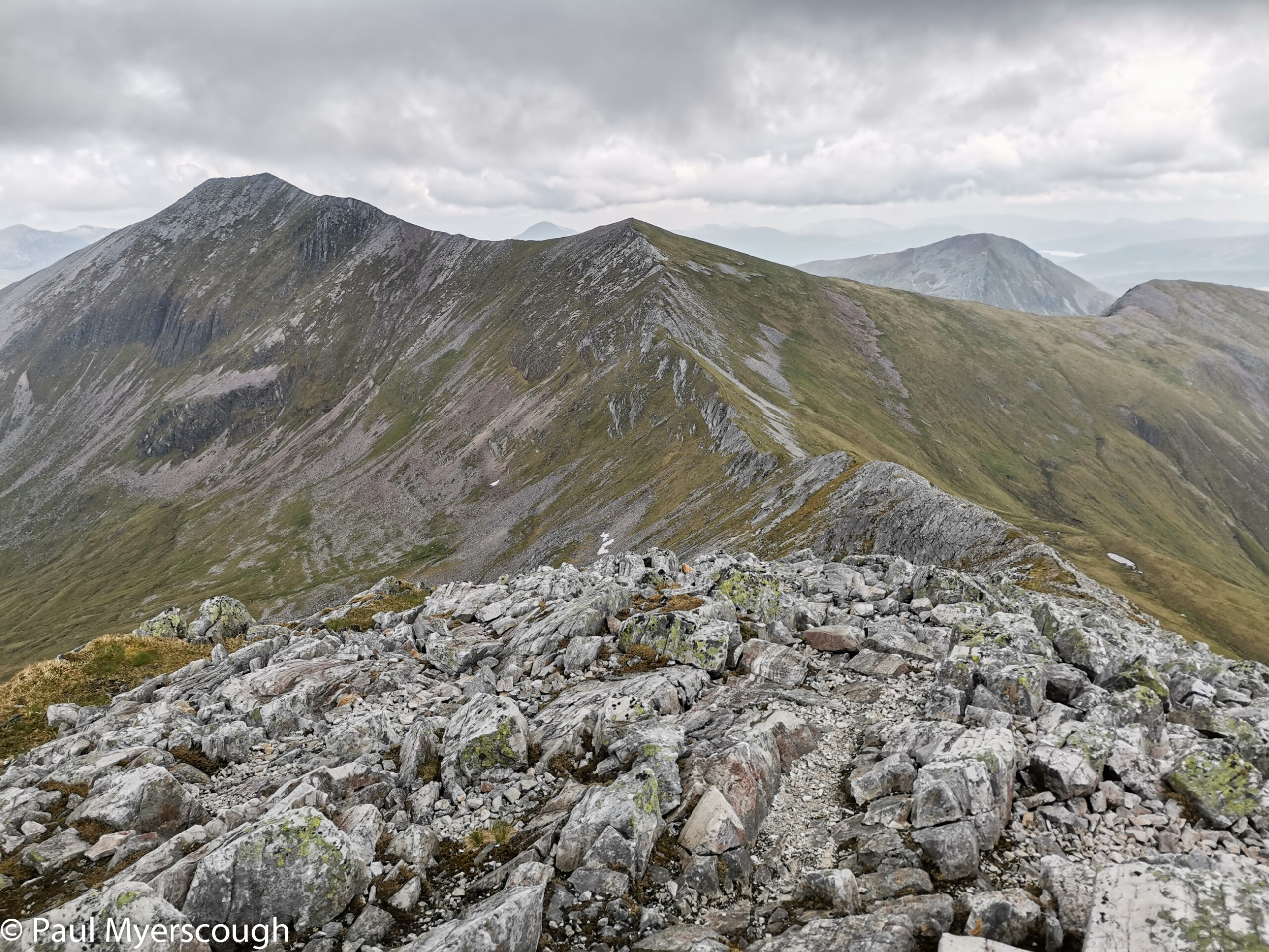
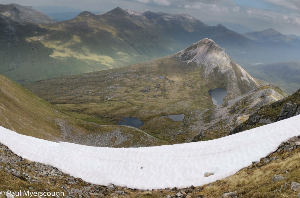
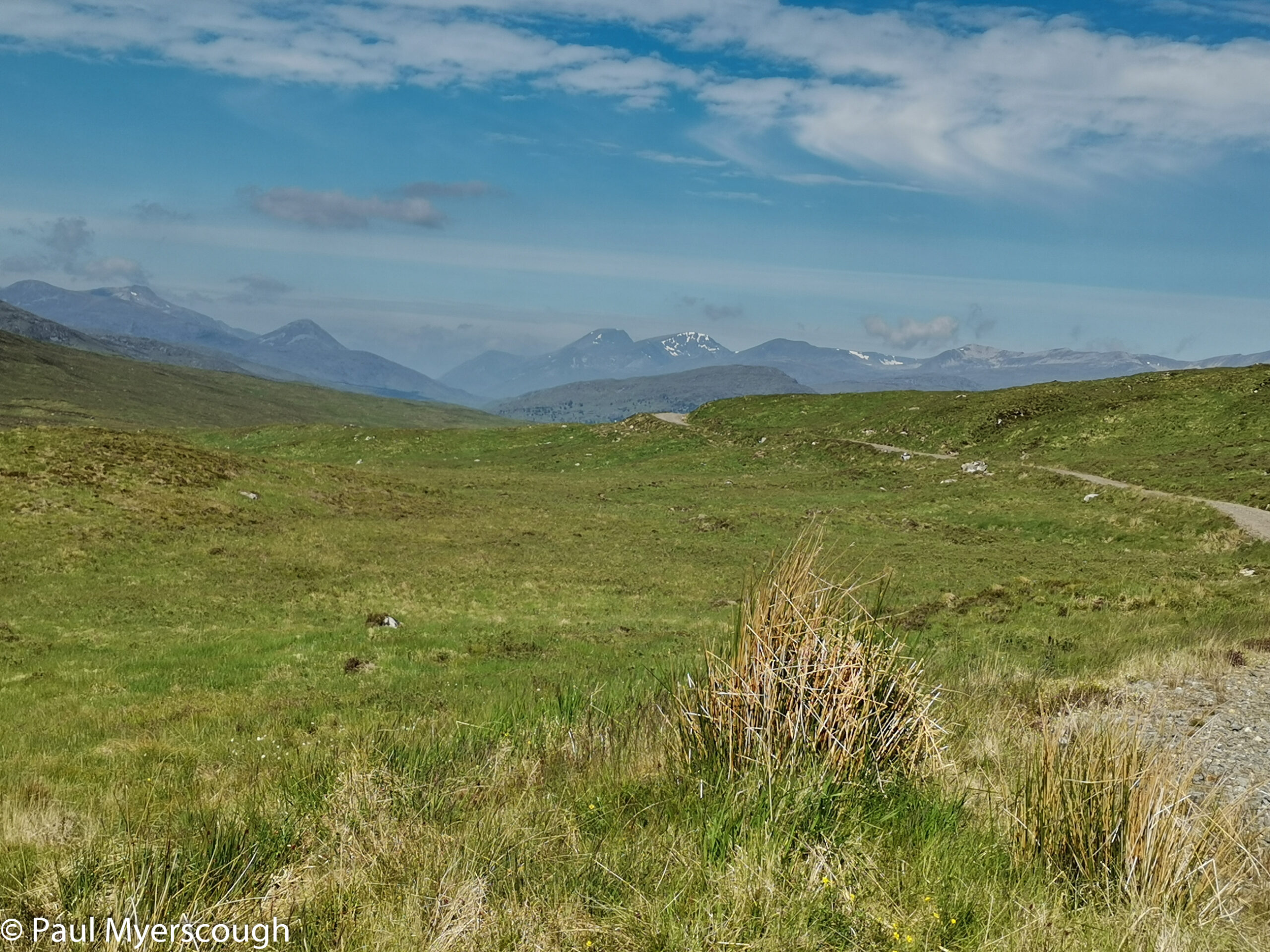
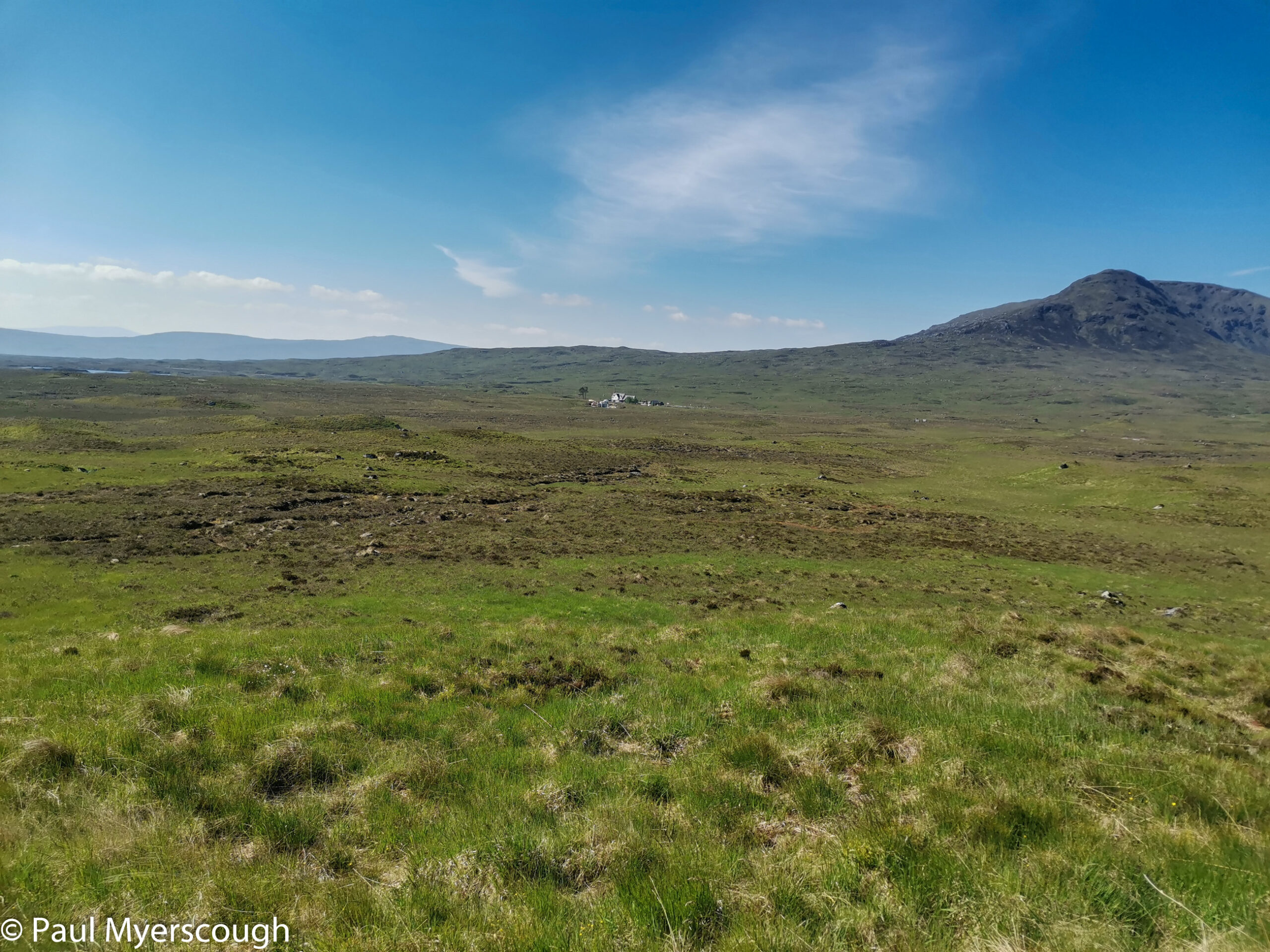
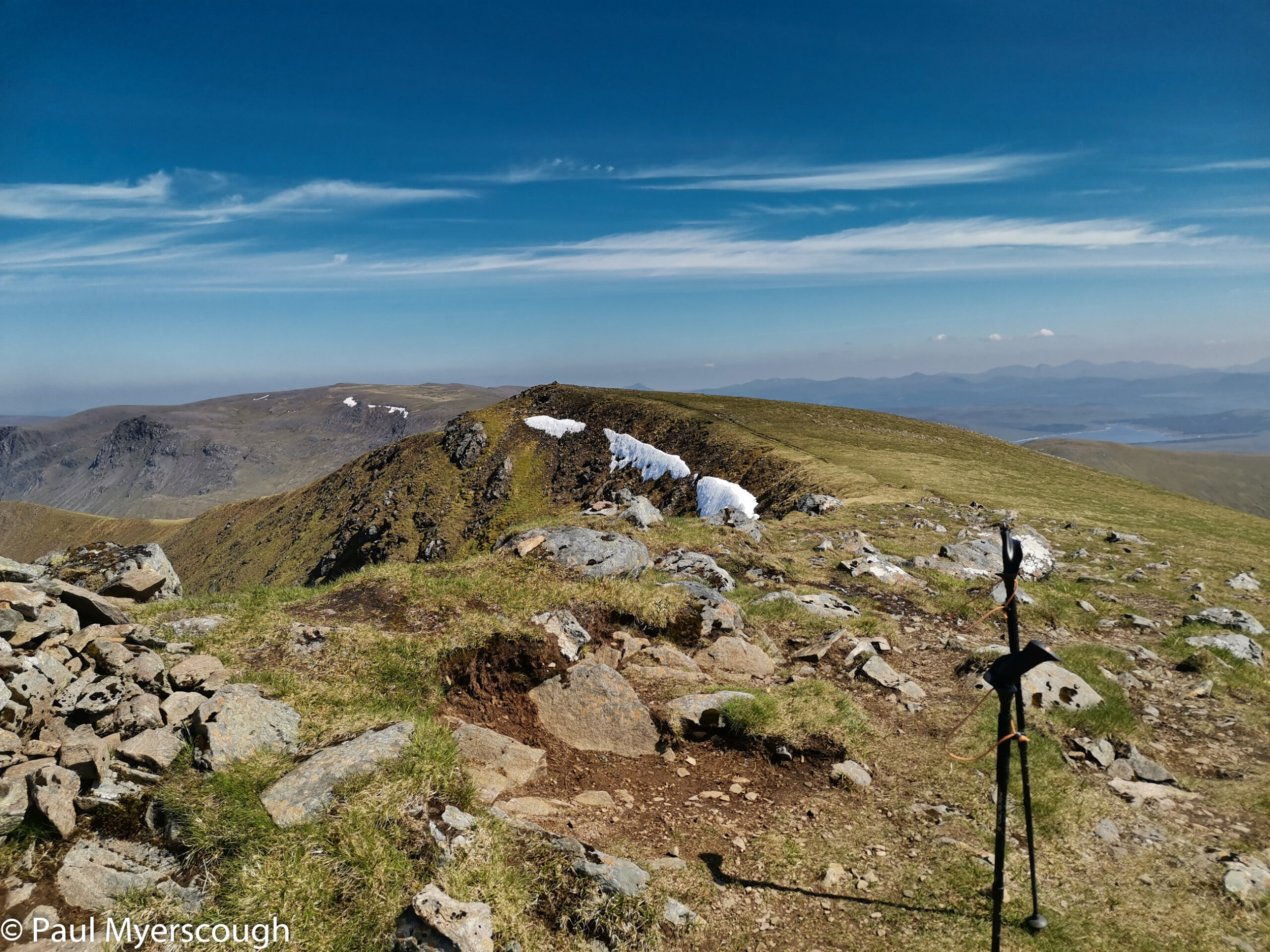
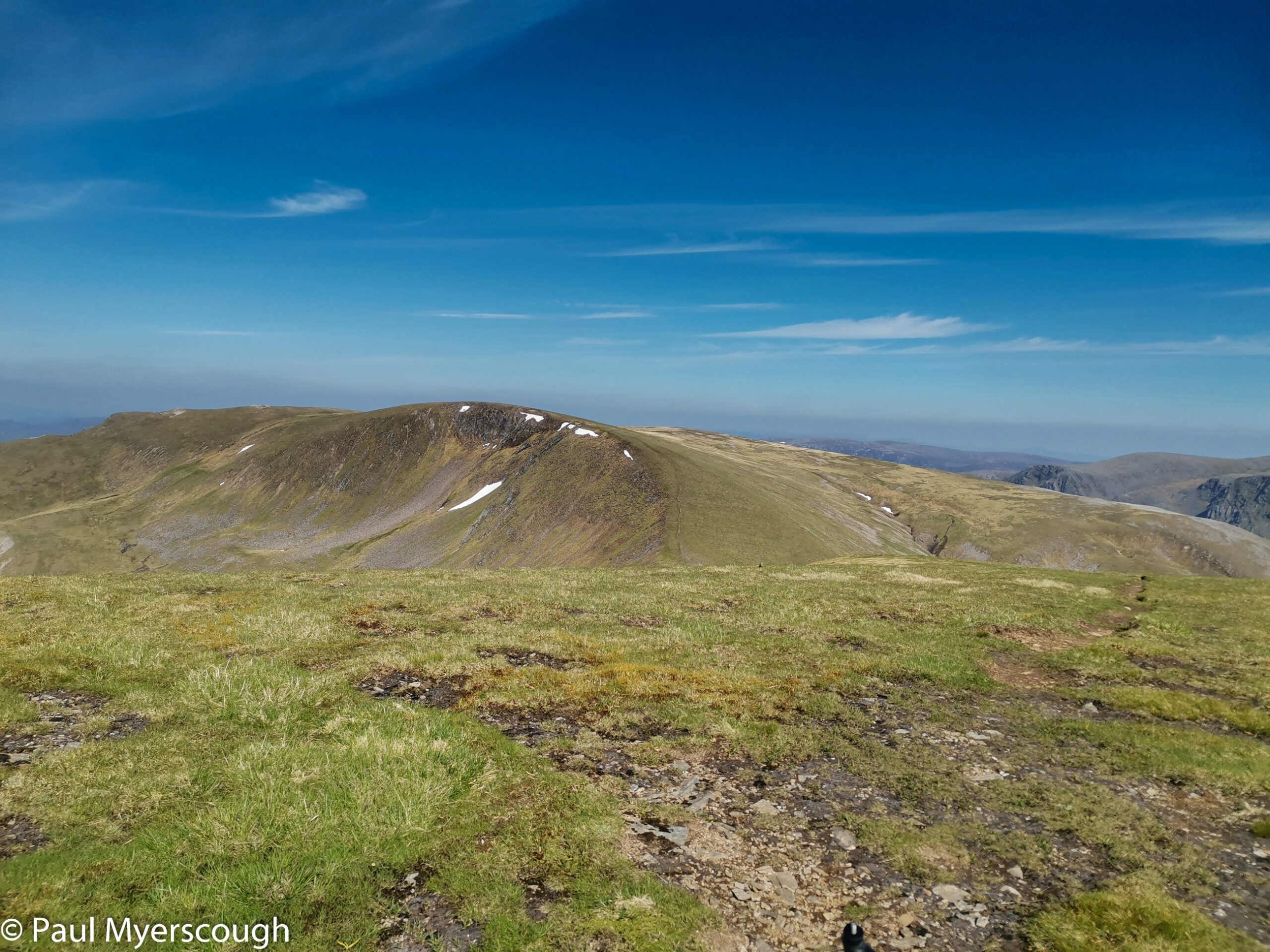
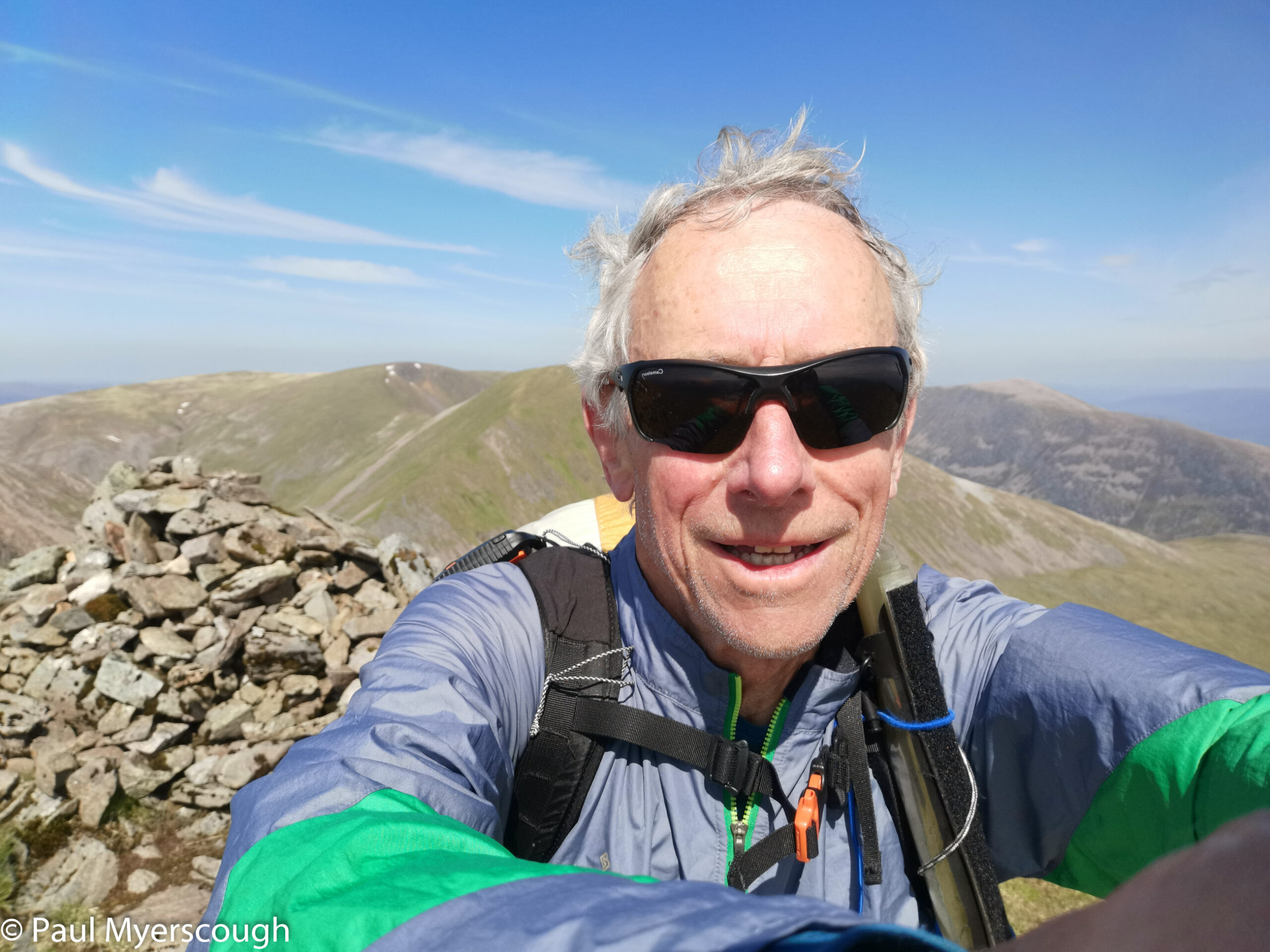
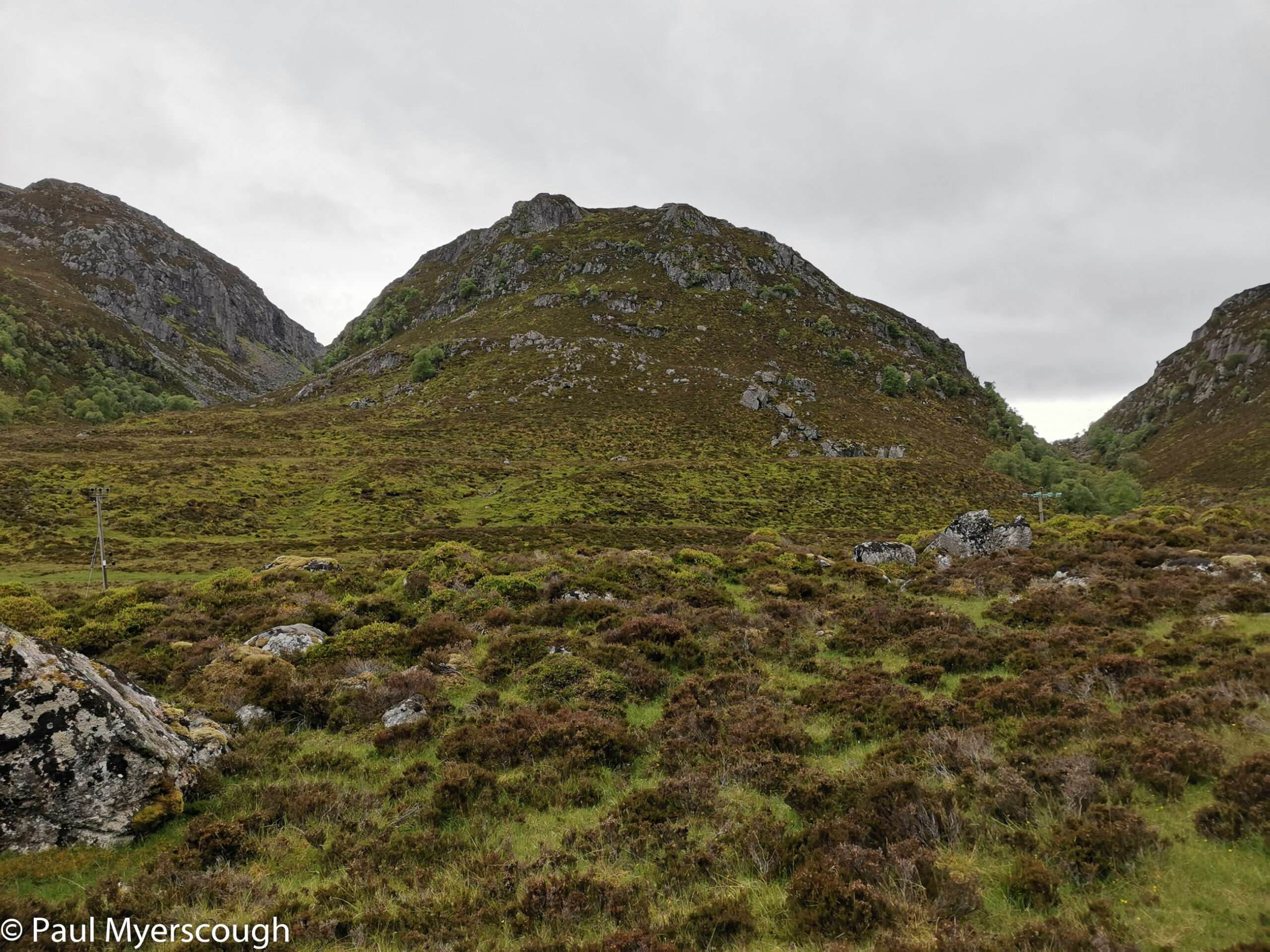
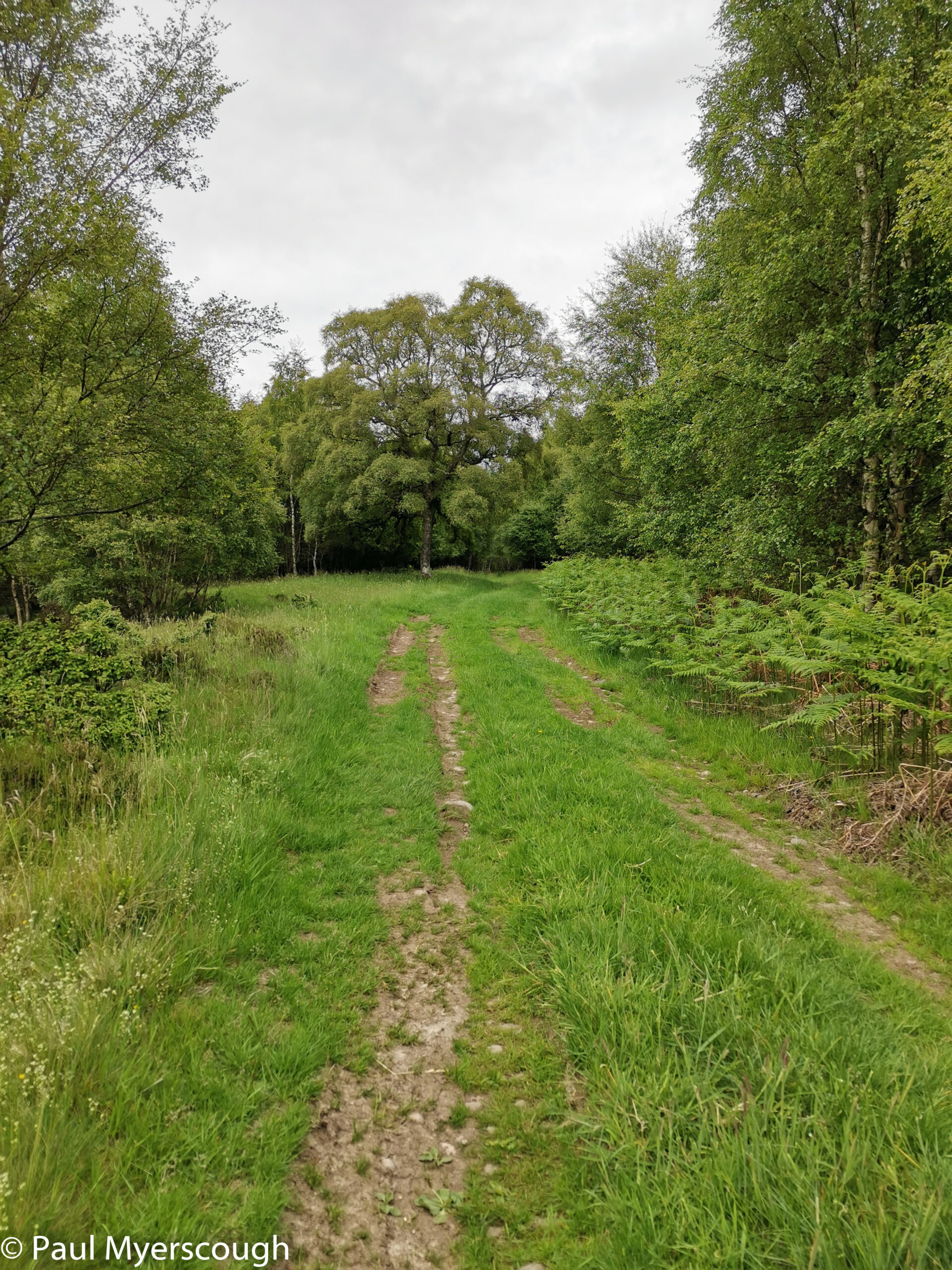
From here the route onto the ridge was pathless: pleasant enough walking with fine views along Srath Ossian. At around 700m the direction needs to change from north to east. The rounded tops do not reveal much until the eastern edge of Beinn Eibhinn which has a dramatic drop ahead and an escarpment to walk around to reach the next munro Aonach Beag.
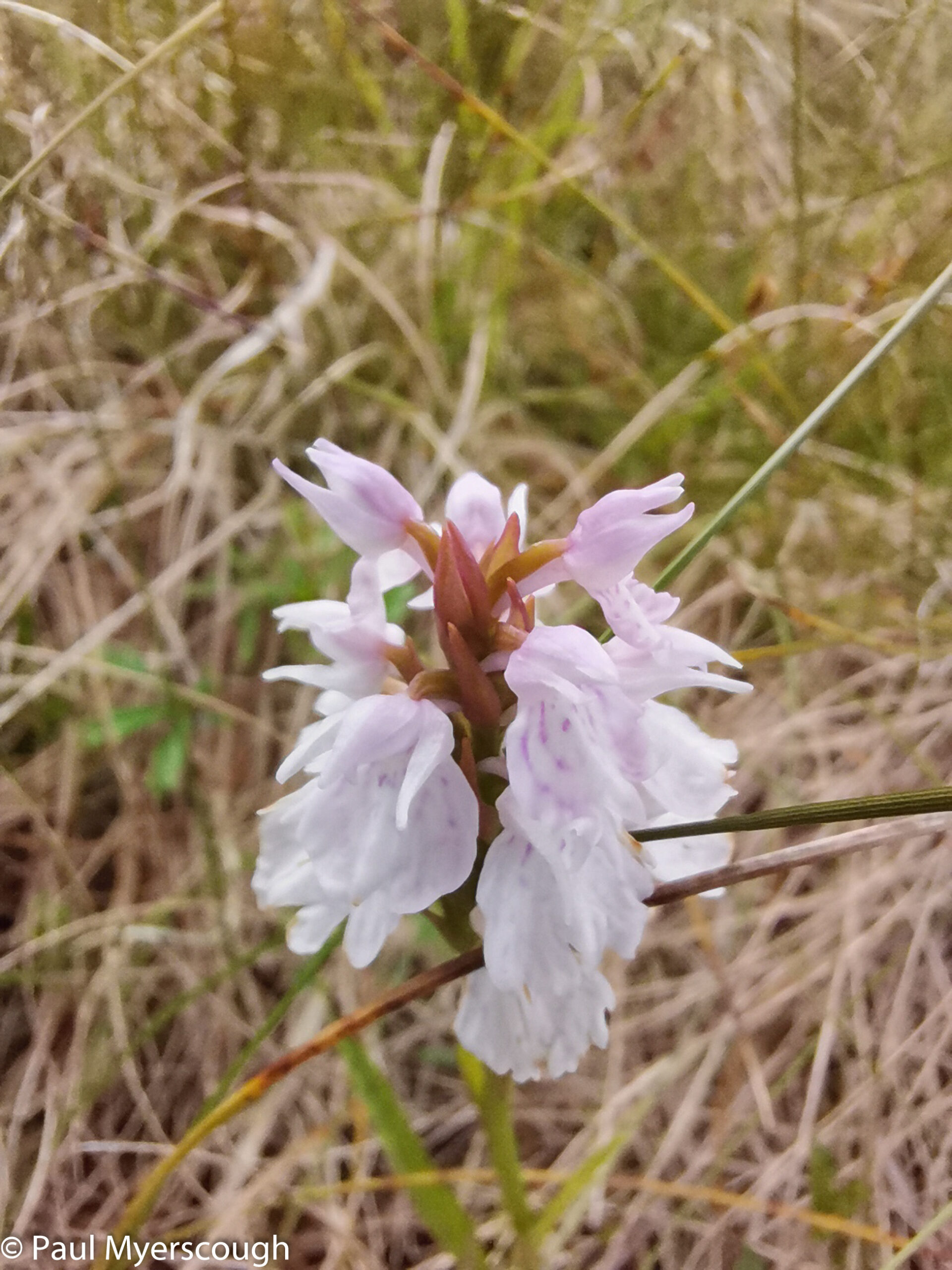
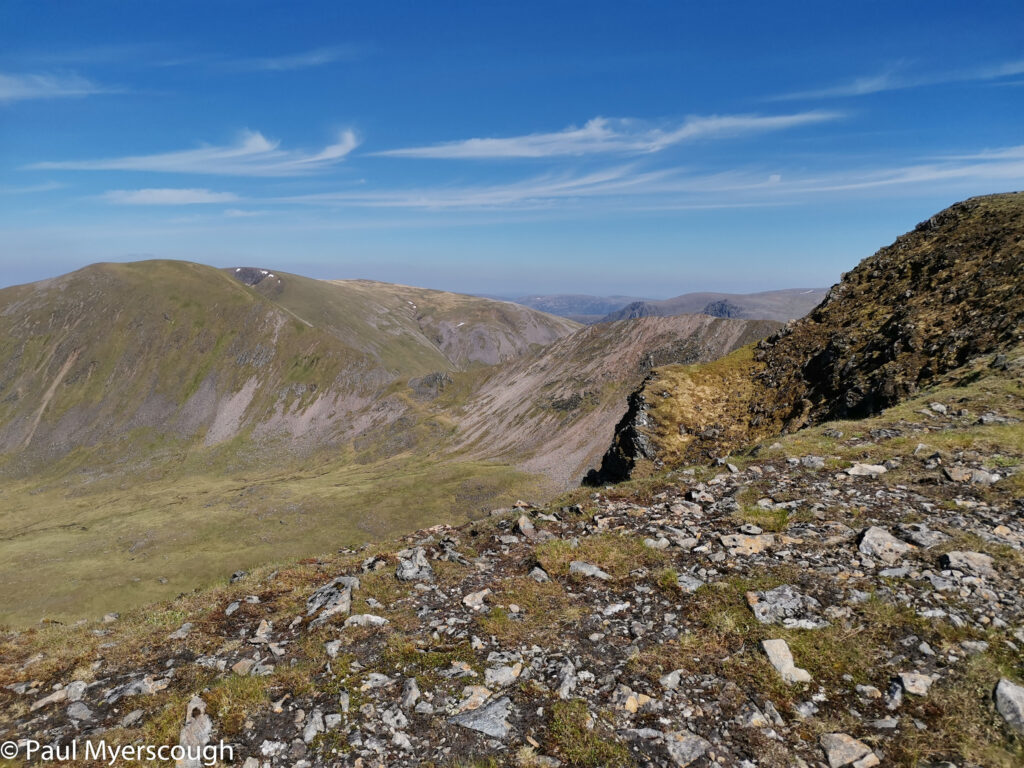
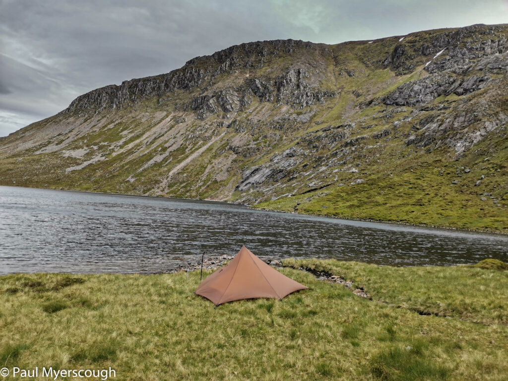
I could see rain and grey clouds moving towards me from the west. The afternoon was getting late and I wanted to reach the other side of Geal-Charn to find a sheltered camping spot. A cold wind seemed to be coming from the north west, so I descended to ridge to the south, 300m or so down a steep slope with frogs hopping in every direction. When I reached the bottom and pitched my tent I realised that here the wind was coming from the south east.
I’d been given some information about a good camp spot by my vetters. Obviously this was not it! The next day I found it 2km further along the ridge a sheltered spot big enough for one tent.
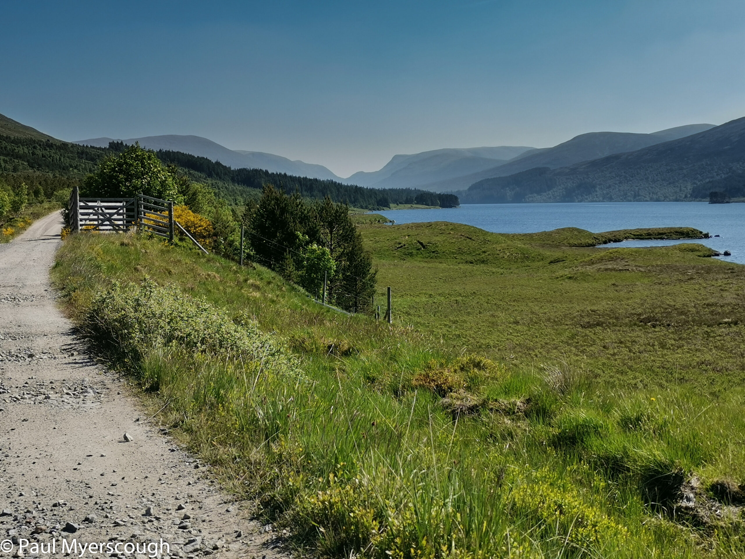
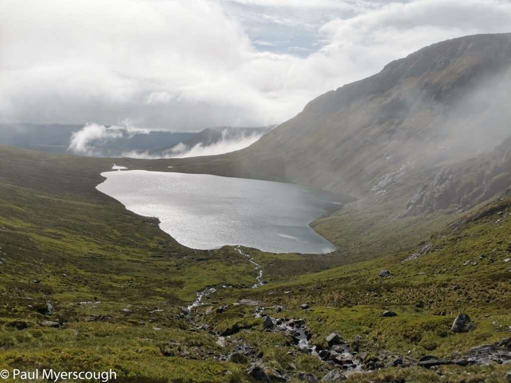
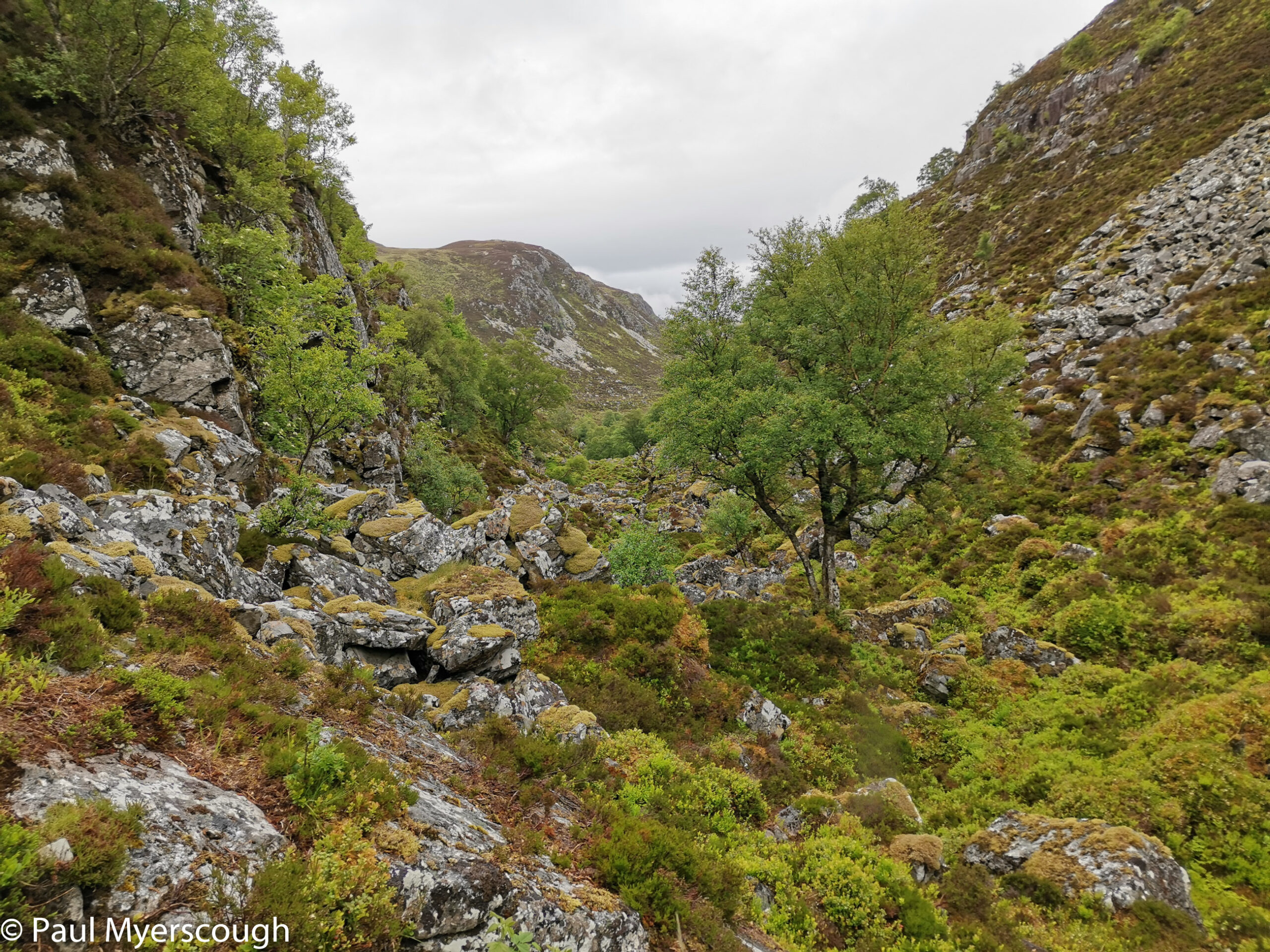
The night rain had stopped by morning and I woke to low cloud after a good sleep lulled by the sound of the nearby waterfalls. It took 30 minutes to reclaim the ridge and then an hour or two in the mist to get me over Carn Dearg and another to descend onto the track from Culra bothy to Loch Pattack. Here I met Rob (124) who started at Morar and was walking from Corrour youth hostel.
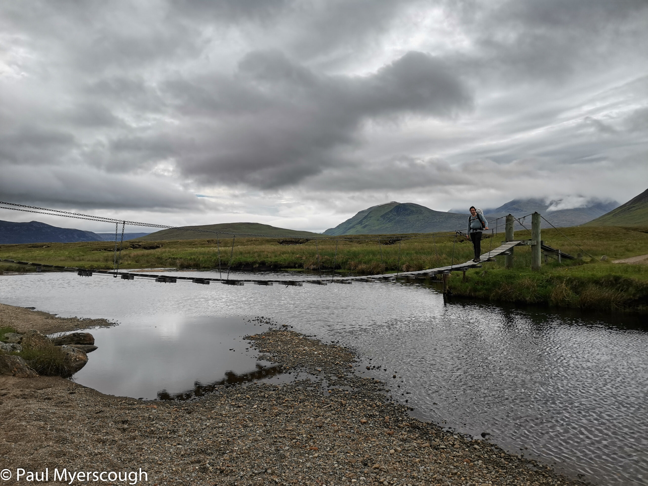
We walked together for a while passing several cyclists alone or in small groups. Beyond Loch Pattack our ways diverged Rob to Dalwhinnie, while I headed north and then north-east to Loch Caoldair.
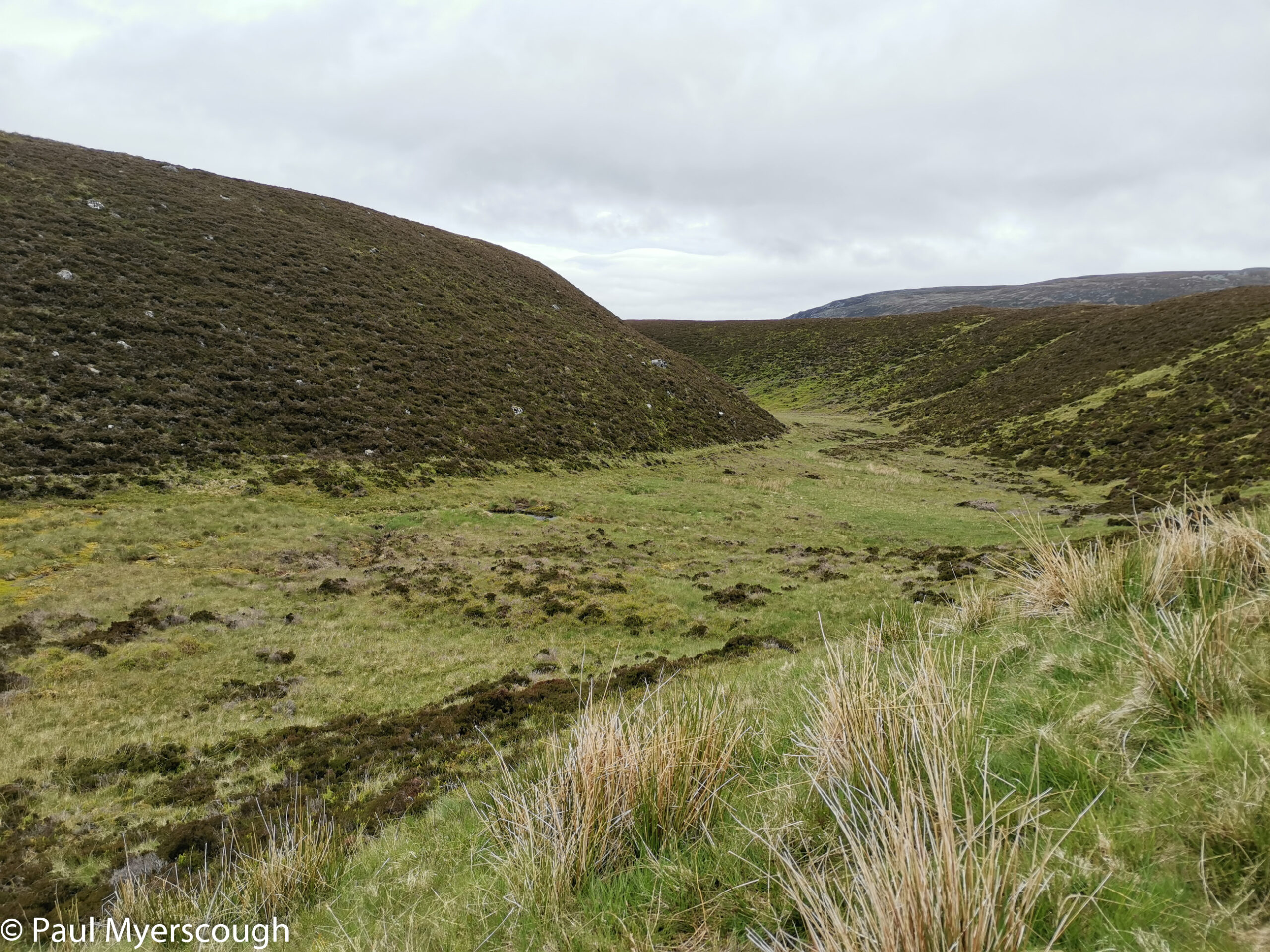
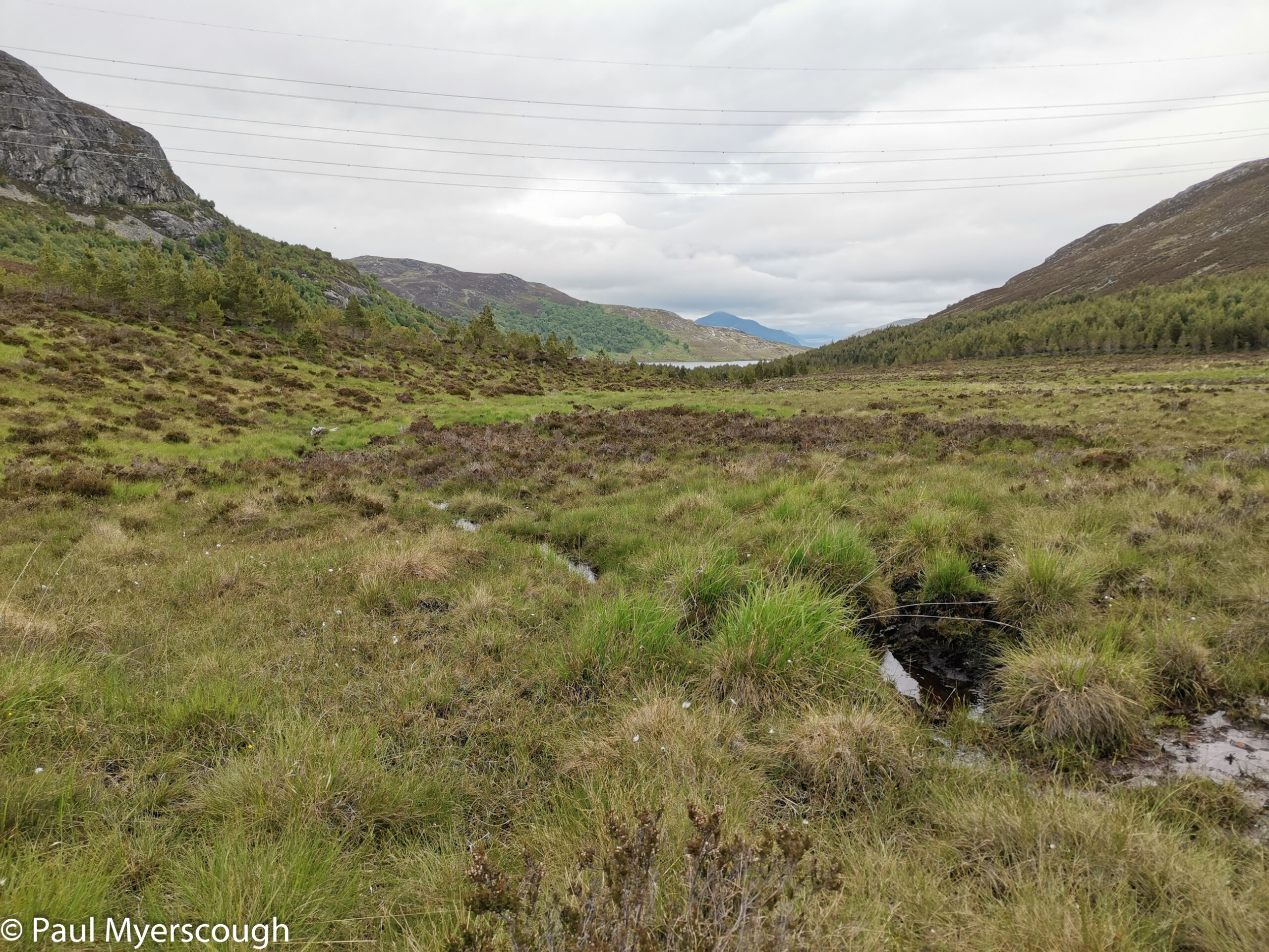
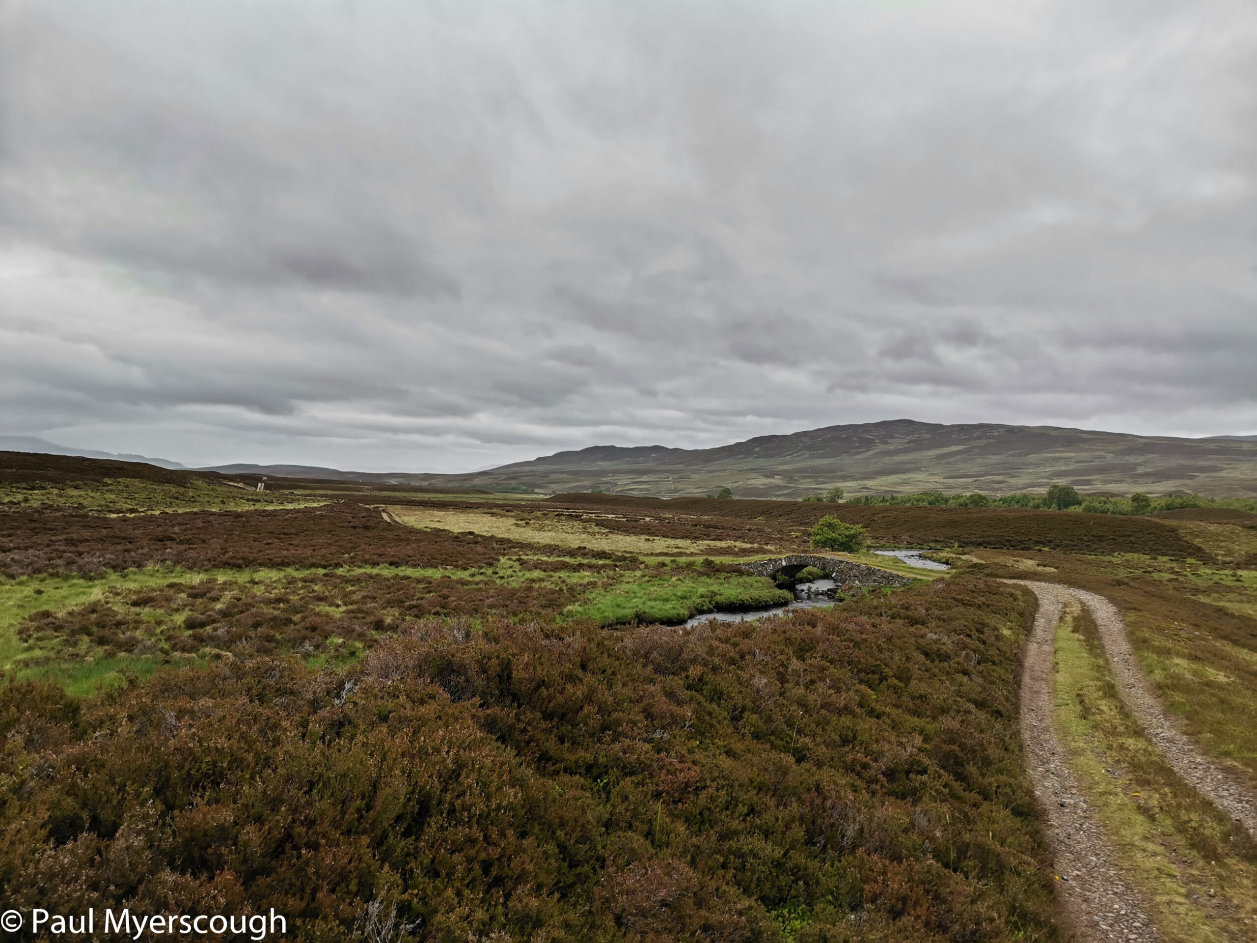
A geographical curiosity on the route is the strange pathless and ankle-twisting rocky defile called Dirc Mhor. I walked through here some years ago: once is enough! On the map there is a clear bypass, again pathless, alongside a lochan and through a narrow defile. This I followed only to find a disheartening mini-version of Dirc Mhor. A jumble of rocks requiring intense concentration to get through.

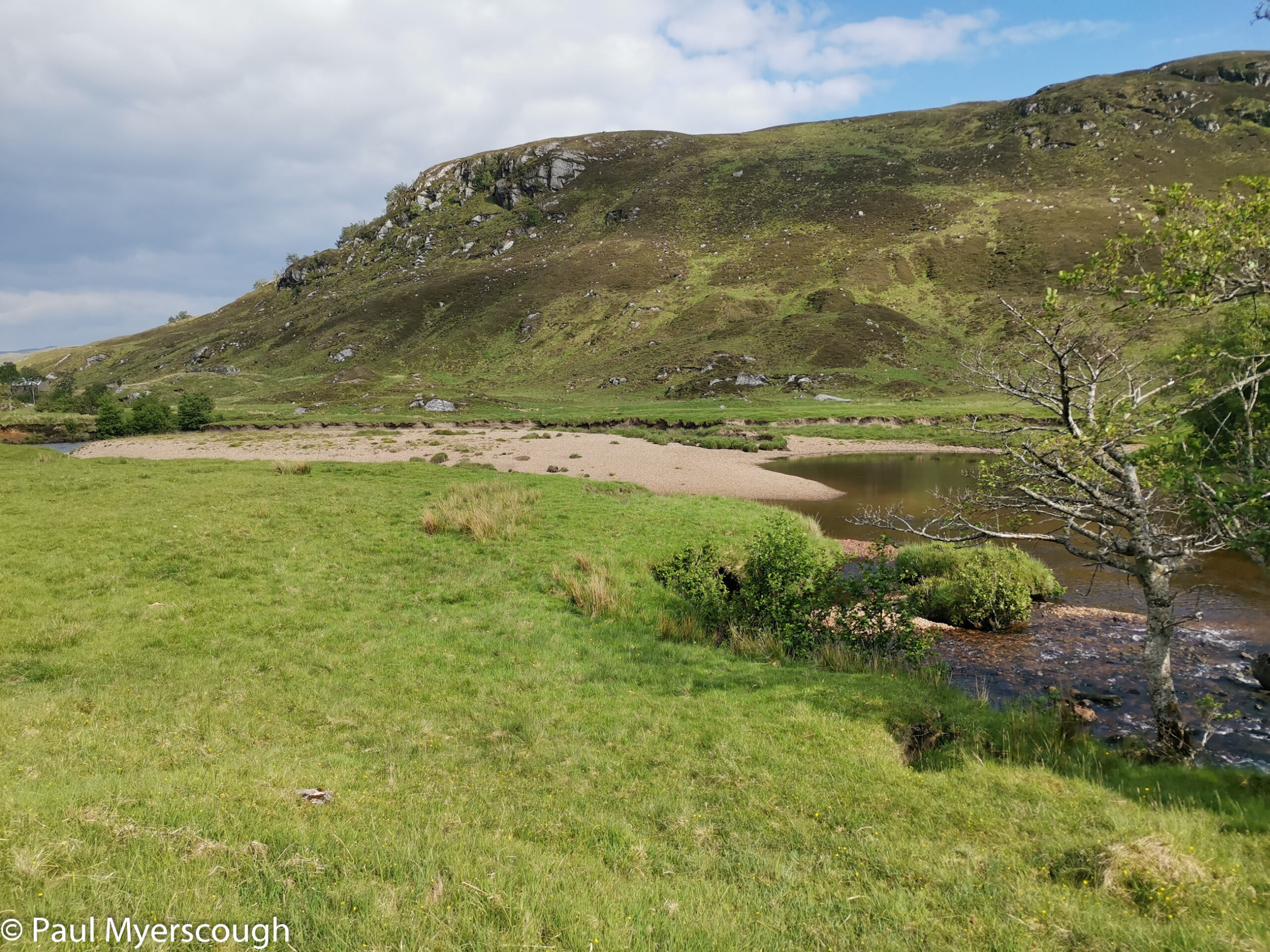
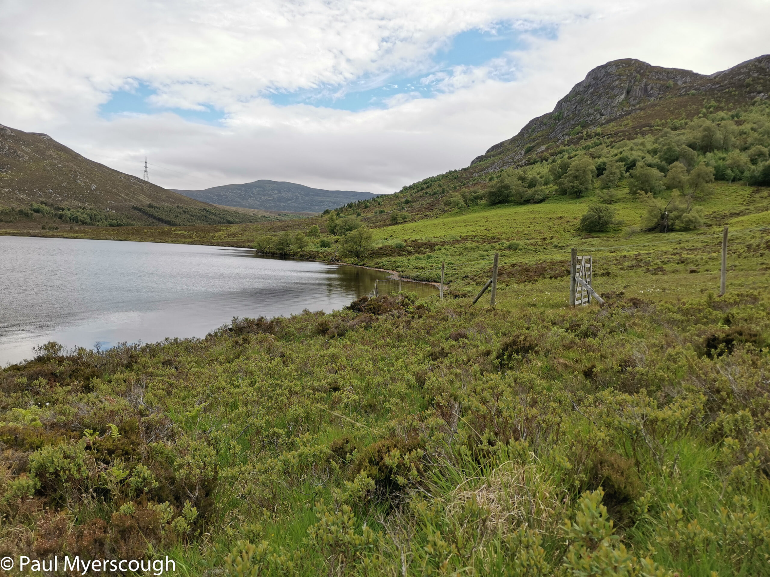
Loch Caoldair is not far from here, but the route is still pathless and rough, and the plantation around the lake is troublesome to negotiate. For me, this was unfinished business! On a previous Challenge, exhausted by the tough landscape, I took a shortcut to the relative civilisation of Dalwhinnie rather than camping as planned by the loch.
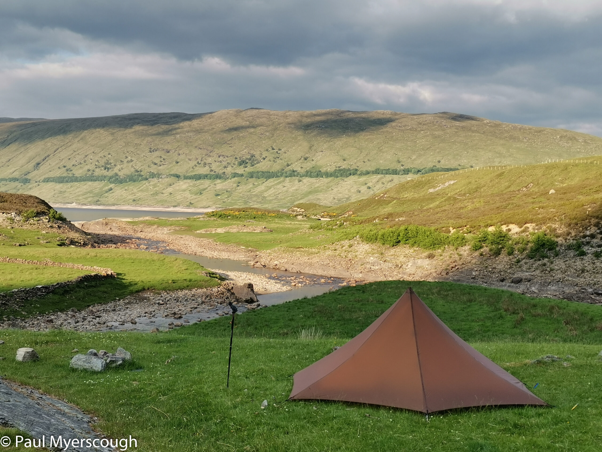
A flat area near an old boathouse provided a comfortable camp. This was to be a rare midge-free night!
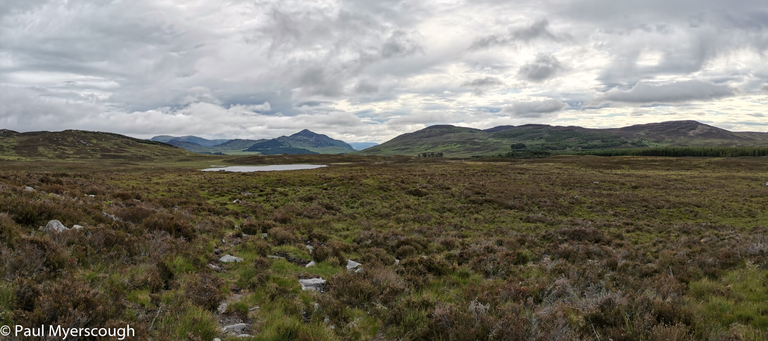
The next morning a faint path took me the few kilometres to the nearby A889 road. From here another pathless stretch leads over the hills to the east with views towards Newtonmore and Kingussie bringing me down into Glen Truim.
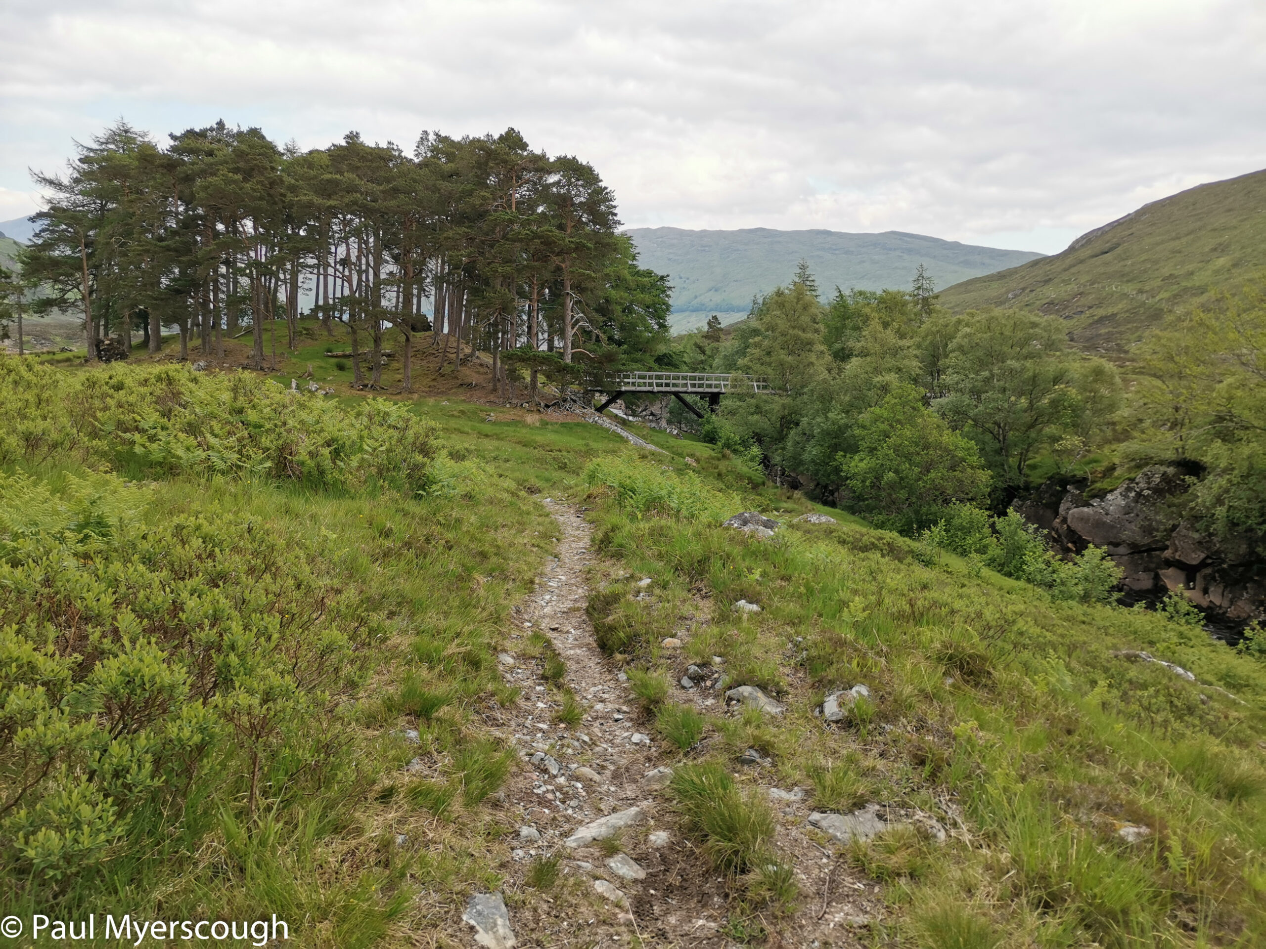
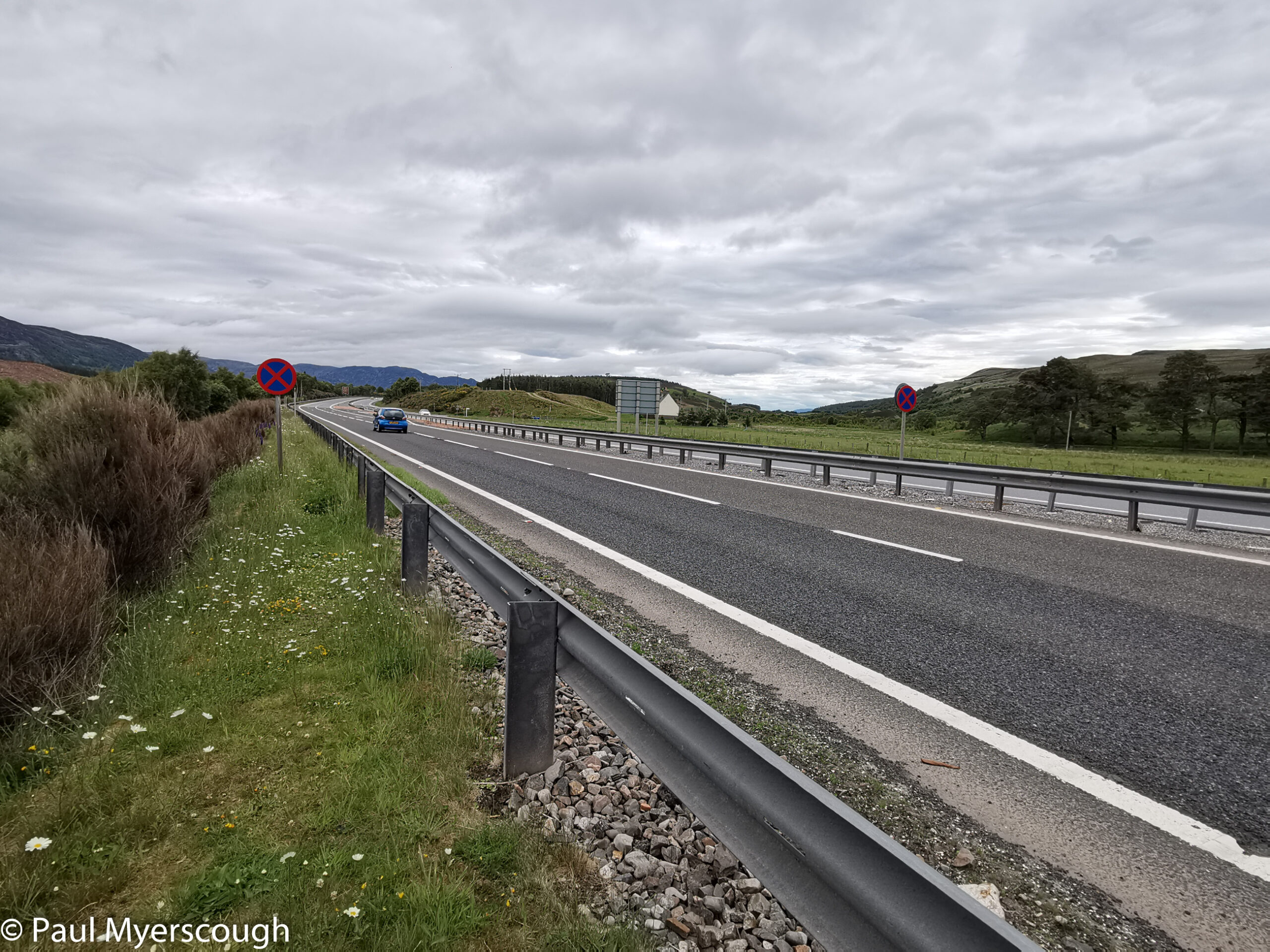
This pathless walking is exhausting. Physically, but also mentally – “Shall I go around that clump this way or that way?” “Shall I traverse a bit and zig-zag or go direct?”. It is easy to slow to a snail’s pace as the decisions about route making take over. So the cycle path following the side of the A9 to Etteridge was a welcome change and the prospect of a good track heading east brought joy. Newtonmore or Kingussie, take your pick!
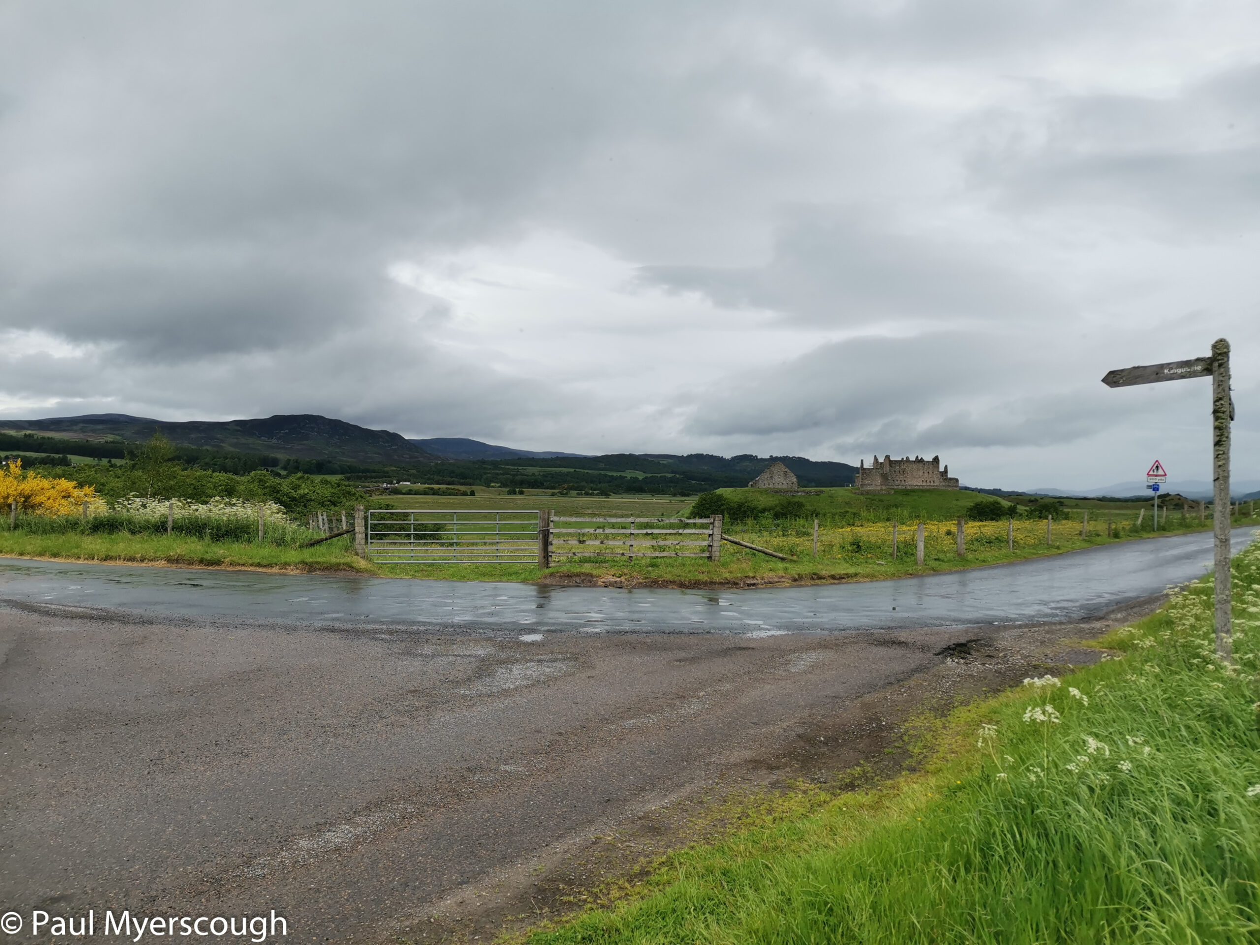
I’m heading for the Duke of Gordon Hotel where a bed and resupply package is waiting for me.
What happened next? Look here!