
Acharacle to Montrose the TGOC 2021 notes: days 1-3
[Viewing the blog – in case you hadn’t noticed pictures are zoomable if you click on them. Maps can be pulled and pushed to follow the route in blue. Maps can also be zoomed in and out and viewed full-screen.]
Look here for the overall plan.
14 Different start places on the west coast of Scotland. How to decide? And then there’s a wide range of the east coast for a finish point.
The regular ‘we need more starters at these locations’ plea which accompanies the planning notes sent out each year is often my prompt. And I planned to finish early which is why I chose Montrose, the final gathering point, rather than somewhere else on the east side.
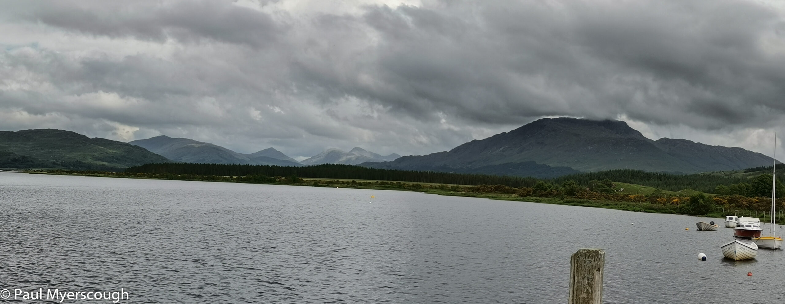
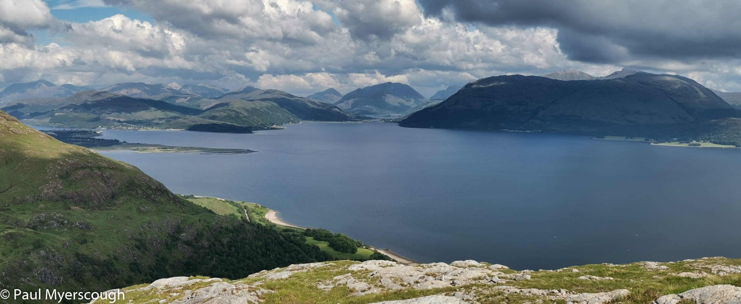
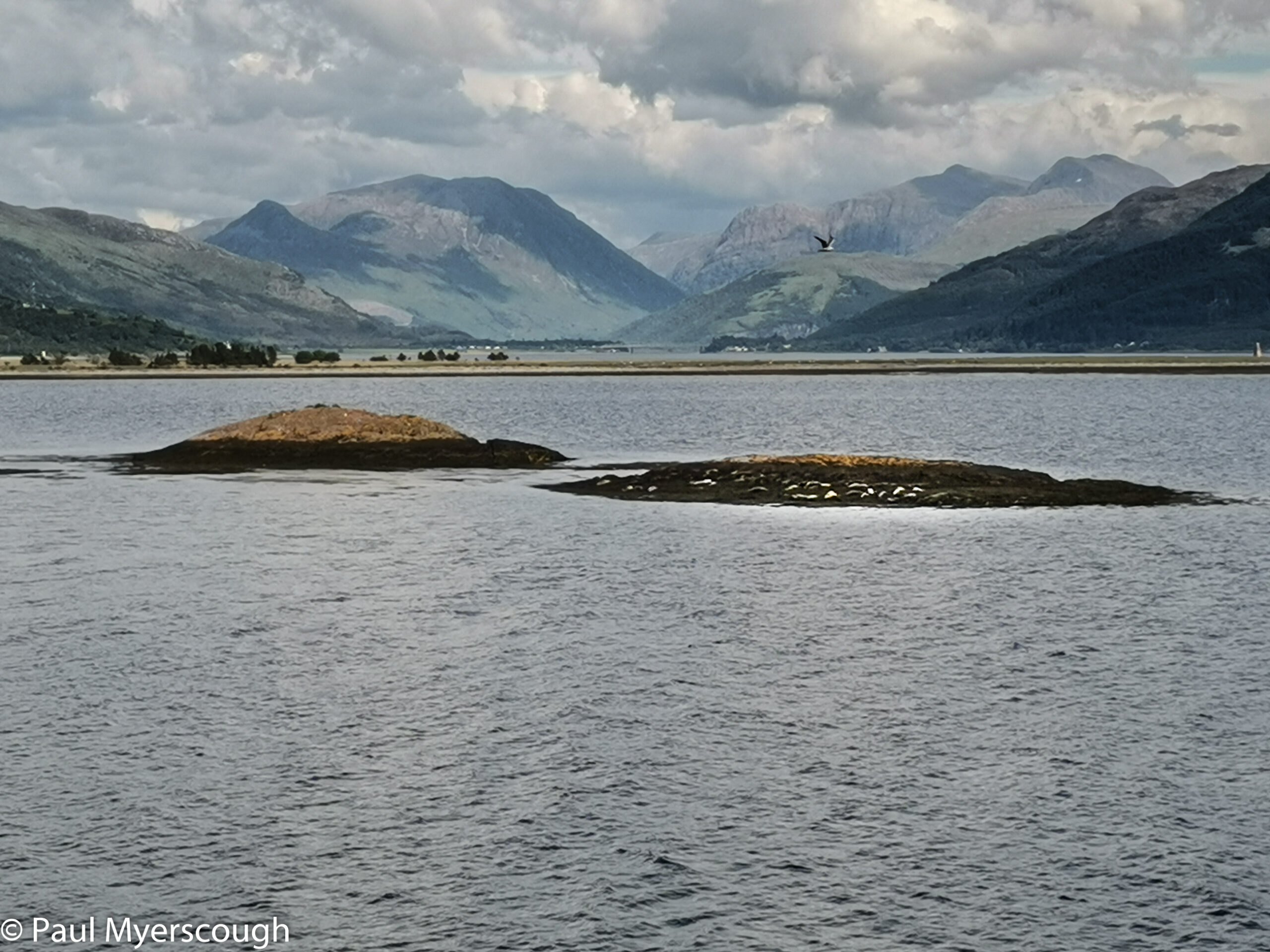
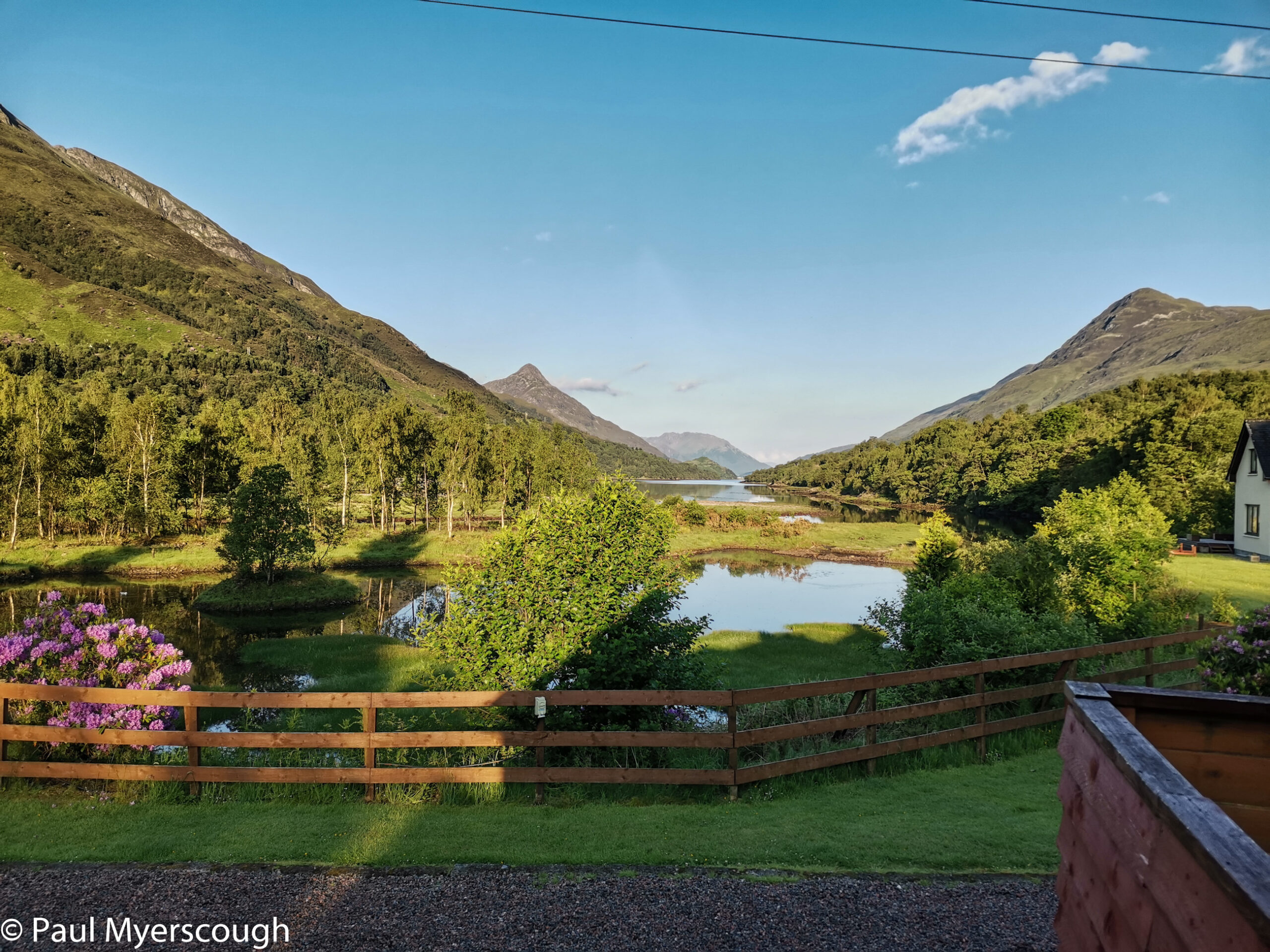
Much of west Scotland is stunning and Acharacle at the end of Loch Shiel fits the pattern. The bus from Fort William dropped us at the hotel which was all closed up, so I took the opportunity to walk down to the edge of the loch and tasted the water. To my surprise there was no salt! It seems this is the only start that is not on the coast.
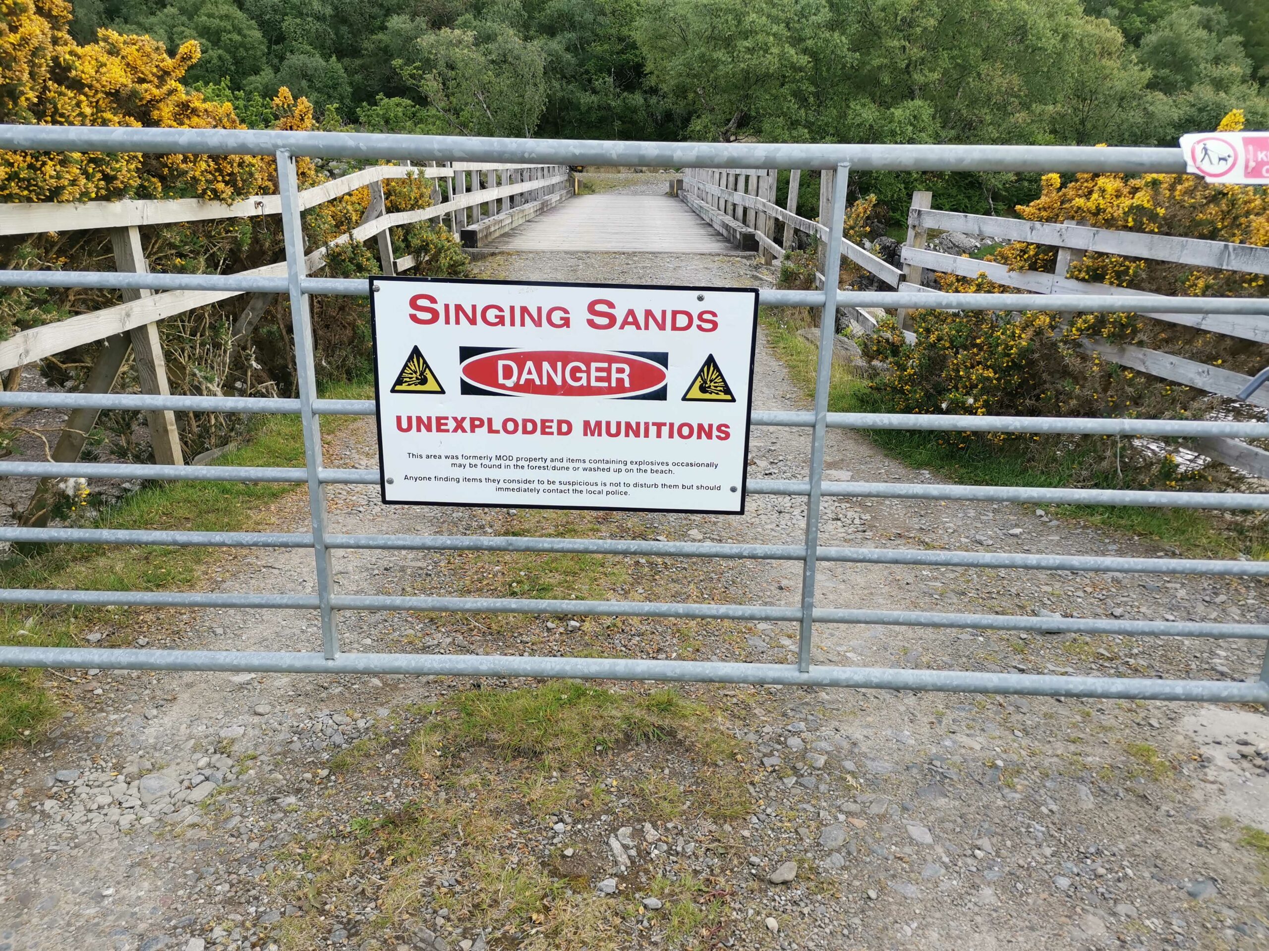
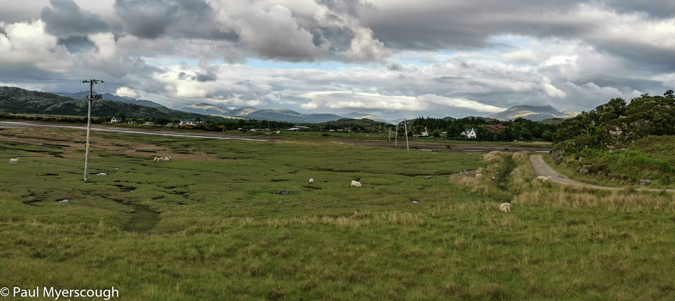
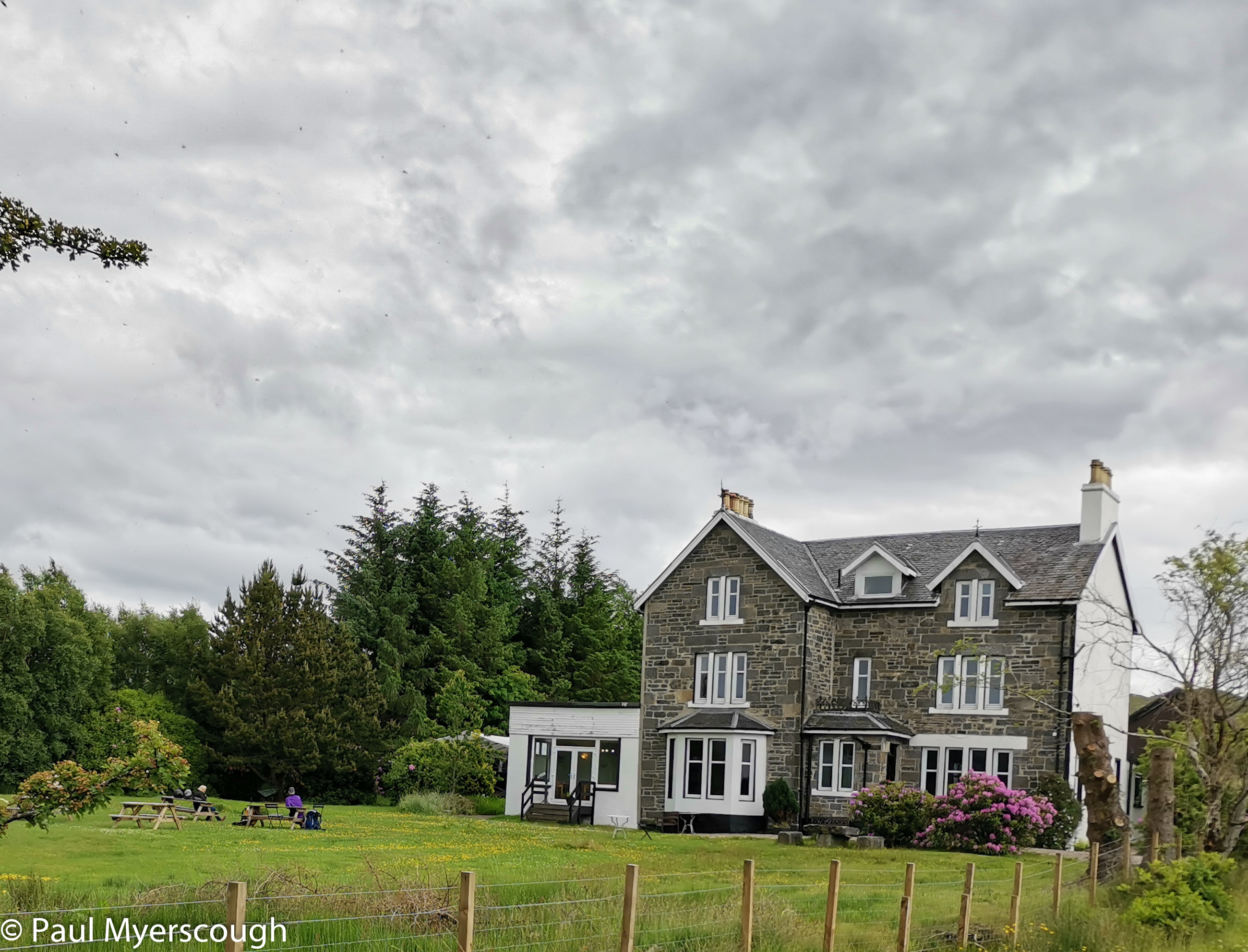
We were just 5 starters on the list at the Loch Shiel hotel. Anna was sat in the garden with Chris, my bus companion, waiting for the hotel to open when I returned. She had come a day early and spent the night camping by the nearby ‘singing sands’ beach. After a fine dinner of local scallops and roast cod I decided to forego the beers of TGOC starting eve and make my way to the sea just a few kilometres away. This was evening, all was quiet. Deer were browsing in the local gardens. The views across the flats of Kentra bay were stunning in the late summer evening light.
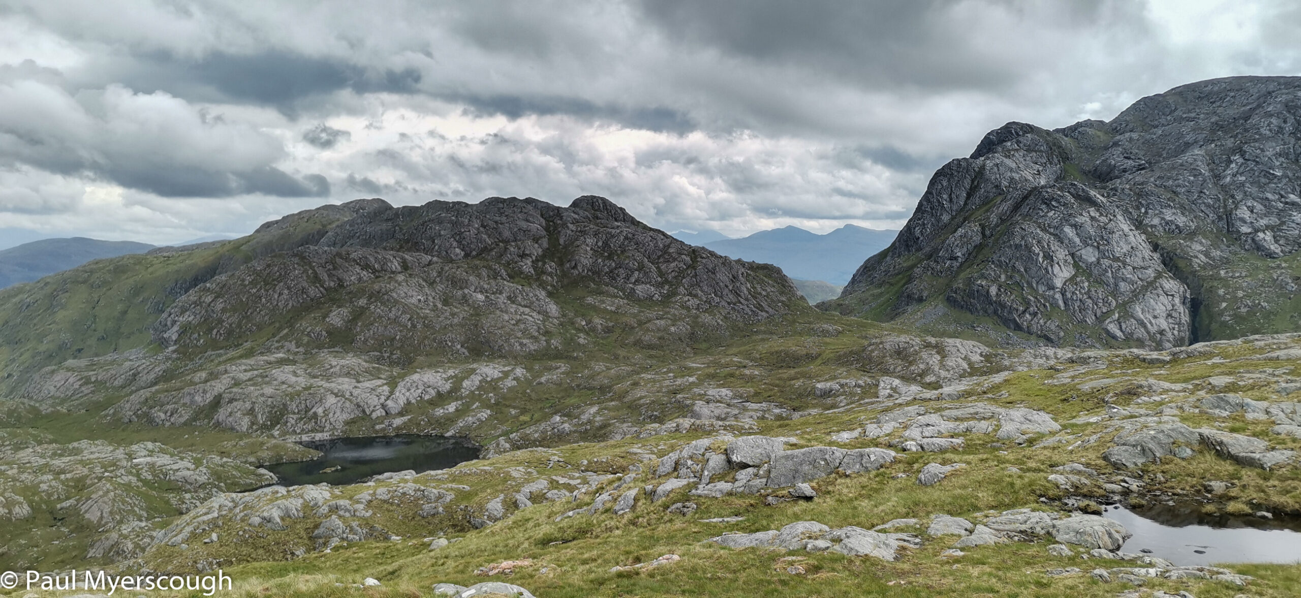
I soon discovered that the ‘standard’ Acharacle route involves road walking and then a boat across the loch. My four companions headed that way while I went in the opposite direction looking for an easy route to the nearest mountain, Beinn Resipol. My vetter’s advised that I should and walked around the road to the ‘normal’ approach from a campsite near the farm of the same name. The site was jammed with camper vans – not a tent in site! Nevertheless the route up the hill, once it left the track (not shown on the OS map) was rough and indistinct. The view behind me along Loch Sunart became more and more impressive as I gained height.
I ascended in solitude but then as I neared the top a couple of people appeared above. They negotiated the rough ground down towards me. ‘We’ve not been to the actual top it will be quite a scramble and I don’t like heights’ I was told. Actually no scrambling was required and the summit cairn was easily reached without putting hand on rock.
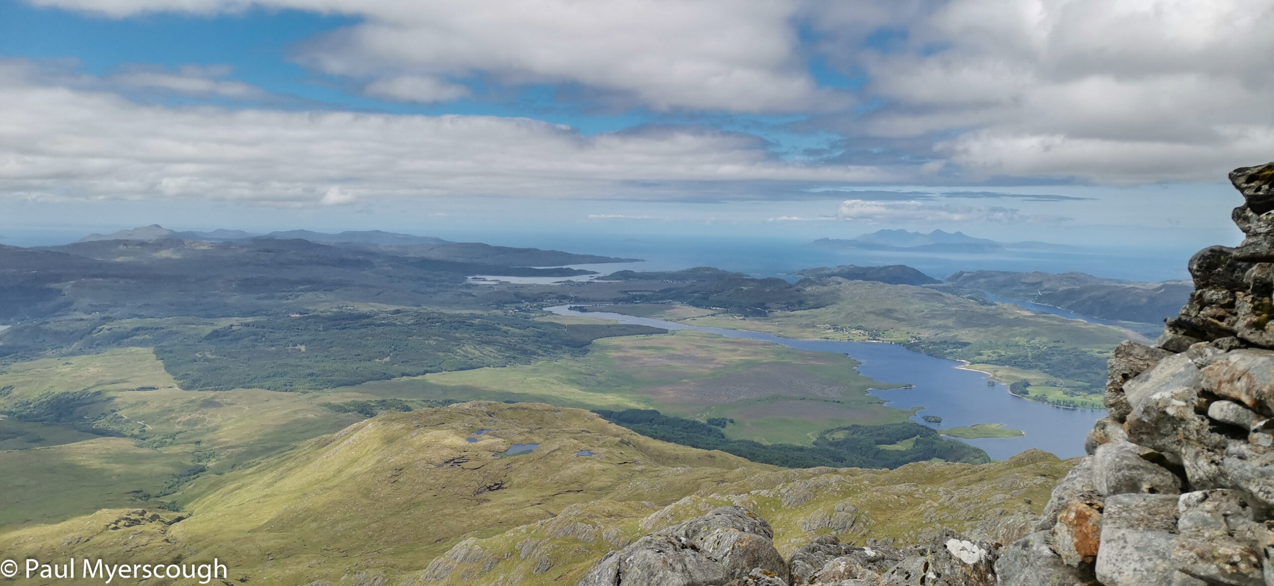
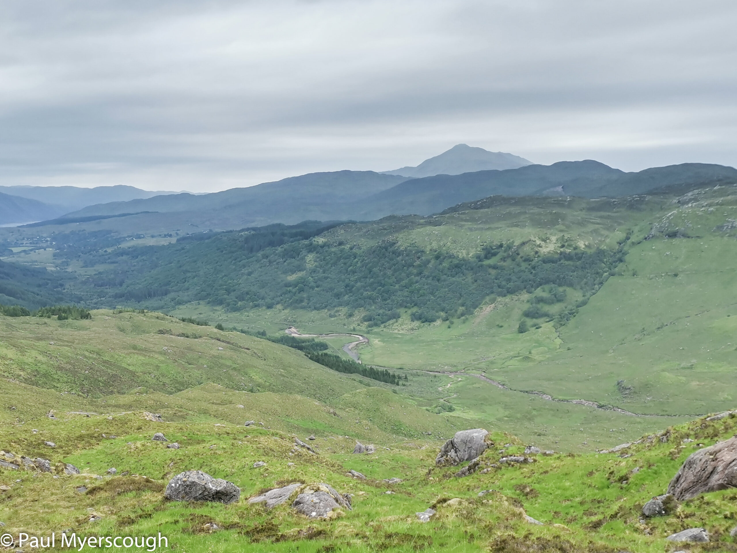
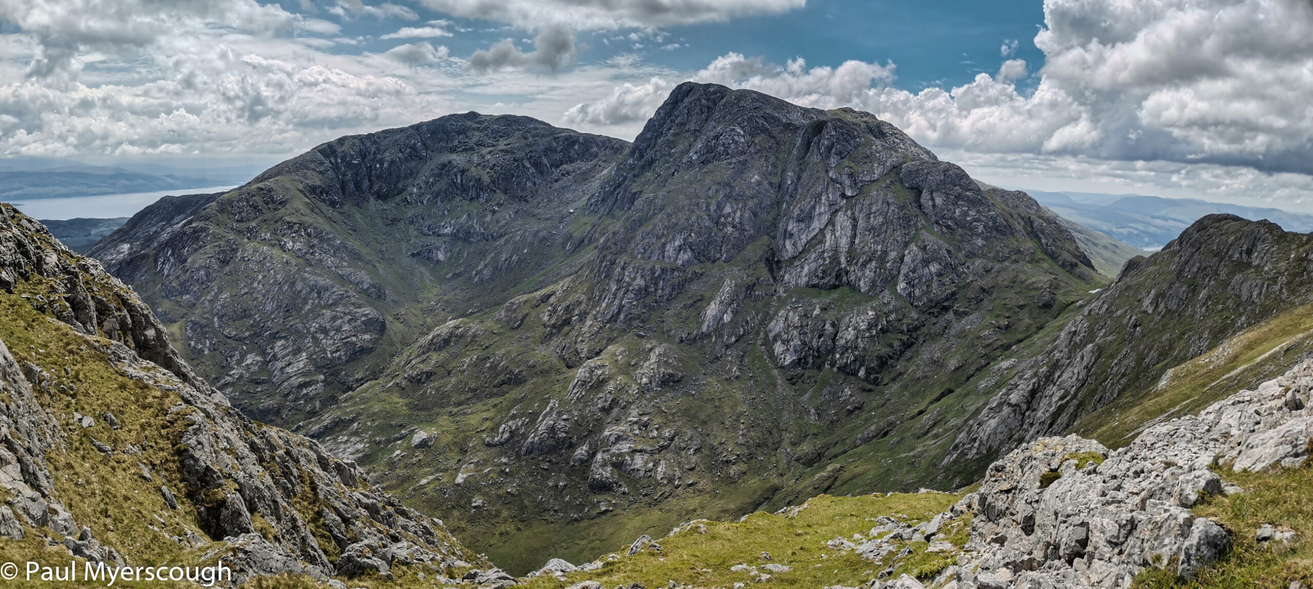
On each visit to west Scotland the first top I reach is a revelation with mountains peaking in every direction. Too many to begin to think about identifying, although sometimes there is a glimpse of one that is slightly higher than the rest which must be Ben Nevis. It is always a challenge to work out where the planned route leads to the horizon, and confronted with spectacle in every direction it is hard to focus on this simple task.
At the bottom of the road I found the Ariundle Centre. Food, drink, and accommodation available, a good opportunity for a cold drink to rehydrate before the evening. I sat alone on the veranda looking over the gardens. I asked if it was usually so quiet – “no-one wants what we offer, they want all the activities they can get on the mainland (sic!) and we don’t have them here; we’ve been here for 31 years and now nobody knows about us!”. It sounded sad. When I went to the counter to pay I could see a range of home made foods. It was tempting to stop early but this was day one: I should reach the planned destination if possible. I later met a TGO starter from Kilchoan who succumbed and had a great meal and a room for himself at a bargain price.
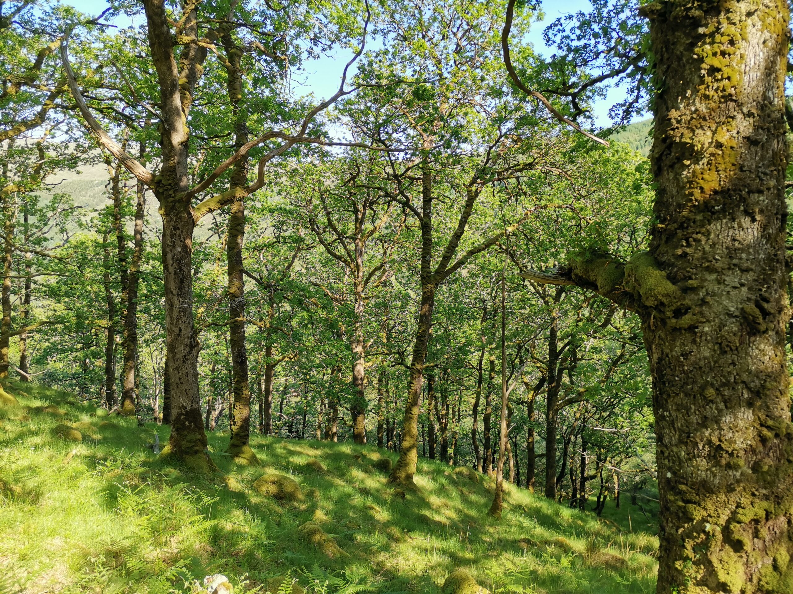
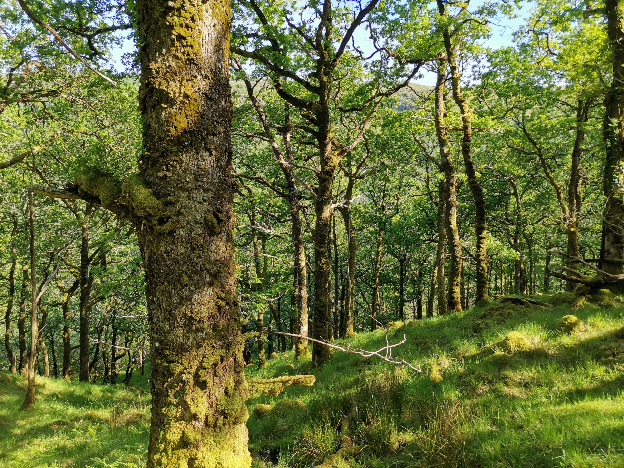
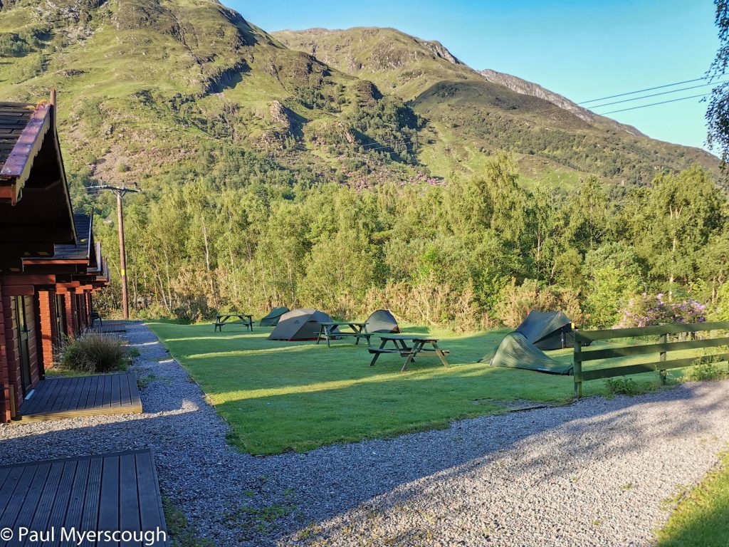
The forestry commission enclosure has a large portion devoted to oak, which is traditional for the area apparently. They all looked a bit skinny to me, may be ‘traditional’ but not ‘ancient’. Beyond the edge of the trees the planned camping place looks fine with ready water and a great view of the hills above. Nearby I spot a small green tent, but no sign of the occupant. I learn later this was Jim Davidson who travelled with the others earlier that day to the boat across Loch Shiel.
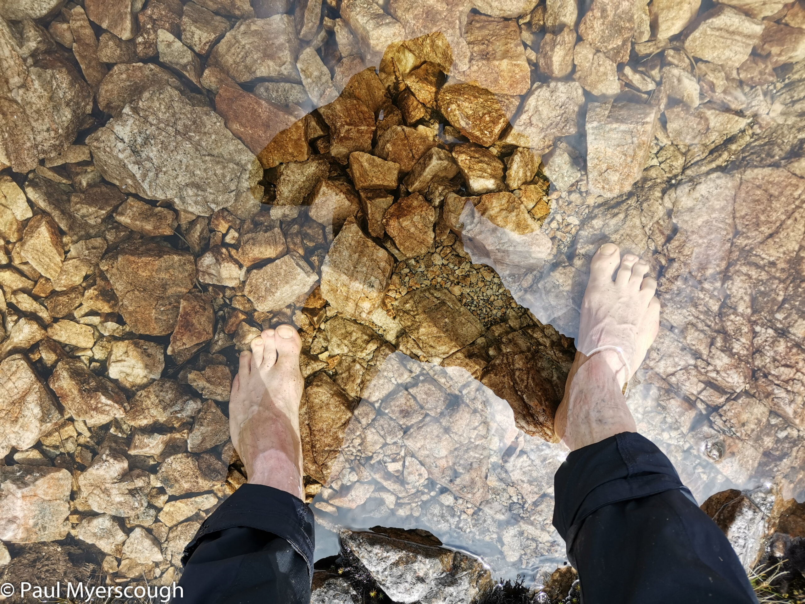
Reflecting on the words of a travel companion on the train from Glasgow (Anne from Bovey Tracey) I was keen to bathe my feet in the nearby stream. I removed my boots and as I started to sit on the bank a large adder zoomed out from under me and across the stream to hide under the bank on the other side.
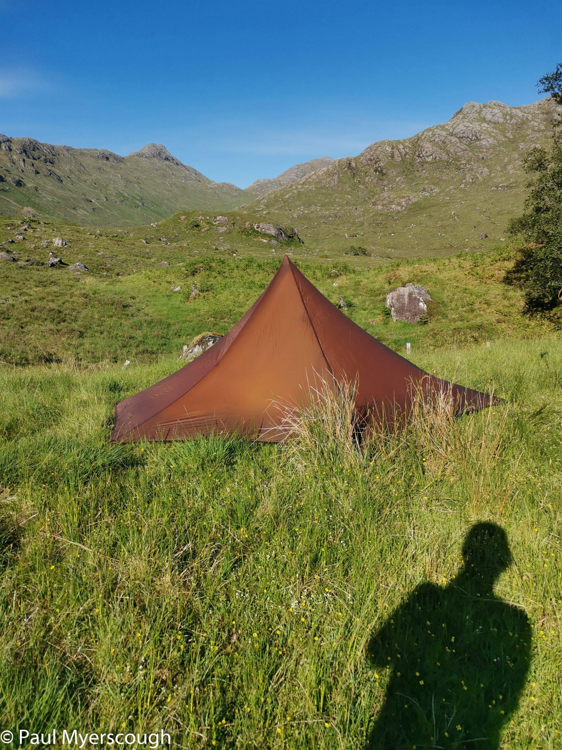
I completed my evening routine and ate my meal enjoying the view in front of me. Then as the wind dropped the midges began to swarm. The only possibility of being comfortable was to get into the tent and zip-up the inner shelter. The number of those creatures was frightening. Would I manage to get out of the tent again? Through the night the wind and the temperature fluctuated a bit and it was remarkable how the midges disappeared and then reappeared depending on the conditions.
Day 2
The morning was fine and I arose to see the occupant of the green tent setting off. It looked he was following Glen Gour – towards the Corran ferry.
A little later I made my way up onto the ridge.
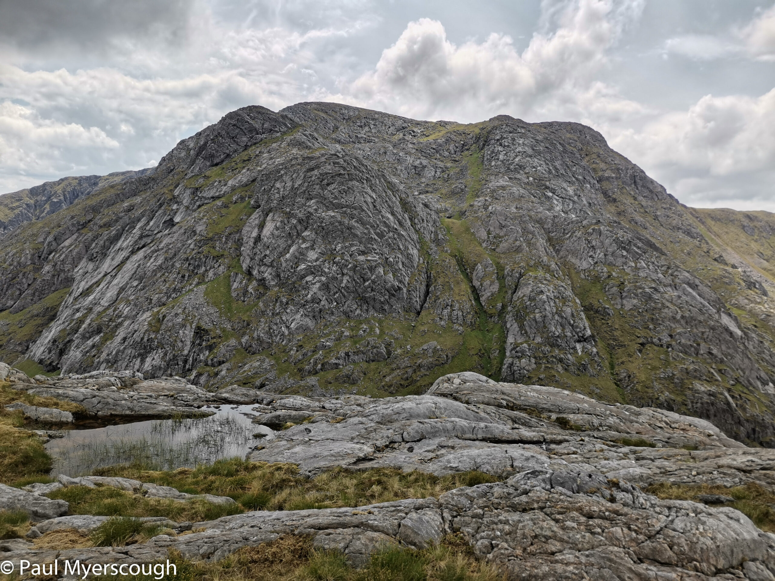
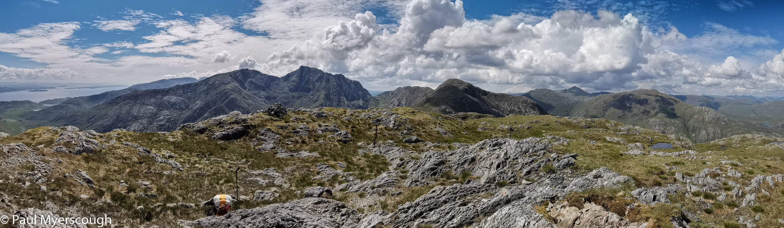
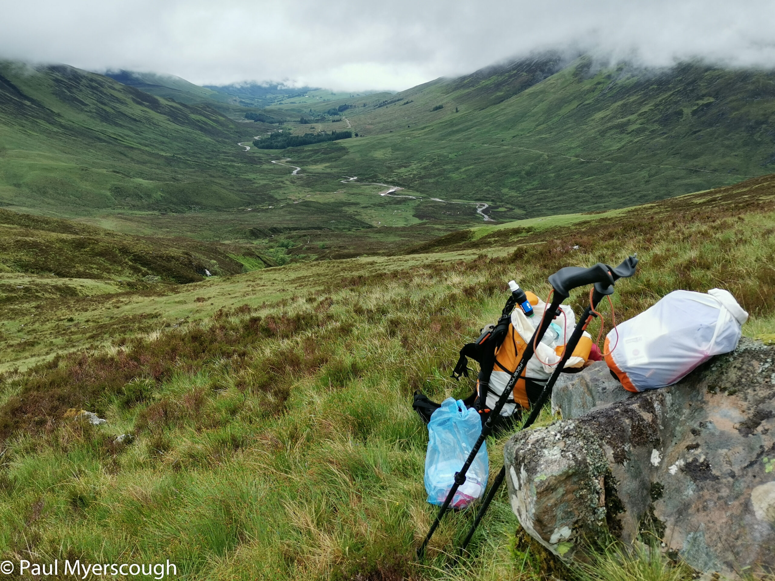
The route is pathless but full of interest with impressive rocky crags and many small lakes and possible camping spots. The biggest challenge was navigation at a ‘micro’ level. The ridge can only go one way so the general direction is under control, but working out the exact position can be difficult. Speed varies a lot over mixed rough terrain like this, and identifying which small lakes are the ones on the maps and which are not is no easy task. It is useful when the phone can be used to prove that the satnav is not lying!
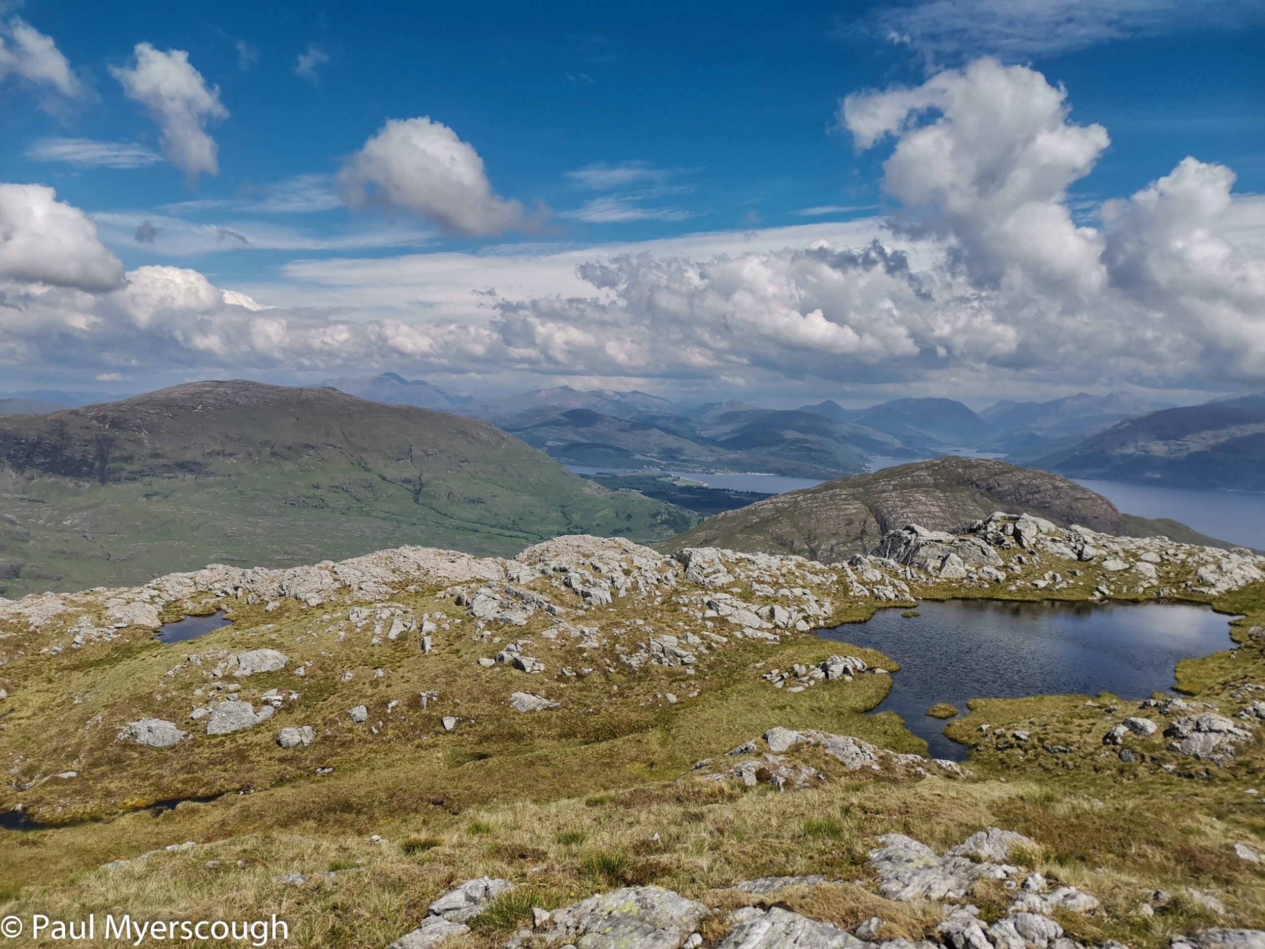
My vetter counselled that I should not take the direct route off the ridge down to the far end of Glen Gour but rather head south joining the road alongside Loch Linne. This added some very pleasant high walking on the grassy ridge mobbed by nesting birds, but also gave 3 or 4 km on the road to reach the ferry.
I found Anna seated outside the Inn at Corran. This was Saturday and place was buzzing with day trippers. The staff had not worked out a realistic Covid working protocol – only allowing one employee in the bar area meant that he spent all his time writing down orders, and no time pouring drinks. Everyone was waiting, many complaining. The map indicated a pub on the other side so I moved on hoping to get rehydrated at Inchree – in vain because the only place was closed.
Above the village I found the route through a Forestry Commission park area towards the planned campsite. Leaving the enclosure over a cattle grid I was startled in the fading light by a figure crouching over a stream. It was Jim who started at Acharacle. On the first bit of flat ground there was a familiar looking green tent. He was my neighbour on the previous night. After a short chat it was clear that midges were many and busy here, so I made my way over to the river to pitch my tent. The land was badly churned up by grazing cattle and this, together with rampant midges made an uncomfortable camp.
Day 3
Jim is an early riser and there was no sign of his camping spot when I returned to the track in the early morning rain.
I looked for the way up onto the ridge which would start from a bridge over the river to the right of the track. In this direction, on a island of flat grass surrounded by trees and wet ground, there was a small tent with a figure shrouded in a midge net. Anna! She had not gone to a B&B as I understood but came later in the evening to camp, advised by the local farmer to move up the valley to by far the best spot! After shouting our greetings I continued, and a little further on spotted a small path heading down to the river and a bridge across to a cottage.
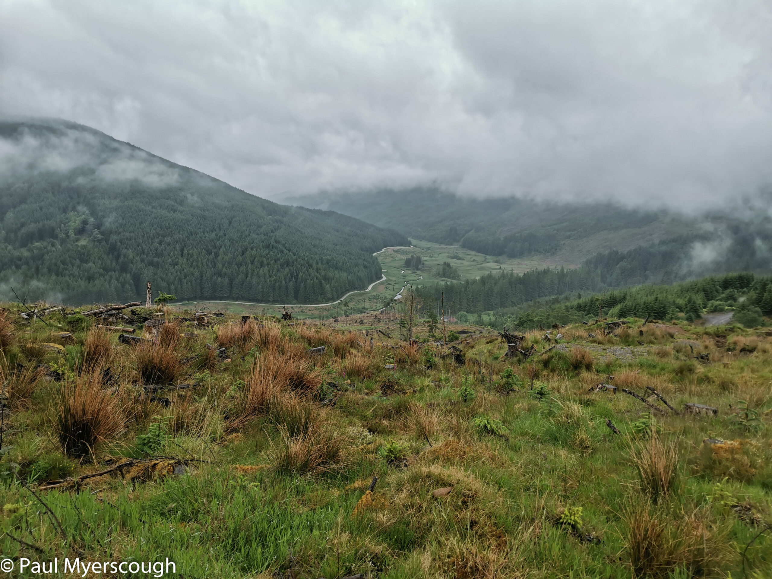
I could see some made paths heading up through the felled plantation into the misty cloud above – this was a big help reaching the ridge and open ground beyond the plantation fence. The change in weather was a big disappointment however, and the grassy, lumpy, ground without paths is no joy to traverse and navigate across without good visibility.
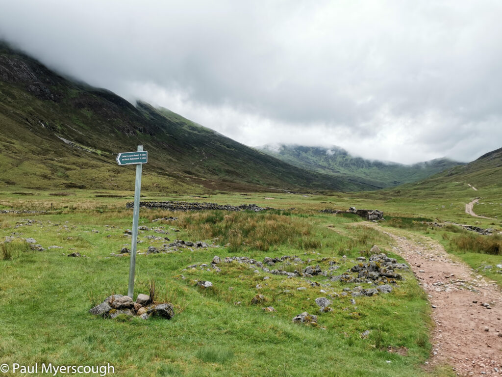
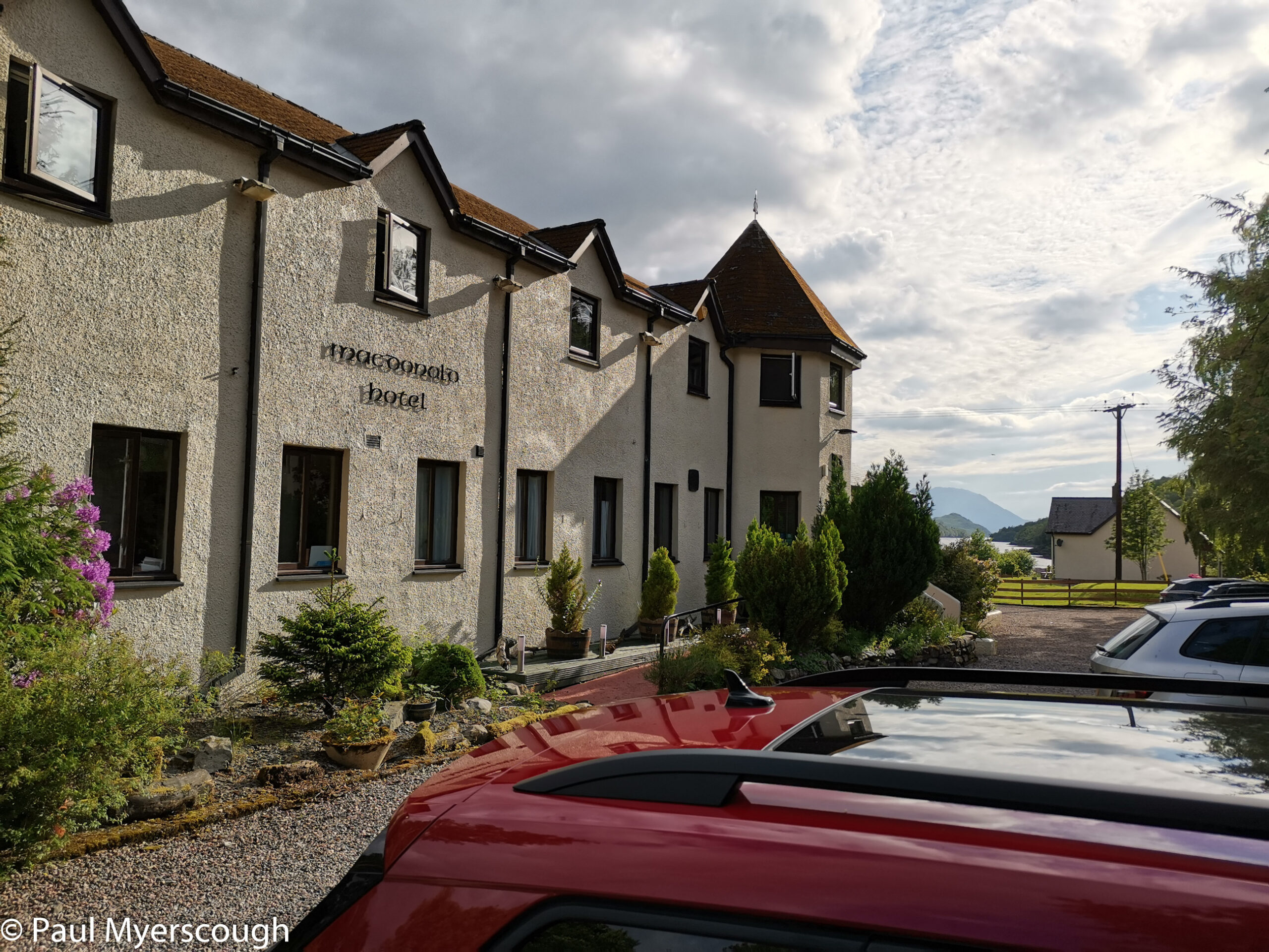
When I could, I diverted off the ridge avoiding the cloud-bound tops Mam na Guilainn and Beinn na Callich and followed the path down to the West Highland Way. This leads directly to Kinlochleven arriving on the road right by the MacDonald hotel where I had a supply parcel waiting.
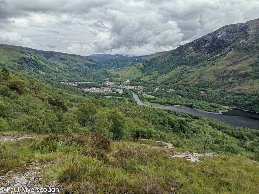
The rain was hardly troublesome but the long grass and wet heather transmitted water to my socks and into my boots – something that would not have happened with gaiters or waterproof trousers. The small drying room at the back of the hotel was most welcome for fixing my boots and socks as well as a bit of washing.
Where next? Look here!