Friday 8th May Glenelg and Beinn Sgritheall
(note1: click on a picture to enlarge it … Push and pull the map in the window below to see the route (days 1-4)in blue.
To learn how we got to the start look here!
Download file for GPSOur landlady puts the TGOC ‘sign-out sheet’ in her porch on Thursday night.
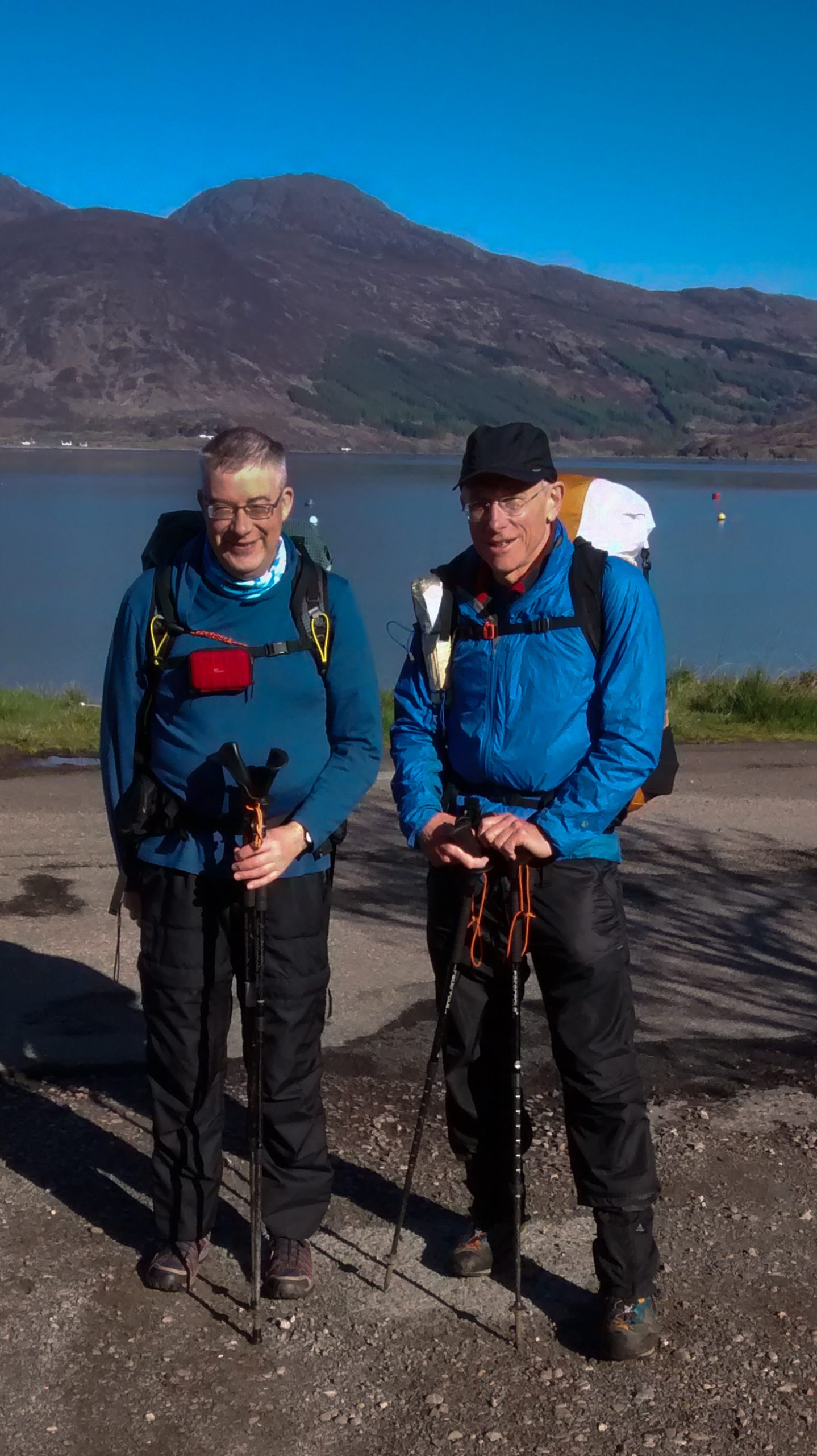
There are 3 other TGOers at the breakfast table:- Bob and Rose Cartwright, and David Albon. I head off with David at 9, while Bob and Rose are wondering if there’s a shop where they can buy some lunch. Several others have already signed out.
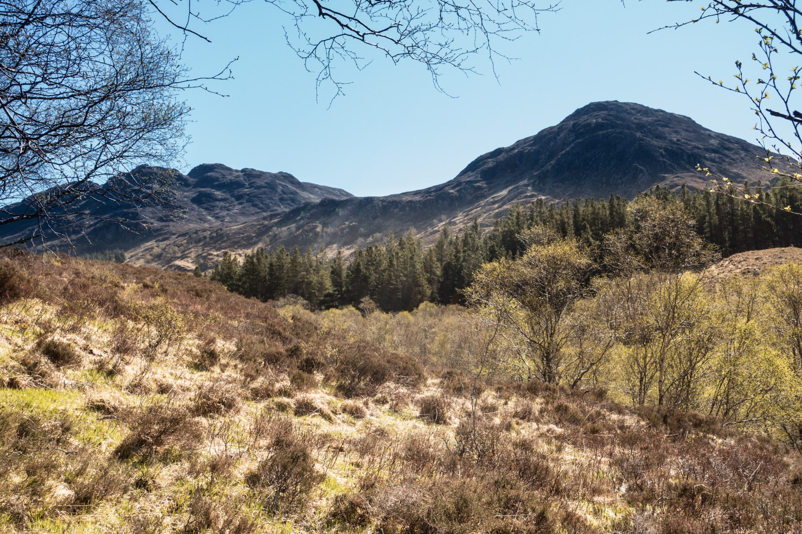
The weather is fine and sunny; primroses decorate the roadside, tadpoles wriggle in the puddles, and a cuckoo calls. I soon leave David to explore the first Broch (see previous post) and head up the valley on the south road looking for the bridge across the river giving me access to Beinn Sgrithe.
As I leave my pack Roger Boston catches up with me.
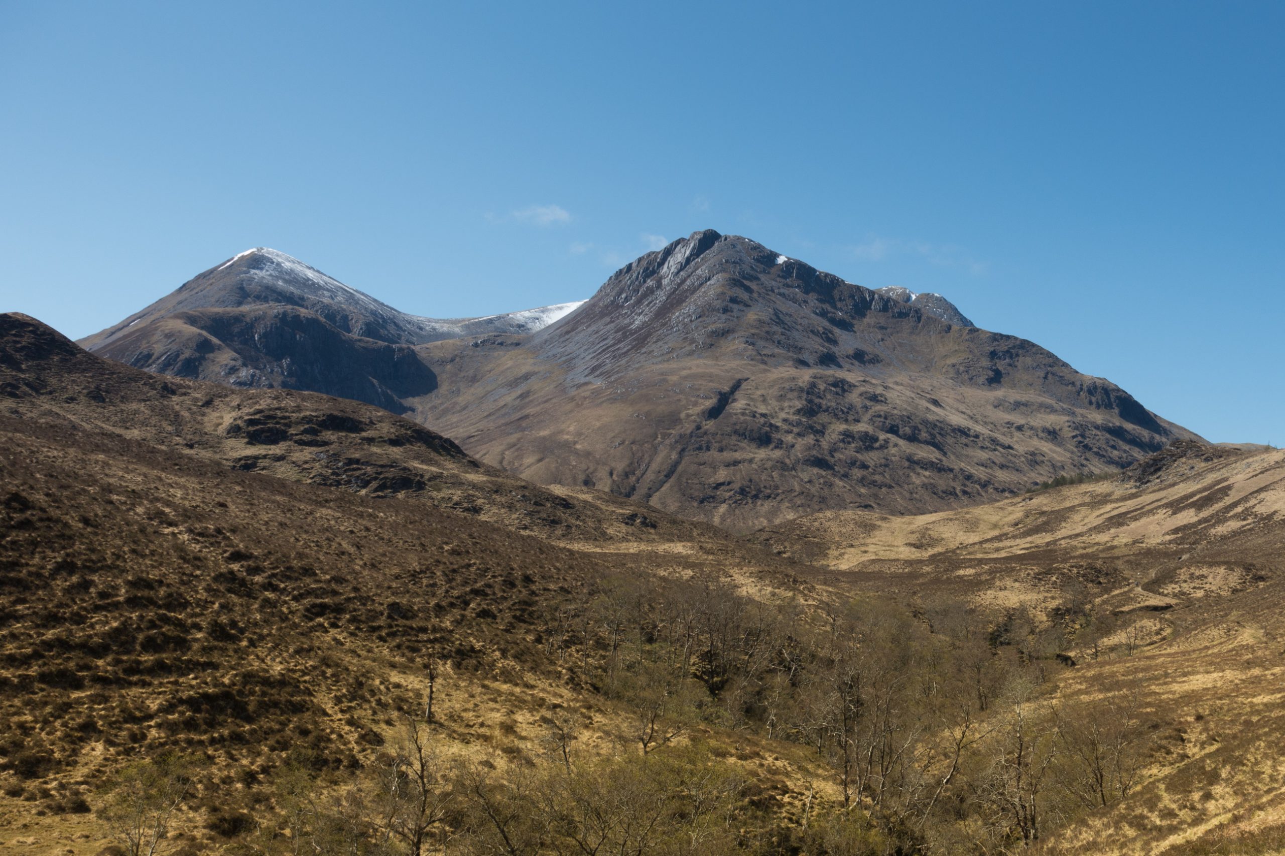

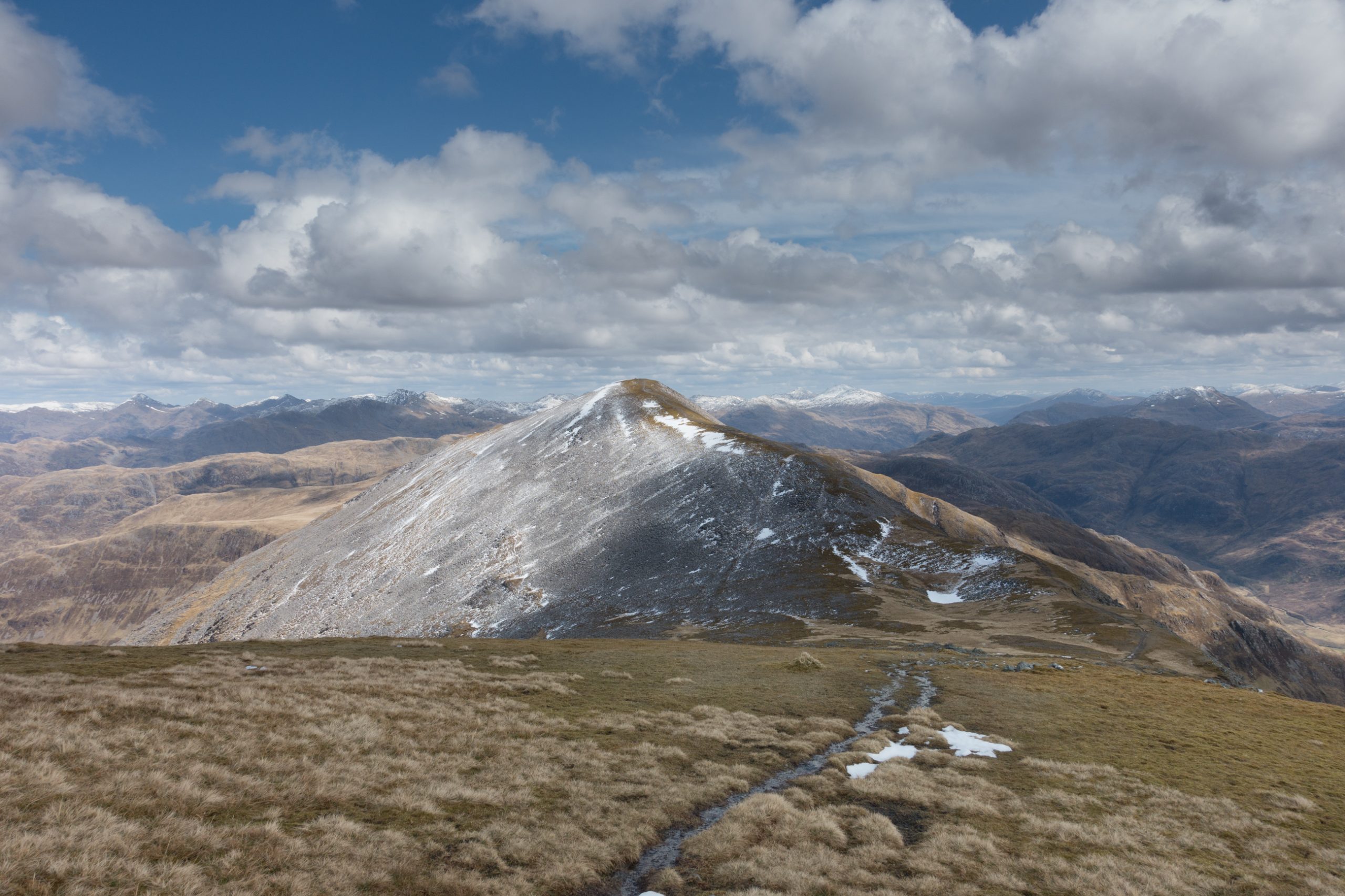
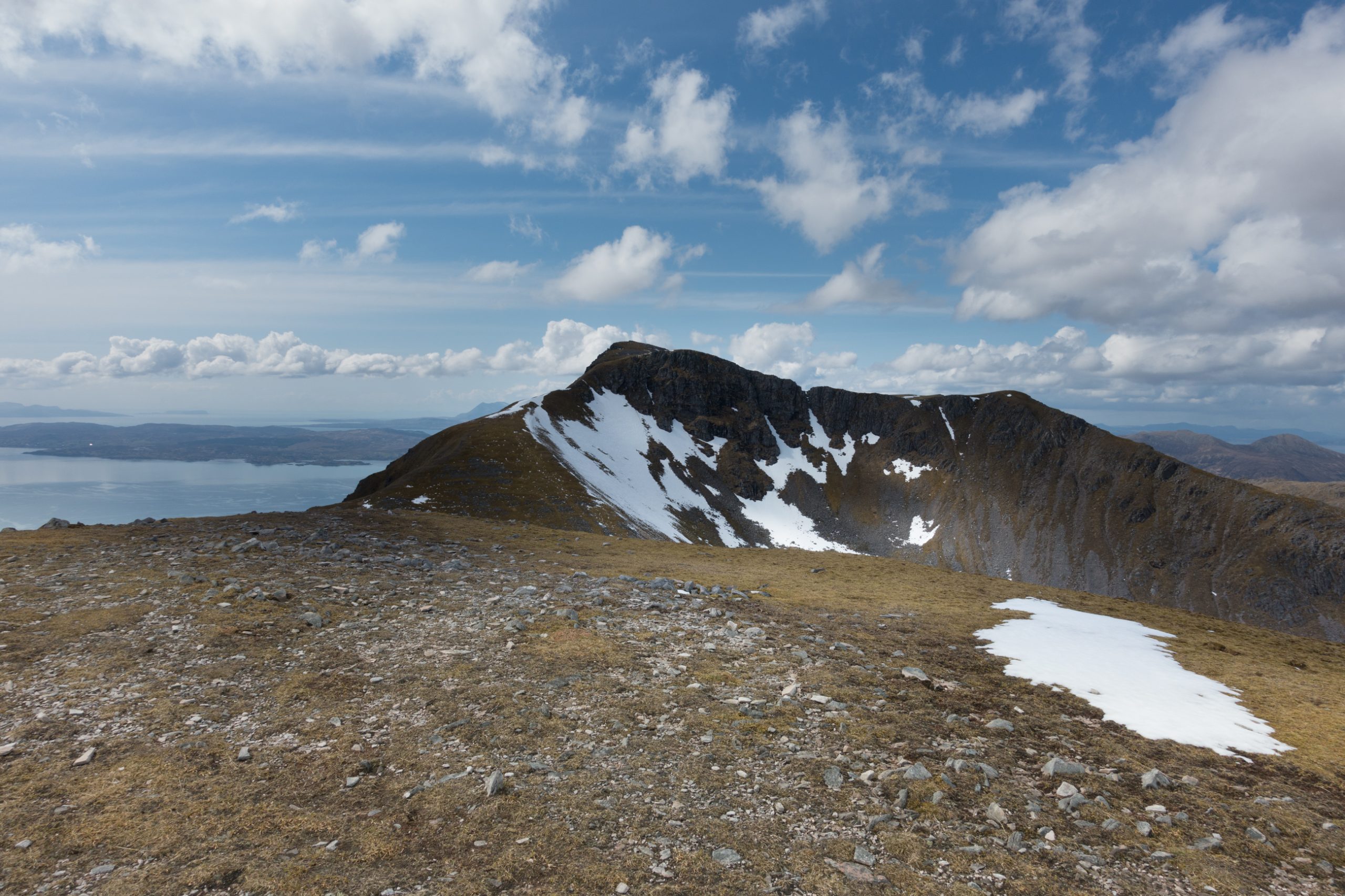
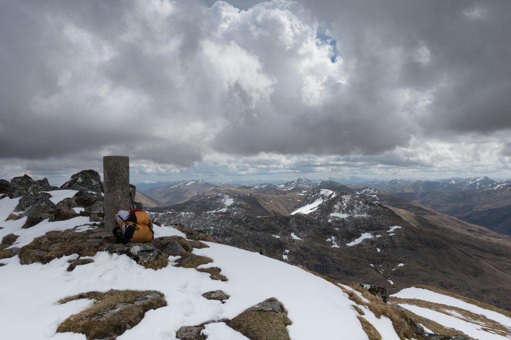
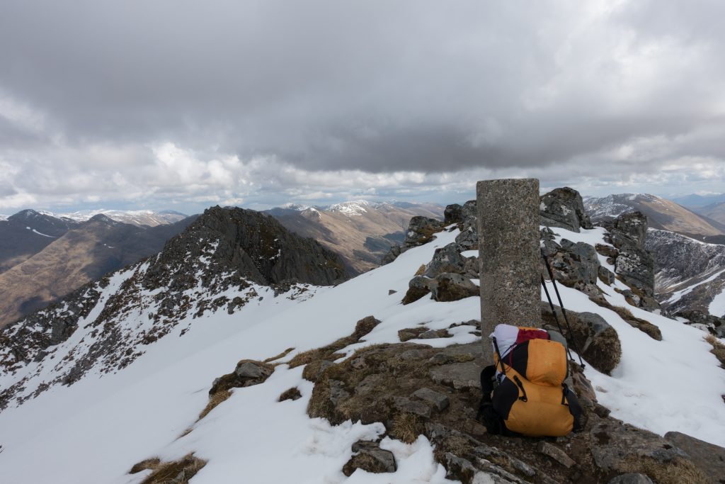
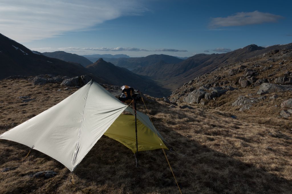
This is a great diversion – about 5or 6km to the top, revealing great views over Skye. In fact in every direction mountains recede into the distance. The image of these twin peaks will be with me all the following day as I look to the west.

I head down to my pack, while Roger heads SE to catch a few corbets on his way to Kinloch Hourn.
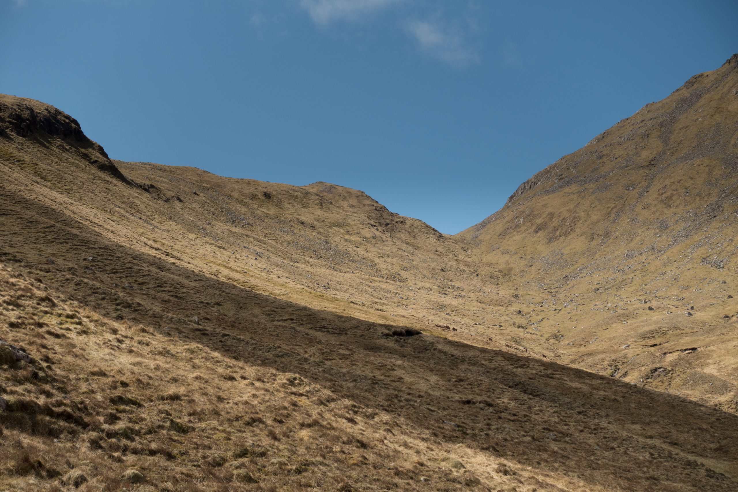
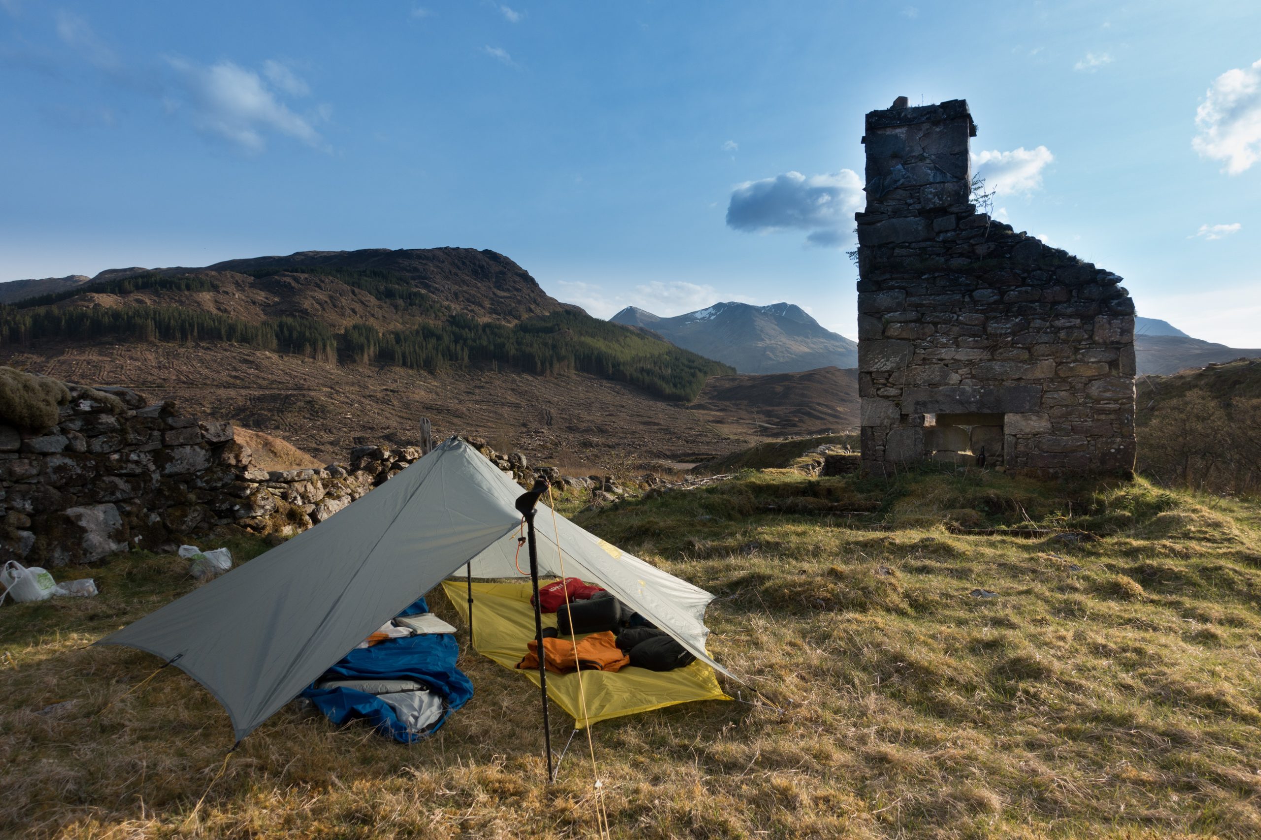
I am back in the valley after 5; I planned to camp near Suardalen Bothy about 40 minutes away. Several TGOers had checked in there during the day for a break, but at 6pm it was deserted.
I go a bit further to a spot I identified at Bealachasan on my walk over from Shiel Bridge. Here I could watch the sun set over my twin peaks of the day.
Saturday 9th May NW ridge to Saddle, Sgurr na Sgine, & S. Shiel Ridge
The good weather stays, promising a great day ahead. Some cloud appears above the tops over Skye to the west and later nearby but it remains well above the mountains.
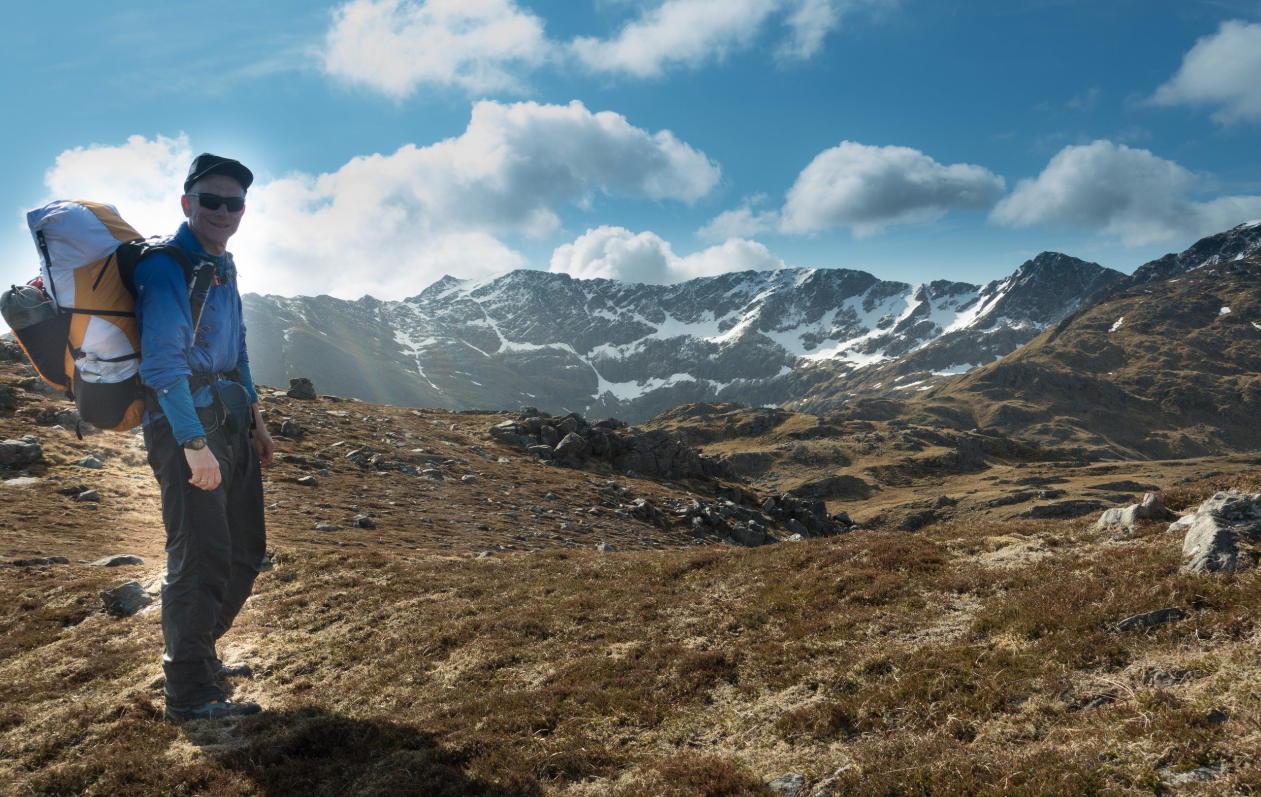
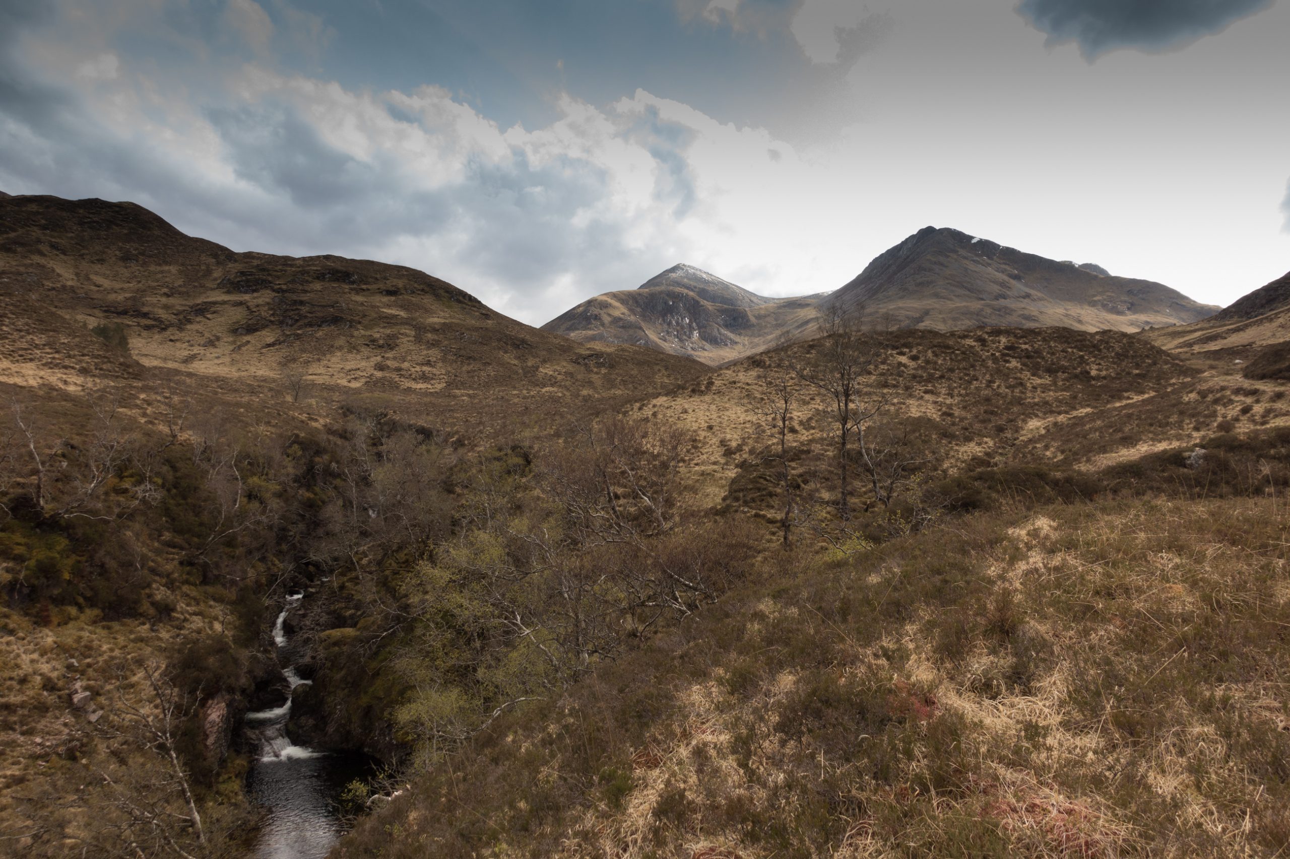
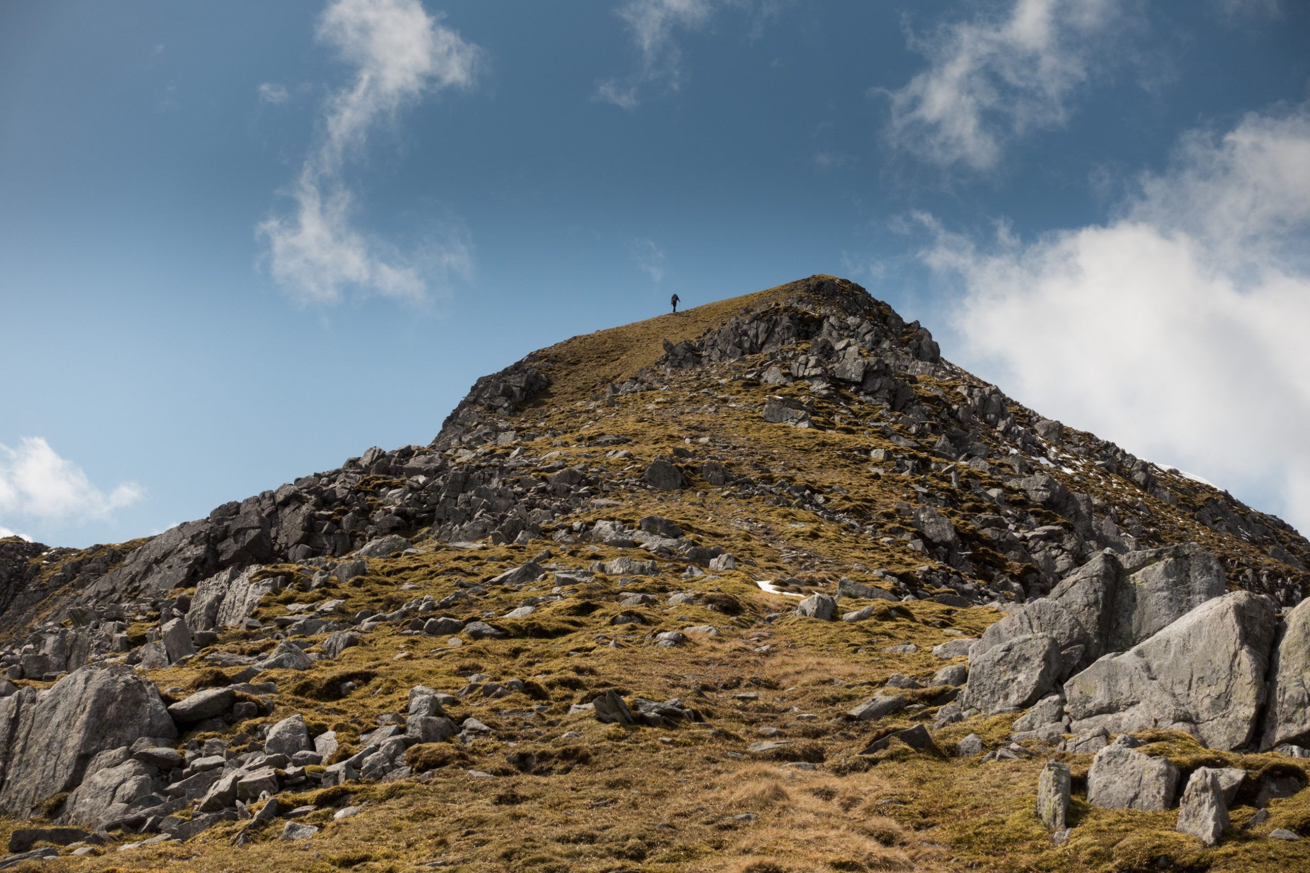
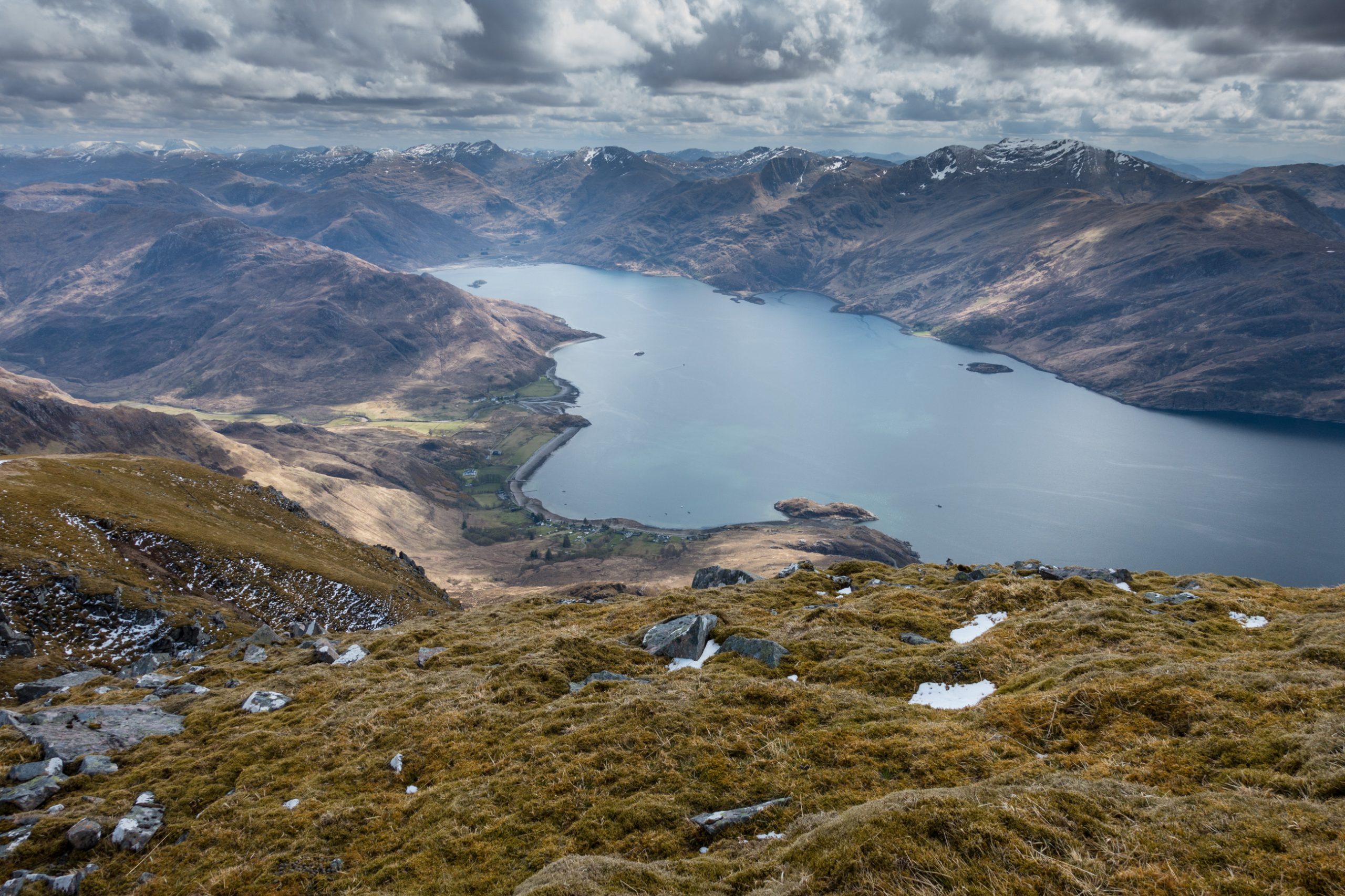
By 9 o’clock I was on the NW ridge of the Saddle. This is a fine route which twists and turns steadily progressing upwards to Spidean Dhomhuil Bhric. Then the ridge narrows as it approaches the Saddle, before reaching a wide area of snow surrounding the trig point.
I’ve not seen a soul all day, but this will change as a steady procession of people approach up the Forcan Ridge.
My route is down to the Bealach, I skirt the snow at its steepest, but then move across when I feel safe from a uncontrolled slide and the going becomes easier with with snow smoothing out the rocky surface underneath.
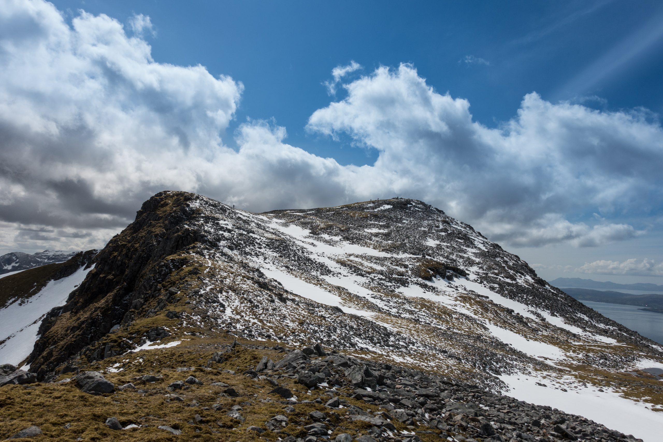
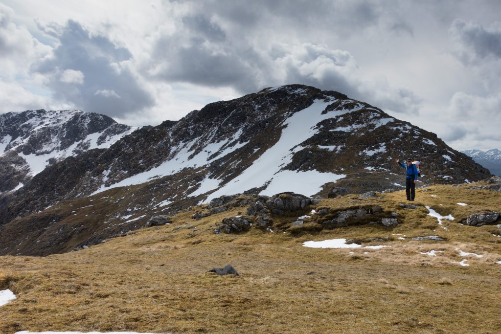
Across the other side is Sgurr na Sgine. Once on the ridge it is an easy walk to the summit cairn.
My route takes me further eastwards and I was encourage by my vetter to continue south rather than backtrack to reach the lower ground for approaching the next bealach.
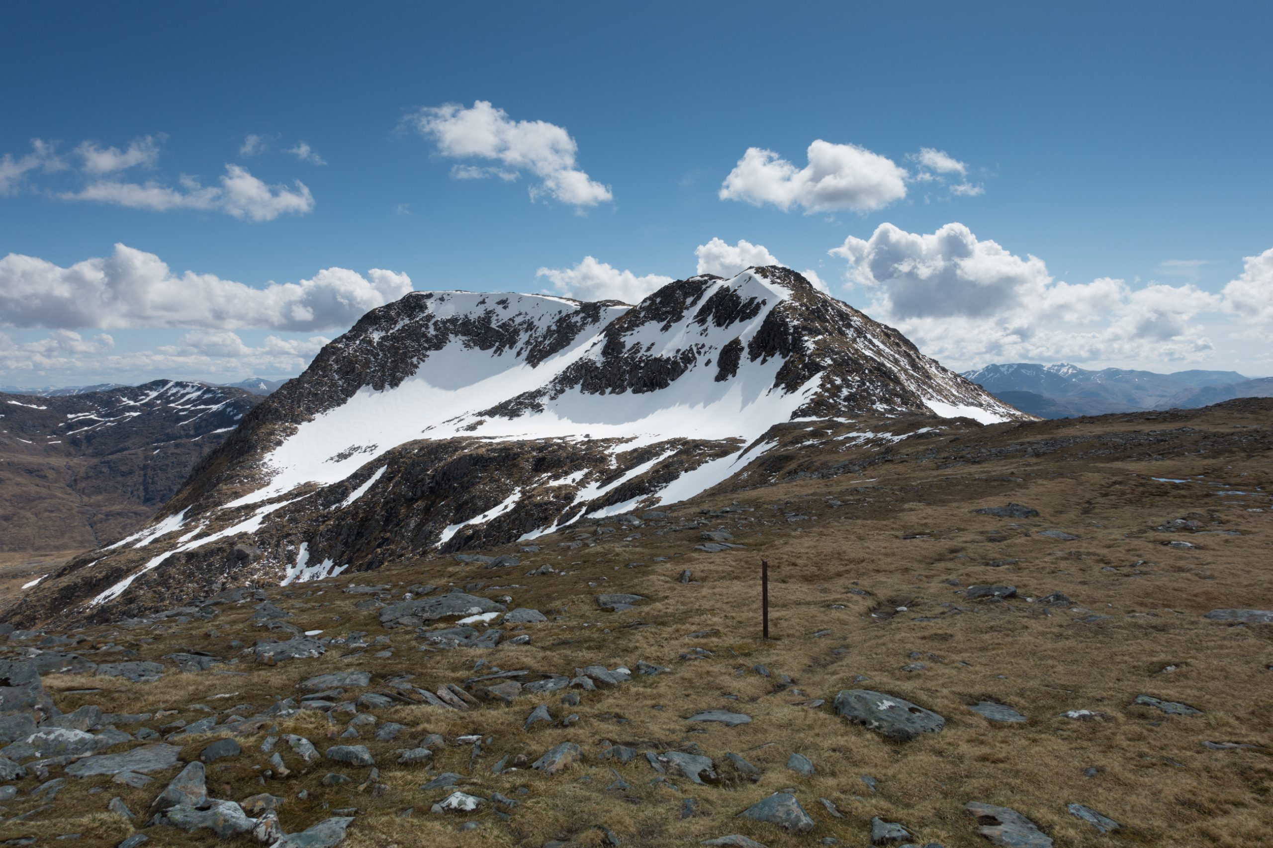
After a while I understand why. Down this side of the hill is a drystone wall which provides a level route to traverse the slope. It also allows some time to study Sgurr a Bhac Chaolairs on the other side.
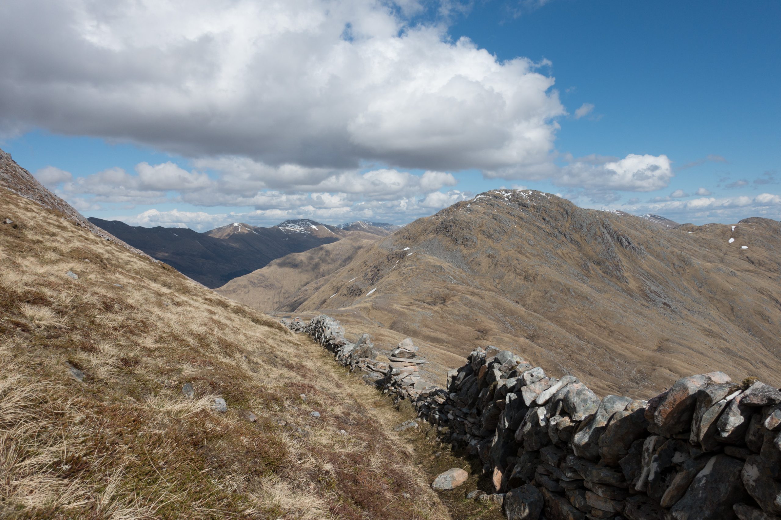
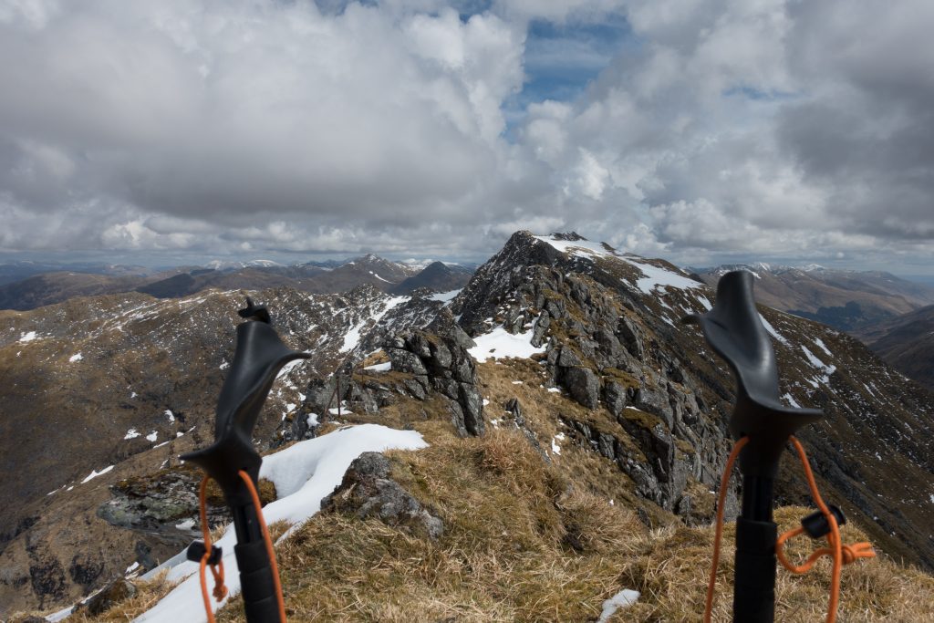
There is no obvious way up. It is disconcerting to approach a slope without a plan of ascent. As you move closer you see less and less. My faith in the sloping terrace that seems to exist on the map to the left was misplaced and there is an uncomfortable scramble on sloping grass to reach firmer ground above.
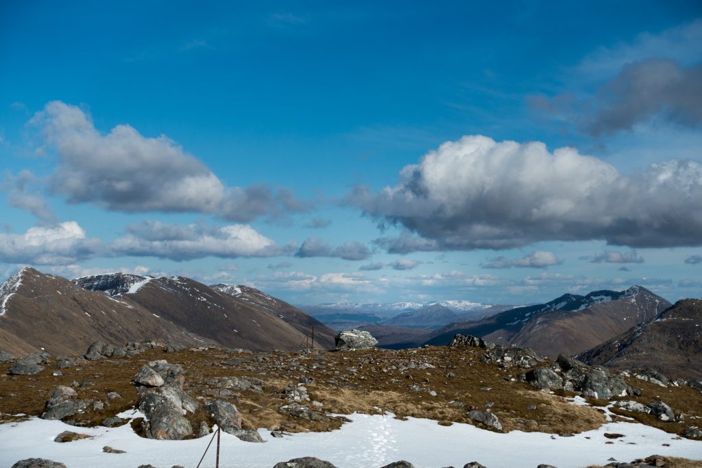
Once up here I am rewarded with impressive view back towards the Saddle with a great expanse of rock of Sgurr na Sgine in the foreground. Time for a brew and a biscuit.
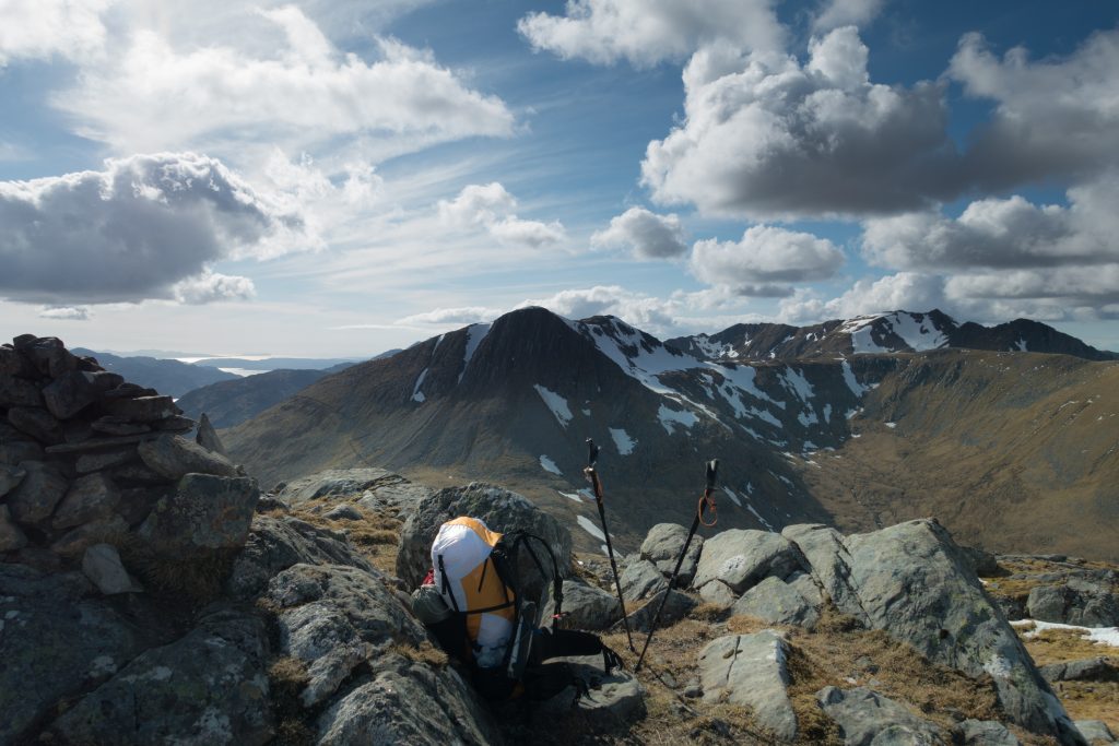
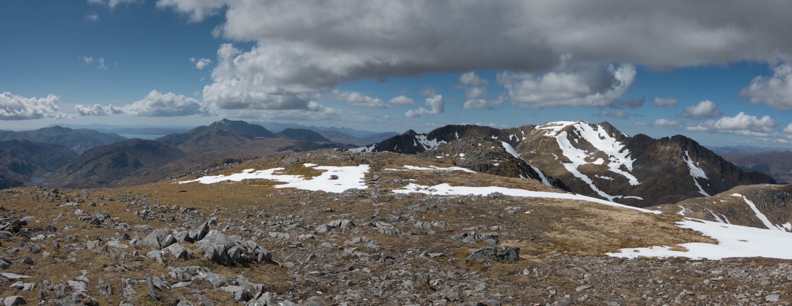
Moving from here across the next bealach to the beginning of the south Shiel Ridge is straight forward. It is 18:30, time to set up camp. Several walkers appear from the nearby summit of Creag nan Damh, enthusiastic about their traverse of the ridge. I’d planned an area by some lochans with a hint of a stream or spring. After confirming my location with the GPS I realise they are hidden under patches of snow and ice.
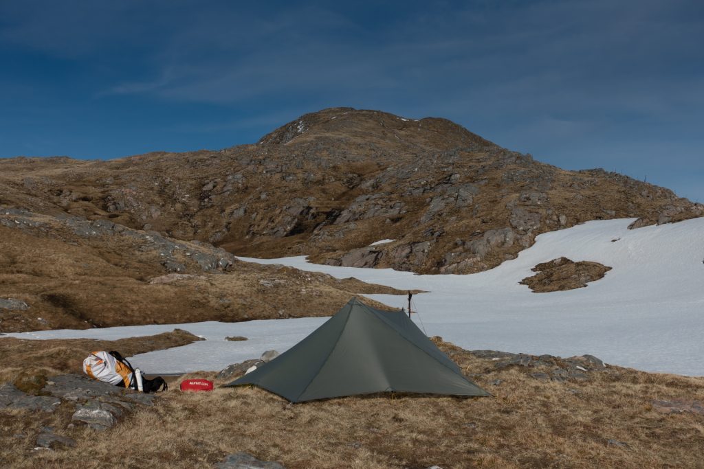
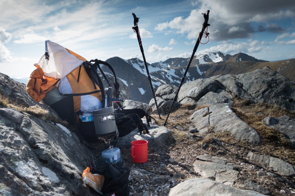
The icy outflow has a brackish taste, which disappears when boiled and added to my food. To the west there’s a red sky as the sun sets and, below, one or two lights twinkle suggesting activity along the road to Shiel Bridge.
For the next installment look here!